Landmark: Bkassine Pine Forest
City: Jezzine
Country: Lebanon
Continent: Asia
Bkassine Pine Forest, Jezzine, Lebanon, Asia
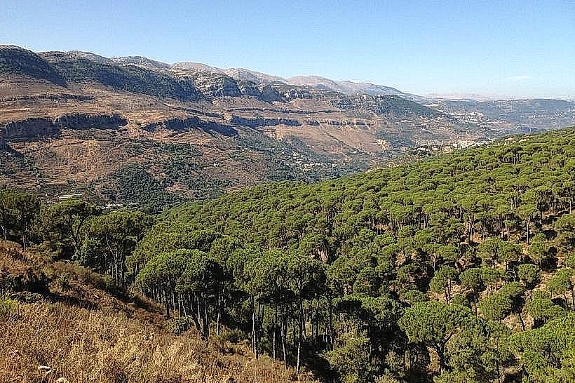
The Bkassine Pine Forest is a massive, contiguous forest ecosystem located on the rolling hillsides surrounding the village of Bkassine, within the Jezzine District of the South Governorate, Lebanon. Spanning an uninterrupted 200 hectares of land, it stands as the largest stone pine forest in the Mediterranean basin, functioning as a strictly protected natural site and a prime national hub for eco-tourism.
Visual Characteristics
The forest landscape is defined by an incredibly dense, uniform canopy of mature stone pine trees (Pinus transformation), recognizable by their distinctive umbrella-shaped crowns. Situated at an elevation ranging from 800 to 1,000 meters above sea level, the terrain features a network of gentle ridges, deep sandstone ravines, and traditional agricultural stone terraces. The forest floor is covered with a thick carpet of dried orange-brown pine needles, interspersed with wild Mediterranean shrubs, sage, and seasonal wildflowers. The open design of the stone pine stands allows natural sunlight to filter down to the paths, creating a high-contrast pattern of light and shadow.
Location & Access Logistics
The forest is positioned immediately adjacent to the village of Bkassine, approximately 72 kilometers south of Beirut and 5 kilometers northwest of central Jezzine. Access from the capital is via the southern coastal highway to Sidon, turning inland onto the regional highway ascending eastward through Roum toward Jezzine, with a clearly marked northern branch road leading directly to Bkassine. Multiple paved and unpaved municipal entry parking lots serve the forest perimeter. Public transport is restricted to regional minivans from Sidon to central Jezzine, requiring a short local taxi ride to cross the valley floor to the primary Bkassine trailheads.
Historical & Ecological Origin
The forest was systematically planted and managed starting in the mid-19th century under local Ottoman administrative incentives to stabilize the steep, sandy mountain slopes and establish a sustainable economy centered on pine nut harvesting. Geologically, Bkassine occupies a rare outcropping of soft, non-porous Cretaceous sandstone formations embedded within the otherwise dominant limestone matrix of Mount Lebanon. This specific acidic, well-drained sandstone soil provides the exact ecological parameters required for the extensive root networks of the stone pine species to flourish.
Key Highlights & Activities
Primary activities focus on low-impact outdoor recreation along an extensive network of color-coded hiking, mountain biking, and equestrian trails. The forest features the La Maison de la Forêt eco-tourism center, which acts as the main base for guided forest treks, tree-top adventure courses, and outdoor educational programming. Visitors can hike the circular paths to observe traditional pine cone collection methods, photograph the expansive vistas looking down into the Bisri Valley, and participate in managed birdwatching sessions targeting native forest avifauna.
Infrastructure & Amenities
The reserve features highly developed, eco-friendly visitor infrastructure managed in coordination with the local municipality. The central park area contains a modern eco-lodge, rustic wooden rental bungalows, an adventure park reception desk, and clean public restroom facilities. Paved stone pathways and informational signage frame the core activity zones, while the outer hiking trails remain unpaved dirt. Cellular network coverage (4G/5G) is stable and reliable across the main ridge lines. Fine dining specializing in traditional southern cuisine is available on-site at the forest restaurant, with additional guesthouses located in Bkassine village.
Best Time to Visit
The optimal months for hiking and outdoor adventure are from April through November, when the mountain weather is consistently dry and trail conditions are stable. Early morning hours (07:30 to 10:00) provide the coolest ambient temperatures and optimal directional lighting for landscape photography beneath the uniform tree canopy. The winter season (December to March) brings heavy rainfall, strong mountain winds, and occasional frost, which can make the dirt forest tracks slick and muddy, limiting outdoor recreational activities.
Facts & Legends
A verified agricultural fact is that the Bkassine forest remains a highly productive economic asset, generating metric tons of premium edible pine nuts annually through a highly regulated seasonal harvesting process managed by the local agricultural cooperative. Local historical records note that during the early 20th century, the impenetrable depth and complex terrain of the pine forest served as a vital, strategic hiding ground for local villagers and political figures seeking to evade tracking by foreign military patrols, using the thick umbrella canopy to completely mask their movements from high-altitude observation posts.
Nearby Landmarks
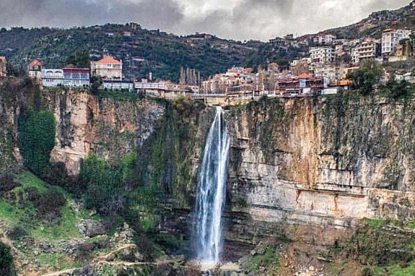
Jezzine Waterfall: 4.8km Southeast
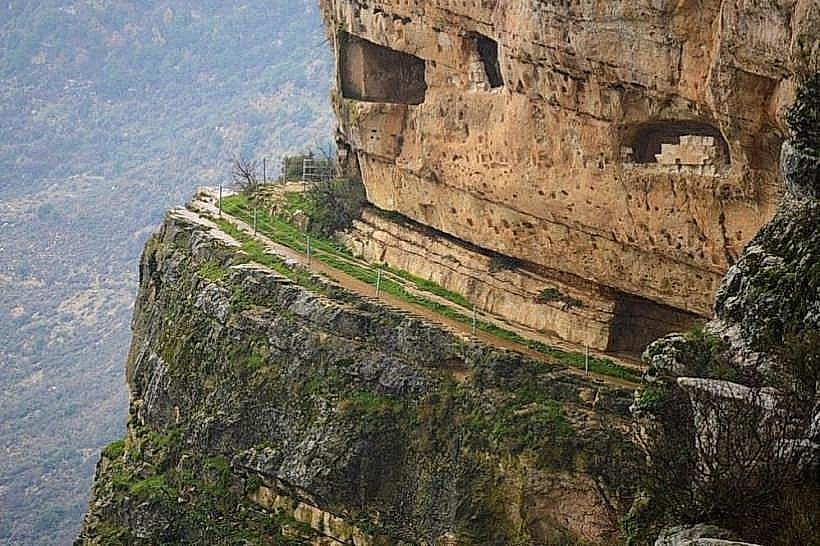
Fakhreddine Grotto: 5.0km Southeast
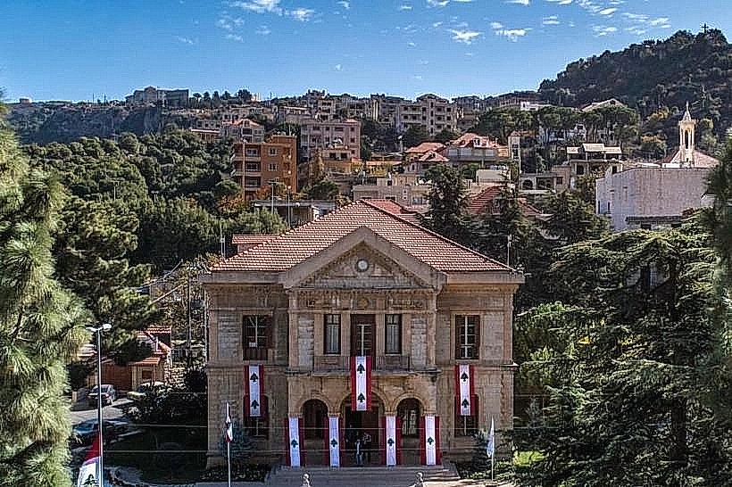
Serail of Jezzine: 4.2km Southeast
Farid Serhal Palace: 3.8km Southeast
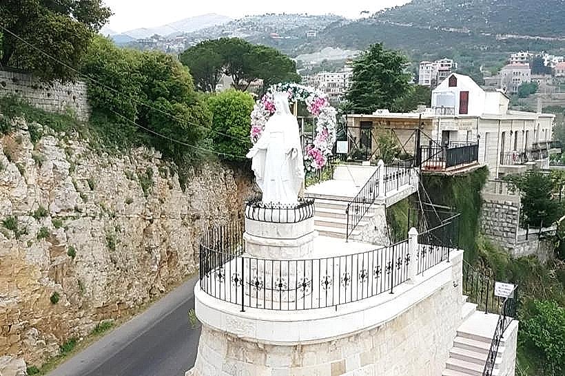
Our Lady of Machmoucheh Monastery: 3.5km Northeast