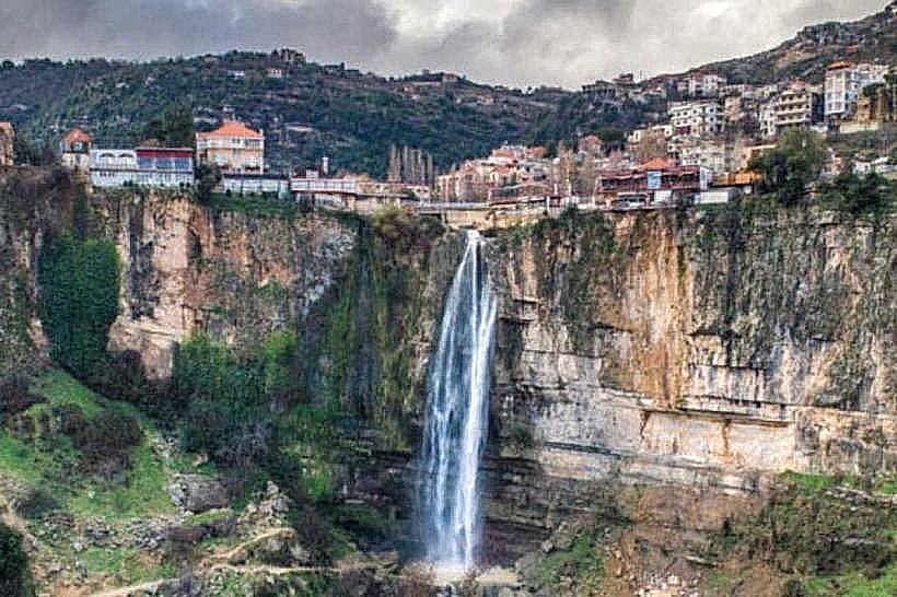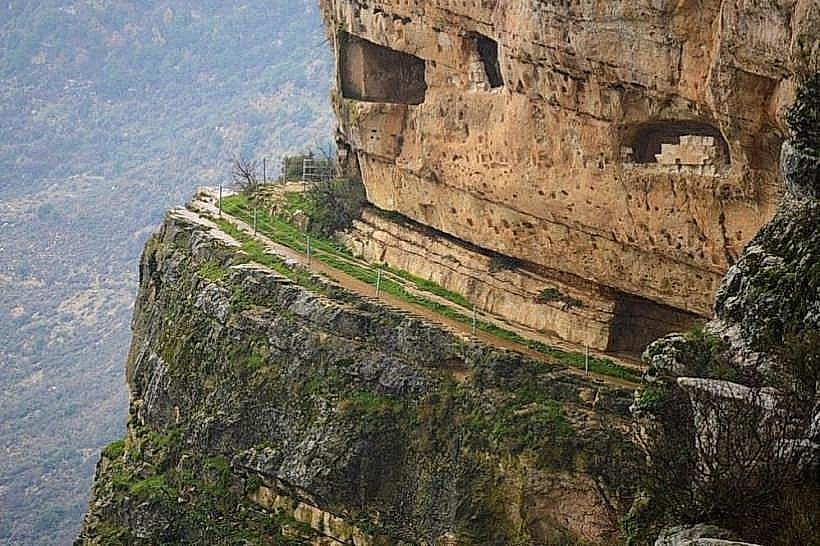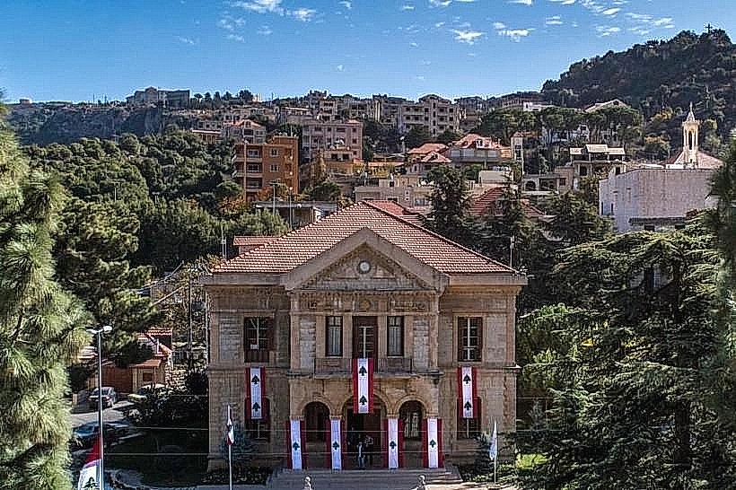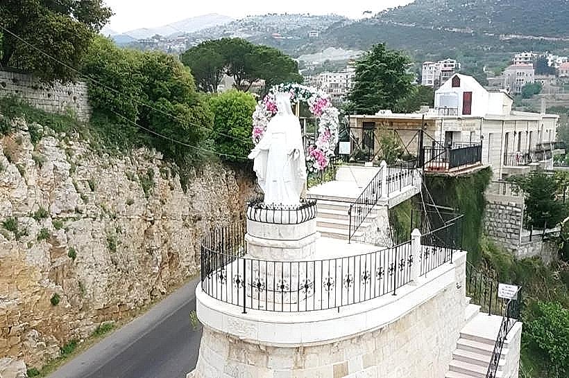
Landmark: Kfarmilke Springs
City: Jezzine
Country: Lebanon
Continent: Asia
Kfarmilke Springs, Jezzine, Lebanon, Asia
The Kfarmilke Springs (Oyoun Kfar Melki) comprise a network of natural freshwater springs situated within the rugged valleys of the village of Kfar Melki, located in the Sidon District of the South Governorate, Lebanon. Serving as a crucial hydrological source for the local agriculture, the springs form a scenic, undeveloped ecological destination popular for localized rural hiking and nature photography.
Visual Characteristics
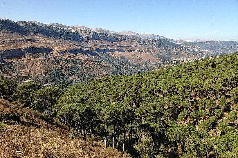
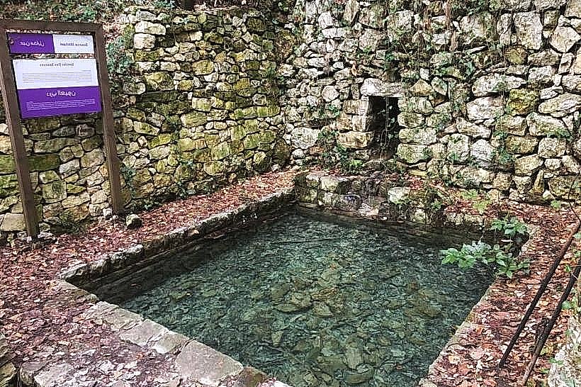
The area is characterized by a series of low-flow and perennial water outlets emerging directly from limestone rock fissures and moss-covered earth banks. Over decades, several of these springs have been framed by traditional, unpolished dry-stone masonry basins to capture the water flow for local distribution. The surrounding landscape features deep, steep-sided Mediterranean ravines covered in dense, wild vegetation, including scrub oak, wild olive trees, sage, and seasonal ferns. The water flows into small, clear rivulets that cut through the valley floors, forming shallow stone-bed channels.
Location & Access Logistics
The springs are located near the village of Kfar Melki, approximately 60 kilometers south of Beirut and roughly 20 kilometers southeast of the coastal city of Sidon (Saida). Access from the capital is via the southern coastal highway to Sidon, turning inland onto the regional highway heading toward Hrajel and ascending into the Iqlim al-Tuffah foothills toward Kfar Melki. Accessing the specific spring outlets requires navigating unpaved agricultural dirt tracks and walking along narrow, uneven pedestrian footpaths that wind through local olive groves and valley floors. No formal public parking infrastructure exists; vehicles must utilize dirt turnouts near the agricultural trails. Public transit is limited to regional minivans from Sidon to the village center, requiring a subsequent long walk down into the rural valley network.
Historical & Ecological Origin
Geologically, the Kfarmilke Springs are part of the complex karst aquifer system of South Lebanon, fed directly by winter rainfall that absorbs into the porous Upper Cretaceous limestone layers before hitting impervious clay strata and emerging as surface springs. Historically, these water sources dictated the settlement patterns of the village, serving as the sole supply for domestic drinking water, animal husbandry, and the intensive terrace-irrigation of citrus and olive crops that have sustained the local agrarian economy for generations.
Key Highlights & Activities
Primary activities focus on self-guided eco-trekking, backcountry walking, and nature photography along the unmapped valley paths. Trekking through the spring paths allows visitors to explore traditional, terraced mountain agriculture and view the native flora of the South Lebanon lower-mountain ecosystem. The site is entirely non-commercialized, appealing to hikers seeking rugged, low-impact outdoor exploration away from developed tourist paths.
Infrastructure & Amenities
The site is entirely natural and lacks any modern public or tourist infrastructure; there are no public restrooms, visitor information booths, paved promenades, or trash collection systems on site. Shade is abundant along the valley floors beneath the dense canopy of wild trees and limestone overhangs, but completely absent on the exposed agricultural ridges above. Cellular network coverage (4G) is unstable and fluctuates heavily within the deeper, narrow folds of the ravine. No commercial food or beverage vendors operate near the water tracks, requiring visitors to pack independent hydration, nutrition, and emergency supplies from the main village grid.
Best Time to Visit
The absolute optimal period to visit the springs is during the spring season from March to May, when the water output is at its peak volume from winter rains and the surrounding valley vegetation is in full bloom. The summer months (July to September) see a drastic reduction in water flow, with several smaller springs drying up completely due to the seasonal drop in the groundwater table. Morning hours provide the most comfortable walking temperatures and clear, bright lighting for landscape photography within the steep valley corridors.
Facts & Legends
A verified geological detail of the Kfarmilke spring network is that its discharge chemistry reveals a highly alkaline, calcium-carbonate-rich mineral profile, a direct consequence of the water filtering through deep limestone beds, which leaves a visible white mineral crust on the rocks surrounding the main outlets over time. Local agricultural history notes that the distribution rights for the spring water were historically managed through a complex, community-policed schedule called Qirat, where individual farming families were allocated specific hours of the day or night to divert the stream flow into their private terraced channels based on ancestral land ownership shares.
Nearby Landmarks
Jabal Safi Peak: 6.5km East
Mleeta Landmark (Resistance Tourism Site): 11.0km East
Ansar Archaeological Tell: 9.5km Southwest
Sidon Sea Castle (Coastal Highway Link): 20.0km Northwest