Landmark: Fakhreddine Grotto
City: Jezzine
Country: Lebanon
Continent: Asia
Fakhreddine Grotto, Jezzine, Lebanon, Asia
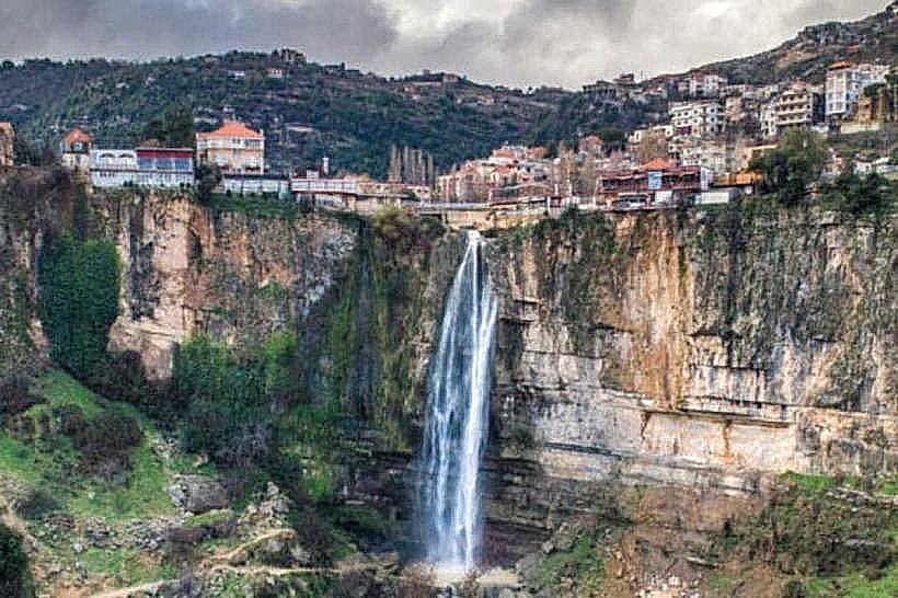
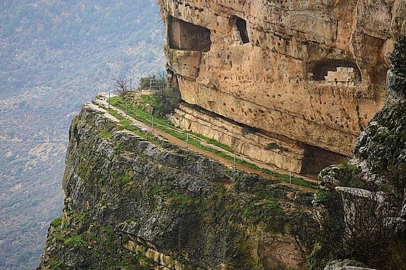
The Fakhreddine Grotto (Magharat Fakhreddine) is an ancient historical cave fortress carved directly into a sheer, vertical limestone cliff face on the rim of the canyon town of Jezzine, within the Jezzine District of the South Governorate, Lebanon. The site is famous as the final mountain hideout of Emir Fakhreddine II, a foundational figure of modern Lebanese history, who sought refuge inside its inaccessible chambers from Ottoman military forces in 1633 CE.
Visual Characteristics
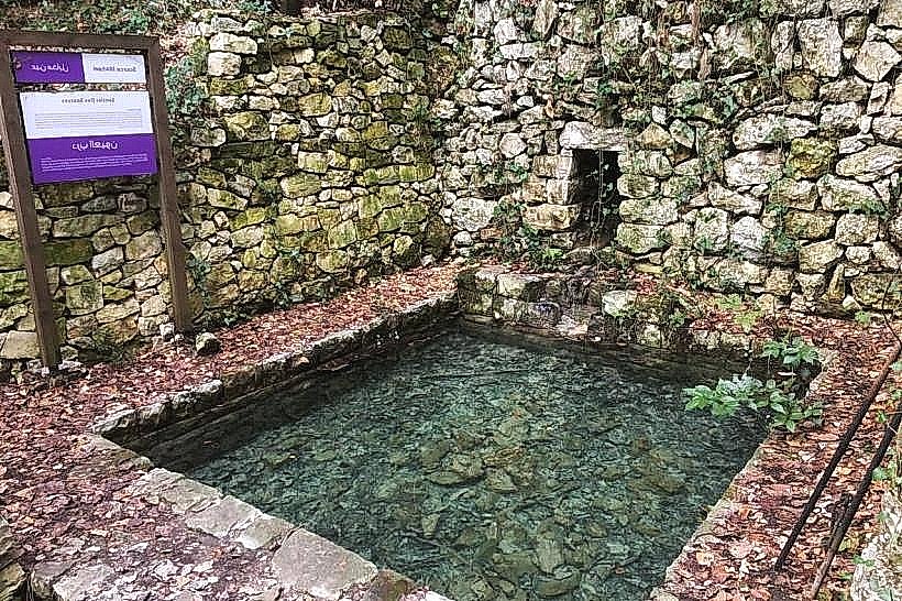
The grotto is a troglodytic fortification consisting of a series of natural karst chambers that were artificially hollowed out, expanded, and reinforced with stone masonry. Positioned roughly midway up a vertical cliff face, the site features a narrow, precarious foot ledge cut directly into the living rock that serves as the sole approach path. The facade of the grotto is defined by large, rectangular window apertures and defensive arrow slits hand-chiseled into the limestone wall, overlooking the vast, deep gorge of the Wadi Jezzine. The interior consists of sequential, low-ceilinged rooms with rough rock surfaces, natural water basins collecting ceiling drips, and historical storage niches.
Location & Access Logistics
The site is located approximately 70 kilometers south of Beirut and less than 1 kilometer east of central Jezzine. Access from the capital is via the southern coastal highway to Sidon, then turning inland onto the mountain highway ascending through Roum directly to Jezzine. The trailhead to the grotto is positioned near the upper crest of the Jezzine Waterfall. Due to the dangerous nature of the narrow, unshielded cliffside path and ongoing preservation works, direct physical access to the inner chambers is highly restricted and requires special safety equipment or municipal permission. Panoramic, unobstructed views of the grotto facade are readily accessible from the public boardwalks and viewing platforms along Jezzine's main northern entry boulevard.
Historical & Ecological Origin
The cave system is part of a complex solutional karst network formed within thick layers of hard Jurassic limestone by millions of years of subterranean water flow. In 1633 CE, following his defeat by the Ottoman forces of Hafiz Ahmed Pasha at the Battle of Wadi al-Azaur, Emir Fakhreddine II retreated to this specific cliff fortress with his immediate family and remaining guards. The site was chosen due to its absolute defensive layout, as it was impossible to storm by conventional infantry. The siege ended after Ottoman forces reportedly discovered the water source feeding the cave from the plateau above, forcing the Emir to surrender before his eventual execution in Istanbul in 1635.
Key Highlights & Activities
Primary activities focus on historical and architectural observation from the opposite rim of the canyon, using binoculars or high-magnification camera lenses to study the rock-cut window infrastructure and masonry reinforcements. Visitors can trek along the lower public paths near the waterfall crest to observe the geographic layout that made the fortress an impregnable hideout. The site serves as a vital historical reference point for cultural tourism, detailing the defensive tactics of the 17th-century Maan Emirate.
Infrastructure & Amenities
The public viewing areas facing the cliff are fully integrated into Jezzine's municipal tourism zone, providing paved footpaths, safety barriers, night-time spotlights, and historical information plaques. No public amenities, restrooms, or electricity exist within the grotto chambers themselves. Cellular network coverage (4G/5G) is exceptionally strong and stable along the town rim boardwalks but drops significantly if moving close to the deep shadows of the cliff face. Full commercial dining, traditional guesthouses, and artisanal shops are situated within a 500-meter walking distance inside central Jezzine.
Best Time to Visit
The ideal period for photographing the grotto facade is during the late afternoon hours (15:30 to 17:30) when the setting sun illuminates the western-facing limestone cliffs, bringing out the distinct textures of the rock-cut openings. The dry months from May through October offer the best atmospheric visibility across the canyon. During the winter season (December to March), heavy rains, dense mountain fog, and freezing winds can obscure the cliff face completely and make the local viewing decks hazardous.
Facts & Legends
A verified historical detail is that during the 1633 siege, the Ottoman engineers resorted to lowering miners from the top of the cliff using thick ropes to pack explosives into the rock fissures directly above the grotto, threatening to collapse the mountain ceiling onto the defenders below. Local folklore in the region claims that a deep, unexplored horizontal tunnel at the back of the primary chamber connects the grotto to the lower levels of Niha Fort miles away, a myth arising from the extensive, intertwined nature of the karst aquifers running throughout the Mount Niha mountain range.
Nearby Landmarks
Jezzine Waterfall: 0.3km West
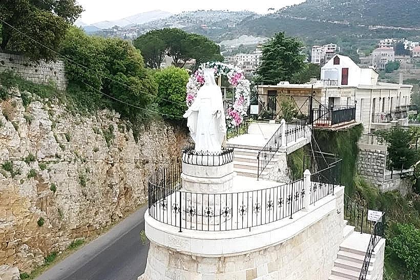
Lady of the Waterfall Shrine: 0.8km West
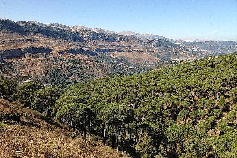
Bkassine Pine Forest: 4.8km Northwest
Niha Fort (Chakif Tiro): 8.8km Northeast
Our Lady of Machmoucheh Monastery: 6.2km North