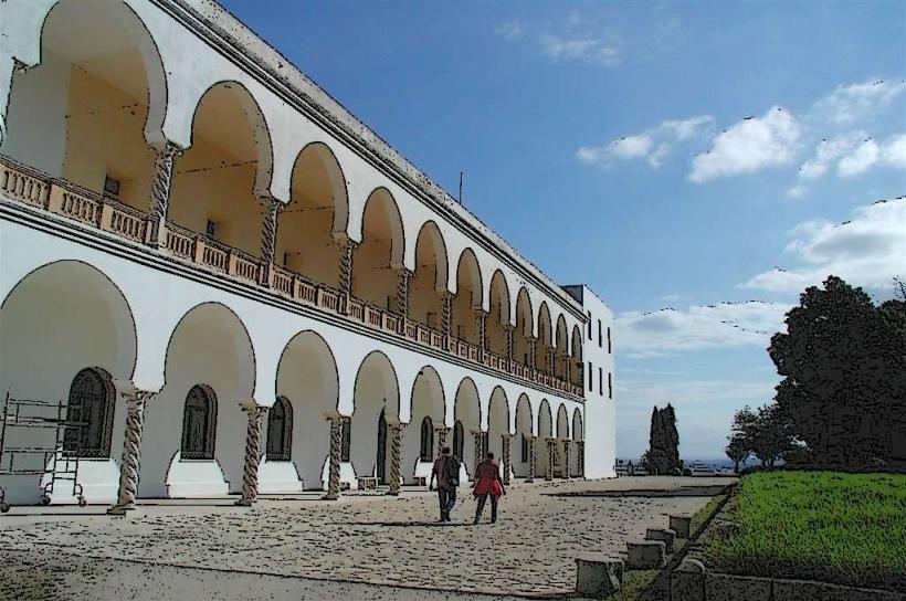
Landmark: Carthage Aqueduct
City: Carthage
Country: Tunisia
Continent: Africa
Carthage Aqueduct, Carthage, Tunisia, Africa
The Carthage Aqueduct is a Roman-era water conveyance system located in the vicinity of Carthage, Tunisia.
It was constructed to supply water to the ancient city.
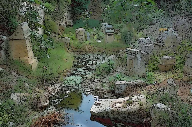
Visual Characteristics
The aqueduct is primarily constructed from large, roughly cut limestone blocks. Sections of the structure remain standing, exhibiting arched supports and remnants of the water channel. The visible portions vary in height, with some arches reaching approximately 10 meters. The architectural style is Roman engineering, characterized by robust, functional design.
Location & Access Logistics
The aqueduct is situated approximately 15 kilometers southwest of the modern city center of Tunis. Access is via the A3 highway, exiting towards the town of Borj El Amri. From Borj El Amri, local roads lead to the aqueduct site. Parking is available on unpaved areas adjacent to accessible sections. Public transport options are limited; the nearest train station is in Borj El Amri, requiring a further taxi or local bus connection.
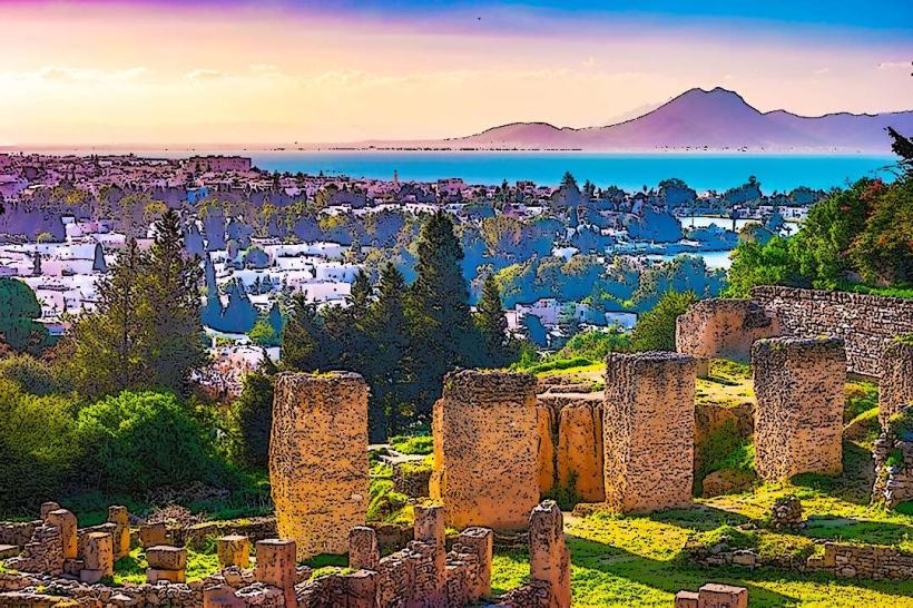
Historical & Ecological Origin
Construction of the aqueduct is attributed to the Roman period, likely initiated during the reign of Emperor Hadrian in the 2nd century CE. Its purpose was to transport fresh water from the Zaghouan springs, over 130 kilometers away, to the densely populated Roman city of Carthage. The system is an example of Roman hydraulic engineering, utilizing gravity to move water.
Key Highlights & Activities
Observation of the remaining arched structures. Walking along accessible sections of the aqueduct's path. Photography of the Roman engineering. Examination of the construction materials and techniques.
Infrastructure & Amenities
No formal infrastructure or amenities are present at the aqueduct site. Restrooms, shade, and food vendors are not available. Cell phone signal (4G/5G) is generally available in the surrounding rural areas but may be intermittent at specific points along the aqueduct's path.
Best Time to Visit
The best time for photography is during the early morning or late afternoon when the sun angle provides optimal lighting on the stone structures. The months of April to June and September to October offer moderate temperatures suitable for outdoor exploration. No tide considerations apply.
Facts & Legends
A notable aspect of the aqueduct's construction is its remarkable length and the engineering precision required to maintain a consistent gradient over such a distance, demonstrating advanced Roman surveying and construction capabilities.
Nearby Landmarks
- Carthage Archaeological Site (15km Northeast)
- Antonine Baths (16km Northeast)
- Punic Ports of Carthage (17km Northeast)
- Byrsa Hill (17km Northeast)
- Tunis Medina (18km Northeast)