Landmark: Coastal Plain
City: Caesarea
Country: Israel
Continent: Asia
Coastal Plain, Caesarea, Israel, Asia
The Coastal Plain of Israel is a primary geographic region extending along the Mediterranean Sea, stretching roughly 187km from the Lebanese border in the north to the Gaza Strip in the south. It serves as the country’s demographic and economic heartland, characterized by flat topography and fertile soils.
Visual Characteristics
The region is defined by low-lying, sandy shorelines, sandstone (kurkar) ridges, and alluvial plains. The landscape is a mosaic of dense urban skylines, such as Tel Aviv, and intensive agricultural zones featuring citrus groves and greenhouses. The coastline is interrupted by natural estuaries and occasional limestone cliffs, particularly at Rosh HaNikra in the north.
Geographic Subdivisions
The Coastal Plain is traditionally divided into three distinct sections based on geological and soil characteristics:
The Galilee Coastal Plain: The northernmost stretch, characterized by narrow strips of fertile land and rocky shorelines.
The Sharon Plain: The central region, historically known for its marshlands and heavy red (hamra) soil, now the most densely populated area.
The Southern Coastal Plain (Philistine Plain): A wider, more arid region with loess-based soils that transition into the northern Negev desert.
Historical & Ecological Origin
Geologically, the plain was formed by the accumulation of Nile River sediments transported northward by Mediterranean currents and the retreat of the sea over millions of years. This process created a series of parallel kurkar ridges. Historically, the "Via Maris" (Way of the Sea) passed through this region, making it a critical corridor for ancient trade and military expeditions between Egypt and Mesopotamia.
Key Highlights & Activities
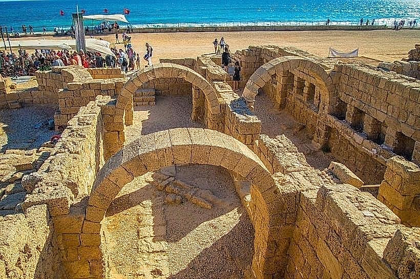
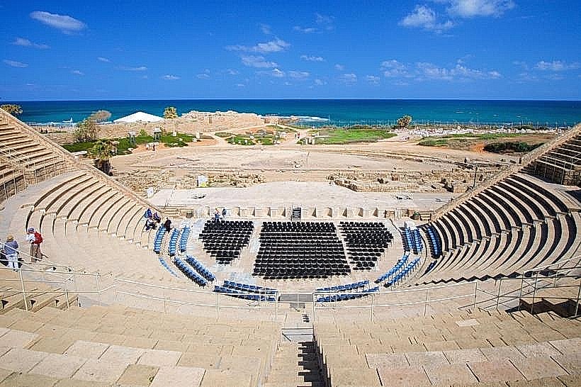
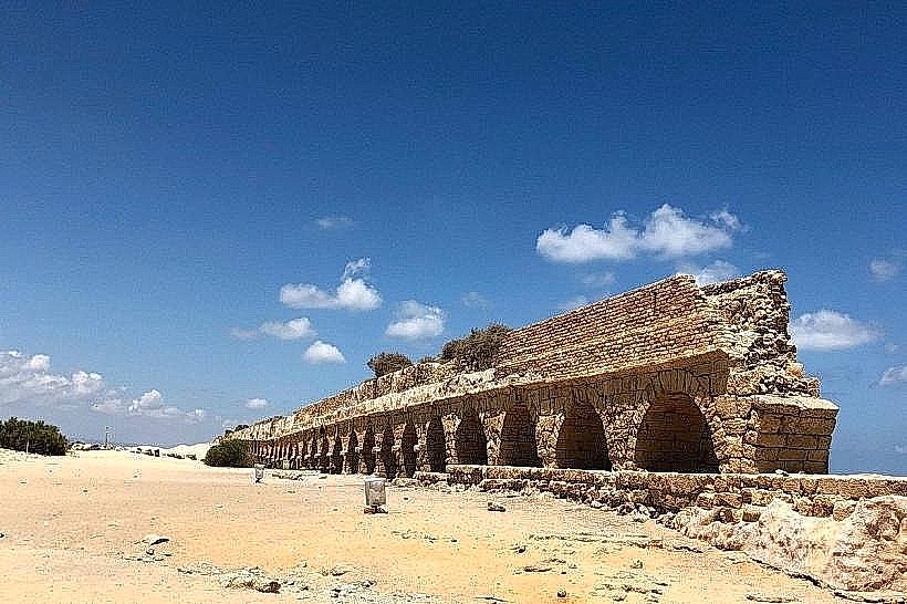
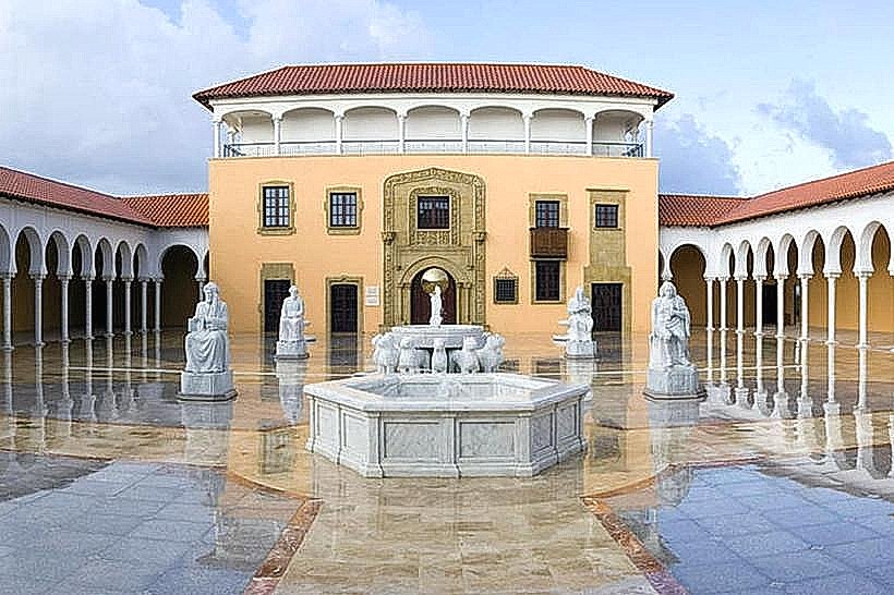
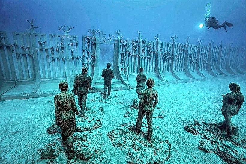
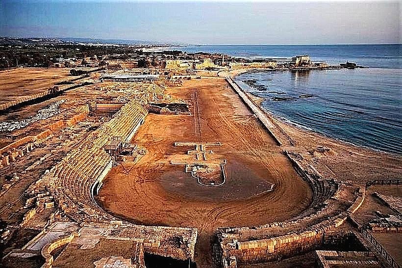
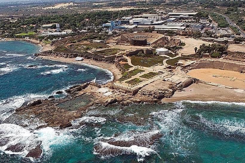
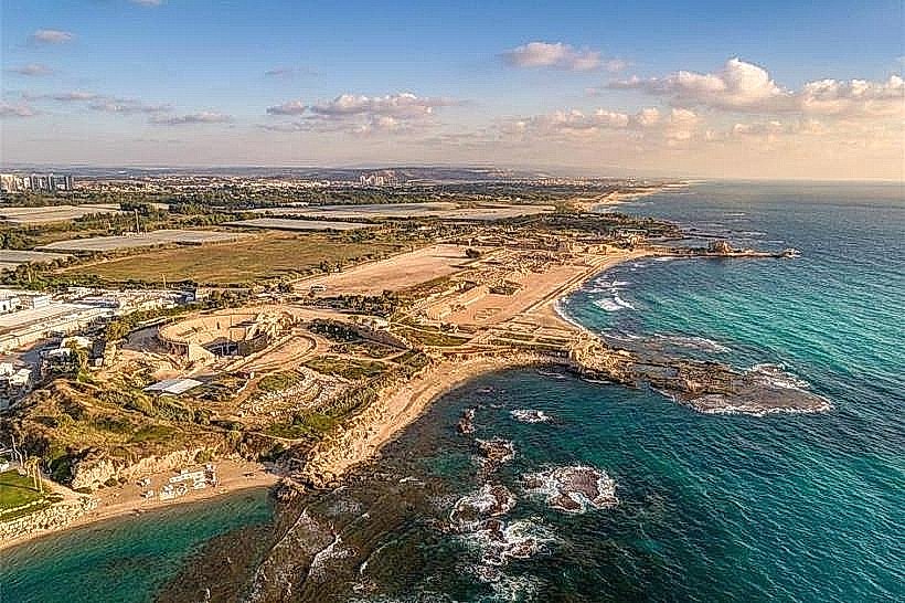
The region is the center of Israel's high-tech industry ("Silicon Wadi") and international commerce. Recreational activities are centered on the Mediterranean beaches, including surfing, sailing, and coastal hiking. Major national parks such as Caesarea, Apollonia, and Ashkelon preserve the ruins of ancient port cities that once dominated Mediterranean trade.
Infrastructure & Amenities
The Coastal Plain contains the majority of Israel's major infrastructure, including Ben Gurion International Airport, the ports of Haifa and Ashdod, and the main rail artery. It features a comprehensive network of highways (Highways 2, 4, and 6) and is fully serviced by 5G cellular coverage. Urban centers provide high-density amenities, including international-standard hospitals, universities, and shopping complexes.
Best Time to Visit
Spring (March–May) and Autumn (October–November) offer the most temperate climate for exploring the plains. During the summer, the region experiences high humidity, though the sea breeze provides some relief. Winter is the rainy season, bringing significant precipitation that turns the remaining open fields and nature reserves vibrant green.
Facts & Legends
The Coastal Plain contains the "White City" of Tel Aviv, a UNESCO World Heritage site recognized for its concentration of Bauhaus architecture. A local geographic fact is that over 70% of Israel’s population resides within this 15km-wide strip of land. Ancient legends, including the myth of Andromeda’s Rock in Jaffa, are rooted in the rocky outcrops found along this shoreline.
Nearby Landmarks
Tel Aviv Promenade: Central coast
Mount Carmel: Northern boundary
Jaffa Old City: Central coast
Yarkon Park: Central Sharon region
Alexander River: North-central Sharon region