Landmark: Golfo Dulce
City: Zona Sur
Country: Costa Rica
Continent: North America
Golfo Dulce, Zona Sur, Costa Rica, North America
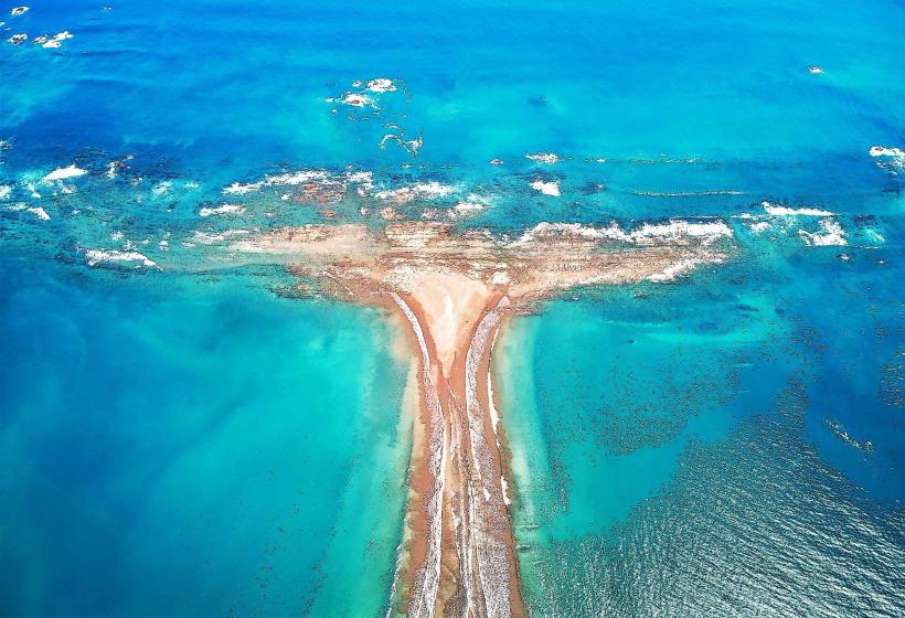
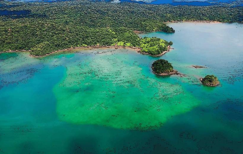
Golfo Dulce is a large tropical fjord located in the southern Pacific region of Costa Rica, within the Osa Peninsula.
Visual Characteristics
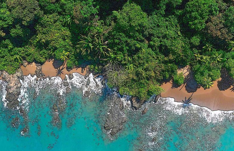
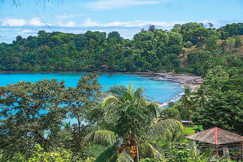
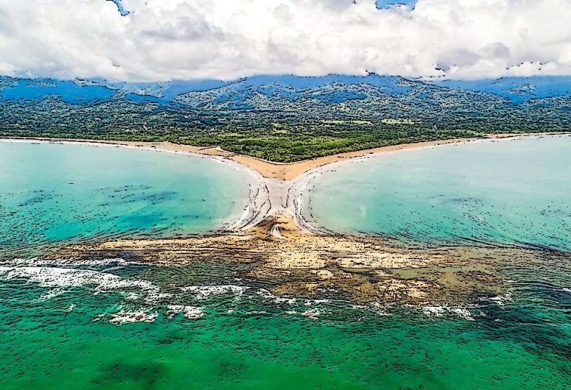
The gulf is characterized by its calm, warm waters, typically exhibiting a deep blue to greenish hue depending on depth and sediment load. Its coastline is fringed with dense tropical rainforest, featuring mangrove systems along shallower areas and steep, forested hillsides in other sections. The water depth varies, reaching up to 70 meters in its central channel.
Location & Access Logistics
Golfo Dulce is situated in the Zona Sur region of Costa Rica. Access is primarily via the Pan-American Highway (Route 2) to the town of Río Claro, then taking Route 237 towards Puerto Jiménez or Golfito. Puerto Jiménez is approximately 330 km southeast of San José. Parking is available in towns like Puerto Jiménez and Golfito. Public transport includes bus services from San José to Puerto Jiménez and Golfito. Water taxis and small ferries operate between various points along the gulf, connecting communities and lodges.
Historical & Ecological Origin
Golfo Dulce is a geological formation classified as a fjord, carved by glacial activity during past ice ages and subsequently inundated by rising sea levels. Ecologically, it is a vital marine ecosystem, recognized as one of the few large tropical fjords globally. It serves as a critical nursery ground for marine life, including humpback whales and dolphins.
Key Highlights & Activities
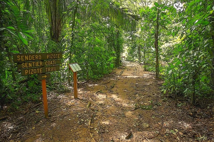
Activities include kayaking and paddleboarding in calm waters, dolphin and whale watching tours (seasonal), snorkeling and diving in designated areas, and exploring the surrounding rainforest trails. Fishing is permitted in specific zones. Boat tours offer access to remote beaches and mangrove exploration.
Infrastructure & Amenities
Basic infrastructure is present in the main towns of Puerto Jiménez and Golfito, including hotels, restaurants, and small shops. Limited cell phone signal (primarily 2G/3G) is available in these towns, with intermittent coverage elsewhere. Restrooms and shade are available at established tourist facilities and some public beaches. Food vendors are concentrated in the towns.
Best Time to Visit
The dry season, from December to April, offers the most consistent weather with less rainfall. The period from July to October is the green season, characterized by higher humidity and afternoon showers, but also lush vegetation. Humpback whale migrations are typically observed from August to October and again from December to March. High tide is generally preferred for water-based activities like kayaking and exploring mangrove channels.
Facts & Legends
Golfo Dulce is one of only four tropical fjords in the world. Local folklore speaks of ancient spirits guarding the gulf's marine life, with fishermen often leaving small offerings before setting out. A specific tip for visitors is to be aware of the strong tidal currents that can occur in certain narrow channels, especially around the mangrove areas.
Nearby Landmarks
- Corcovado National Park (Access points vary, approximately 10km West)
- Playa Pan Dulce (1.5km North)
- Osa Wildlife Sanctuary (2km South)
- Drake Bay (Accessible by boat, approximately 25km Northwest)
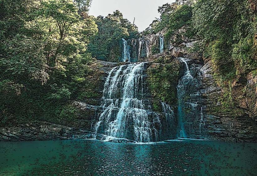
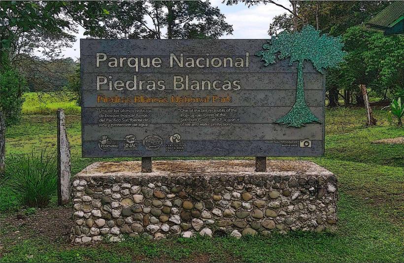
- Piedras Blancas National Park (15km East)