Landmark: San Gerardo de Dota
City: Zona Sur
Country: Costa Rica
Continent: North America
San Gerardo de Dota, Zona Sur, Costa Rica, North America
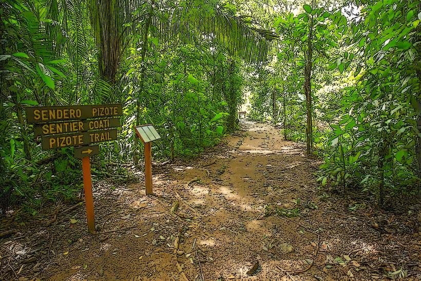
San Gerardo de Dota is a high-altitude valley located in the Talamanca Mountains of Costa Rica's Zona Sur region. It is primarily known for its cloud forest ecosystem and the Savegre River.
Visual Characteristics
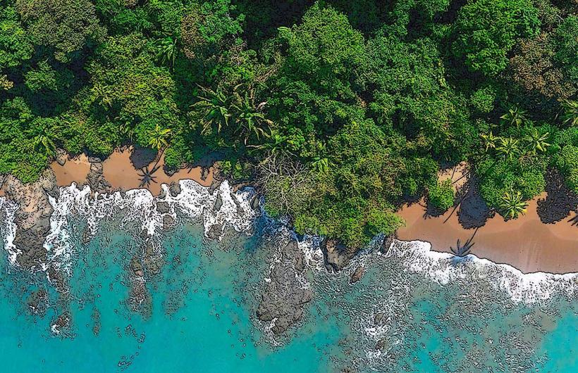
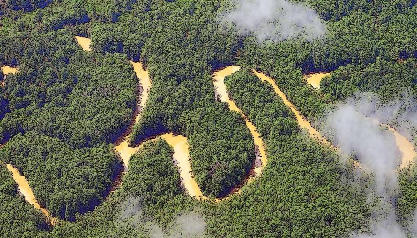
The valley floor is characterized by dense cloud forest vegetation, dominated by oak trees (Quercus spp.) and a thick understory of ferns, mosses, and epiphytes. The Savegre River, a clear, fast-flowing freshwater stream, runs through the valley. Elevations range from approximately 2,200 to 2,600 meters above sea level. The air is consistently cool and humid, with frequent mist and fog.
Location & Access Logistics
San Gerardo de Dota is situated approximately 70 kilometers south of San José. Access is via Route 2 (Carretera Interamericana Sur). From San José, travel south on Route 2 for approximately 50 kilometers. Take the exit for San Gerardo de Dota (marked by signs for the valley and the Savegre River). The road descending into the valley is paved but narrow and winding, with steep gradients. Parking is available at lodges and designated pull-offs along the main valley road. Public transport options are limited; the most common method involves taking a bus from San José to San Isidro de El General and then arranging a taxi or pre-booked shuttle for the final 20-kilometer stretch into the valley.
Historical & Ecological Origin
The valley's ecological origin is a high-altitude cloud forest, a biome characterized by persistent low-level cloud cover, high humidity, and moderate temperatures. This specific region is part of the Talamanca Mountain Range, a geologically ancient formation. Historically, the area was sparsely populated and primarily used for subsistence agriculture by indigenous groups. Modern settlement and tourism development began in the mid-20th century, focusing on ecotourism and birdwatching.
Key Highlights & Activities
Birdwatching is the primary activity, with a focus on spotting the Resplendent Quetzal (Pharomachrus mocinno). Hiking trails are available, including routes along the Savegre River and into the surrounding forest. Trout fishing is permitted in designated areas of the Savegre River. Photography of flora and fauna is a common pursuit.
Infrastructure & Amenities
Lodging options consist of eco-lodges and small hotels, many offering on-site dining. Restrooms are available at most lodges and some trailheads. Shade is abundant due to the dense forest canopy. Cell phone signal (4G/5G) is intermittent and generally weak throughout the valley. Food vendors are not present; dining is typically at accommodation facilities.
Best Time to Visit
The best time for birdwatching, particularly for the Resplendent Quetzal, is during the nesting season, which generally runs from March to June. The dry season, from December to April, offers clearer skies and less rain. The best time of day for photography is early morning (6:00 AM - 9:00 AM) when light filters through the mist and fog, and late afternoon (4:00 PM - 6:00 PM). High tide is not a relevant factor for this inland location.
Facts & Legends
The Savegre River is one of Costa Rica's longest and cleanest rivers, flowing from the Talamanca Mountains to the Pacific Ocean. Local lore suggests that the valley's isolation has preserved its unique biodiversity, making it a sanctuary for species that have disappeared from more accessible regions.
Nearby Landmarks
- Cerro Chirripó National Park (25km Southwest)
- San Isidro de El General (20km Southeast)
- Los Quetzales National Park (5km Northwest)
- Laguna de la Laja (15km East)