Landmark: Sierpe Mangroves
City: Zona Sur
Country: Costa Rica
Continent: North America
Sierpe Mangroves, Zona Sur, Costa Rica, North America
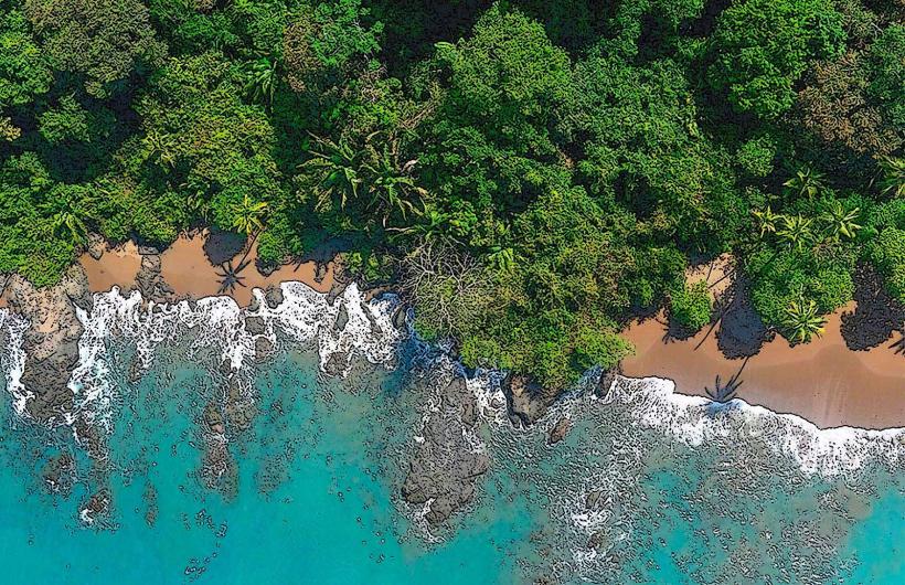
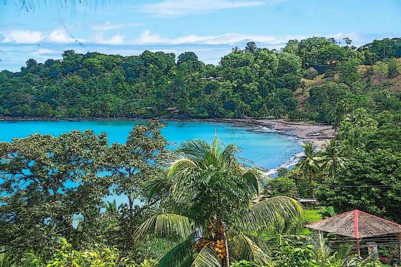
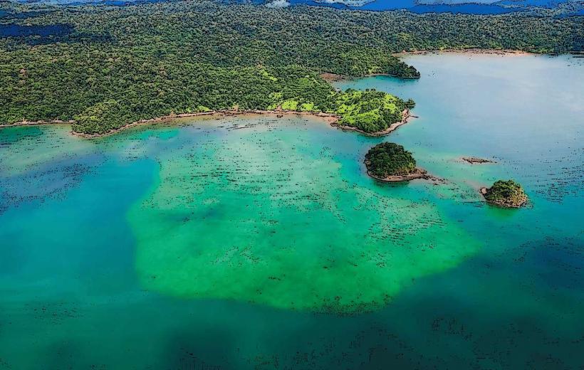
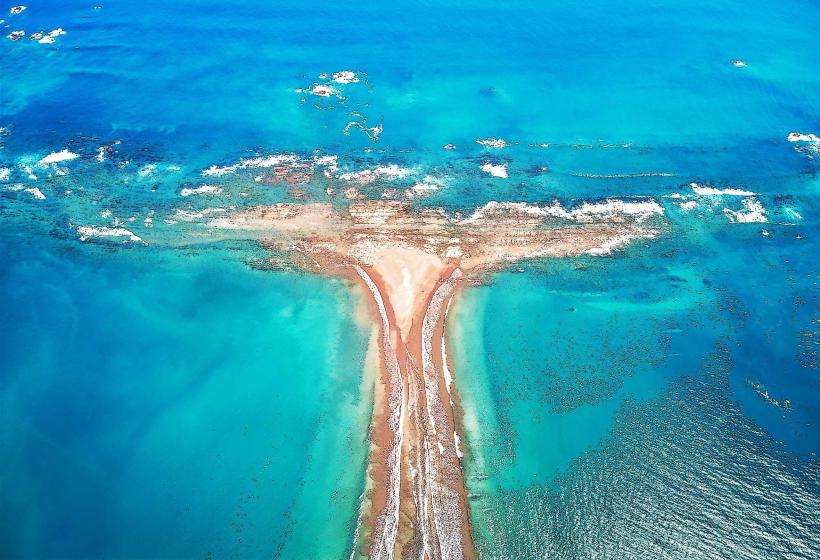
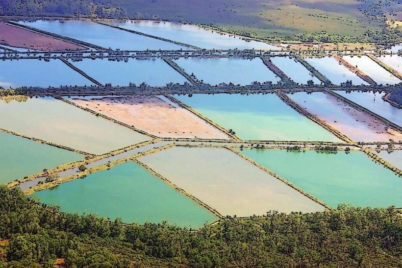
The Sierpe Mangroves are an extensive coastal wetland system located in the Osa Peninsula region of Costa Rica's Zona Sur.
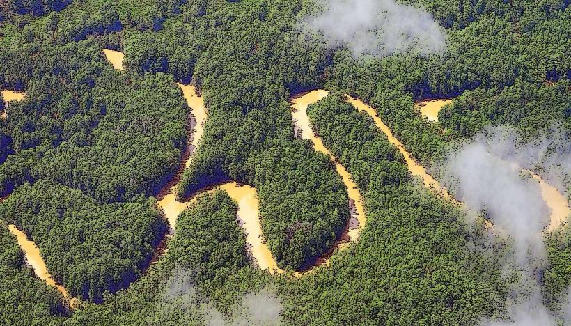
This area comprises one of the largest mangrove forests in Central America, characterized by a complex network of rivers, esteros, and channels.
Visual Characteristics
The dominant vegetation consists of red, black, white, and piñuela mangrove species. The water within the esteros ranges from brackish to saline, varying with tidal influence. Dense foliage creates a canopy overhead in many sections, with exposed root systems visible along the water's edge. The terrain is predominantly flat and waterlogged.
Location & Access Logistics
The Sierpe Mangroves are situated approximately 300 kilometers south of San José, the capital city. Access is primarily via the Costanera Sur Highway (Route 34) to the town of Sierpe. From Sierpe, boat transportation is the sole method of entering the mangrove system. Public bus services operate from San José to Sierpe. Parking is available in Sierpe town, with fees typically charged by private lots.
Historical & Ecological Origin
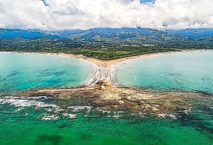
The Sierpe Mangroves are a natural geological formation, classified as a tropical estuarine ecosystem. Their development is a result of sediment deposition from the Sierpe River meeting the Pacific Ocean, creating ideal conditions for mangrove colonization. These forests have existed for millennia, evolving with the coastal dynamics of the region.
Key Highlights & Activities
Boat tours through the esteros are the primary activity. Wildlife observation, including various bird species, reptiles, and mammals, is a key focus. Kayaking is possible in designated areas. Fishing is permitted under local regulations.
Infrastructure & Amenities
Basic amenities are available in the town of Sierpe, including restaurants and small shops. Within the mangrove system itself, infrastructure is minimal, consisting mainly of small docks for boat transfers. Cell phone signal is intermittent to non-existent within the denser mangrove areas. Restrooms are generally available at tour operator departure points in Sierpe.
Best Time to Visit
The dry season, from December to April, offers more predictable weather. The best time of day for wildlife viewing is typically early morning or late afternoon when animals are most active. Tidal charts should be consulted, as water levels affect boat access and the visibility of certain wildlife.
Facts & Legends
The Sierpe River is one of Costa Rica's longest rivers, and its delta is the primary source of freshwater that sustains the vast mangrove ecosystem. Local folklore speaks of ancient spirits inhabiting the deeper channels, though these are unverified accounts.
Nearby Landmarks
- Corcovado National Park (15km Southwest)
- Drake Bay (20km Southwest)
- Marino Ballena National Park (40km Northwest)
- Palmar Sur Archaeological Site (10km Northeast)