Landmark: Nusa Penida
City: Bali
Country: Indonesia
Continent: Asia
Nusa Penida, Bali, Indonesia, Asia
Nusa Penida is an island located southeast of Bali, Indonesia. It is the largest of the three Nusa Islands, situated in the Badung Strait.
Visual Characteristics
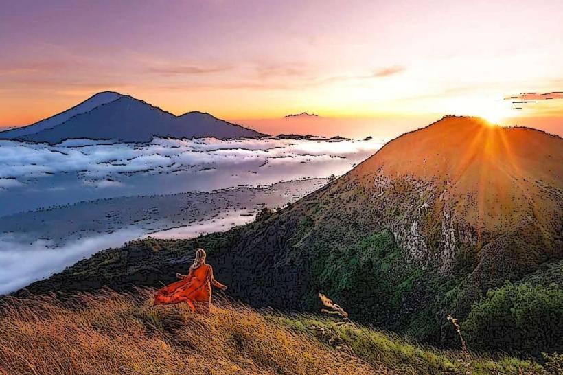
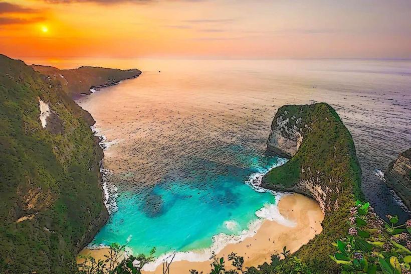
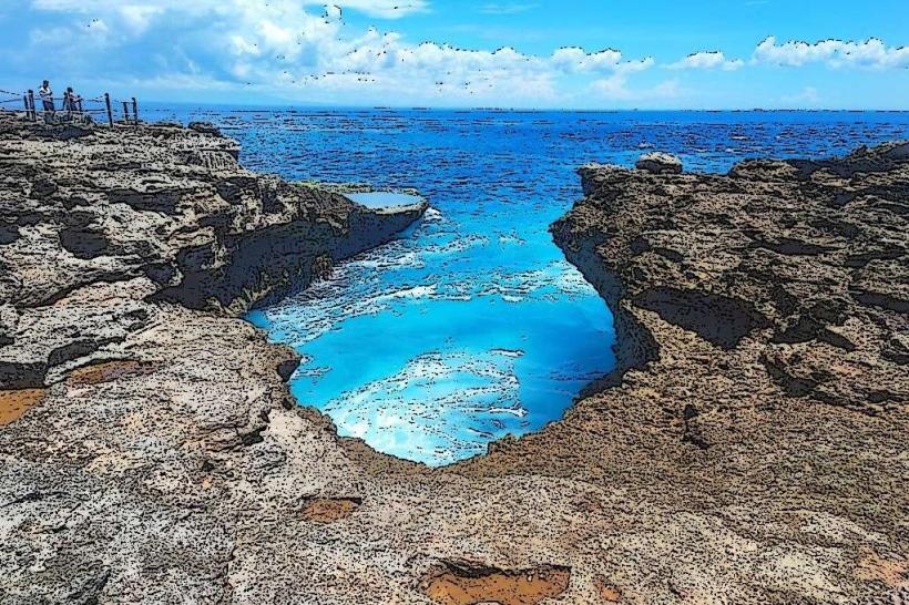
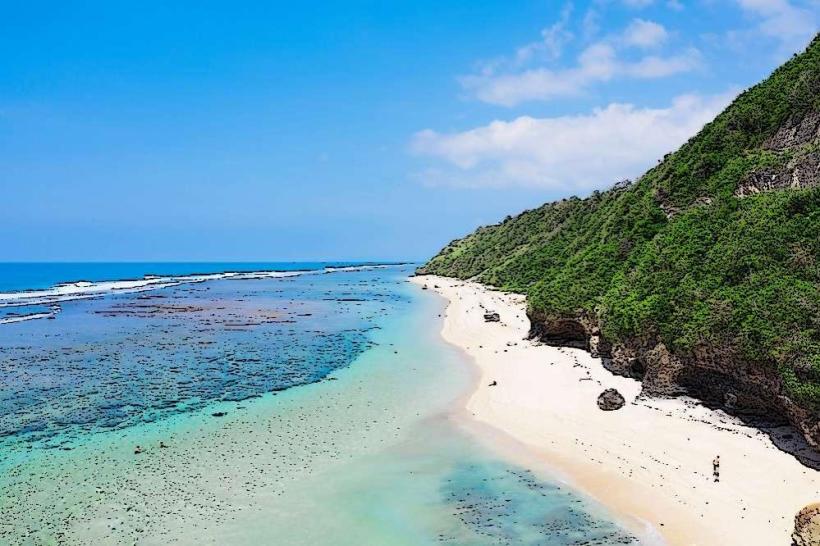
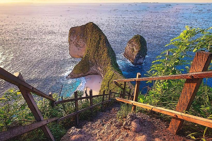
The island features dramatic limestone cliffs that drop to the sea. Coastlines are characterized by white sand beaches and rocky outcrops. Inland, vegetation is predominantly dry scrub and sparse trees, with some areas of rice paddies. The ocean surrounding the island exhibits a deep blue hue, transitioning to turquoise closer to shore.
Location & Access Logistics
Nusa Penida is accessible via ferry and speedboat services from mainland Bali. The primary departure points in Bali are Sanur (approximately 1 hour by speedboat) and Padang Bai (approximately 45 minutes by ferry). From the island's main ports, Toya Pakeh and Banjar Nyuh, local transport typically involves renting motorbikes or hiring car services. Public transport is limited. Parking is available at the ferry terminals in Bali and at the arrival points on Nusa Penida, though it can be congested during peak hours.
Historical & Ecological Origin
Nusa Penida's geological origin is primarily limestone, formed from ancient marine organisms. The island's dramatic cliffs are a result of tectonic uplift and erosion. Ecologically, it is part of the Coral Triangle, supporting diverse marine life. Historically, the island was known for its isolation and was used as a penal colony by the Dutch colonial administration in the early 20th century.
Key Highlights & Activities
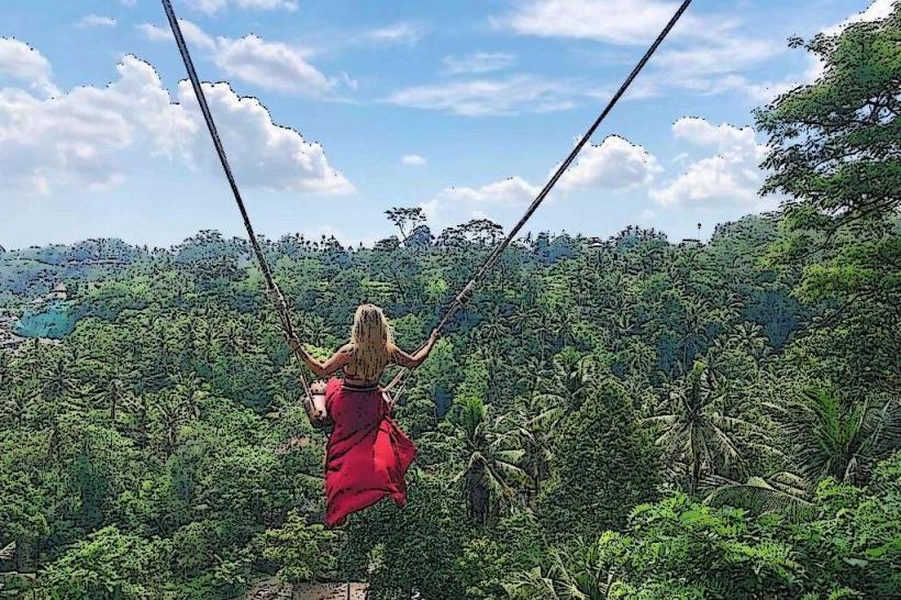
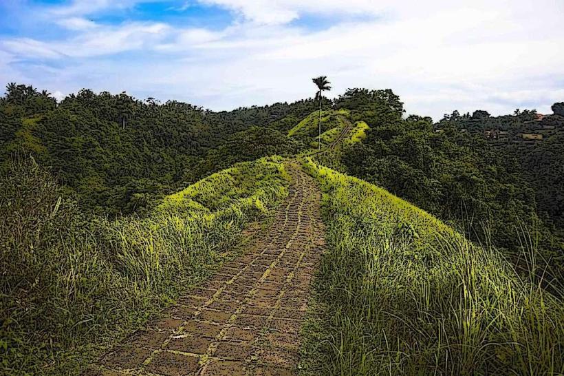
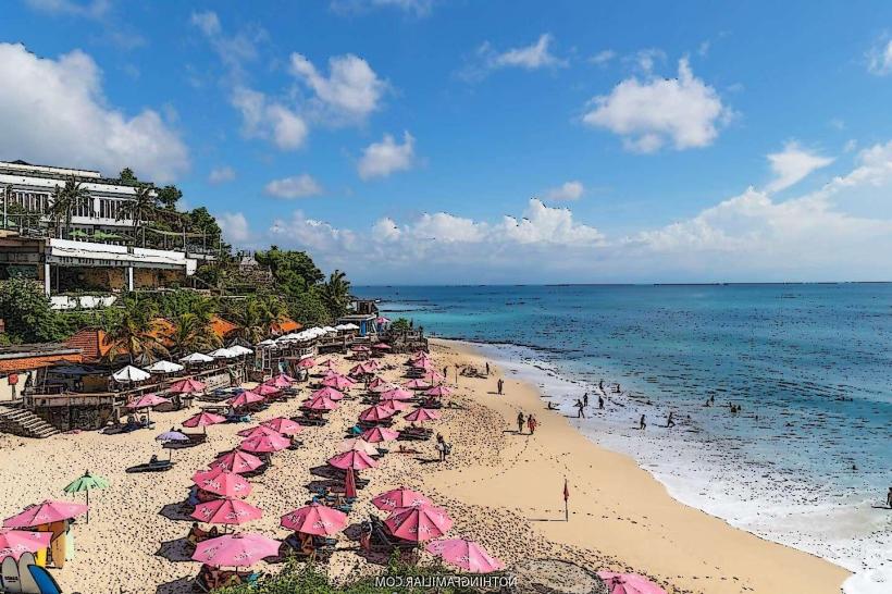
Activities include visiting Kelingking Beach, known for its T-Rex-shaped cliff formation. Diamond Beach and Atuh Beach offer opportunities for swimming and sunbathing. Snorkeling and diving are popular at Manta Point, Crystal Bay, and Gamat Bay, particularly for observing manta rays and sunfish (Mola Mola) during their season. Hiking to viewpoints like Teletubbies Hill is also common.
Infrastructure & Amenities
Basic infrastructure is present, including small guesthouses and warungs (local eateries). Restrooms are available at popular tourist sites and ports, but can be rudimentary. Shade is limited at many beach locations, with natural shade provided by sparse trees. Cell phone signal (4G) is generally available in populated areas and along main roads, but can be intermittent in remote locations.
Best Time to Visit
The dry season, from April to September, offers the most favorable weather conditions with less rainfall and calmer seas. The best time of day for photography at Kelingking Beach is typically in the morning, between 8:00 AM and 10:00 AM, for optimal lighting on the cliffs. Manta ray sightings are more frequent during the dry season.
Facts & Legends
Nusa Penida is traditionally considered a sacred island in Balinese Hinduism, often associated with spirits and powerful deities. Local lore suggests that the island is guarded by the spirits of the island's ancestors. A specific tip for visitors is to be aware of the strong currents when swimming at beaches like Crystal Bay.
Nearby Landmarks
- 0.8km West: Toya Pakeh Harbour
- 1.5km South: Crystal Bay
- 3.2km East: Gamat Bay
- 4.1km Southeast: Diamond Beach
- 4.5km East: Atuh Beach