Information
Landmark: Isla IsabelaCity: Galapagos Islands
Country: Ecuador
Continent: South America
Isla Isabela, Galapagos Islands, Ecuador, South America
Isla Isabela is the largest island in the Galapagos Archipelago, located in the Pacific Ocean, approximately 1,000 kilometers west of mainland Ecuador.
Visual Characteristics
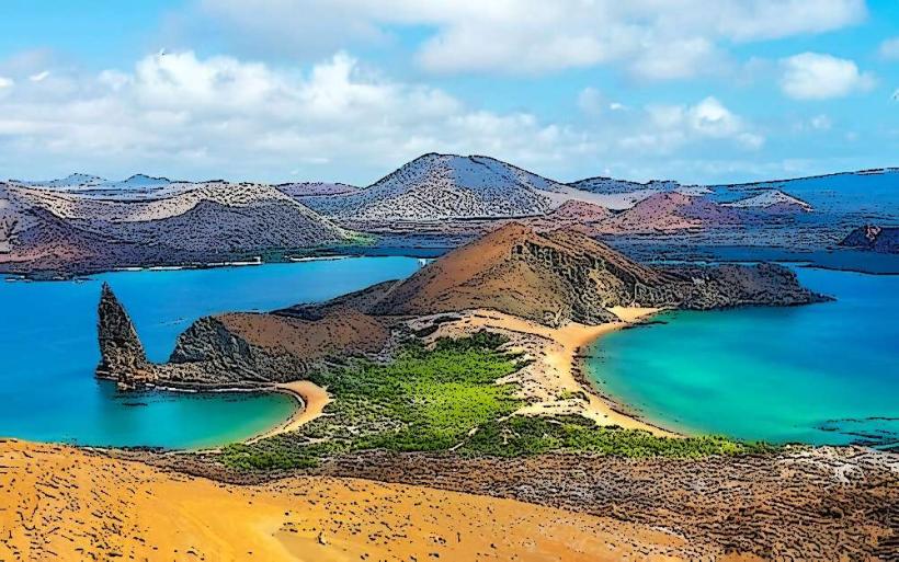
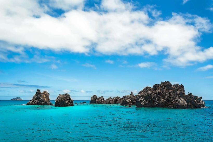
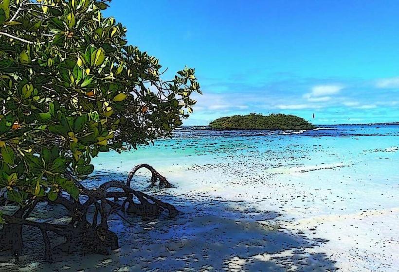
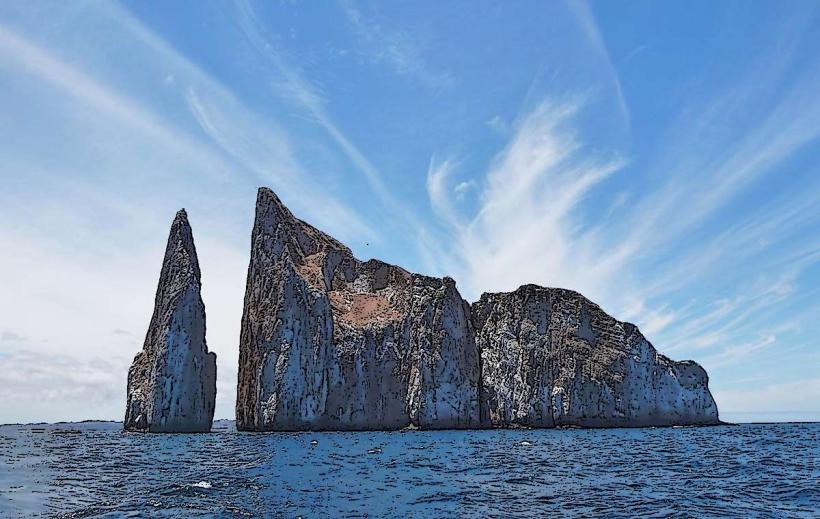
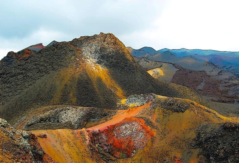
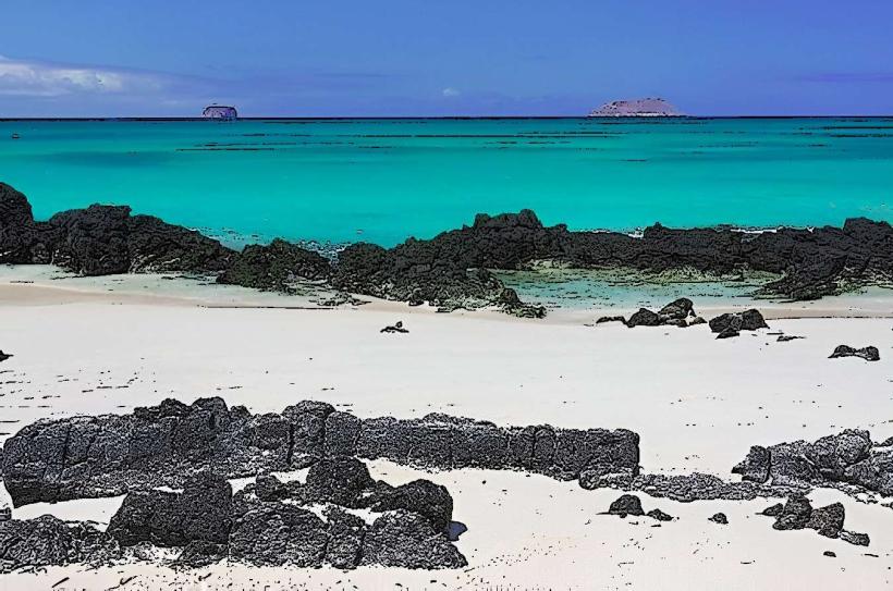
The island is characterized by its volcanic origins, featuring six shield volcanoes, three of which are currently active. Its coastline is a mix of black lava rock, white sandy beaches, and mangrove forests. Inland, vegetation varies from arid scrubland to humid highlands supporting Scalesia forests. The island's shape is a rough horseshoe, enclosing a large bay known as Bahía Elizabeth.
Location & Access Logistics
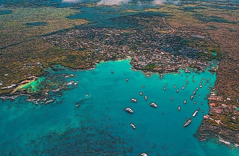
Isla Isabela is situated in the western part of the Galapagos Islands. Access is primarily via boat from Santa Cruz Island. The ferry journey takes approximately 2 to 2.5 hours. There is no airport on Isla Isabela; all visitors arrive by sea. Within Puerto Villamil, the main settlement, transportation options include walking, bicycles, and taxis (pickup trucks). There is no public bus system on the island.
Historical & Ecological Origin
Isla Isabela is a geologically young island, formed by the convergence of at least five volcanoes. Its formation is a direct result of the Galapagos hotspot. The island's ecological origin is tied to its volcanic activity, which has shaped its unique flora and fauna, including endemic species that have evolved in isolation. The island was named in honor of Queen Isabella I of Castile.
Key Highlights & Activities
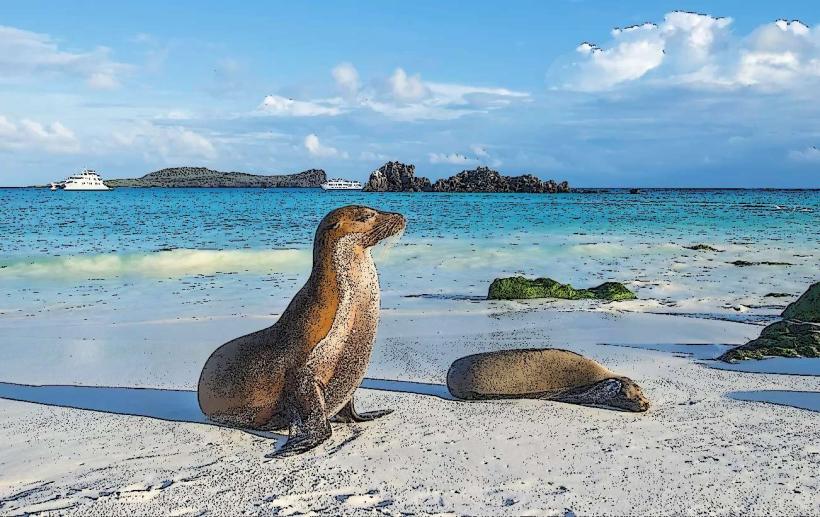
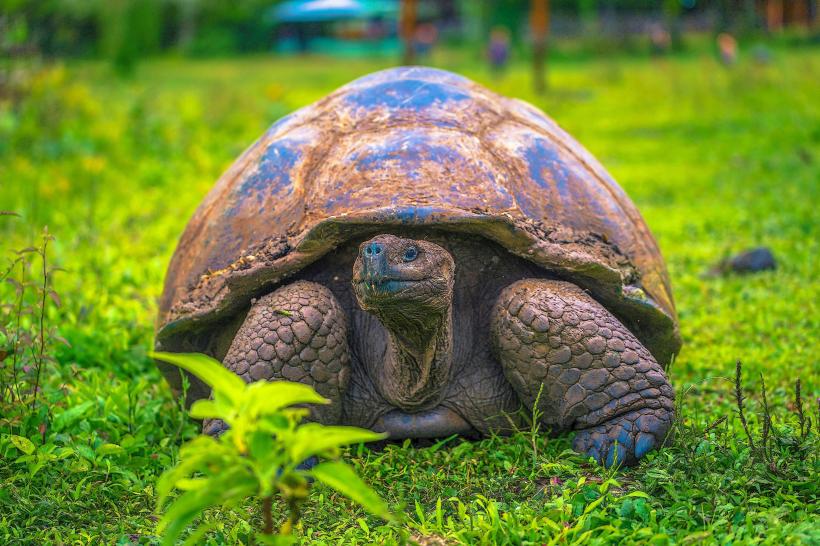
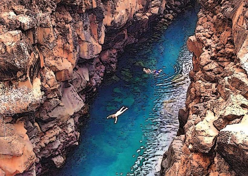
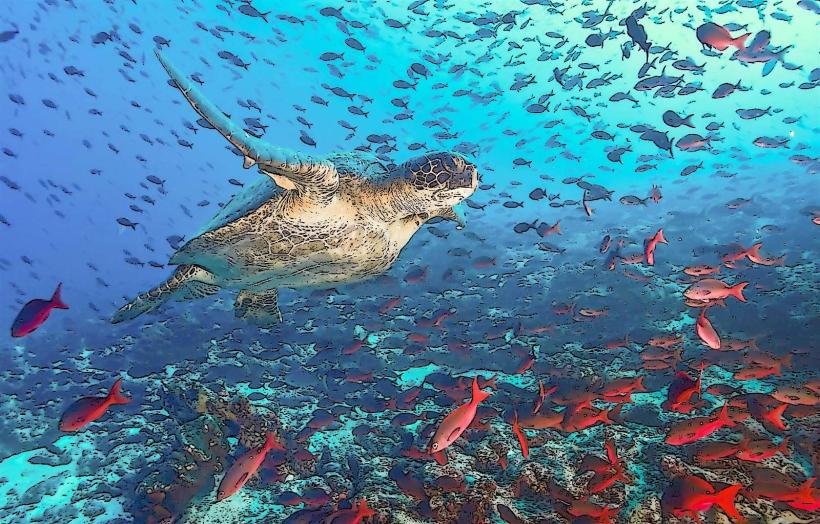
Activities include snorkeling and diving at Los Tuneles, observing giant tortoises at the Arnaldo Tupiza Breeding Center, hiking to Sierra Negra Volcano crater, and exploring the Tintoreras islet to see marine iguanas and penguins. Boat tours are available to observe marine life such as sea lions, dolphins, and whales. Kayaking in Bahía Elizabeth is also possible.
Infrastructure & Amenities
Puerto Villamil offers basic infrastructure. Restrooms are available at tourist sites and within the town. Shade is provided by natural vegetation and some man-made structures in Puerto Villamil. Cell phone signal (4G) is generally available in Puerto Villamil but can be intermittent in more remote areas. Limited food vendors and small restaurants are located in Puerto Villamil.
Best Time to Visit
The best time for wildlife viewing is generally from June to November, which is the cooler, drier season with plankton blooms attracting more marine life. For hiking, the drier months (December to May) offer more comfortable conditions. High tide is generally preferred for exploring mangrove areas by kayak.
Facts & Legends
A unique geological feature is the "Wall of Tears," a historical site constructed by prisoners in the 1940s and 1950s. The island's volcanic activity is ongoing, with eruptions from Sierra Negra and Fernandina (adjacent to Isabela) shaping the landscape.
Nearby Landmarks
- Fernandina Island (0.5km West)
- Santa Cruz Island (45km East)
- Floreana Island (60km Southeast)
- San Cristobal Island (100km East)