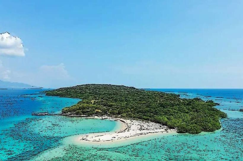
Landmark: Menjangan Island
City: Bali
Country: Indonesia
Continent: Asia
Menjangan Island, Bali, Indonesia, Asia
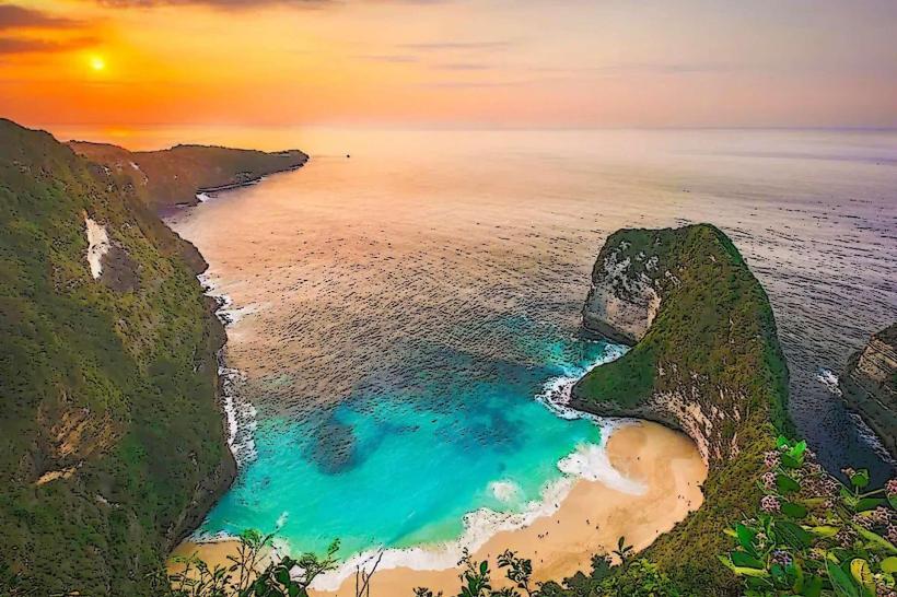
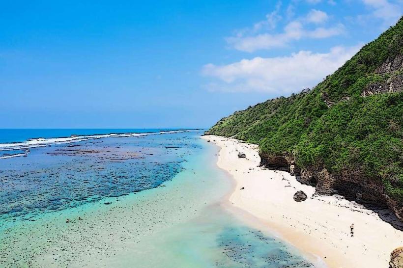
Menjangan Island is a small island located off the northwest coast of Bali, Indonesia. It is part of the West Bali National Park.
Visual Characteristics
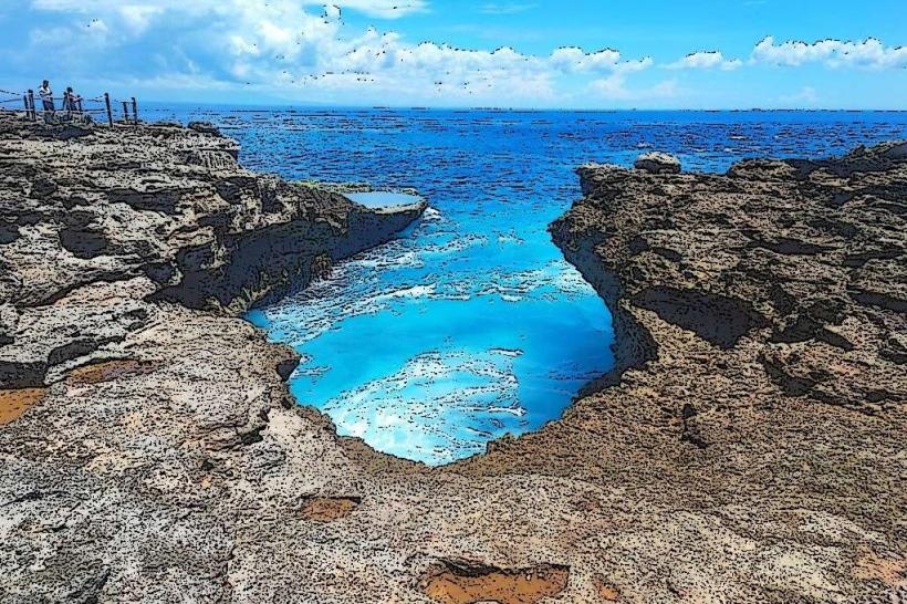
The island features a coastline composed of limestone cliffs and small, rocky beaches. The waters surrounding Menjangan are characterized by clear, turquoise visibility, supporting extensive coral reefs. Inland vegetation is sparse, consisting primarily of dry scrub and low-lying trees.
Location & Access Logistics
Menjangan Island is situated approximately 10 kilometers west of the mainland town of Pemuteran. Access is exclusively by boat. Chartered speedboats or traditional jukung boats can be hired from Pemuteran harbor. The journey takes approximately 30-45 minutes. There is no public transport directly to the island. Parking is available at Pemuteran harbor.
Historical & Ecological Origin
Menjangan Island is a geological formation of uplifted coral reef limestone. Its ecological significance lies in its status as a protected marine area within the West Bali National Park, established to conserve its rich biodiversity.
Key Highlights & Activities
Snorkeling and diving are the primary activities, with numerous reef sites accessible from the shore and by boat. The "Anker Wreck" dive site is located nearby. Hiking is permitted on designated trails on the island. Birdwatching is also a notable activity due to the island's role as a migratory stopover.
Infrastructure & Amenities
Basic facilities are limited to designated rest areas with some shade structures. Restrooms are available at the park ranger station on the island. Cell phone signal is generally unreliable. Food vendors are not present on the island; visitors must bring their own provisions.
Best Time to Visit
The dry season, from April to October, offers the most favorable weather conditions. Visibility for diving and snorkeling is typically best in the morning before wind conditions can affect the water. High tide is generally preferred for accessing certain shallow reef areas.
Facts & Legends
The island's name, "Menjangan," translates to "Deer" in Indonesian. This refers to the wild deer that historically swam to the island from the mainland to graze. A specific tip for visitors is to check the tide charts before arranging boat transport, as extremely low tides can make some reef access points difficult.
Nearby Landmarks
- West Bali National Park (0.5km West)
- Pulau Kalong (Bat Island) (2km Southeast)
- Pemuteran Beach (8km East)
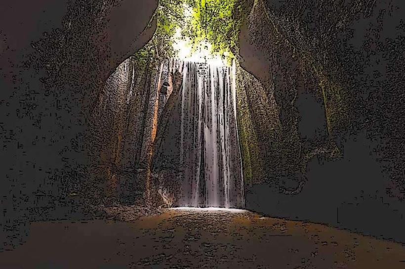
- Banyumala Twin Waterfalls (15km Southeast)
- Lovina Beach (35km East)