Landmark: Mount Agung
City: Bali
Country: Indonesia
Continent: Asia
Mount Agung, Bali, Indonesia, Asia
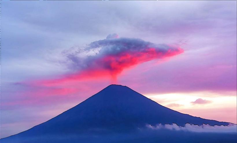
Mount Agung is an active stratovolcano located on the island of Bali, Indonesia. It is the highest point on the island and a significant cultural and spiritual site.
Visual Characteristics
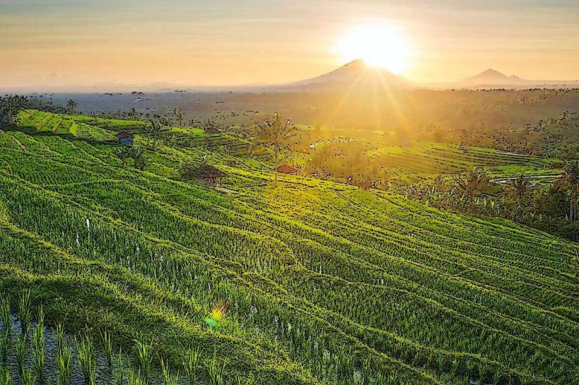
Mount Agung is a conical volcano with a summit elevation of 3,142 meters (10,308 feet). Its slopes are covered in dense tropical vegetation, transitioning to bare volcanic rock and scree near the summit crater. The crater rim is approximately 800 meters (0.5 miles) in diameter.
Location & Access Logistics
The volcano is situated in the Karangasem Regency in eastern Bali. Access to the base of the mountain is via local roads from the town of Amlapura. The nearest major airport is Ngurah Rai International Airport (DPS) in Denpasar, approximately 70 kilometers (43 miles) southwest. Public transport to the mountain base is limited; private car hire or taxi is the most common method. Parking is available at designated trailheads, such as the Pura Besakih route.
Historical & Ecological Origin
Mount Agung is part of the Sunda Arc, a volcanic arc formed by the subduction of the Indo-Australian Plate beneath the Eurasian Plate. Its formation is a result of ongoing volcanic activity. The last major eruption occurred in 2017-2019, with significant ash plumes and lava flows.
Key Highlights & Activities
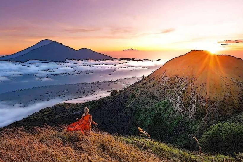
The primary activity is trekking to the summit. Two main routes are commonly used: the Pura Besakih trail, which is longer but less steep, and the Pura Pasar Agung trail, which is shorter and steeper. Sunrise treks are popular. Observing the volcanic crater and surrounding landscape from the summit is a key highlight.
Infrastructure & Amenities
Basic facilities, including small warungs (local eateries) and simple restrooms, are available at the base of the popular trekking routes. Cell phone signal can be intermittent, especially at higher elevations. There are no formal amenities on the summit itself.
Best Time to Visit
The dry season, from April to September, offers the most favorable conditions for trekking, with less rainfall and clearer skies. Sunrise treks are recommended for optimal lighting and cooler temperatures. The best time of day for photography is generally during the early morning hours.
Facts & Legends
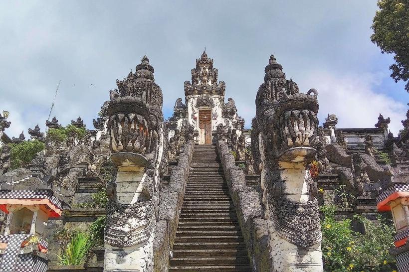
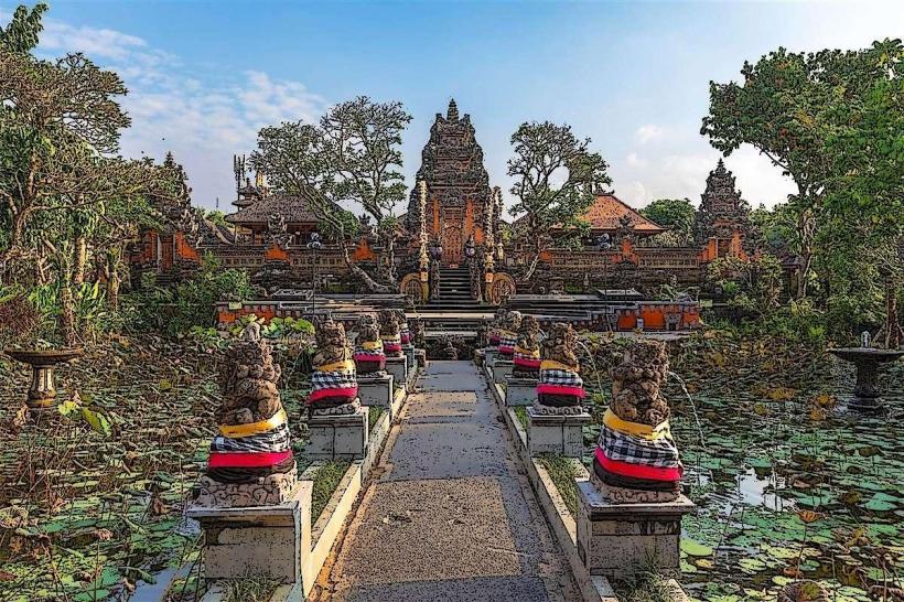
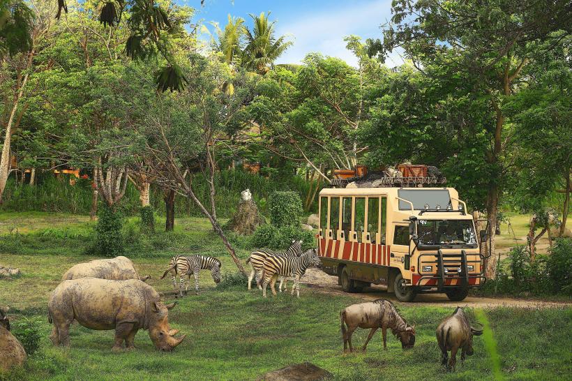
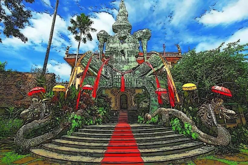
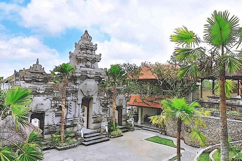
Mount Agung is considered the spiritual center of Bali. Local belief holds that the mountain is the abode of the gods. The Pura Besakih Temple complex, the largest and holiest temple in Bali, is situated on its slopes. It is believed that an eruption of Mount Agung is a sign of imbalance in the universe.
Nearby Landmarks
- Pura Besakih Temple (0.8km West)
- Tirta Gangga Water Palace (10km Southwest)
- Amed Coastline (15km Northeast)
- Mount Batur (35km Northwest)
- Ubud Monkey Forest (45km Southwest)