Landmark: North Tel Aviv
City: Tel Aviv
Country: Israel
Continent: Asia
North Tel Aviv, Tel Aviv, Israel, Asia
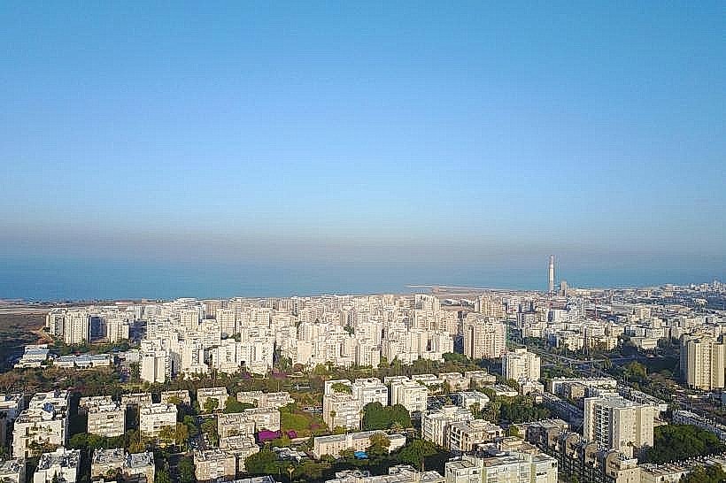
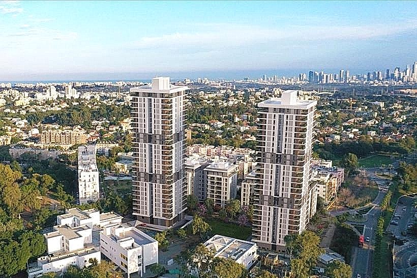
North Tel Aviv is a distinct residential and cultural region of the city, characterized by its affluent neighborhoods, expansive green spaces, and high-end infrastructure. It is geographically separated from the city center by the Yarkon River and includes both historical residential districts and modern high-rise developments.
Visual Characteristics
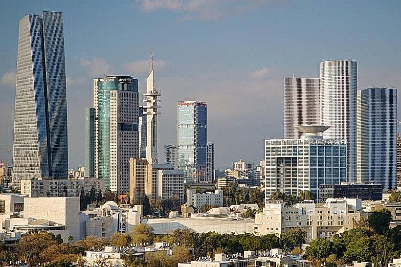
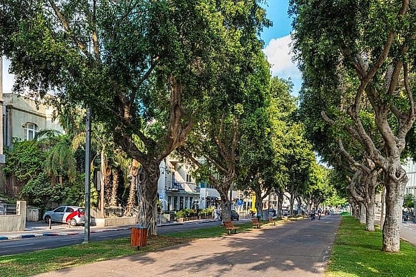
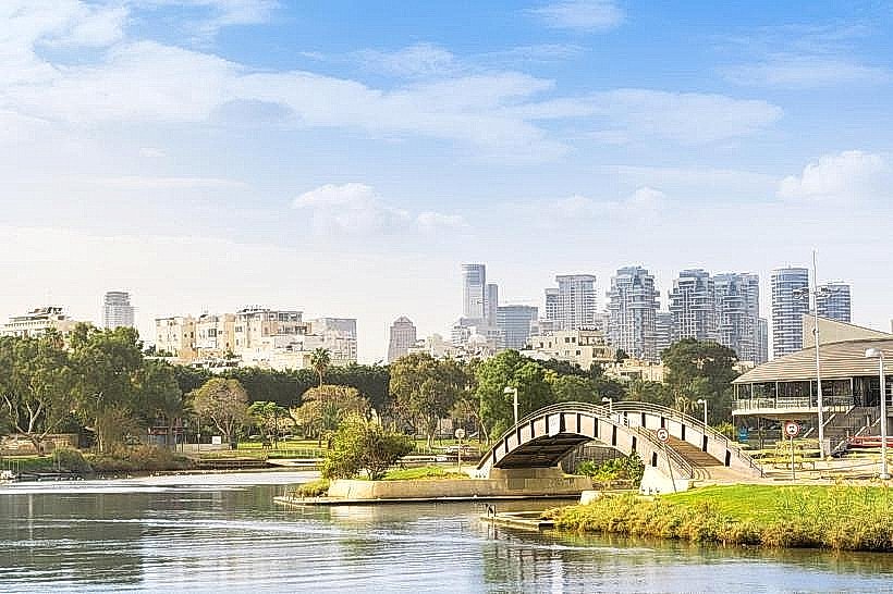
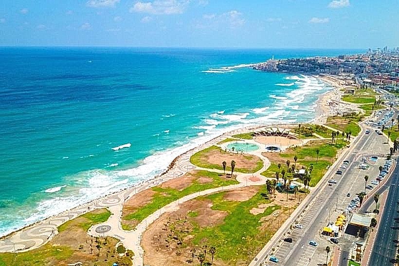
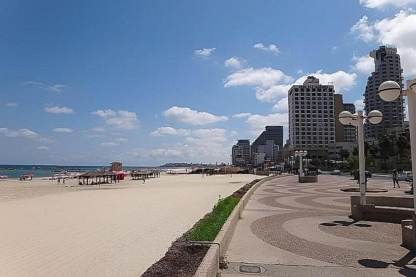
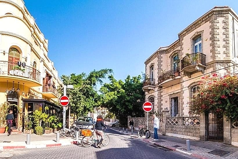
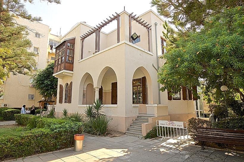
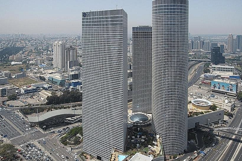
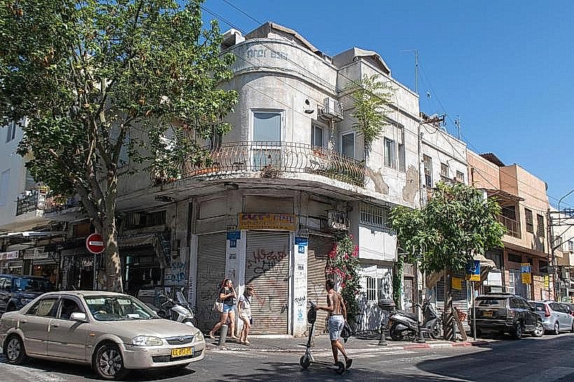
The area is defined by wide, tree-lined boulevards and a high concentration of Bauhaus-influenced and Modernist architecture in the older sections, transitioning into glass-and-steel skyscrapers near the coast and the northern business districts. The region features numerous large-scale public parks, specifically the Yarkon Park (Ganei Yehoshua), which creates a significant green buffer between the northern and central parts of the city.
Location & Access Logistics
North Tel Aviv extends from the Yarkon River in the south to the municipal boundary with Herzliya in the north. Primary vehicle arteries include the Namir Road (Route 2) and the Ayalon Highway (Route 20). Public transport is robust, with the Tel Aviv University and Tel Aviv Savidor Central railway stations providing national rail links. Numerous Dan and Egged bus lines serve the internal neighborhoods, and the Tel Aviv Light Rail (Red Line) provides access to the southern edges of the district.
Historical & Ecological Origin
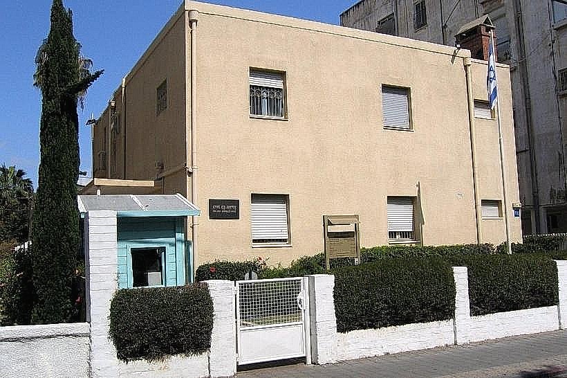
Large portions of North Tel Aviv were developed after the 1948 establishment of the State, primarily on kurkar (sandstone) ridges and former agricultural land. The region’s ecology is influenced by its proximity to the Mediterranean Sea and the Yarkon River, with sandy soil and coastal vegetation dominating the natural landscape. Neighborhoods like Ramat Aviv and Afeka were established to accommodate the city’s rapid post-independence expansion.
Key Highlights & Activities
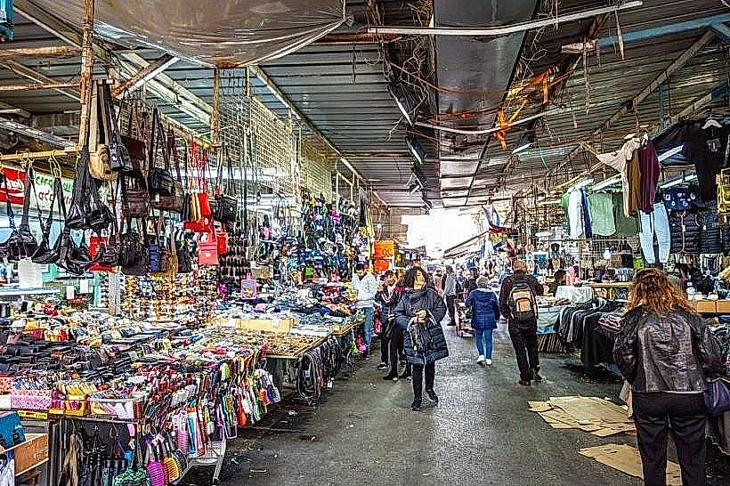
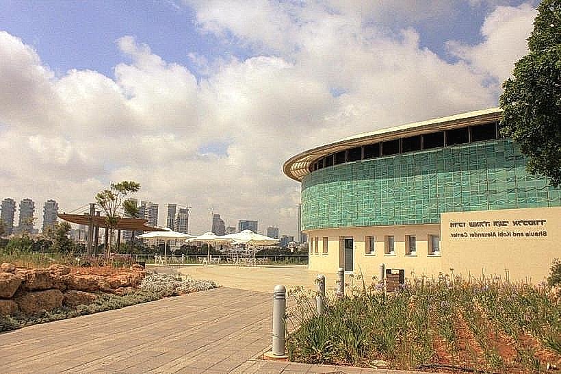
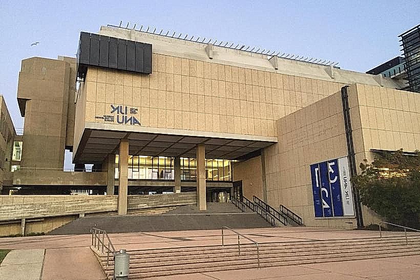
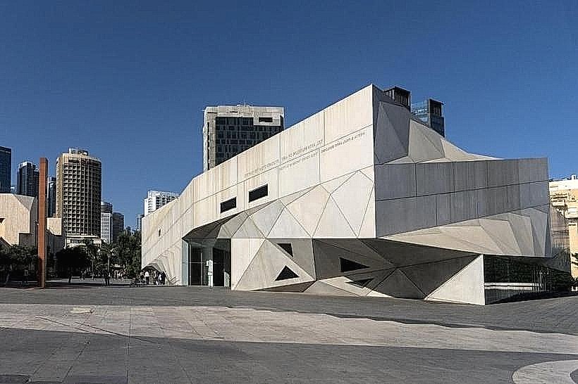
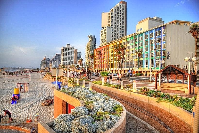
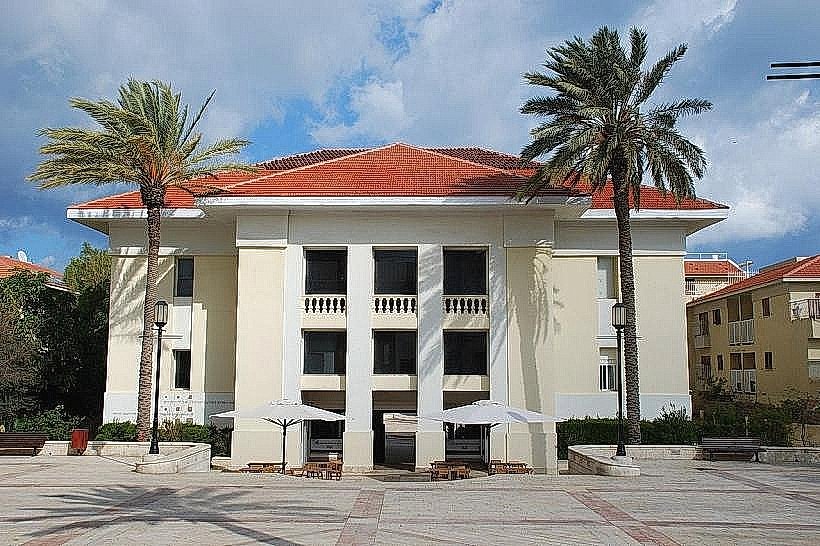
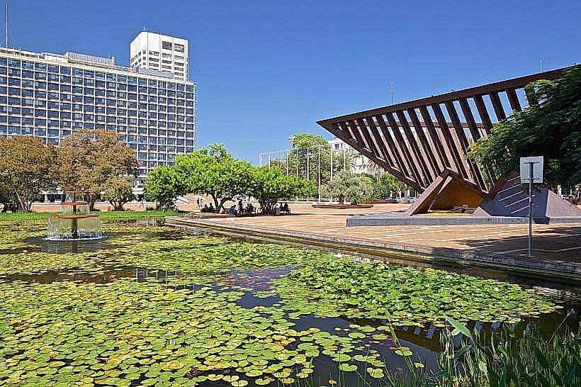
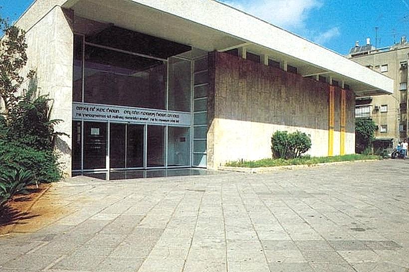
The district is home to major national institutions, including Tel Aviv University and the Eretz Israel Museum. Cultural activities are concentrated around the ANU Museum of the Jewish People and the Palmach Museum. The Tel Aviv Port (Namal) at the northwestern edge offers a large wooden boardwalk with commercial retail, dining, and open-air recreational spaces. The Yarkon Park provides facilities for rowing, cycling, and large-scale outdoor concerts.
Infrastructure & Amenities
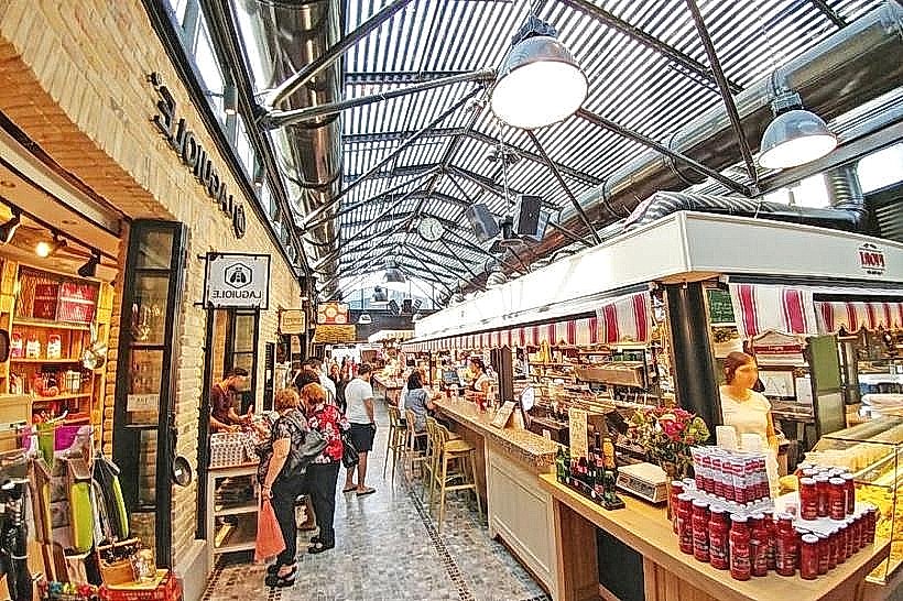
North Tel Aviv possesses the city's most modern infrastructure, including the highest density of cycling paths and well-maintained public squares. It houses several of the country's leading medical facilities and research centers. High-speed 4G/5G cell signal and public Wi-Fi are pervasive. Shopping and dining amenities are concentrated in the Ramat Aviv Mall and the commercial strips of Dizengoff and Yehuda HaMaccabi streets.
Best Time to Visit
The coastal areas and the Tel Aviv Port are best visited in the late afternoon for optimal sunset viewing and cooler temperatures. Educational and cultural institutions generally operate Sunday through Thursday, 09:00 to 17:00. The Yarkon Park is most active on Saturdays when local residents utilize the green spaces for recreation.
Facts & Legends
The neighborhood of Ramat Aviv is built near the archaeological site of Tell Qasile, where excavations have revealed remains of a Philistine port city dating back to the 12th century BCE, demonstrating that the northern ridge has been a strategic location for millennia.
Nearby Landmarks
Tel Aviv University (Central North)
Yarkon Park (South North Tel Aviv)
Eretz Israel Museum (Southwest North Tel Aviv)
Tel Aviv Port (Southwest Coastal)
Ramat Aviv Mall (Northwest)