Landmark: Tel Aviv Beachfront
City: Tel Aviv
Country: Israel
Continent: Asia
Tel Aviv Beachfront, Tel Aviv, Israel, Asia
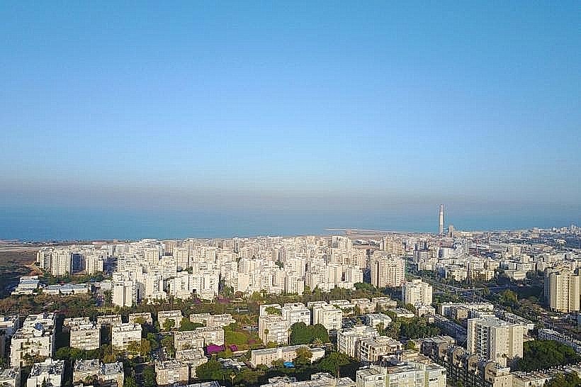
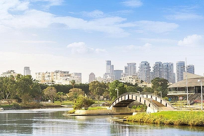
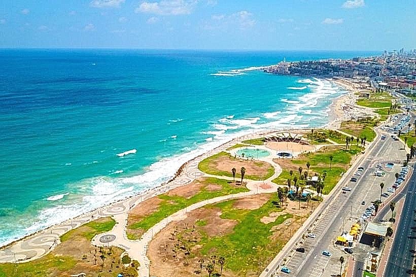
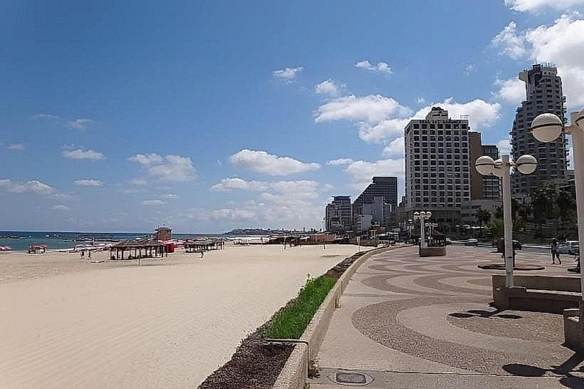
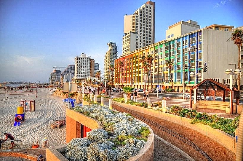
The Tel Aviv Beachfront is a 14-kilometer continuous stretch of Mediterranean coastline located on the western edge of Tel Aviv-Yafo. It serves as a primary recreational and transit corridor, connecting the northern Reading Power Station area to the historic Jaffa Port in the south.
Visual Characteristics
The terrain is characterized by wide expanses of fine-grained, light-tan quartz sand and a series of concrete breakwaters that create calm, shallow lagoons. The promenade is constructed from dark grey granite pavers and timber decking, separated from the urban grid by low stone retaining walls and coastal vegetation like sea daffodils. The water color transitions from light turquoise in the shallows to deep navy beyond the reef lines.
Location & Access Logistics
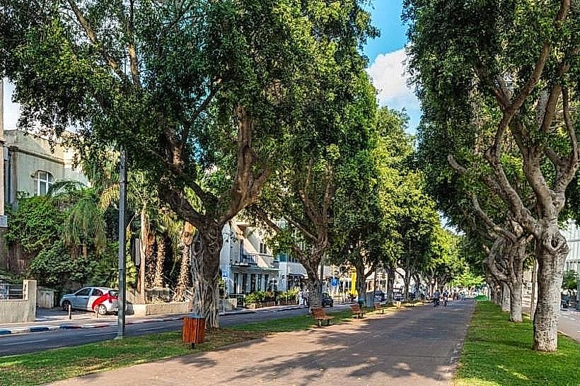
The beachfront runs parallel to Herbert Samuel Street and HaYarkon Street. It is accessible via the Tel Aviv Promenade (Tayelet) and sits approximately 1.5km west of the city center. Parking is available in paid subterranean lots at Charles Clore Park and the Habasit parking areas. Public transport options include bus lines 10, 55, and 66, which run frequently along the coastal parallel roads.
Historical & Ecological Origin
The current infrastructure underwent significant redevelopment in the 1980s and 2010s to replace aging concrete structures with an integrated urban walkway. Geologically, the area is part of the Mediterranean coastal plain, consisting of Holocene sand dunes deposited over Kurkar (aeolianite) sandstone ridges. The beachfront functions as a managed marine ecosystem with seasonal jellyfish cycles and coastal erosion monitoring.
Key Highlights & Activities
Swimming is permitted at designated beaches staffed by lifeguards from May through October. Outdoor gym facilities and volleyball courts are located at Gordon Beach. Surfing and paddleboarding are concentrated at Hilton Beach and the "Drummers Beach" area. The northern section features a dedicated cycling lane that extends to the Herzliya border.
Infrastructure & Amenities
Public restrooms, changing rooms, and outdoor freshwater showers are situated at intervals of approximately 500 meters. 5G cell signal is available across the entire coastline. Shade is provided by permanent wooden and metal pergolas on the sand. Food vendors and permanent beach restaurants are clustered near the main access points at Frishman and Bograshov.
Best Time to Visit
Photographic lighting is optimal during the Mediterranean sunset, typically between 17:00 and 19:30 depending on the season. The best months for beach activities are June and September when water temperatures are high and the humidity is lower than in August. Morning visits before 09:00 are recommended to avoid maximum pedestrian density.
Facts & Legends
A local historical curiosity is the wreck of the Altalena, an Irgun arms ship that was shelled and sunk off the coast of Frishman Beach in 1948 during the Israeli Civil War. Today, a modest underwater memorial sits near the site of the sinking, marking a pivotal moment in the nation's early political history.
Nearby Landmarks
Old Jaffa - 2.5km South
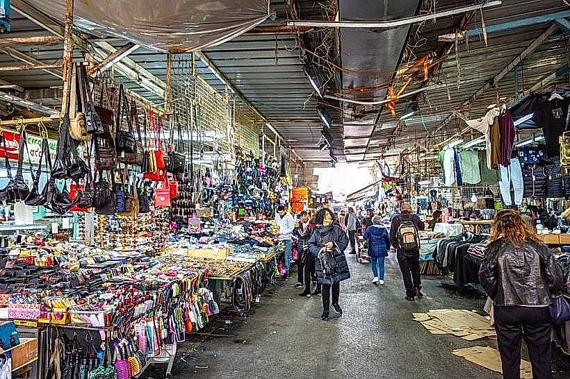
Carmel Market - 0.8km East
Hassan Bek Mosque - 0.4km East
Tel Aviv Marina - 1.2km North
Charles Clore Park - 0.2km South