Landmark: Old Harbor of Tyre
City: Tyre
Country: Lebanon
Continent: Asia
Old Harbor of Tyre, Tyre, Lebanon, Asia
The Old Harbor of Tyre, historically referred to as the Sidonian Port, is an active ancient maritime harbor located on the northern shoreline of the Tyre peninsula in South Lebanon. It functions as a operational artisanal fishing port and a major marine archaeological zone containing the submerged architectural foundations of Phoenician naval infrastructure.
Visual Characteristics
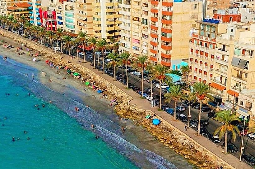
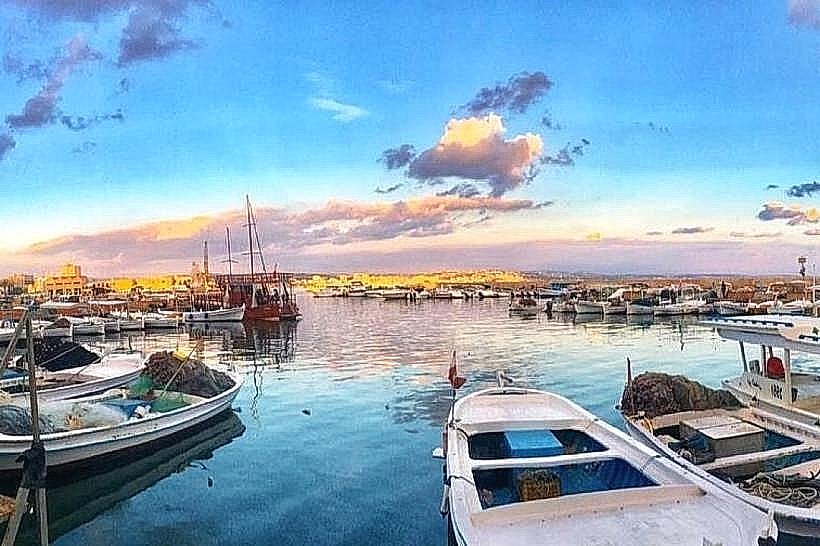
The harbor is a semicircular maritime basin enclosed by a mixture of ancient stone jetties and modern concrete breakwaters. The primary building materials consist of weathered regional marine sandstone (ramleh) blocks and submerged granite column shafts. The waterfront features a crowded anchorage filled with traditional wooden fishing vessels, bordered by a paved pedestrian quay. The northern edge of the harbor basin is delineated by a partially submerged natural sandstone reef, where ancient foundation walls and stone mooring blocks remain visible just beneath the surface of the clear Mediterranean water.
Location & Access Logistics
The port is situated along El-Mina Road at the northernmost point of the Tyre peninsula, approximately 81 kilometers south of Beirut. Vehicular travel from Beirut follows the South Coastal Highway southbound, exiting west at the main Tyre entry junction to connect with the city's coastal corniche. Visitor vehicles can park in municipal bays located directly along the harbor quay or within the public parking lots bordering the adjacent Christian Quarter. Public transportation consists of coastal buses and shared minivans from Beirut’s Cola intersection, which terminate at the Tyre Al-Bass station, requiring a 2-kilometer taxi ride or a 20-minute walk through the old town to reach the docks.
Historical & Ecological Origin
The harbor layout was initially established during the Phoenician Bronze Age, around 1500 BC, utilizing a natural alignment of offshore limestone islets that provided a sheltered lee against open-sea wave refraction. Under the reign of King Hiram I in the 10th century BC, extensive land reclamation connected the islets, creating a fortified twin-harbor system that included this northern basin and a now-submerged southern Egyptian harbor. Following Alexander the Great's historic siege in 332 BC, the construction of his military mole altered regional coastal dynamics, causing sand siltation that converted the island into a peninsula. The port was continuously modified by Roman, Byzantine, Crusader, and Ottoman maritime engineers.
Key Highlights & Activities
Observing the daily operations of local shipwrights constructing and repairing traditional wooden fishing boats (floukas) along the western docks.
Walking out along the northern breakwater to view submerged Roman and Phoenician masonry blocks and ancient iron tie-rod pockets.
Hiring local fishing boats for brief coastal excursions around the peninsula to inspect the marine perimeter walls from the sea.
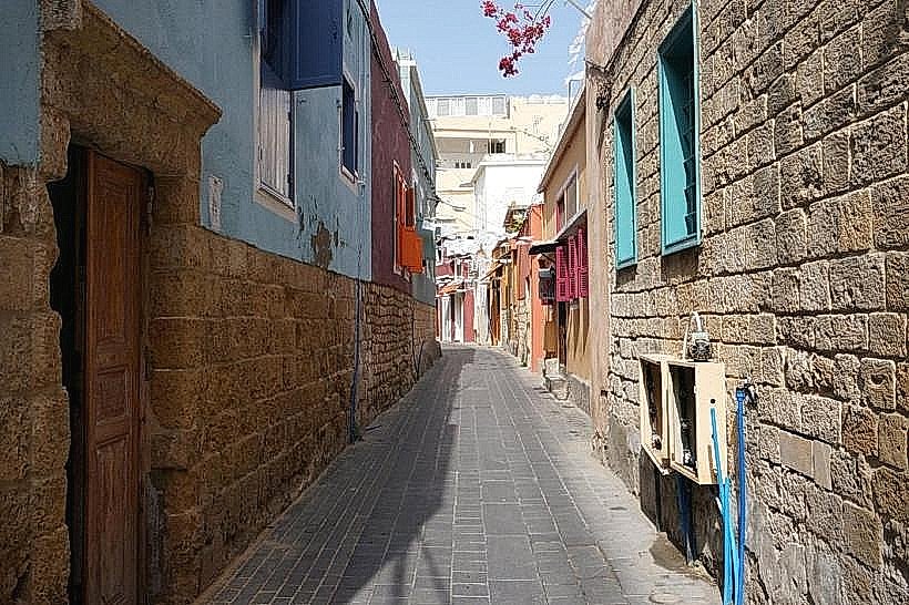
Documenting the architectural transition of the waterfront where old Ottoman-era stone arches interface with modern seaside architecture.
Infrastructure & Amenities
The harbor is a fully integrated municipal and commercial zone. Public restrooms are accessible inside the local port authority building and within the numerous restaurants lining the waterfront quay. Natural shade is limited to the covered awnings of seaside commercial establishments, though the indoor spaces of the adjacent historic quarters provide complete sun protection. Mobile cellular coverage is stable, with 4G and 5G connections consistently provided by national carriers Alfa and Touch. The harbor front contains an array of specialized seafood restaurants, cafes, maritime supply shops, and grocery vendors.
Best Time to Visit
The ideal months to visit are from April to June and September to November to avoid high summer humidity and severe winter coastal gales that can restrict port access. The harbor area is accessible at all hours of the day. The optimal time for photography is during the early morning hours when the rising sun illuminates the northern facade of the old town buildings and the fishing fleet, or during the late afternoon golden hour when the light catches the western breakwater.
Facts & Legends
A verified historical oddity is that the modern harbor basin sits directly on top of a massive layers of historic harbor sediments that contain thousands of discarded amphora fragments and ballast stones dating back to the Iron Age, creating a dense submarine archaeological matrix that has been studied extensively by international diving teams. Local maritime folklore claims that the northern reef is home to a phantom Phoenician defensive wall that completely seals the harbor mouth during low tides, a myth originating from the precise engineering of the ancient breakwaters that remain visible just below the surface during specific lunar alignments.
Nearby Landmarks
Tyre Christian Quarter: 0.1km South
Tyre Old Souks: 0.4km South
Tyre Crusader Cathedral Ruins: 0.6km Southwest
Al-Mina Archaeological Site: 0.7km Southwest
Al-Bass Archaeological Site: 2.0km Southeast