Landmark: Sidab Coastal Area
City: Muscat
Country: Oman
Continent: Asia
Sidab Coastal Area, Muscat, Oman, Asia
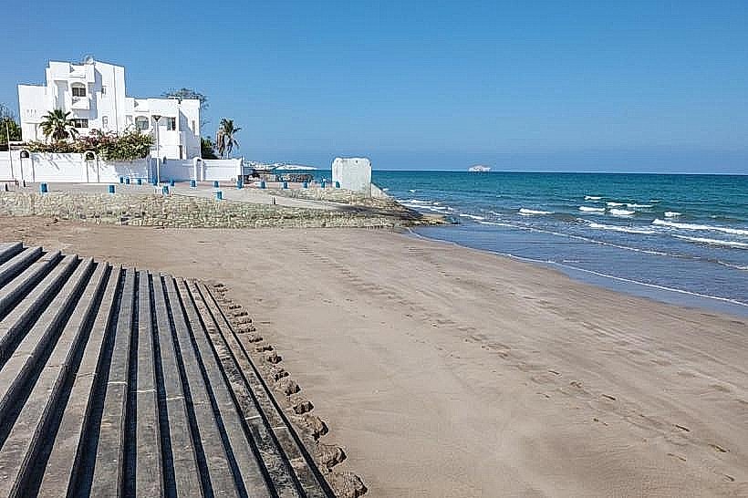
Sidab Coastal Area is a traditional maritime enclave and rocky coastline situated between Old Muscat and the Mutrah district in Muscat, Oman. It serves as a primary hub for local artisanal fishing and provides a natural maritime link between the historic administrative center and the coastal villages to the east.
Visual Characteristics
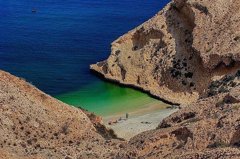
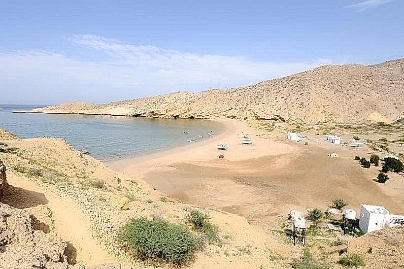
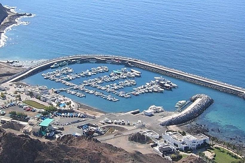
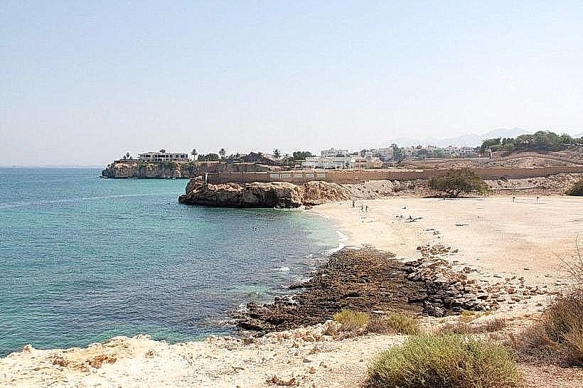
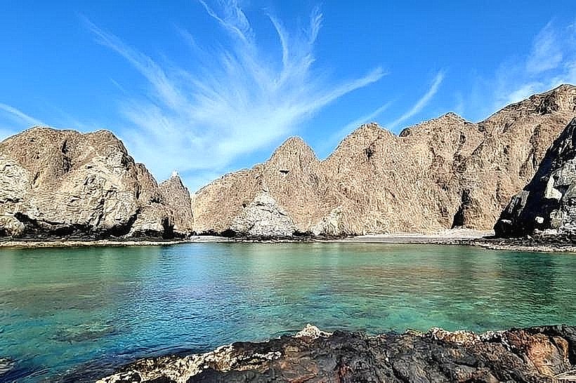
The coastline is defined by dark, jagged ophiolite rock formations and steep cliffs that drop directly into the Gulf of Oman. Small, tucked-away coves feature coarse grey sand and gravel, while the primary harbor area is characterized by a concrete jetty and numerous brightly colored fiberglass fishing boats (skiffs). The architecture of the adjacent village consists of low-rise, white and sand-colored masonry houses tightly packed along narrow corridors.
Location & Access Logistics
The area is accessed via Sidab Street, which connects Old Muscat to the north and Mutrah to the west. It is approximately 3km south of the National Museum of Oman. Limited street parking is available near the harbor and the local football pitch. Mwasalat bus route 4 provides transport to the general vicinity, though a short walk is required to reach the specific coastal access points from the main road stops.
Historical & Ecological Origin
Sidab is one of the oldest inhabited coastal settlements in Muscat, historically serving as a defensive flank for the capital and a center for the regional dhow trade. Geologically, the area is part of the Samail Ophiolite, representing an exposed section of the Earth's oceanic crust and upper mantle. The marine environment is noted for its deep-water drop-offs, which support a variety of pelagic fish and seasonal dolphin pods.
Key Highlights & Activities
The harbor serves as the main departure point for dolphin-watching excursions and snorkeling trips to nearby sea caves. Coastal trekking is possible along the old mountain paths that connect Sidab to the Riyam Park area. Small-scale shore fishing is practiced from the rocky outcroppings. The Sidab Women’s Sewing Group, located in the village, offers a cultural stop for visitors interested in local handicrafts.
Infrastructure & Amenities
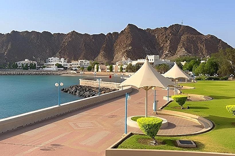
Infrastructure is localized, consisting of a public jetty and a small park area. Public restrooms are located near the local mosque and the harbor administrative building. 4G and 5G cellular coverage is consistent due to the proximity to the city center. There are no large-scale commercial food vendors, but small grocery stores (mushrif) and local coffee shops are situated within the village interior.
Best Time to Visit
Early morning (06:00 to 08:00) is the optimal time to witness the return of the fishing fleet and for photography of the harbor activities. For hiking the coastal trails, the months of November through February are recommended to avoid extreme heat. The late afternoon provides the best lighting for viewing the rock formations from the sea.
Facts & Legends
Local oral history often mentions the "Devil’s Gap," a narrow marine passage between the cliffs nearby that was historically avoided by sailors during rough seas. A unique modern landmark in the area is the Sidab Women's Sewing Group, a community-led initiative that was one of the first in the Sultanate to promote sustainable tourism through traditional textile upcycling.
Nearby Landmarks
Al Alam Palace - 1.8km North
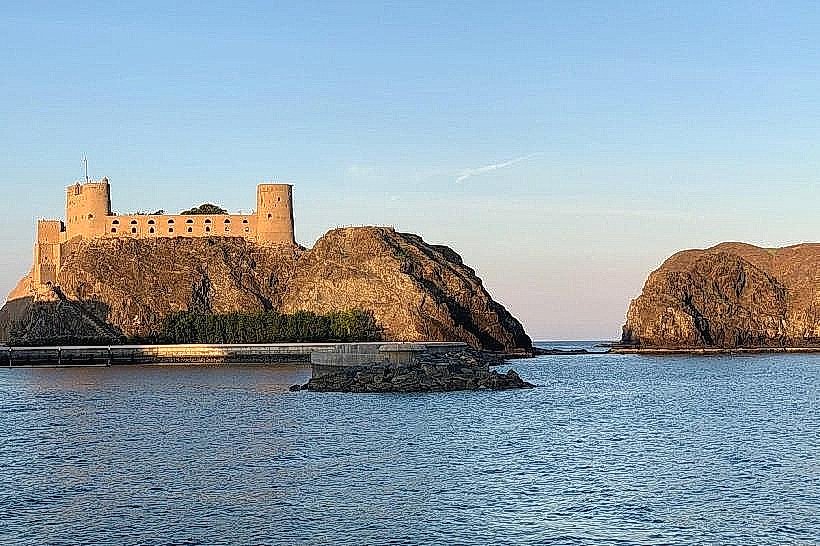
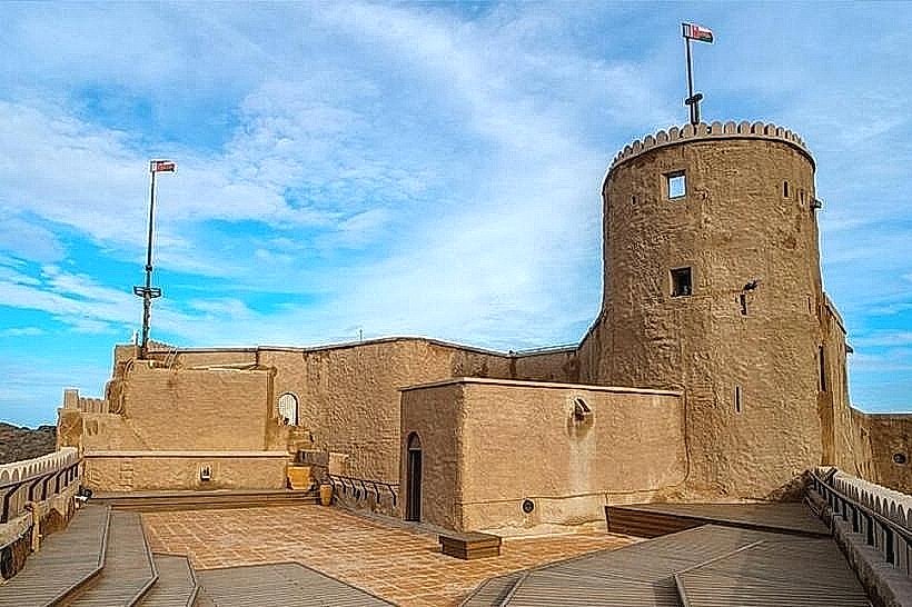
Fort Al Jalali - 2.1km North
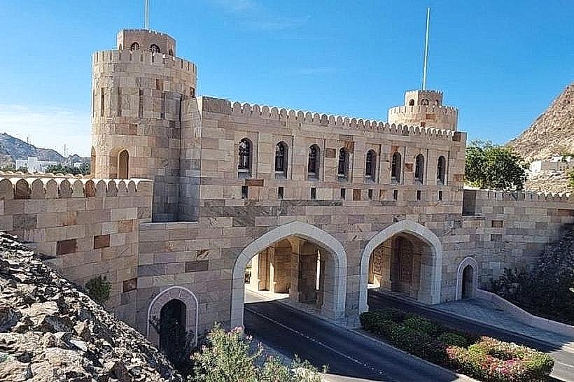
Old Muscat Gate Museum - 1.5km Northwest
Riyam Park - 2.5km West
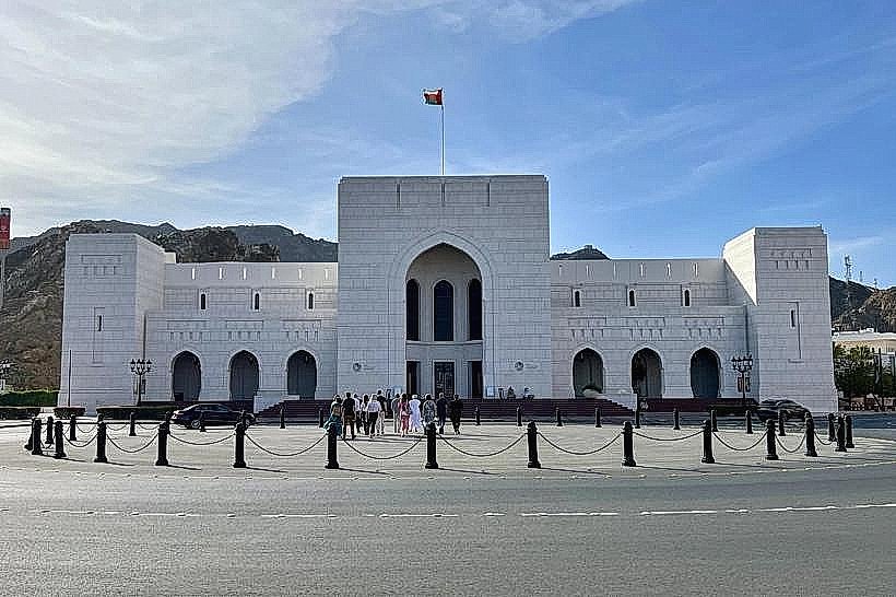
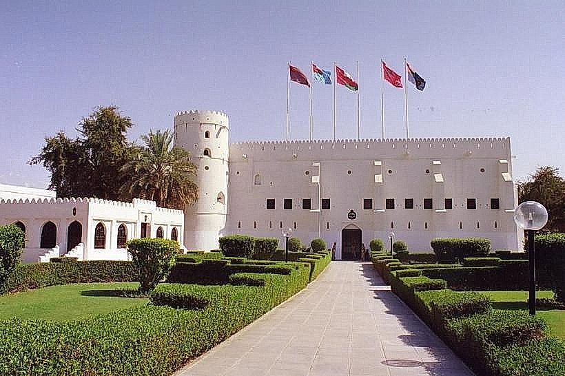
National Museum of Oman - 1.7km North