Landmark: Ball O’Brien Park
City: New Shoreham
Country: USA Rhode Island
Continent: North America
Ball O’Brien Park, New Shoreham, USA Rhode Island, North America
Ball O'Brien Park is a public recreational area situated in New Shoreham, Rhode Island.
This park encompasses approximately 15 acres of varied terrain.
Visual Characteristics
The park features open grassy fields, mature deciduous trees, and a central pond. The pond's water color varies from murky brown to green depending on rainfall and algae bloom. The ground is primarily composed of packed earth and grass, with some areas of exposed soil near the pond's edge. Tree species include oak, maple, and pine.
Location & Access Logistics
Ball O'Brien Park is located 2.5 kilometers west of New Shoreham's town center. Access is via State Route 108, turning onto Park Road. Parking is available in a designated gravel lot at the park's southern entrance, with capacity for approximately 30 vehicles. No public transport routes directly serve the park; the nearest bus stop is 1.5 kilometers east on State Route 108.
Historical & Ecological Origin
The land was acquired by the town of New Shoreham in 1958 for public use. Prior to its designation as a park, the area was agricultural land. The central pond is a man-made feature, created in the 1960s to manage local drainage and provide a water source for irrigation.
Key Highlights & Activities
Activities include picnicking at designated tables, walking the perimeter trail around the pond, and birdwatching. Fishing is permitted in the pond, with a valid Rhode Island fishing license required. The northern section of the park offers open space for informal sports.
Infrastructure & Amenities
The park contains two public restroom facilities located near the main parking area. Several picnic tables are distributed throughout the park, some situated under mature trees providing shade. Cell phone signal (4G) is generally available within the park boundaries. No food vendors operate within the park; the nearest commercial establishments are 1 kilometer east on State Route 108.
Best Time to Visit
For photography, early morning or late afternoon light offers optimal conditions for the pond and fields. The months of May through October provide the most favorable weather for outdoor activities. The pond's water level is generally stable year-round, with no specific tide requirements.
Facts & Legends
Local lore suggests that the pond was once a site for clandestine meetings during Prohibition, though no verifiable historical records support this claim. A specific tip for visitors: the western edge of the pond is often less populated and provides better opportunities for observing waterfowl.
Nearby Landmarks
- Block Island Historical Society Museum (2.0km East)
- Mohegan Bluffs (4.5km South)
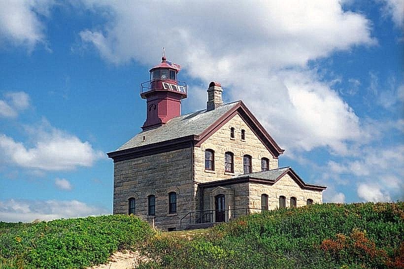
- North Lighthouse (3.8km North)
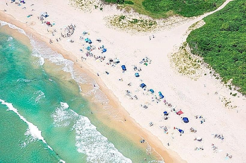
- Crescent Beach (1.8km Southeast)