Landmark: Rodman’s Hollow
City: New Shoreham
Country: USA Rhode Island
Continent: North America
Rodman’s Hollow, New Shoreham, USA Rhode Island, North America
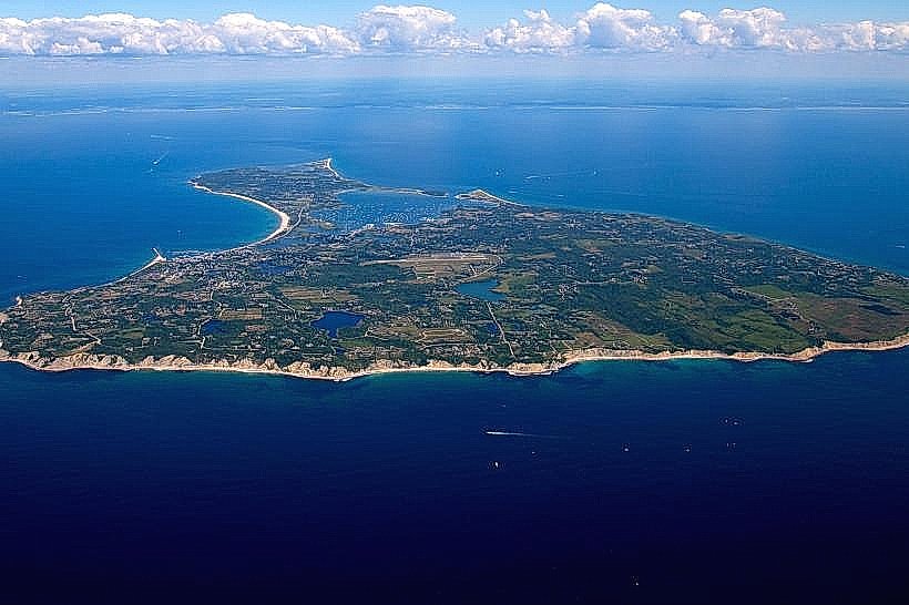
Rodman's Hollow is a geological depression located on Block Island, within the municipality of New Shoreham, Rhode Island.
Visual Characteristics
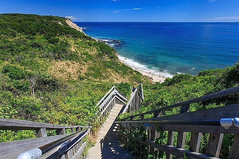
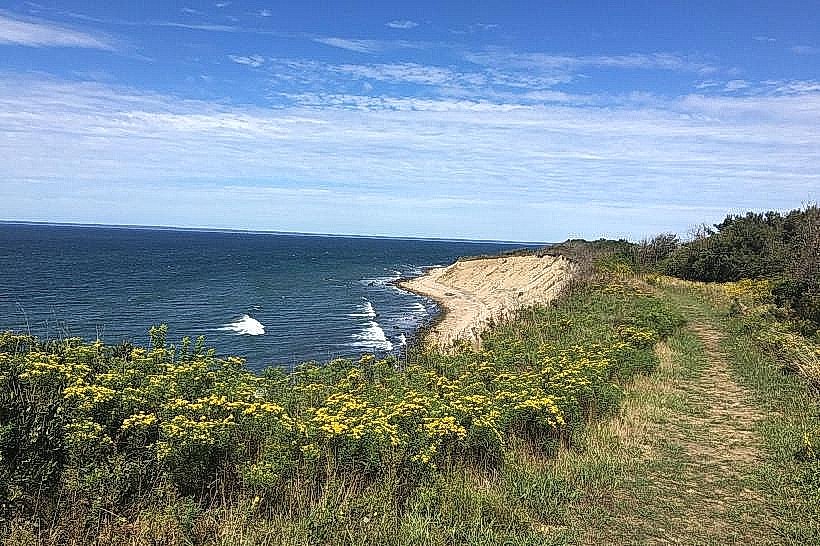
This area features a broad, U-shaped valley with slopes covered in dense, low-lying vegetation, primarily consisting of coastal shrubs and grasses. The valley floor is characterized by sandy soil and scattered rocks. The surrounding terrain rises to elevations of approximately 150 feet above sea level.
Location & Access Logistics
Rodman's Hollow is situated on the southern portion of Block Island. It is approximately 3 miles south of the Old Harbor ferry terminal. Access is via Spring Street, which transitions into a dirt road leading to a small, unpaved parking area at the hollow's eastern edge. No public transportation services directly reach this location.
Historical & Ecological Origin
The hollow is a glacial outwash plain, formed by meltwater streams from the receding Wisconsin Glacier approximately 15,000 years ago. The area is classified as a coastal shrubland ecosystem, supporting a variety of native plant and animal species adapted to the island's maritime climate.
Key Highlights & Activities
Hiking is the primary activity. The Rodman's Hollow Trail, a 1.5-mile loop, traverses the valley floor and ascends the western rim. Birdwatching is also common due to the diverse vegetation.
Infrastructure & Amenities
There are no permanent structures or amenities within Rodman's Hollow. Restrooms are not available on-site. Cell phone reception is intermittent to non-existent within the hollow itself. No food vendors are present.
Best Time to Visit
For optimal hiking conditions and visibility, visit between late spring and early autumn (May to October). Mid-morning or late afternoon provides softer lighting for photography. The area is accessible year-round, weather permitting.
Facts & Legends
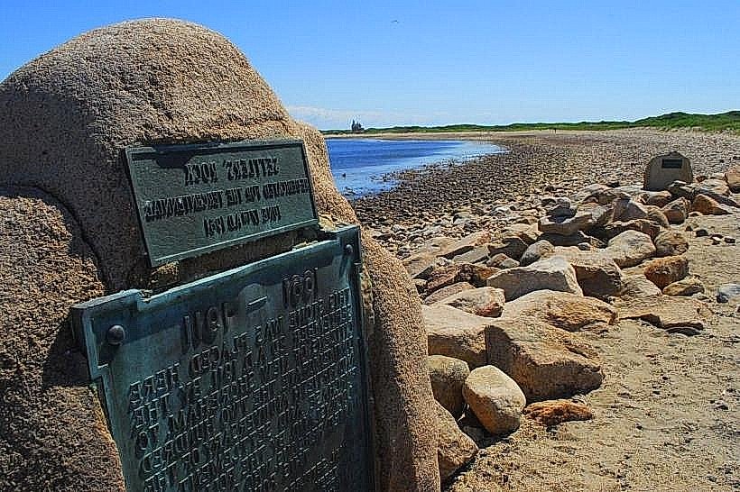
Local lore suggests the hollow was a favored gathering spot for indigenous peoples. A specific geological feature, a large glacial erratic boulder known as "The Great Stone," is located near the western trail ascent.
Nearby Landmarks
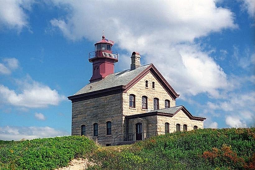
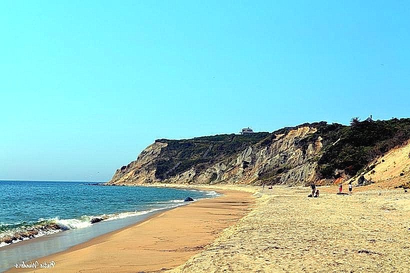
- Mohegan Bluffs (0.8km Southwest)
- Southeast Lighthouse (1.2km West)
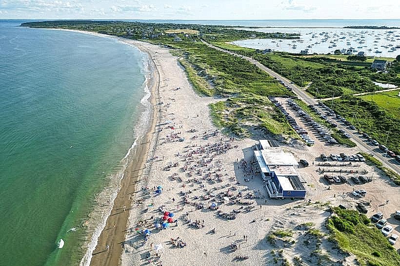
- Ballard's Beach (2.5km North)
- Crescent Beach (3.0km North)
- Block Island National Wildlife Refuge (3.5km Northwest)