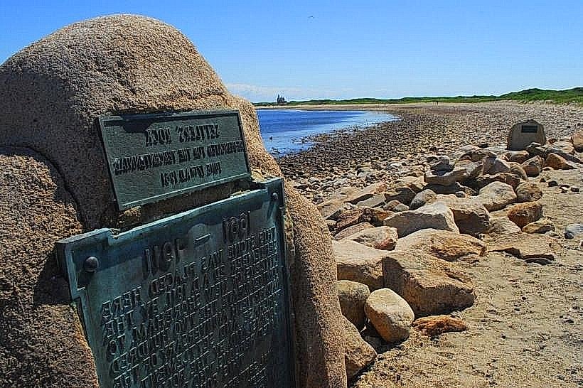
Landmark: Settler’s Rock
City: New Shoreham
Country: USA Rhode Island
Continent: North America
Settler’s Rock, New Shoreham, USA Rhode Island, North America
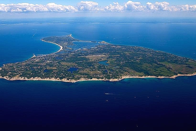
Settler's Rock is a large glacial erratic located on Block Island, off the coast of New Shoreham, Rhode Island.
This geological feature is a significant boulder deposited by glacial activity.
Visual Characteristics
Settler's Rock is a granite boulder measuring approximately 15 feet in length, 10 feet in width, and 8 feet in height. Its surface is rough and weathered, exhibiting various shades of gray and pink due to its mineral composition. Lichen growth is present on portions of the rock.
Location & Access Logistics
The rock is situated on the western side of Block Island, approximately 2.5 miles from the Old Harbor ferry terminal. Access is via Corn Neck Road, turning onto a gravel path approximately 0.5 miles north of the intersection with Spring Street. Parking is available at a small, unpaved pull-off area adjacent to the path. No public transport directly serves the site.
Historical & Ecological Origin
Settler's Rock is a glacial erratic, a large rock transported and deposited by a glacier during the last ice age. Its presence indicates the immense power and scale of glacial movement across the region. It is believed to have been a significant landmark for early European settlers arriving on the island.
Key Highlights & Activities
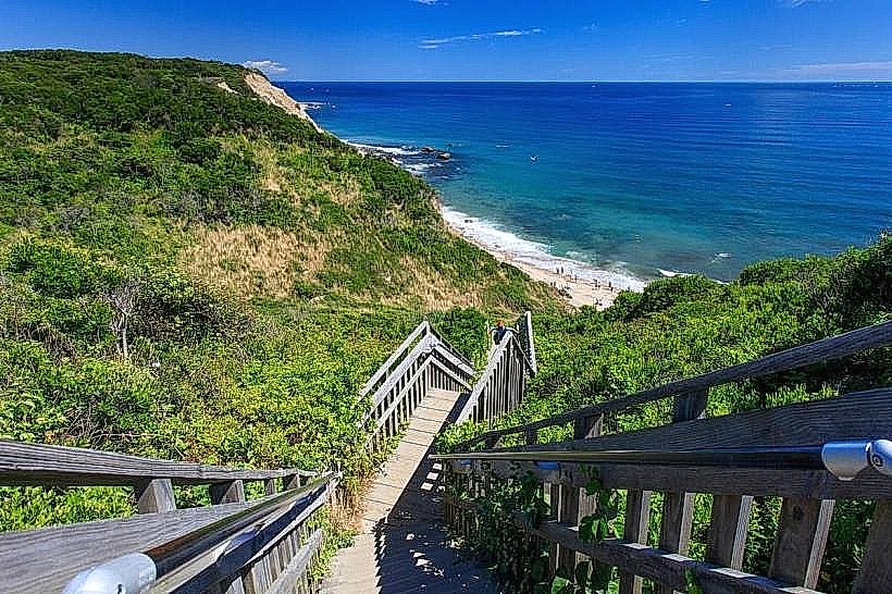
Observation of the rock's geological features. Photography of the boulder and surrounding coastal landscape. Walking the coastal path that runs near the rock.
Infrastructure & Amenities
No restrooms or designated shade structures are present at the immediate site. Cell phone signal (4G/5G) is generally available in the vicinity. No food vendors are located directly at Settler's Rock; visitors should plan to bring provisions.
Best Time to Visit
For photography, late afternoon light provides optimal illumination of the rock's texture and color. The months of June through September offer the most stable weather conditions for visiting. No tide-specific access requirements exist.
Facts & Legends
Local lore suggests that the rock was used as a marker by the island's first European settlers, though definitive historical documentation is limited. Its sheer size and isolated placement on the landscape have contributed to its status as a point of interest.
Nearby Landmarks
- Mohegan Bluffs (1.2km South)
- North Lighthouse (3.5km North)
- Rodman's Hollow (2.0km Southeast)
- Southeast Lighthouse (4.8km Southeast)