Landmark: Southeast Light Overlook
City: New Shoreham
Country: USA Rhode Island
Continent: North America
Southeast Light Overlook, New Shoreham, USA Rhode Island, North America
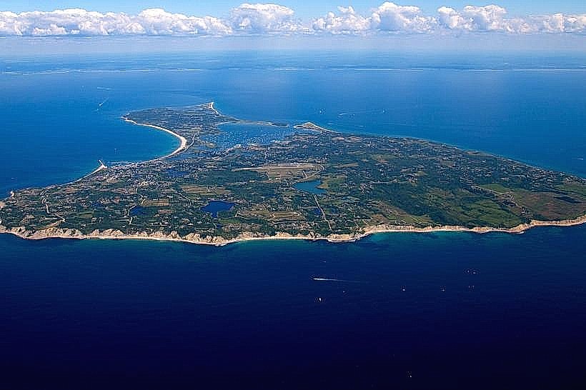
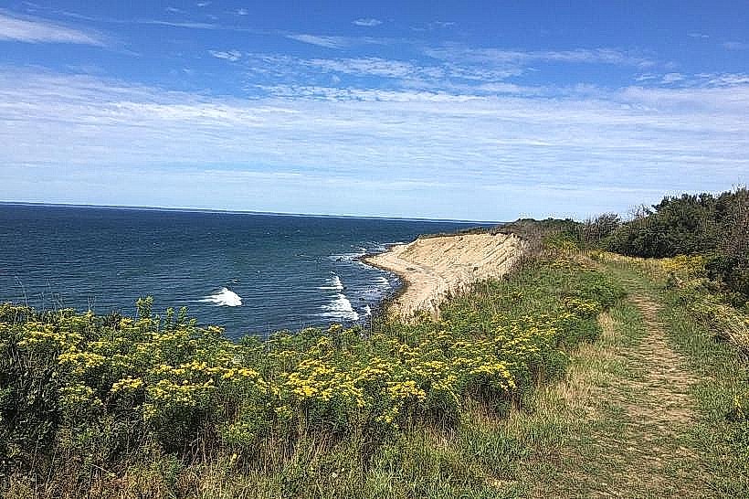
Southeast Light Overlook is a viewpoint located on Block Island, within the municipality of New Shoreham, Rhode Island, USA.
Visual Characteristics
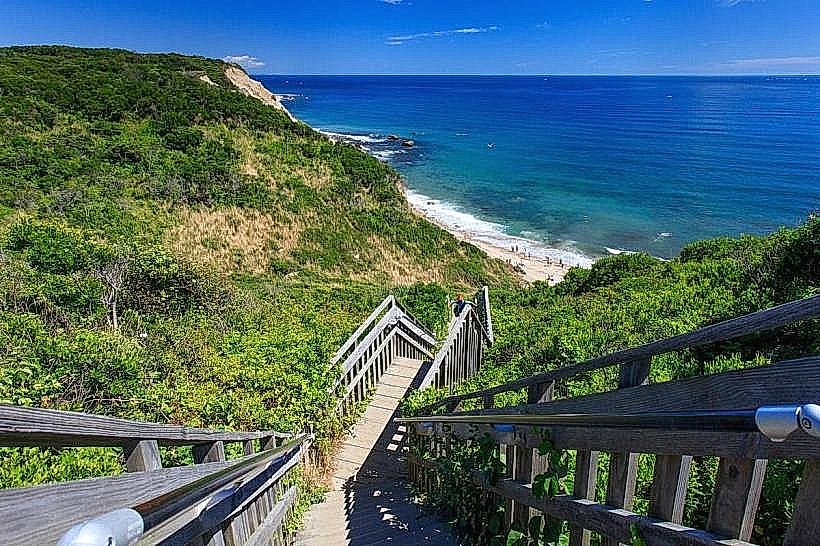
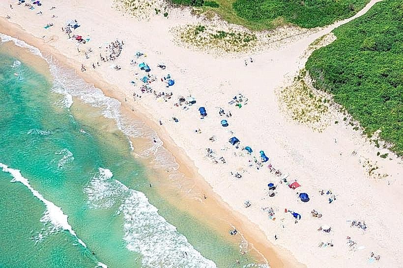
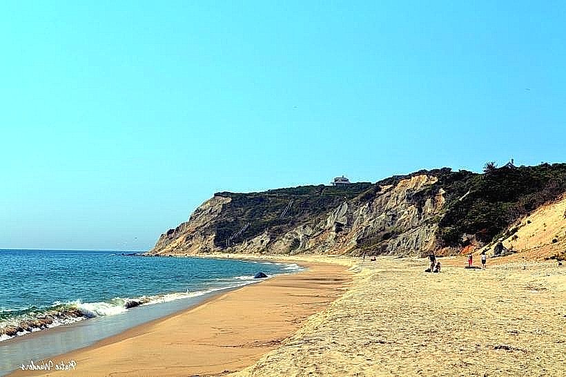
The overlook features a paved viewing platform constructed from concrete. It is situated on a bluff overlooking the Atlantic Ocean. The dominant colors are the grey of the concrete, the green of the surrounding coastal vegetation, and the blue of the ocean. The terrain is characterized by rolling hills and exposed rock formations.
Location & Access Logistics
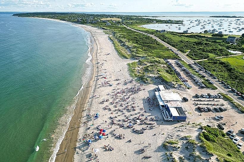
Southeast Light Overlook is situated at the southern tip of Block Island. It is approximately 10 kilometers (6.2 miles) south of the main ferry terminal in Old Harbor. Access is via Corn Neck Road, which transitions into Mohegan Trail. Parking is available in a designated gravel lot adjacent to the overlook. No public transport directly serves the overlook; visitors typically arrive by private vehicle or bicycle.
Historical & Ecological Origin
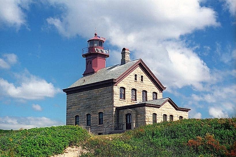
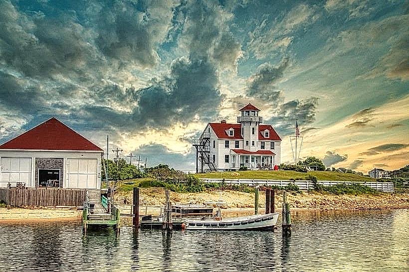
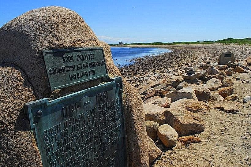
The overlook was established to provide a vantage point for the Southeast Light, a historic lighthouse constructed in 1875. The bluff itself is composed of glacial till and bedrock, shaped by coastal erosion over millennia. The area is part of the Block Island National Wildlife Refuge.
Key Highlights & Activities
Observation of the Southeast Light structure. Viewing of the Atlantic Ocean coastline. Birdwatching opportunities, particularly during migratory seasons. Photography of the lighthouse and seascape.
Infrastructure & Amenities
The overlook includes a concrete viewing platform and a small gravel parking area. Restrooms are not directly at the overlook but are available at the nearby Southeast Light. Shade is minimal, provided only by natural vegetation. Cell phone signal (4G/5G) is generally available.
Best Time to Visit
For photography, the late afternoon offers favorable lighting conditions due to the westward angle of the sun. The months of May through October provide the most stable weather. High tide is not a factor for access or viewing at this location.
Facts & Legends
The Southeast Light itself was famously moved 360 feet inland in 1993 to prevent its collapse into the sea due to coastal erosion. This relocation was a significant engineering feat.
Nearby Landmarks
- Southeast Light (0.1km North)
- Mohegan Bluffs Trailhead (0.3km Northwest)
- Ballard's Point (3.5km West)
- Black Rock (4.0km Southwest)
- Clay Head Nature Preserve (4.8km North)