Landmark: Block Island National Wildlife Refuge
City: New Shoreham
Country: USA Rhode Island
Continent: North America
Block Island National Wildlife Refuge, New Shoreham, USA Rhode Island, North America
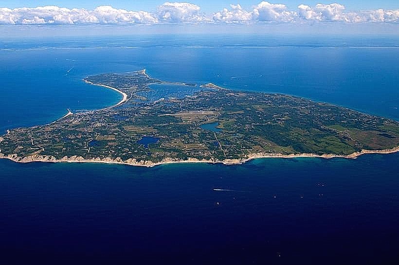
The Block Island National Wildlife Refuge is a protected area located on the western end of Block Island, Rhode Island, USA.
This refuge encompasses coastal habitats critical for migratory birds and other wildlife.
Visual Characteristics
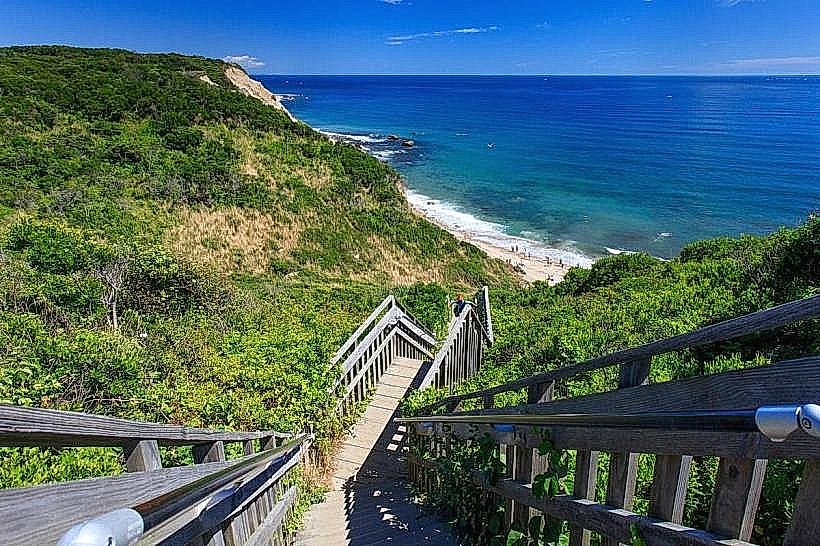
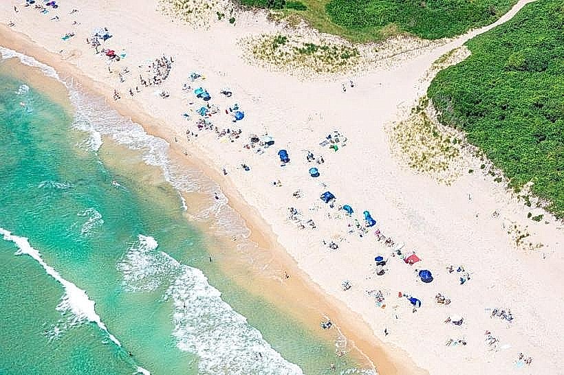
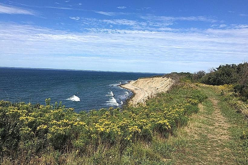
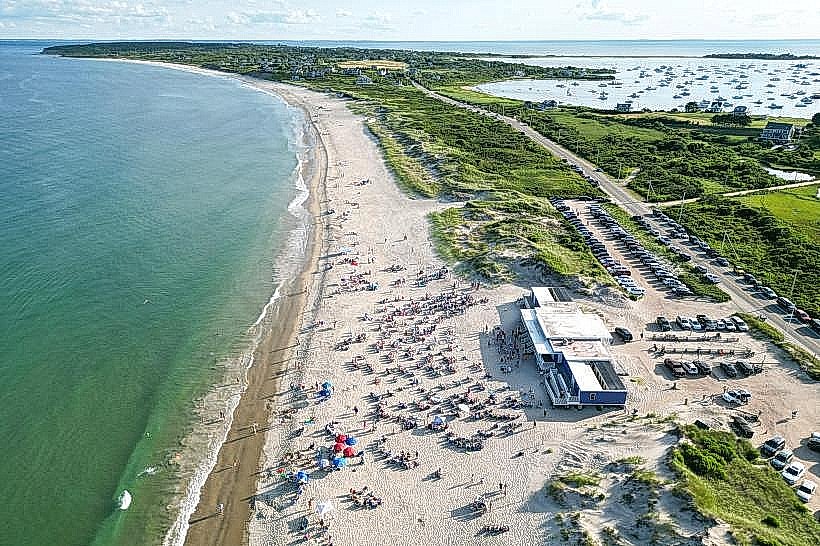
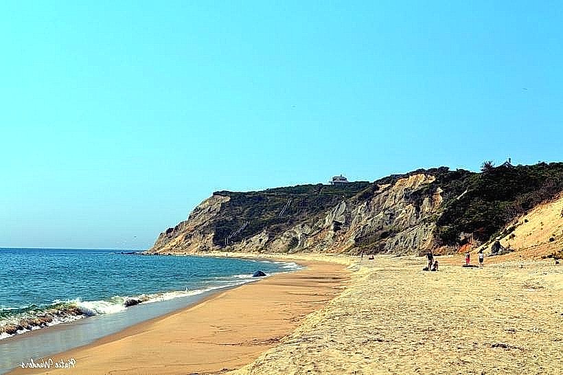
The refuge features a varied landscape including coastal bluffs, sandy beaches, salt marshes, and grasslands. The bluffs are composed of glacial till and sand, exhibiting layered sedimentary deposits. Vegetation includes native grasses, shrubs like bayberry and rose, and coastal wildflowers. The Atlantic Ocean borders the refuge to the west, with water color varying from deep blue to grey depending on weather conditions.
Location & Access Logistics
The refuge is situated on the westernmost point of Block Island, approximately 12km west of the main ferry terminal in Old Harbor. Access is via Corn Neck Road, which leads directly to the refuge entrance. Parking is available at designated lots near the Mohegan Bluffs and the Clay Head Nature Trailhead. Public transportation on Block Island is limited to seasonal taxi services and bicycle rentals; no specific bus lines serve the refuge directly.
Historical & Ecological Origin
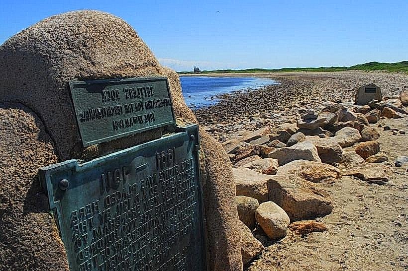
The Block Island National Wildlife Refuge was established in 1973. The land was acquired through donations and purchases to preserve its unique ecological features and provide habitat for wildlife. The geological formations are primarily a result of glacial activity during the last ice age, which shaped the island's topography and coastline.
Key Highlights & Activities
Activities include birdwatching, particularly during spring and fall migration periods. Hiking is permitted on designated trails, such as the Mohegan Bluffs Trail and the Clay Head Nature Trail. Photography of the coastal scenery and wildlife is also a common activity. Access to the beach below the bluffs is possible but requires careful navigation due to steep terrain.
Infrastructure & Amenities
Restrooms are available at the Mohegan Bluffs parking area. Limited shade is provided by natural vegetation. Cell phone signal (4G/5G) is generally available but can be intermittent in more remote sections of the refuge. No food vendors are located within the refuge; visitors should bring their own provisions.
Best Time to Visit
For birdwatching, the spring (April-May) and fall (September-October) migration seasons offer the highest diversity of species. For general sightseeing and hiking, late spring (June) and early autumn (September) provide moderate temperatures and lower visitor numbers. Lighting for photography is optimal during the early morning and late afternoon hours.
Facts & Legends
The Mohegan Bluffs, a prominent feature of the refuge, are said to be the site of a battle between the indigenous Mohegan tribe and the Niantic tribe. Local lore suggests that the spirits of fallen warriors can still be heard on windy nights. A specific tip for visitors is to check tide charts before attempting to access the beach below the bluffs, as high tides can make passage difficult or impossible.
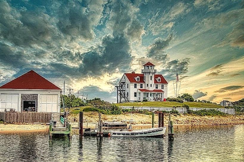
Nearby Landmarks
- Mohegan Bluffs (0km West)
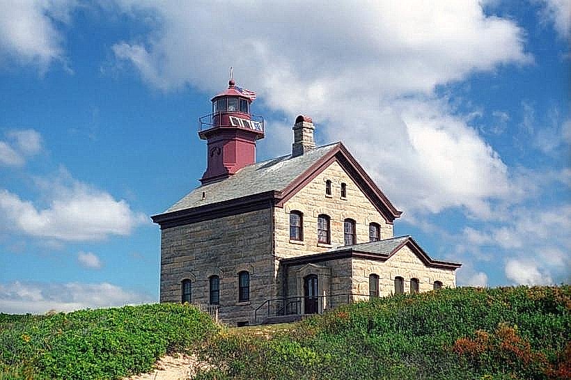
- Southeast Lighthouse (1.5km Southeast)
- Clay Head Nature Trail (0.8km Northeast)
- Ballard's Beach (3.5km East)
- Block Island Historical Society Museum (4.2km East)