Landmark: Bandafassi
City: Kedougou
Country: Senegal
Continent: Africa
Bandafassi, Kedougou, Senegal, Africa
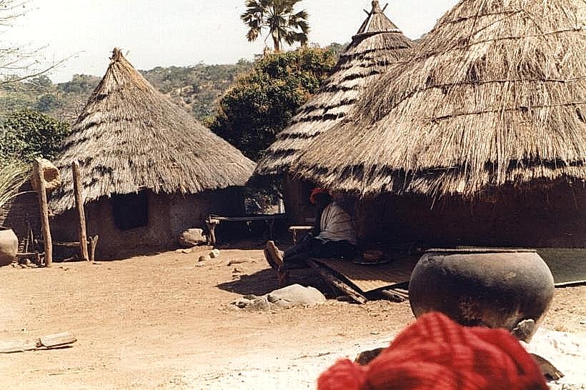
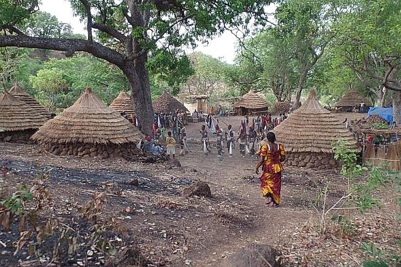
Bandafassi is a rural commune and a significant cultural crossroads located at the foot of the Bandafassi Plateau in the Kédougou region of southeastern Senegal. It serves as the primary administrative and logistical gateway for the surrounding Bedik, Serer, and Peul ethnic settlements.
Visual Characteristics
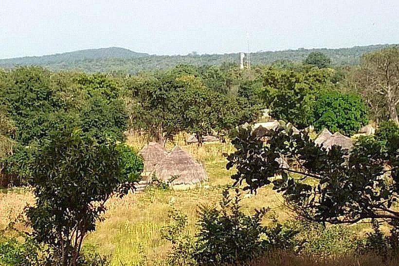
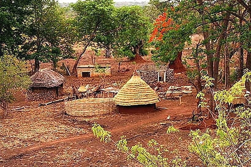
The settlement is characterized by a mix of traditional circular mud huts with thatched roofs and modern rectangular concrete structures with corrugated iron roofing. The landscape is defined by its proximity to steep, reddish-brown sandstone cliffs and the presence of massive, ancient baobab trees that dominate the village center. The soil is primarily lateritic, resulting in a distinct dusty orange-red hue across the unpaved roads and communal areas.
Location & Access Logistics
Bandafassi is situated approximately 15km west of the city of Kédougou via the unpaved P3221 road. Access is possible by local "sept-place" bush taxis or 4x4 vehicles from Kédougou. During the rainy season (July to October), the road becomes significantly more difficult to navigate due to mud and erosion. Most visitors use Bandafassi as a base or trailhead for treks to the hilltop villages of the plateau.
Historical & Ecological Origin
The village is part of the Bassari Country cultural landscape, which was designated a UNESCO World Heritage site in 2012. It historically functioned as a lowland trading post and agricultural center for the highland Bedik people. Geologically, the area sits at the base of the Paleozoic sandstone escarpments that characterize the northern foothills of the Fouta Djallon mountain range.
Key Highlights & Activities
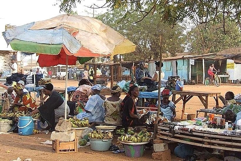
The village serves as the starting point for the 2km steep uphill hike to the traditional Bedik village of Iwol. Cultural observation is a primary activity, particularly during the dry season when traditional festivals and masked dances occur. The weekly market (louma) allows for the purchase of artisanal crafts, local honey, and agricultural products from the plateau.
Infrastructure & Amenities
Infrastructure is basic but serves as a regional hub; there is a local health post (poste de santé) and a small elementary school. There are no large-scale hotels, but several small eco-camps and guest houses offer basic lodging and pit latrines. 4G cellular signal is generally available but can be inconsistent near the base of the cliffs. There is no reliable piped water system, with most residents using communal wells.
Best Time to Visit
The best time to visit is during the dry season from November to April, which ensures the road from Kédougou remains passable. Photography is best in the early morning (07:00–09:00) when the rising sun illuminates the plateau cliffs. For those interested in local culture, visiting during the post-harvest months of May or June increases the chance of witnessing traditional ceremonies.
Facts & Legends
Bandafassi is often referred to as a "cultural laboratory" due to the peaceful coexistence of different ethnic groups, each maintaining distinct languages and religious practices within a small radius. A local secret for visitors is the "Grotte de Bandafassi," a nearby rock shelter historically used for refuge during tribal conflicts, located a short distance from the main village path.
Nearby Landmarks
Iwol Bedik Village – 2.0km West (Uphill)
Kedougou City Center – 15.0km East
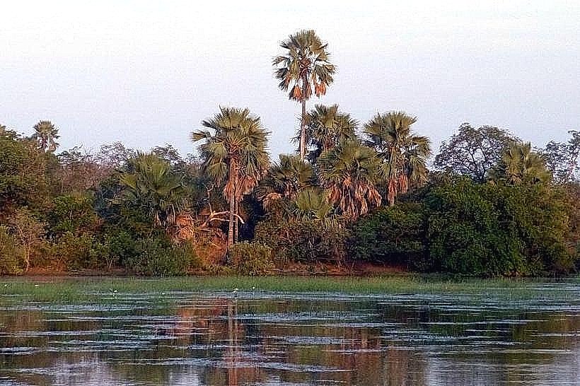
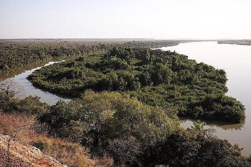
Gambia River – 12.0km North
Dindefelo Falls – 28.0km Southwest