Landmark: Niokolo-Koba National Park
City: Kedougou
Country: Senegal
Continent: Africa
Niokolo-Koba National Park, Kedougou, Senegal, Africa
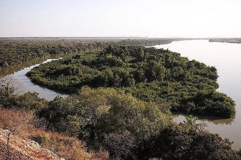
Niokolo-Koba National Park is a UNESCO World Heritage site and protected biosphere reserve located in southeastern Senegal near the Guinea-Bissau border. It spans over 900,000 hectares of diverse terrain across the regions of Kédougou and Tambacounda, bisected by the Gambia River.
Visual Characteristics
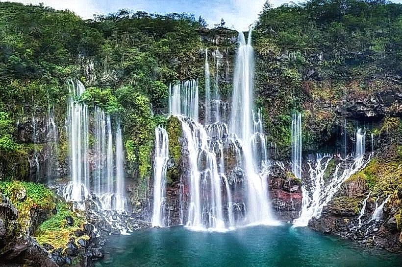
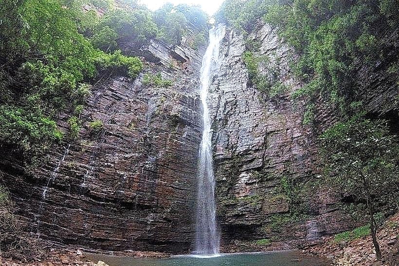
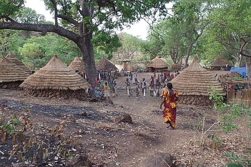
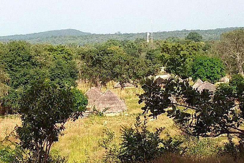
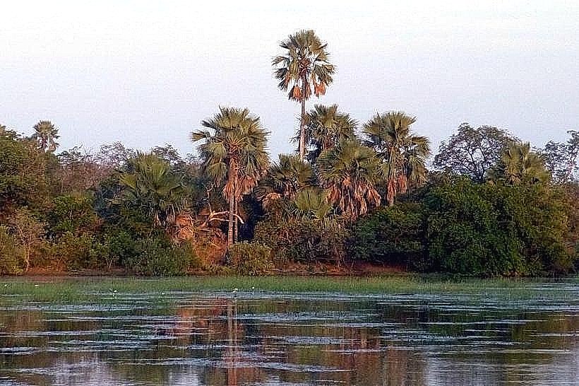
The landscape consists of vast sudano-guinean savannas, dense gallery forests, and seasonal wetlands. The terrain features lateritic plateaus, large granite rock formations, and wide alluvial plains. Vegetation includes tall elephant grass, massive baobabs, and mahogany trees, while the riverbanks are lined with thick bamboo and raffia palms.
Location & Access Logistics
The primary entrance, the Dar Salam Gate, is located on the N7 road, approximately 60km south of Tambacounda. Access requires a high-clearance 4x4 vehicle due to the unpaved and rugged nature of the internal track network. Public transport is limited to bush taxis that stop at the park entrance, from which visitors must arrange authorized park vehicles for interior transit.
Historical & Ecological Origin
Established as a reserve in 1925 and elevated to national park status in 1954, the site was designated a UNESCO World Heritage site in 1981. It sits on a geological basin formed by the Gambia River system, characterized by ancient metamorphic rock. It serves as one of the last remaining refuges for the critically endangered West African lion and the Lord Derby eland.
Key Highlights & Activities
Safari drives are the primary activity for observing wildlife, including hippos, crocodiles, elephants, and leopards. Guided boat trips on the Gambia River allow for the viewing of aquatic species and diverse birdlife. Specialized trekking is permitted in specific zones with park rangers, focusing on tracking the rare wild dog populations or visiting the Simenti waterhole.
Infrastructure & Amenities
Infrastructure is concentrated in the Simenti area, which features a basic hotel and landing strip. Beyond this hub, there are no public restrooms, food vendors, or paved roads. Shade is naturally provided by gallery forests but is scarce in the open savanna. 4G cellular signal is highly unreliable and generally non-existent once away from the main park gates.
Best Time to Visit
The optimal period for wildlife viewing is the late dry season from March to May, as animals congregate around the remaining water sources. During the rainy season (July to October), many tracks become impassable and the park often closes to visitors. Early morning (06:30–09:00) provides the highest probability of predator sightings and the best lighting for photography.
Facts & Legends
The park is home to over 330 species of birds and represents the highest point of biodiversity in Senegal. A local historical oddity is the "Gue de Damantan," a natural stone ford used for centuries by seasonal nomadic herders and early explorers to cross the Gambia River before formal bridges were constructed in the region.
Nearby Landmarks
Gambia River – 0.1km (Internal)
Mount Assirik – 4.5km East (Highest point in park)
Simenti Waterhole – 0.5km South
Tambacounda City – 60.0km North