Landmark: Cedars of God (Arz el-Rab)
City: Bcharre
Country: Lebanon
Continent: Asia
Cedars of God (Arz el-Rab), Bcharre, Lebanon, Asia
The Cedars of God (Arz el-Rab) is an ancient, protected forest enclave situated on the slopes of Mount Makmel within the Bsharri District of North Lebanon Governorate. It represents one of the final remaining stands of the historic Lebanese Cedar (Cedrus libani) forest that once covered Mount Lebanon, functioning today as a dynamic conservation zone and a UNESCO World Heritage site.
Visual Characteristics
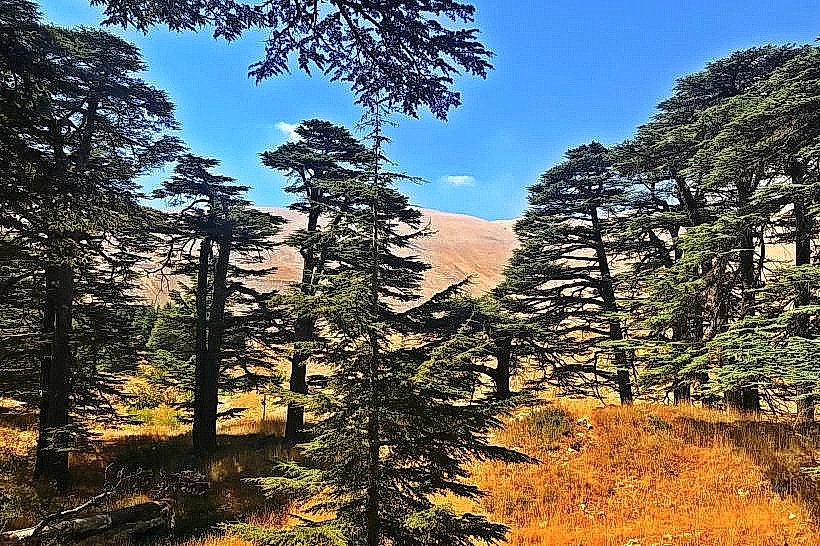
The grove features a dense canopy of ancient coniferous trees characterized by their massive horizontal branch structures, flat crowns, and silver-grey bark. Individual specimens reach heights of up to 35 meters, with trunk circumferences exceeding 12 meters, rooted in a rocky alpine soil matrix interspersed with grey limestone scree. The forest floor is characterized by minimal undergrowth due to dense canopy shade, though native montane flora and young cedar saplings populate the peripheral clearings. The terrain sits at an elevation of 1,900 to 2,050 meters above sea level, presenting dramatic vertical drops and snow accumulation bowls.
Location & Access Logistics
The forest is located 120 kilometers northeast of Beirut and 8 kilometers east of the town of Bsharri. Access from Beirut is via the northern coastal highway to Chekka, turning inland onto the regional winding route passing through Amioun and Bsharri toward the Cedars ski resort. A paved municipal parking zone is positioned directly at the main western entry gate. Public transit options are restricted to regional buses connecting Beirut to Bsharri, from which visitors must procure local private vehicular transport or taxis to negotiate the final 8-kilometer uphill mountain road.
Historical & Ecological Origin
The forest is an ecological remnant of a vast prehistoric cedar forest system that was systematically deforested across millennia by ancient civilizations-including the Phoenicians, Egyptians, and Romans-for ship construction, temple foundations, and rail systems. In 1876, Queen Victoria of the United Kingdom funded a protective stone wall around the 10-hectare perimeter to isolate the remaining grove from browsing goat herds. Geologically, the site is positioned within an alpine karst landscape, with groundwater dynamics driven by seasonal snowmelt infiltrating through Cretaceous-era limestone layers.
Key Highlights & Activities
Primary activities center on pedestrian transit along a network of elevated, eco-friendly wooden boardwalks designed to prevent soil compaction over shallow root systems. Visitors can observe the Lamartine Cedar, a lightning-struck specimen featuring an abstract wood sculpture carved directly into its dead trunk by artist Rudy Rahme. The site is restricted to low-impact ecotourism; hiking is confined strictly to designated trails, and recreational gatherings or fires are legally prohibited within the forest boundaries.
Infrastructure & Amenities
The entry pavilion contains a ticketing checkpoint, an administrative office, and public restroom facilities. Shade is constant throughout the interior trail layout due to the dense, mature tree canopy. Cellular signal strength (4G) is operational across the main loop trails but degrades slightly in deep depressions along the eastern perimeter. An array of souvenir stalls selling hand-carved cedar woodcrafts operates just outside the entrance gate, with permanent restaurants, lodging, and cafes situated 1 to 2 kilometers away in the adjacent resort village.
Best Time to Visit
The ideal time for forest photography is early morning (07:00 to 09:00), when horizontal sunlight penetrates the outer perimeter trees, casting long shadows across the limestone floor. The dry months from May through October offer unhindered vehicular access and clear hiking conditions. The winter period from December to April covers the forest floor in deep snow, requiring snowshoes for navigation and altering vehicular access logistics due to occasional mountain pass closures.
Facts & Legends
A verified botanical fact is that several of the oldest trees within the central core of the grove are scientifically estimated through core dating to be between 1,000 and 2,000 years old. In ancient Mesopotamian literature, this specific mountain forest is identified as the sacred realm of the gods guarded by the demigod Humbaba, serving as the primary setting for the tree-felling exploits detailed in the Epic of Gilgamesh.
Nearby Landmarks
Gibran Museum: 5.5km West
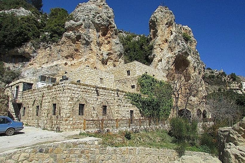
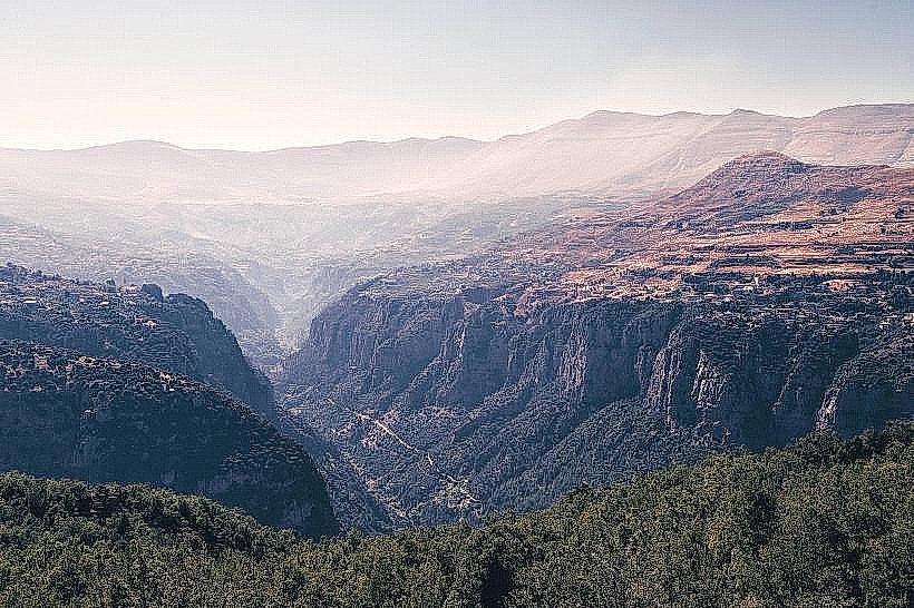
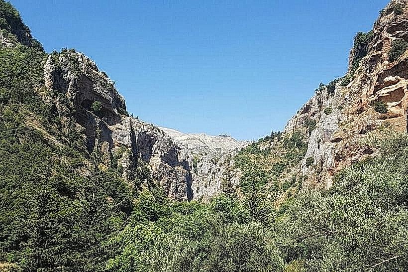
Kadisha Valley (Qannoubine Holy Valley): 6.5km West
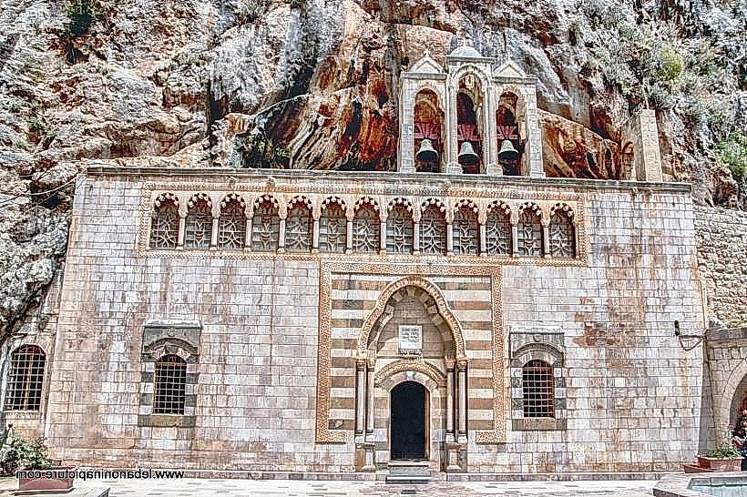
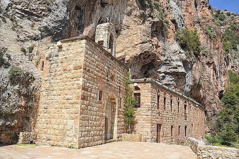
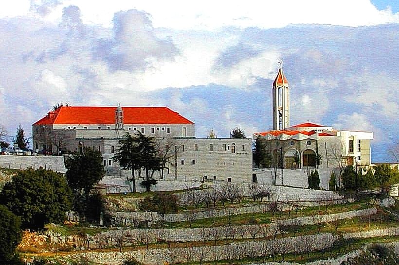
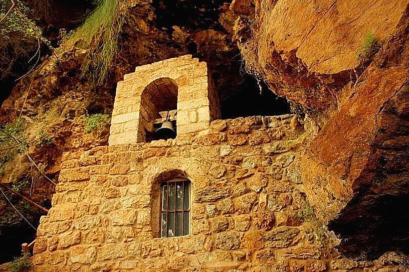
Monastery of Saint Elisha (Deir Mar Licha): 7.2km West
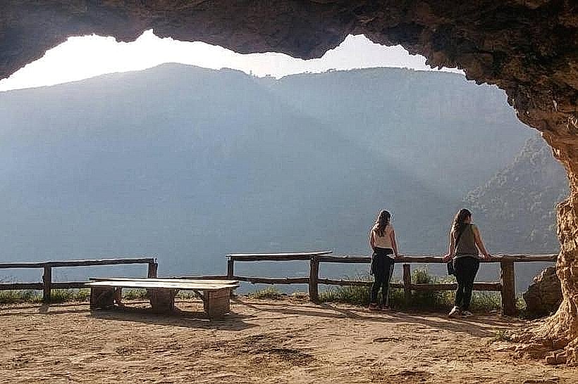
Qadisha Grotto: 1.8km West