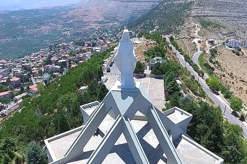
Landmark: Qadisha Valley (Holy Valley)
City: Bcharre
Country: Lebanon
Continent: Asia
Qadisha Valley (Holy Valley), Bcharre, Lebanon, Asia
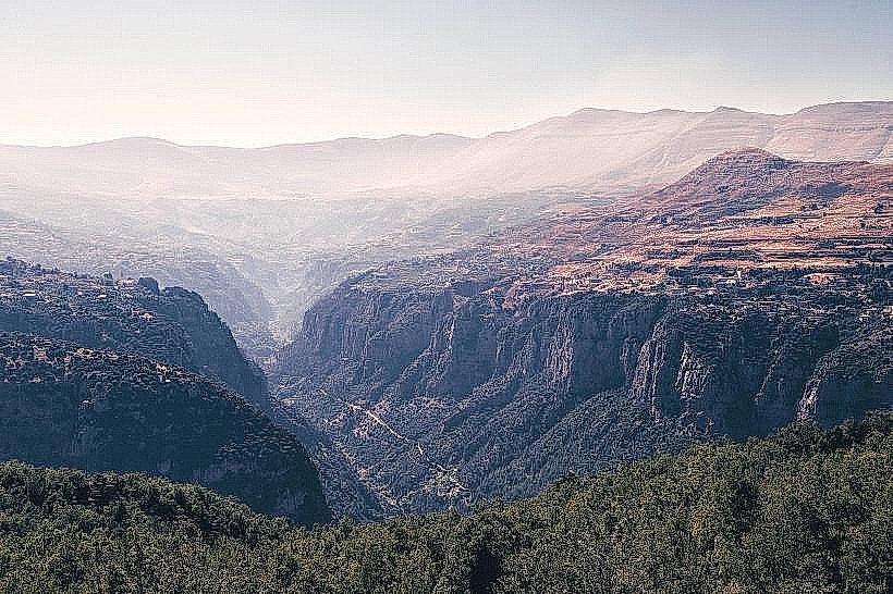
The Qadisha Valley (Wadi Qadisha) is a deep, dramatic canyon carved by the Kadisha River within the Bsharri and Zgharta Districts of the North Lebanon Governorate. It stands as one of the most important early Christian monastic settlements in the world, characterized by its sheer cliffs, historic rock-cut monasteries, and status as a UNESCO World Heritage site.
Visual Characteristics
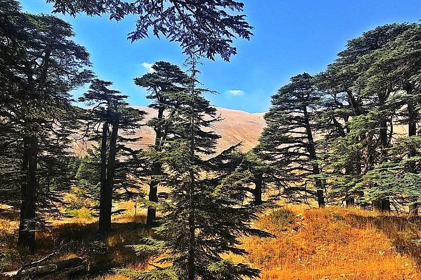
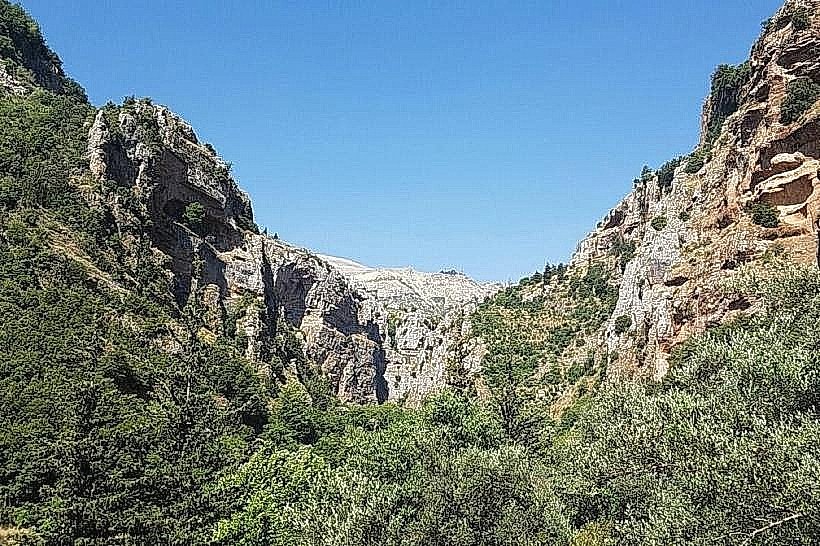
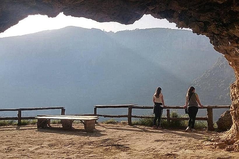
The valley is a rugged, steep-sided gorge defined by vertical limestone cliffs that drop up to 1,000 meters to the valley floor. The terrain features a classic karst topography with numerous natural caves, fissures, and overhanging rock shelves. The vegetation density varies from sparse scrub on the exposed upper rock faces to lush terraced orchards, olive groves, and wild oak forests along the riverbeds and lower slopes. Waterfalls feed into the main river channel during the spring melt, adding to the dynamic hydrology of the canyon.
Location & Access Logistics
The valley is located approximately 110 kilometers northeast of Beirut. Primary access points are via the northern coastal highway to Chekka, then turning inland onto the mountain road ascending toward Bsharri or Ehden. Entering the deep floor of the valley requires descending via narrow, winding asphalt roads from either Blouza or Bsharri, or utilizing pedestrian hiking trails. Limited parking is available near the major monastic sites like Deir Qannoubine or Deir Mar Elisha. Public transport options drop passengers in the clifftop towns of Bsharri or Ehden, requiring private local transport or a strenuous hike to access the valley interior.
Historical & Ecological Origin
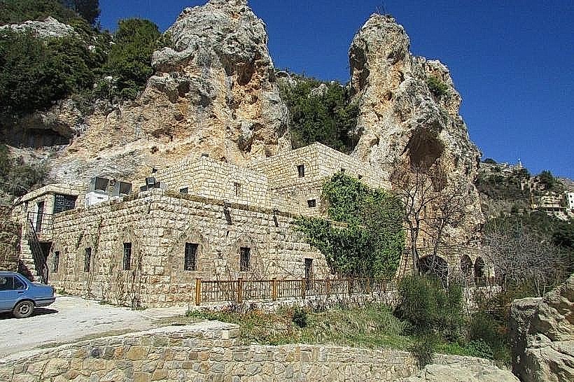
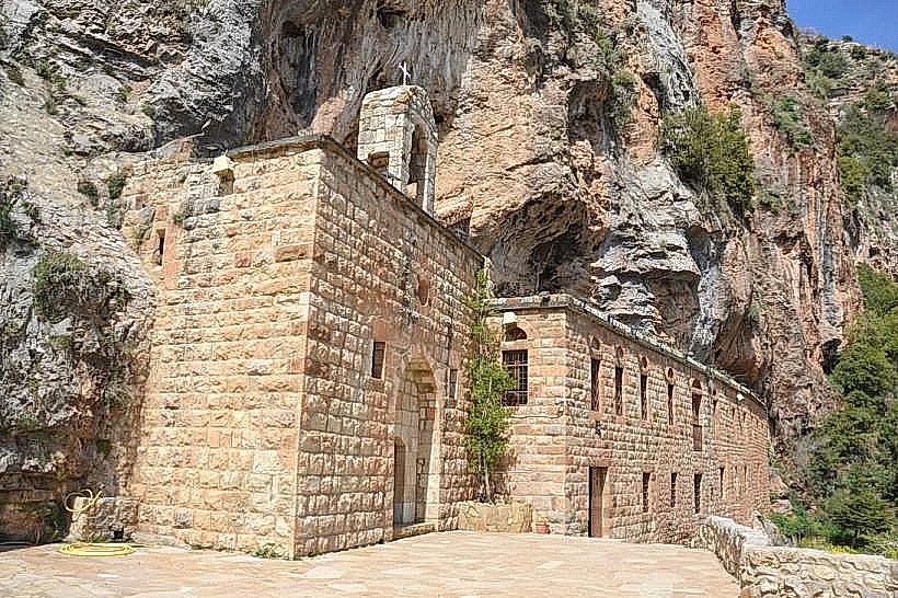
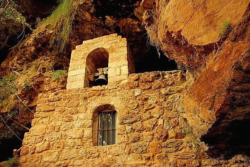
The canyon was formed over millions of years by the erosive action of the Kadisha River cutting through thick layers of Cretaceous limestone. Historically, its extreme isolation made it a natural refuge for religious communities, particularly Maronite Christians fleeing persecution, starting in the 5th century CE. Monks, hermits, and ascetics systematically hollowed out natural caves and built stone chapels directly into the cliff faces, establishing a continuous monastic presence that lasted for over a millennium.
Key Highlights & Activities
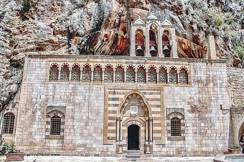
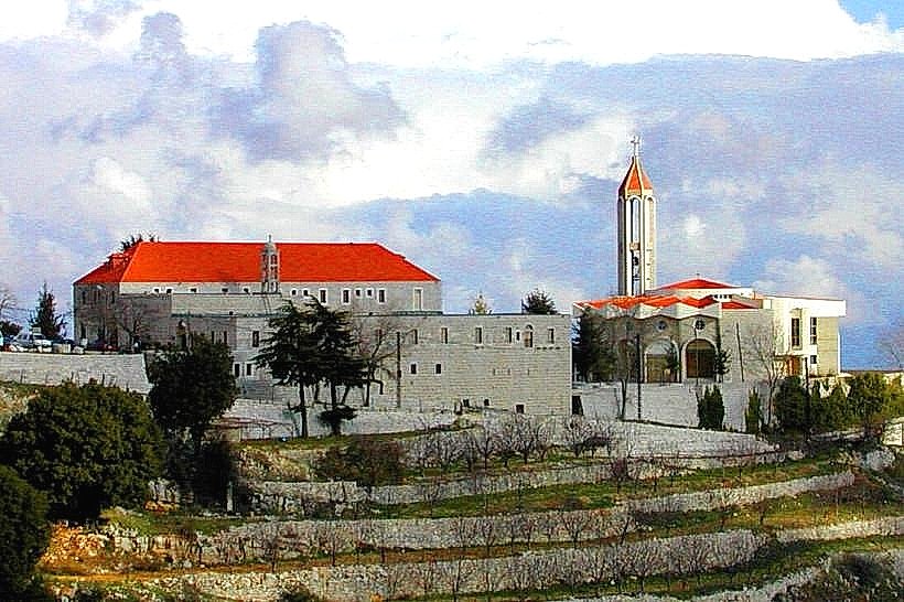
Primary activities focus on long-distance hiking along an established network of dirt tracks and stone paths connecting the valley's historical sites. Visitors can explore the Monastery of Saint Anthony of Qozhaya, Deir Qannoubine, and the rock-cut Monastery of Saint Elisha. Architectural observation of medieval frescoes and rock-hewn hermitages is possible at various cave chapels scattered across the cliffs. The valley floor is also utilized for low-impact ecotourism and river walks.
Infrastructure & Amenities
Infrastructure within the valley is sparse to preserve its natural and historic character. Basic restroom facilities are located inside the main operational monasteries, but there are no public restrooms along the hiking trails. Shade is abundant along the valley floor under tree canopies and cliff overhangs but limited on the upper exposed paths. Cellular signal strength (4G) is operational near the rim of the canyon but drops significantly or disappears entirely within the deep bends and narrow gorges of the valley floor. Small local kiosks operate seasonally near major monastery entrances, while standard dining and lodging are located on the valley rim.
Best Time to Visit
The ideal months for trekking and photography are April through June, when the weather is mild, the valley vegetation is green, and the river and waterfalls are at peak volume from mountain snowmelt. Autumn (September to November) is also favorable for stable hiking conditions. For photography, midday provides the most light to illuminate the deep canyon floor, while early morning and late afternoon create dramatic, high-contrast shadows across the vertical cliff faces.
Facts & Legends
A verified historical oddity is that the Monastery of Saint Anthony of Qozhaya housed the first printing press in the Middle East, imported in the late 16th century, which utilized Syriac script to print liturgical texts for the local mountain communities. Local lore across the valley tells of numerous ascetics who lived out their entire adult lives inside enclosed cliffside hermitages, receiving basic sustenance via ropes lowered from the cliff tops by nearby villagers.
Nearby Landmarks
Monastery of Saint Elisha (Deir Mar Licha): 0.1km East (from the inner valley trailhead)
Gibran Museum: 2.2km East
Qadisha Grotto: 5.2km East
Cedars of God (Arz el-Rab): 6.5km East