Landmark: Horsh Ehden Nature Reserve
City: Bcharre
Country: Lebanon
Continent: Asia
Horsh Ehden Nature Reserve, Bcharre, Lebanon, Asia
The Horsh Ehden Nature Reserve is a protected high-altitude montane forest ecosystem situated on the northwestern upper slopes of Mount Lebanon within the Zgharta District of North Lebanon Governorate. It represents a critical terrestrial biodiversity hotspot containing a significant portion of Lebanon's remaining native flora and serves as a strictly managed state nature reserve.
Visual Characteristics
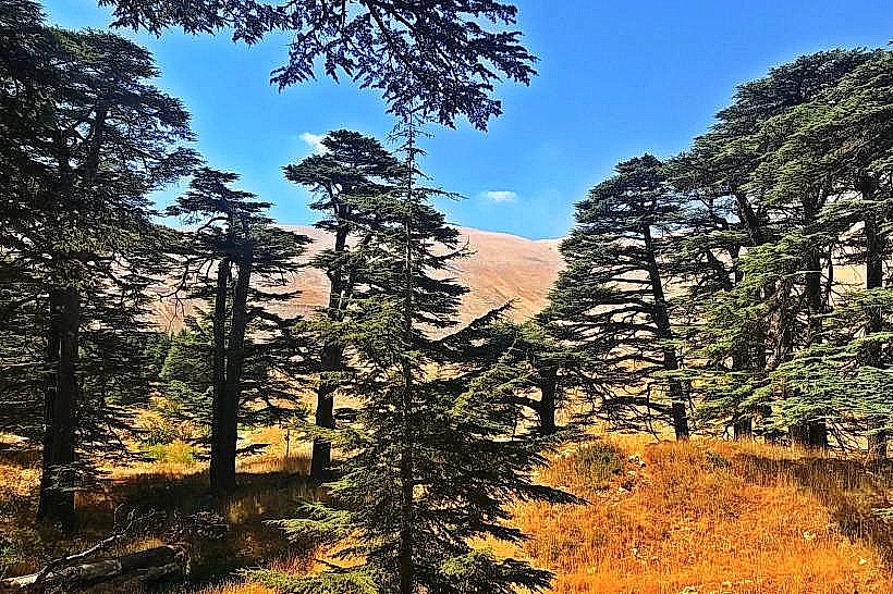
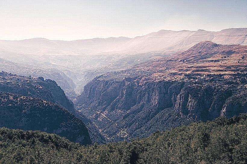
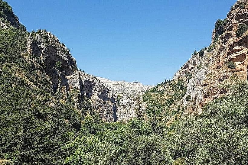
The reserve features a dense, multi-layered canopy composed of mixed coniferous and deciduous tree species, dominating a rugged limestone terrain that ranges in elevation from 1,200 to 1,700 meters above sea level. The landscape is defined by steep karst mountain slopes, sharp limestone rock outcrops, and narrow ravines filled with dark organic topsoil. The vegetation display changes dynamically with the seasons, transitioning from deep greens in the summer months to a varied palette of reds and yellows during autumn, and completely white during winter when heavy snow packs cover the mountain ridges.
Location & Access Logistics
The reserve is located approximately 100 kilometers northeast of Beirut and 5 kilometers east of the mountain town of Ehden. Access from Beirut is via the northern coastal highway to Chekka, turning inland onto the regional highway ascending through Amioun and Kousba toward Ehden. From the main square of Ehden, a paved municipal road leads directly up to the main northern entrance gate at Ayn al-Naas. A dedicated unpaved parking area is positioned at the entrance checkpoint, where visitors must register. Public transport is unavailable directly to the reserve gate; intercity buses run to Ehden, from where private local taxis must be hired to travel the final 5 kilometers.
Historical & Ecological Origin
The forest area was historically part of the vast ancient cedar and oak forests that covered the entire Mount Lebanon range during antiquity. It was officially declared a protected state nature reserve by the Lebanese Parliament under Law Number 121 in March 1992 to halt illegal logging and grazing. Geologically, the reserve sits on a complex Middle Cretaceous limestone formation characterized by high water permeability, which feeds multiple sub-surface aquifers and natural mountain springs within the immediate watershed.
Key Highlights & Activities
Primary activities focus on low-impact ecotourism and scientific field observation along an established network of color-coded hiking trails. Visitors can trek through the Ain el-Nafsa Trail or the Cilicia Trail to observe native Lebanon Cedars (Cedrus libani), rare Cilician Firs (Abies cilicica), and wild endemic orchids. Birdwatching is prominent, as the reserve serves as a vital corridor for migratory raptors and soaring birds. General hiking is strictly restricted to designated footpaths, and picking flora, camping, or lighting fires is legally prohibited.
Infrastructure & Amenities
The main entrance pavilion contains an administrative office, a small eco-information desk, and public restroom facilities. Paved stone seating and clear directional signage are located at the trailheads, but the interior paths remain unpaved and primitive to protect root systems. Cellular network coverage (4G) is operational at the main gate but becomes highly unstable or drops completely inside the deep forested ravines and northern valleys. No commercial food or beverage vendors operate inside the protected zone, requiring visitors to carry independent water supplies and travel 5 kilometers back to Ehden for dining infrastructure.
Best Time to Visit
The optimal months for hiking and photography are from May to October when the trail conditions are completely dry and mountain visibility is clear. Autumn (October and November) provides optimal lighting and color contrast due to the foliage transformation of the deciduous trees. The spring season (April and May) is ideal for viewing the blooming of wild alpine flowers and the peak flow of local springs. The winter period from December to March experiences deep snow accumulation, closing the trails to standard hiking and requiring snowshoes.
Facts & Legends
A verified ecological fact is that Horsh Ehden represents the southernmost latitudinal limit for the natural survival and growth of the Cilician Fir (Abies cilicica) on the Eurasian continent, making the forest a vital sanctuary for global botanical research. Local historical records indicate that during the Ottoman period, the local inhabitants of Ehden formed a civic defense compact to manually guard the forest borders against woodcutters from neighboring regions, establishing an early form of community-led environmental conservation.
Nearby Landmarks
Old Souk of Ehden (Midane): 4.5km West
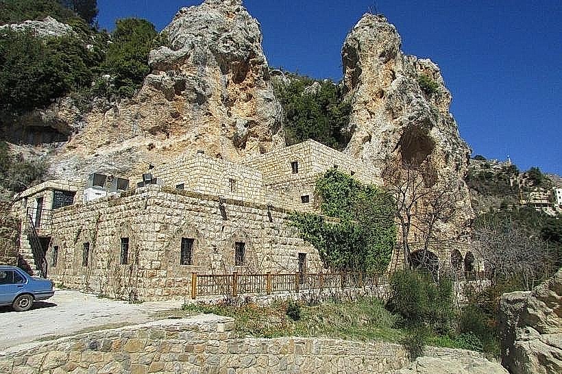
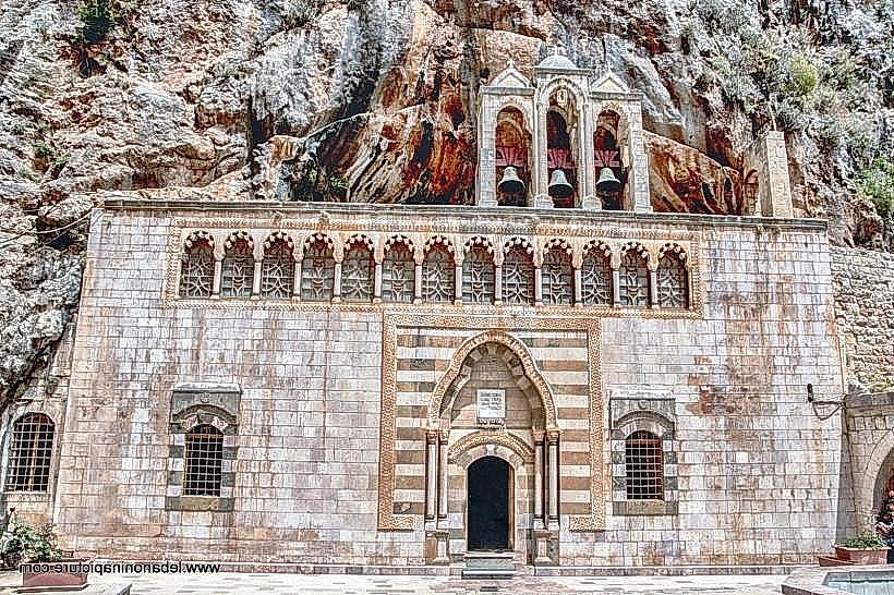
Monastery of Qozhaya: 3.8km Southwest
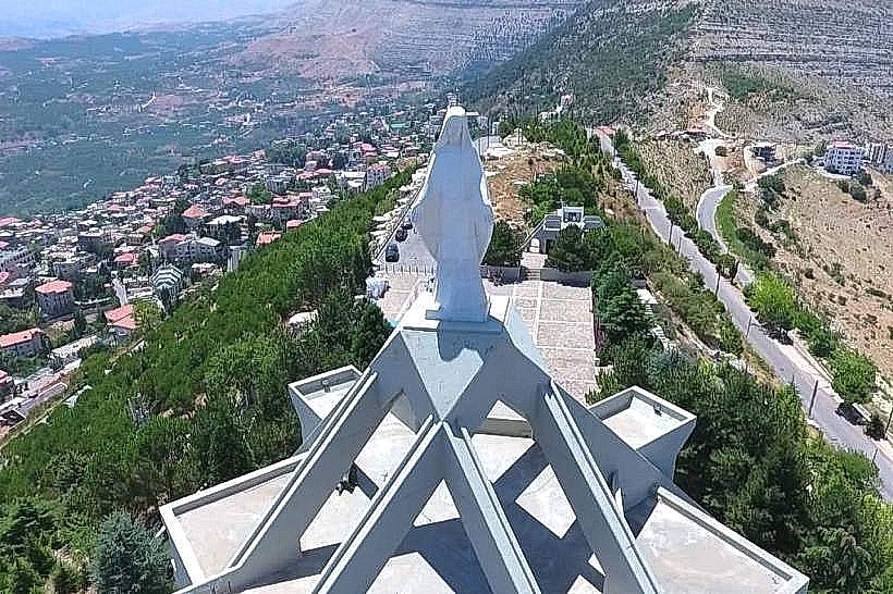
Saydet el-Hosn Church (Our Lady of the Fortress): 5.0km West
Mar Sarkis Spring (Ras el-Ain): 4.2km West