Landmark: Doi Ang Khang
City: Gulf of Thailand
Country: Thailand
Continent: Asia
Doi Ang Khang, Gulf of Thailand, Thailand, Asia
Doi Ang Khang is a mountain located in the Fang District of Chiang Mai Province, Thailand, within the broader geographical context of the northern Thai highlands.
Visual Characteristics
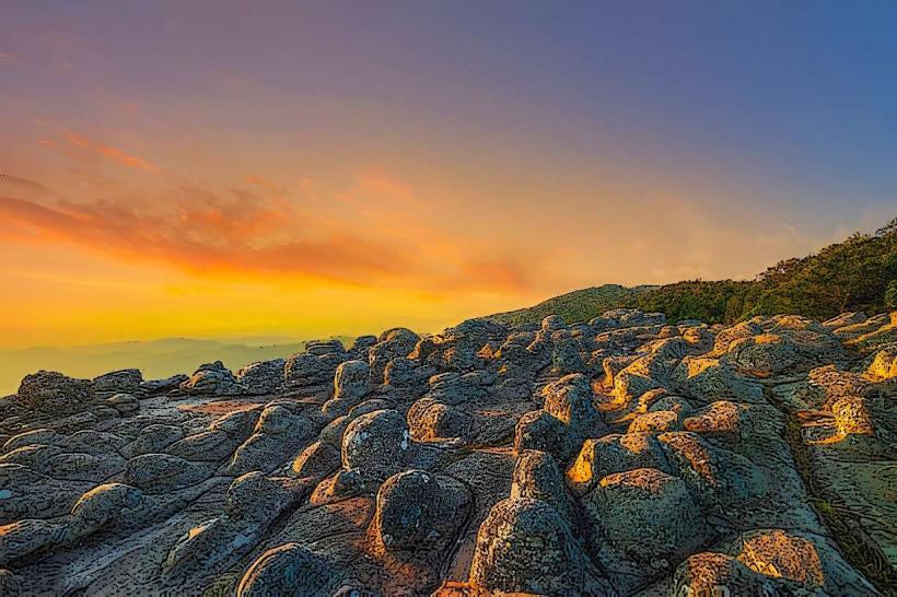
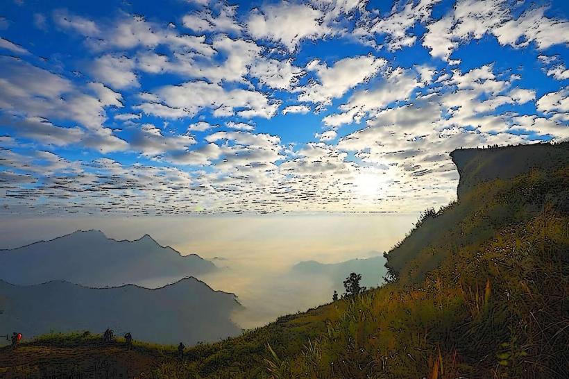
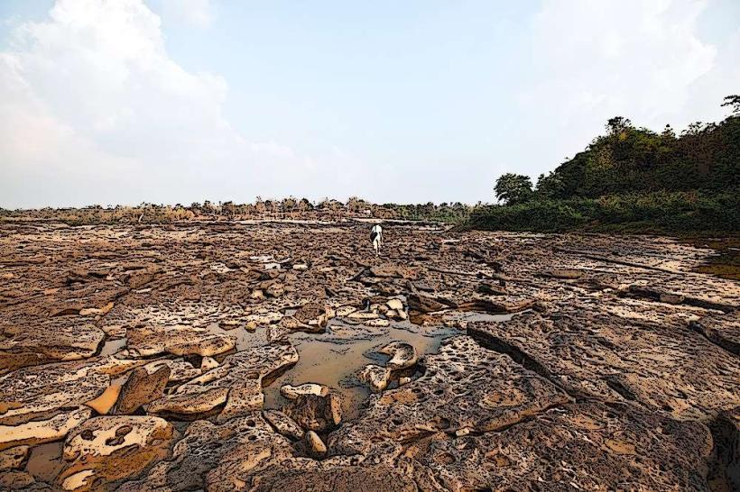
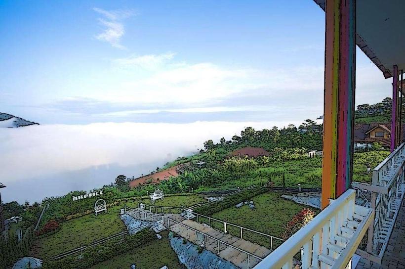
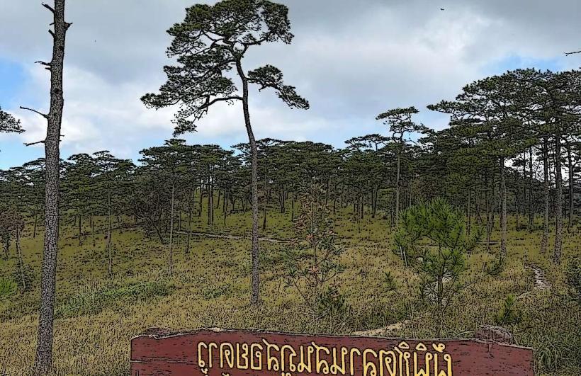
The mountain features steep slopes covered in mixed deciduous and evergreen forests. At higher elevations, pine trees are prevalent. The summit area is characterized by rolling hills and agricultural terraces. Average elevation is approximately 1,900 meters above sea level. The Royal Agricultural Station Doi Ang Khang is situated on the plateau.
Location & Access Logistics
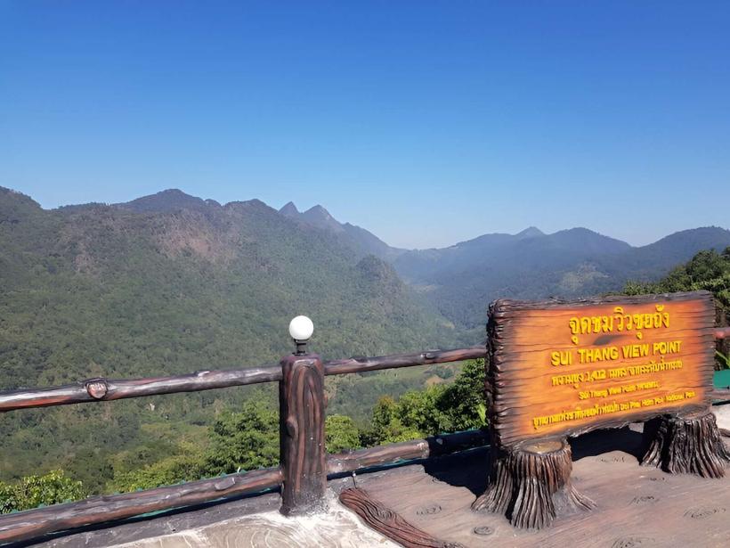
Doi Ang Khang is situated approximately 160 kilometers north of Chiang Mai city. Access is via Highway 107 north towards Mae Ai, then turning onto Highway 1178 towards Ban Arunothai. The final 20 kilometers to the summit are a steep, winding paved road. Private vehicles are recommended. Limited parking is available at the Royal Agricultural Station and designated viewpoints. Public transport to the base of the mountain is available to Fang town, with local songthaews (shared taxis) operating to the summit, though schedules can be infrequent.
Historical & Ecological Origin
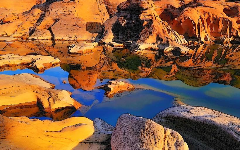
Doi Ang Khang's geological formation is part of the Thai highlands, characterized by sedimentary and metamorphic rocks. The area was historically inhabited by ethnic minority groups. In 1952, the Royal Agricultural Station Doi Ang Khang was established by King Bhumibol Adulyadej to research and promote agricultural development, including the cultivation of temperate fruits and vegetables, and to discourage opium cultivation.
Key Highlights & Activities
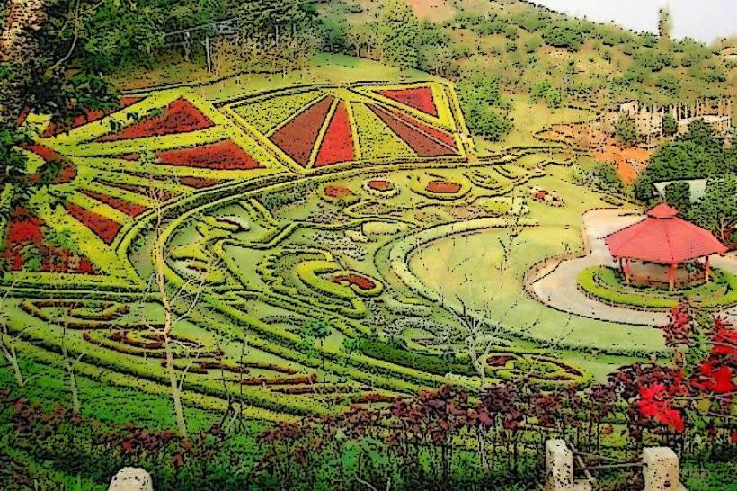
Visitors can explore the Royal Agricultural Station Doi Ang Khang, observing experimental plots and greenhouses. Hiking trails are available, including routes to viewpoints and the summit. Birdwatching is a popular activity due to the diverse avian population. Photography of the agricultural terraces and mountain landscapes is common. Seasonal flower gardens are maintained by the station.
Infrastructure & Amenities
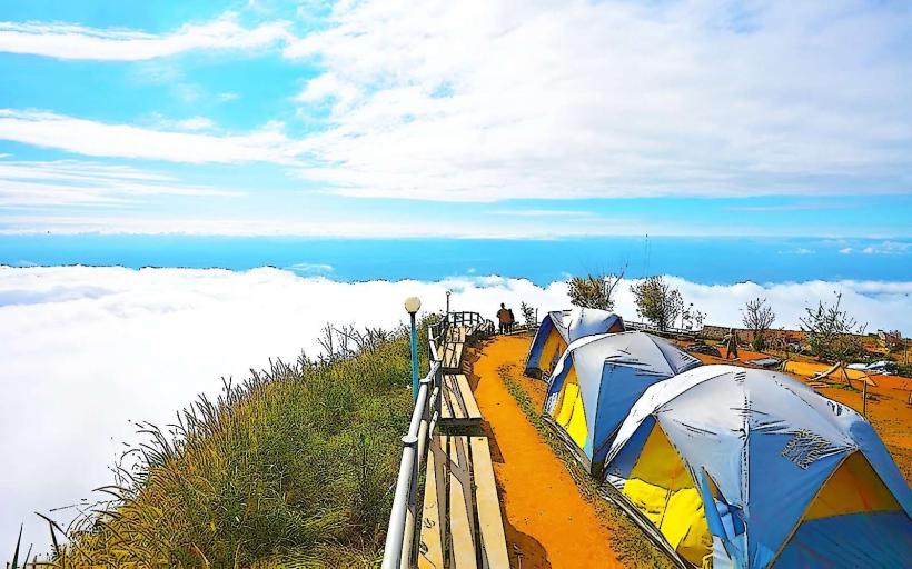
Restrooms are available at the Royal Agricultural Station and designated rest stops. Shade is provided by trees and some covered viewing areas. Cell phone signal (4G) is generally available in the vicinity of the Royal Agricultural Station, but can be intermittent on trails. Food vendors are present near the Royal Agricultural Station, offering local dishes and snacks. Accommodation options include guesthouses and bungalows on the mountain.
Best Time to Visit
The cool, dry season from November to February offers the most pleasant weather, with daytime temperatures ranging from 15-25 degrees Celsius. Mornings and evenings can be significantly cooler. For photography, early morning light provides soft illumination on the landscapes and terraces. The rainy season (June-October) can bring heavy downpours, impacting road conditions and visibility.
Facts & Legends
A notable fact is the successful introduction and cultivation of various temperate climate crops, such as strawberries, peaches, and coffee, which were previously not viable in Thailand's tropical climate. The area is also known for its unique microclimate, allowing for the growth of plants typically found in much cooler regions.
Nearby Landmarks
- Royal Project Foundation Doi Pha Tang (15km Northeast)
- Mae Ai Hot Springs (25km Southwest)
- Doi Mae Salong (40km West)
- Phu Chi Fa (50km East)