Landmark: Phu Hin Rong Kla National Park
City: Gulf of Thailand
Country: Thailand
Continent: Asia
Phu Hin Rong Kla National Park, Gulf of Thailand, Thailand, Asia
Phu Hin Rong Kla National Park is a protected area located in the Phetchabun Mountains of Thailand, within the broader geographical region of the Gulf of Thailand.
Visual Characteristics
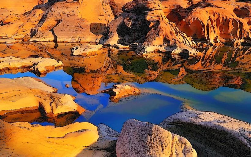
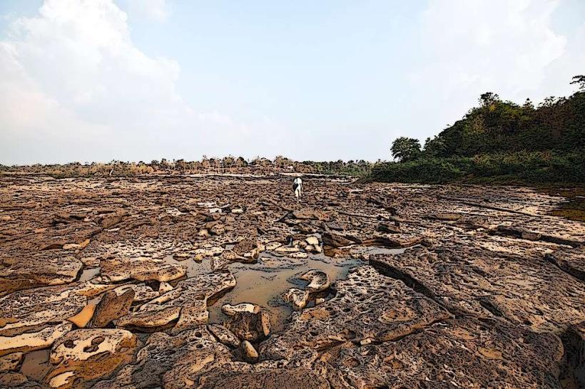
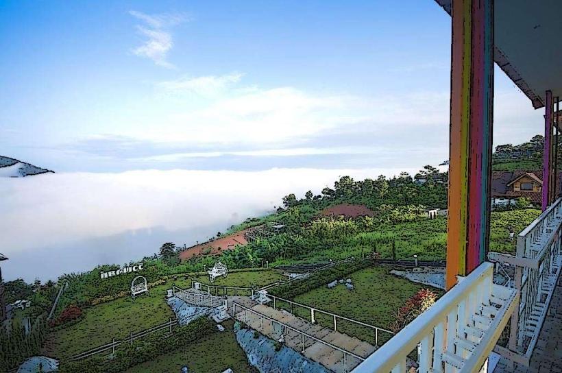
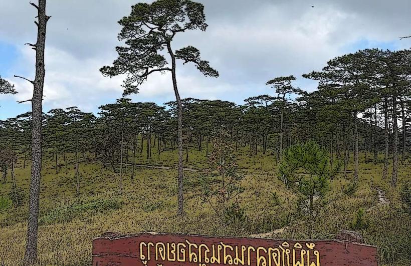
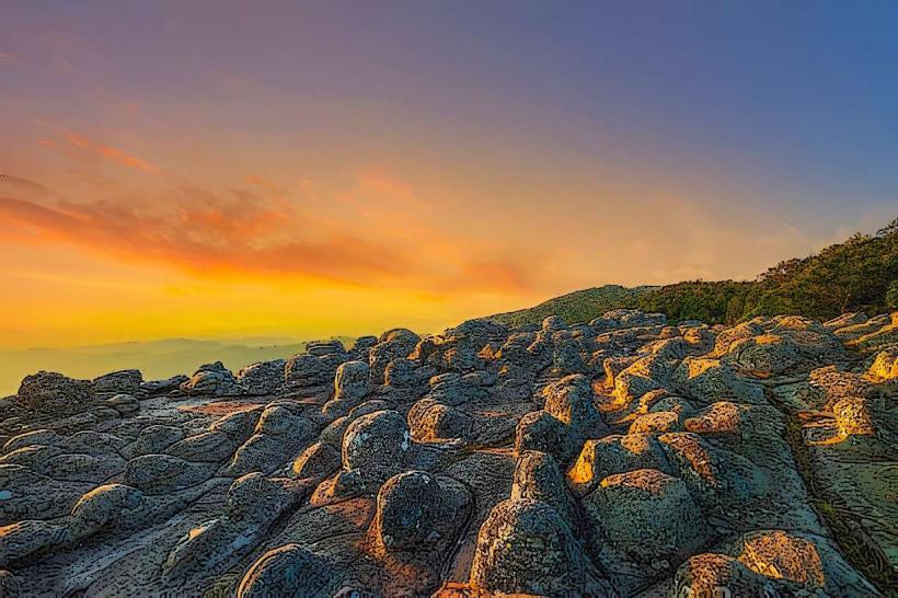
The park features significant rock formations, including large, weathered sandstone outcrops that create natural shelters and unique geological shapes. Vegetation is primarily dry evergreen forest and mixed deciduous forest, with areas of grassland on higher plateaus. Elevation ranges from approximately 1,000 to 1,700 meters above sea level.
Location & Access Logistics
The park is situated approximately 100 kilometers west of Phitsanulok city. Access is via Highway 2013, which leads directly to the park entrance. Paved roads within the park connect major points of interest. Parking is available at designated visitor areas and trailheads. Public transport options to the park are limited; hiring a private vehicle or joining a tour from Phitsanulok is the most common method of access.
Historical & Ecological Origin
Phu Hin Rong Kla was declared a national park in 1984. Historically, it served as a major base for the Communist Party of Thailand during the 1970s and early 1980s, with remnants of this period, such as former living quarters and a hospital, still visible. Ecologically, the area is characterized by its high-altitude plateau and karst-like sandstone formations, indicative of ancient geological processes.
Key Highlights & Activities
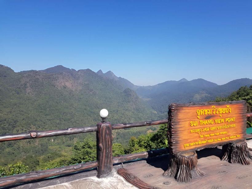
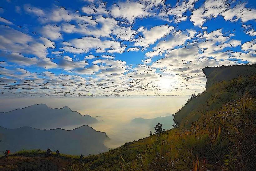
Activities include exploring the rock formations such as Hin Yaang, Hin Mak, and Lan Hin Taek. Visitors can walk through former communist hideouts and learn about the site's history. Hiking trails are available, including routes to viewpoints and waterfalls. Photography of the unique geological features is a common activity.
Infrastructure & Amenities
Basic visitor facilities are present, including a park headquarters with information services. Restrooms are available at the headquarters and some key sites. Shade is provided by forest canopy in many areas. Cell phone signal (3G/4G) is intermittent and generally weak within the park. Food vendors are not typically found within the park itself; visitors should bring their own provisions or eat in nearby towns.
Best Time to Visit
The dry season, from November to April, offers the most favorable weather conditions. The cool season (November to February) provides pleasant temperatures for outdoor activities. Early morning and late afternoon offer optimal lighting for photography of the rock formations.
Facts & Legends
A notable historical oddity is the presence of a former "re-education" camp and hospital, now preserved as historical exhibits. Local lore sometimes speaks of spirits guarding the ancient rock formations.
Nearby Landmarks
- Phu Soi Dao National Park (15km Northwest)
- Wat Phra Si Rattana Mahathat (Phitsanulok) (95km Southeast)
- Sukhothai Historical Park (130km Southwest)
- Sri Satchanalai Historical Park (150km Southwest)