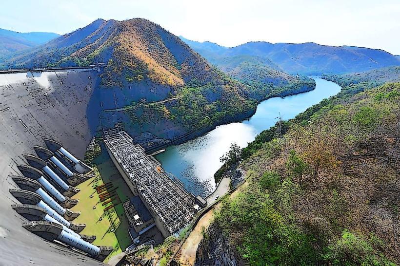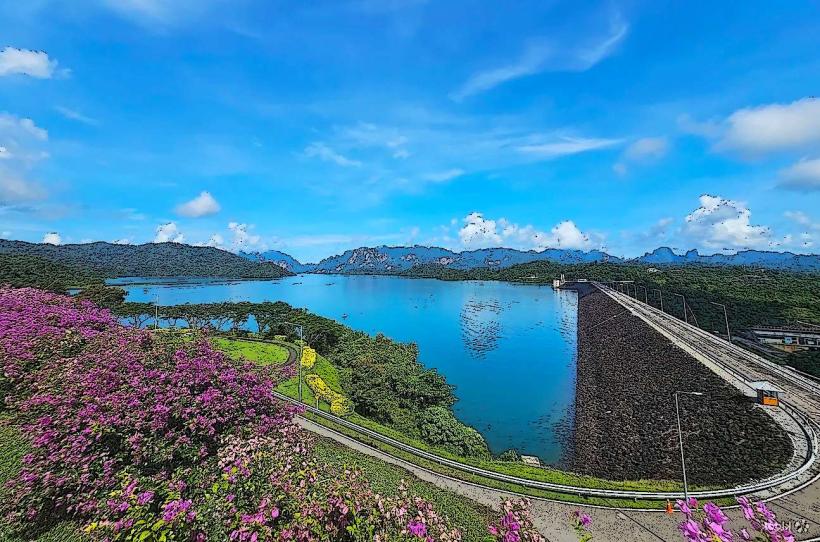
Landmark: Sirikit Dam
City: Gulf of Thailand
Country: Thailand
Continent: Asia
Sirikit Dam, Gulf of Thailand, Thailand, Asia
Sirikit Dam is a large rockfill dam located in Uttaradit Province, Thailand, on the Nan River.
It serves as a significant water management facility for irrigation and hydroelectric power generation in the region.
Visual Characteristics
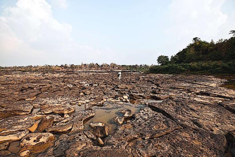
The dam structure is composed of rockfill and earth, with a crest length of 1,129 meters and a maximum height of 113 meters. The reservoir behind the dam, known as the Sirikit Reservoir, is a substantial body of water with an irregular shoreline, surrounded by forested hills. The water color varies depending on sediment load but is generally a muted green or brown.
Location & Access Logistics
Sirikit Dam is situated approximately 60 kilometers north of Uttaradit City. Access is via Highway 1047 (Nan-Uttaradit Road), turning off onto local roads leading directly to the dam site. Ample parking is available at designated areas near the dam's administrative buildings and visitor viewpoints. Public transport options to the dam are limited; local buses operate between Uttaradit City and nearby towns, requiring onward travel by taxi or songthaew.
Historical & Ecological Origin
Construction of Sirikit Dam began in 1955 and was completed in 1964. It was designed by the Royal Irrigation Department of Thailand. The dam's primary purpose was to control the Nan River's flow for irrigation of agricultural lands downstream and to generate hydroelectric power. The reservoir inundates a significant area of the Nan River valley, altering the local ecosystem.
Key Highlights & Activities
Visitors can observe the dam's operational structure from designated viewpoints. Boat tours on the Sirikit Reservoir are available, offering views of the surrounding landscape and the dam from the water. Fishing is permitted in designated areas of the reservoir. The area around the dam is suitable for birdwatching.
Infrastructure & Amenities
Restrooms are available at the visitor center and parking areas. Shaded seating areas are provided at some viewpoints. Cell phone signal (4G) is generally available within the vicinity of the dam facilities. Food vendors are typically present near the main visitor access points, offering local snacks and meals.
Best Time to Visit
The best time of day for photography is generally in the late afternoon when the sun is lower, providing softer light on the dam structure and reservoir. The dry season, from November to April, offers the most stable weather conditions. Water levels in the reservoir are highest after the rainy season (typically September-October).
Facts & Legends
A notable historical oddity is that Sirikit Dam was named in honor of Queen Sirikit, the Queen Mother of Thailand. The dam's construction involved significant land acquisition and relocation of communities from the valley that was to be flooded.
Nearby Landmarks
- Wat Phra That Suthon Mongkhon Khiri (15km Southwest)
- Phra Borommathat Thung Yang (25km South)
- Nan National Museum (60km North)
- Wat Phumin (60km North)
- Doi Phu Kha National Park (70km Northeast)