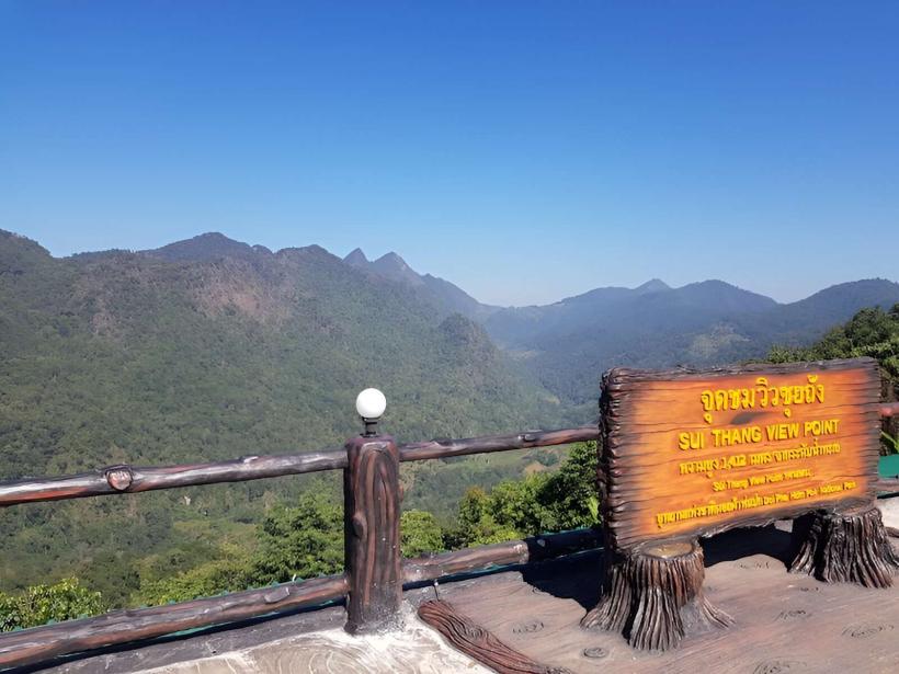
Landmark: Khao Kho Viewpoint
City: Gulf of Thailand
Country: Thailand
Continent: Asia
Khao Kho Viewpoint, Gulf of Thailand, Thailand, Asia
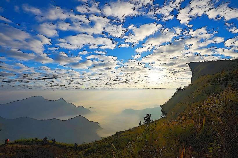
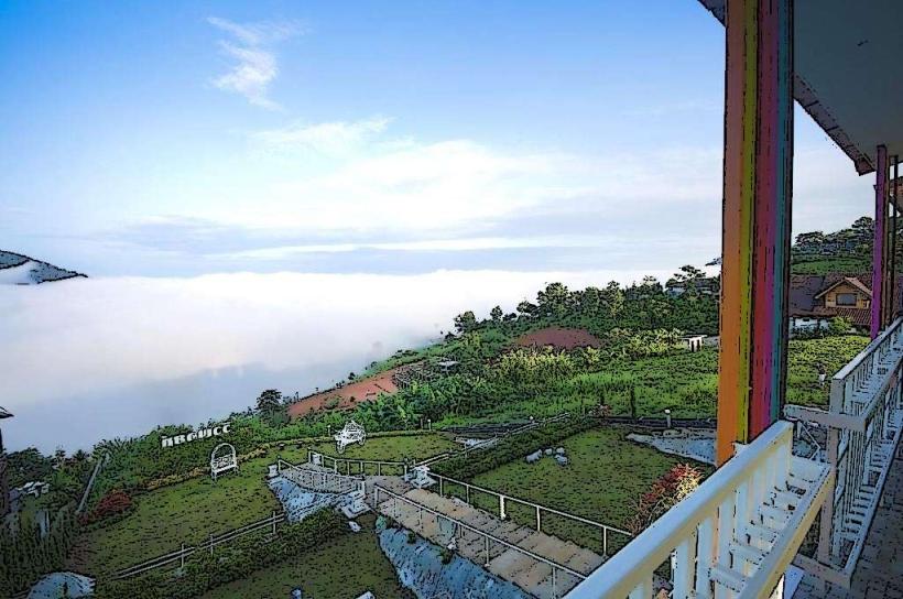
Khao Kho Viewpoint is a designated observation area located in Phetchabun Province, Thailand, offering panoramic vistas of the surrounding mountainous terrain.
This location serves as a primary point for observing the landscape of Khao Kho, a region characterized by its elevated topography and agricultural terraces.
Visual Characteristics
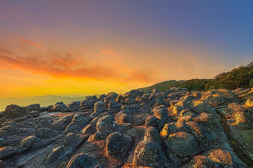
The viewpoint itself is a paved platform with a low-rise concrete barrier. The surrounding landscape consists of steep, verdant hills covered in dense tropical vegetation. During cooler months, mist frequently blankets the valleys, obscuring the lower elevations. The dominant colors are shades of green from the foliage, with grey and brown visible in exposed rock faces and soil. The sky is typically blue during clear periods, often punctuated by white cumulus clouds.
Location & Access Logistics
Khao Kho Viewpoint is situated approximately 15 kilometers west of the town of Khao Kho. Access is via Highway 203 (Phetchabun-Lomsak Road). From the town of Khao Kho, turn onto Route 1057 (Phu Thap Boek Road) and proceed for approximately 5 kilometers. The viewpoint is clearly signposted on the right side of the road. Parking is available in a designated gravel lot adjacent to the viewpoint, with capacity for approximately 30 vehicles. Public transport directly to the viewpoint is limited; however, local songthaews (shared taxis) operate from Khao Kho town and can be hired for transport to the site.
Historical & Ecological Origin
The area's development as a viewpoint is relatively recent, stemming from its strategic location offering expansive views. Ecologically, Khao Kho is part of the Phetchabun mountain range, characterized by its subtropical highland climate. The vegetation is primarily evergreen and deciduous forest, with significant areas converted to agriculture, including coffee and fruit plantations, at lower elevations. The geological formation consists of sedimentary rock and sandstone, shaped by erosion over millennia.
Key Highlights & Activities
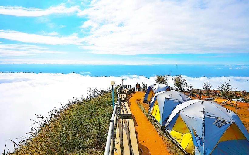
Observation of the valley landscape and cloud formations. Photography of sunrise and sunset. Walking along the paved viewing platform. Purchasing local produce and souvenirs from nearby stalls.
Infrastructure & Amenities
Restrooms are available at the viewpoint. Limited shade is provided by a few strategically placed awnings. Cell phone signal (4G) is generally available. Several small food vendors and souvenir stalls are located adjacent to the viewpoint, offering local snacks and drinks.
Best Time to Visit
For photography, early morning (06:00-08:00) offers soft light and potential mist. Late afternoon (16:00-18:00) provides favorable lighting for landscape shots. The best months for clear weather and reduced rainfall are November through February. During the rainy season (June-October), mist is more prevalent, which can obscure views but offers a unique atmospheric effect.
Facts & Legends
A local belief suggests that on exceptionally clear mornings, one can see the distant peaks of Phu Kradueng National Park, over 100 kilometers away, though this is unverified and dependent on atmospheric conditions.
Nearby Landmarks
- Phu Thap Boek (7km Northwest)
- Wat Phra That Pha Sorn Kaew (12km Southeast)
- Khao Kho National Park Visitor Center (10km Southwest)
- Queen Sirikit Park (15km Southwest)