Landmark: Kaeng Tana National Park
City: Gulf of Thailand
Country: Thailand
Continent: Asia
Kaeng Tana National Park, Gulf of Thailand, Thailand, Asia
Kaeng Tana National Park is a protected area located in the Ubon Ratchathani Province of northeastern Thailand, bordering Laos.
Visual Characteristics
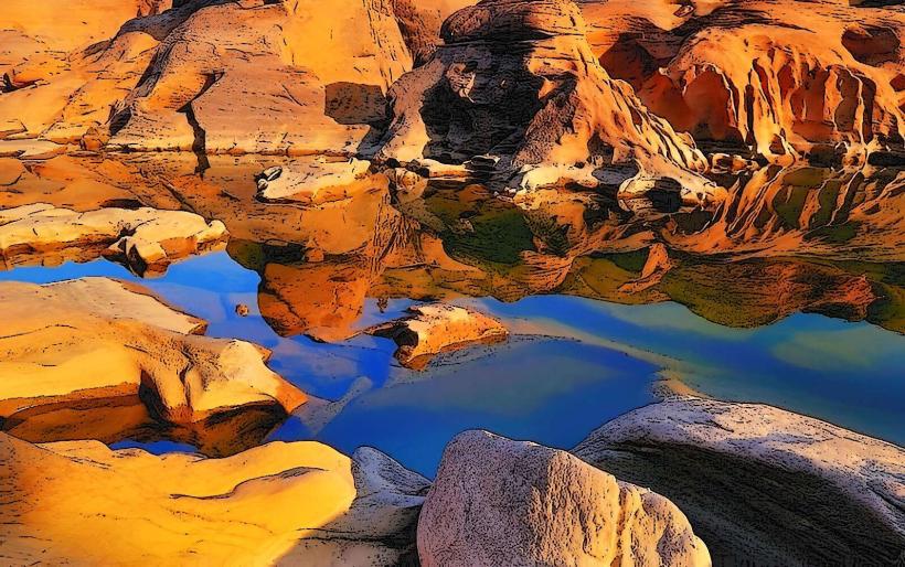
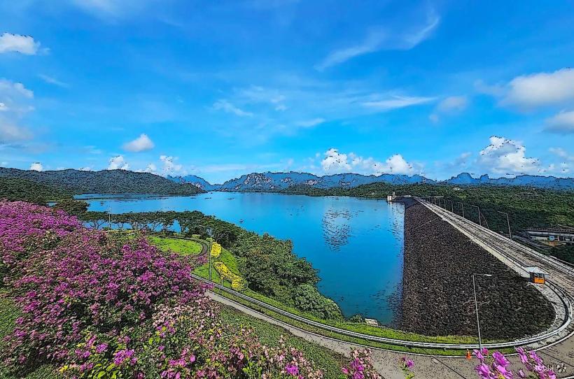
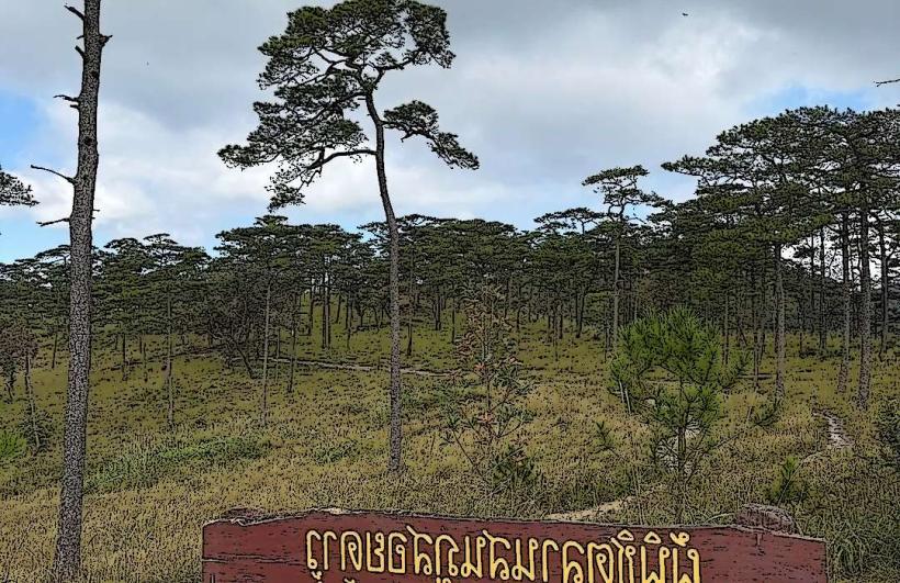
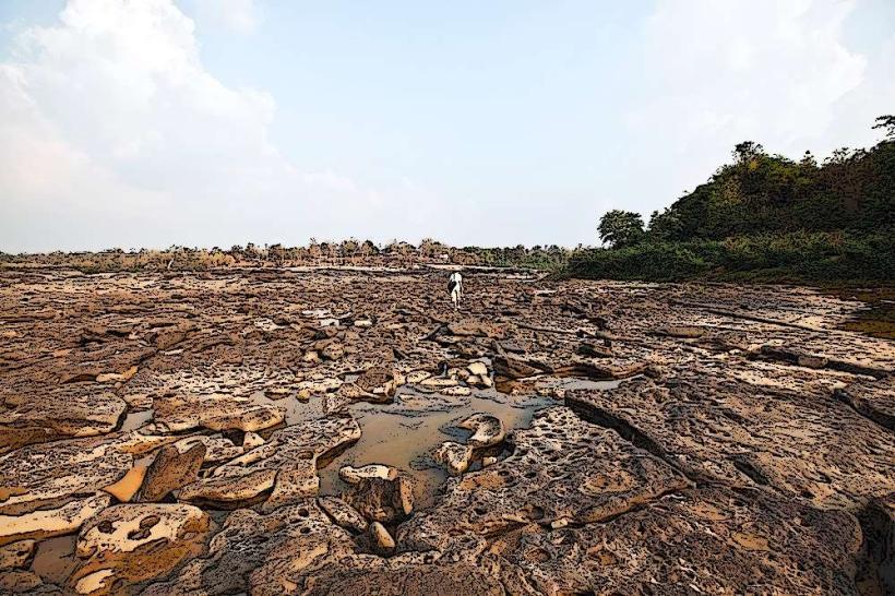
The park features a significant portion of the Mekong River, characterized by rapids and rocky outcrops. The riverbanks are lined with dense deciduous forests and mixed evergreen forests. During the dry season, exposed sandbars and rock formations become prominent within the riverbed. The dominant vegetation includes teak, bamboo, and various species of dipterocarps.
Location & Access Logistics
Kaeng Tana National Park is situated approximately 60 kilometers north of Ubon Ratchathani city. Access is via Highway 2112 (Phon Thong - Khong Chiam Road). Turn off at the sign for Kaeng Tana National Park. Parking is available at the park headquarters. Public transport options include local buses from Ubon Ratchathani to Khong Chiam, from where a short taxi or songthaew ride can reach the park entrance.
Historical & Ecological Origin
The park was established as a national park on October 6, 1981. Its geological significance lies in the Mekong River's course, which has carved through sedimentary rock formations over millennia, creating the characteristic rapids and islands. Ecologically, it is part of the Indochinese dry deciduous forests ecoregion.
Key Highlights & Activities
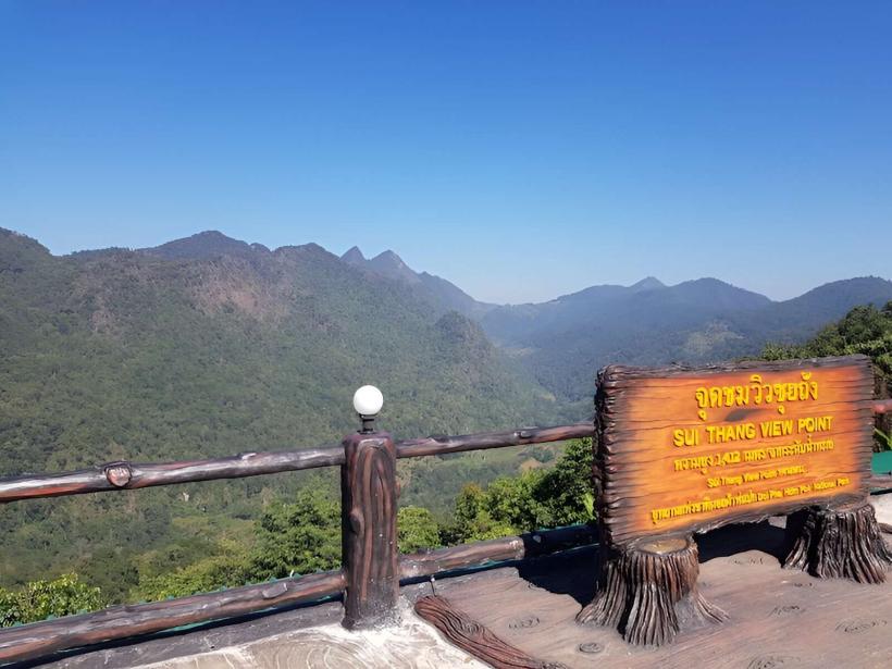
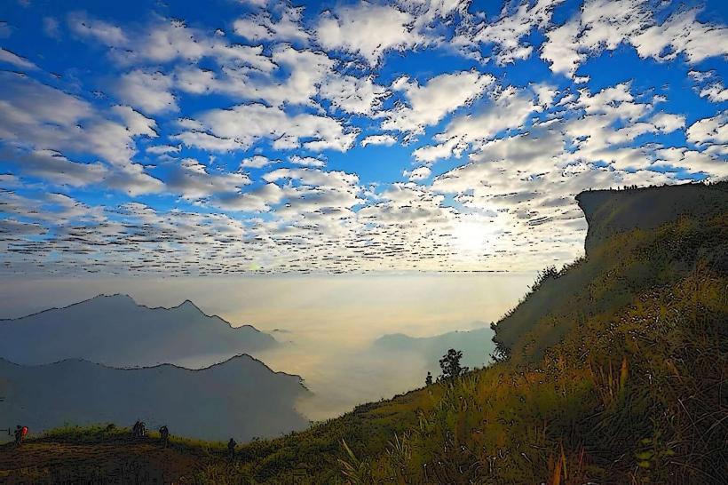
Observation of the Mekong River rapids at Kaeng Tana is the primary activity. Boat tours are available to navigate through the calmer sections and observe the rock formations. Hiking trails are present, offering access to forest viewpoints. Birdwatching is also a notable activity due to the diverse avian population.
Infrastructure & Amenities
Restrooms are available at the park headquarters and designated viewpoints. Shade is provided by natural tree cover in forested areas and some covered seating at viewpoints. Cell phone signal (4G) is generally available near the park headquarters and main access roads. Food vendors are typically found near the park entrance and at the main viewpoint area.
Best Time to Visit
The best time for photography of the rapids is during the dry season (November to April) when water levels are lower, exposing more rock formations. The period from December to February offers pleasant temperatures. High tide is not a specific requirement for viewing the rapids; however, water levels fluctuate seasonally, impacting the visibility and intensity of the rapids.
Facts & Legends
A local legend states that the rapids are caused by a giant mythical serpent that resides in the river. A verifiable fact is that the Mekong River at Kaeng Tana is one of the few locations where the riverbed is significantly obstructed by rock, creating a natural dam-like effect.
Nearby Landmarks
- Sop Khong Viewpoint - 2km Southwest
- Phu Chong Yod National Park - 15km Southeast
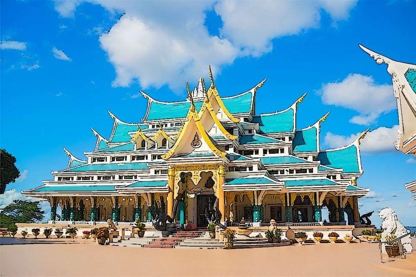
- Wat Sirindhorn Phu Prao (Temple of Light) - 25km West
- Khong Chiam Market - 10km South
- Pha Taem National Park - 30km East