Landmark: Phu Soi Dao National Park
City: Gulf of Thailand
Country: Thailand
Continent: Asia
Phu Soi Dao National Park, Gulf of Thailand, Thailand, Asia
Phu Soi Dao National Park is a protected area situated in the northern region of Thailand, bordering Laos.
Visual Characteristics
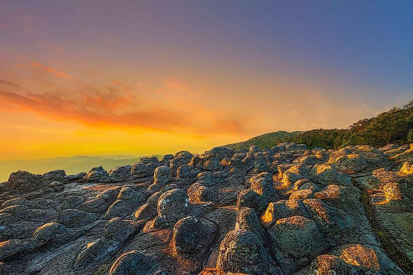
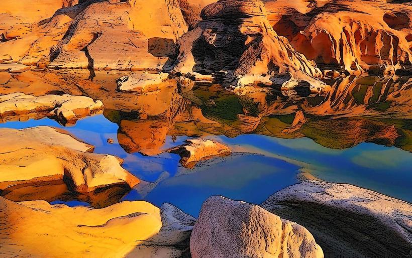
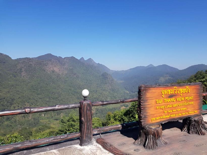
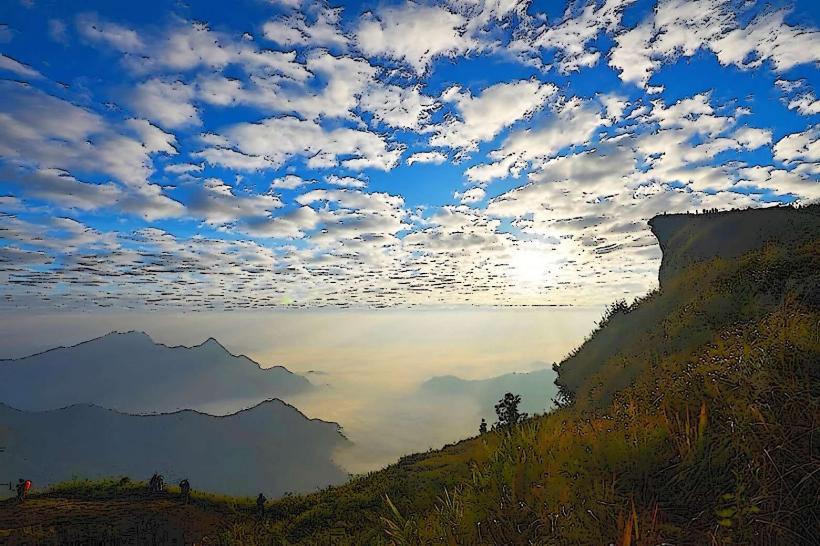
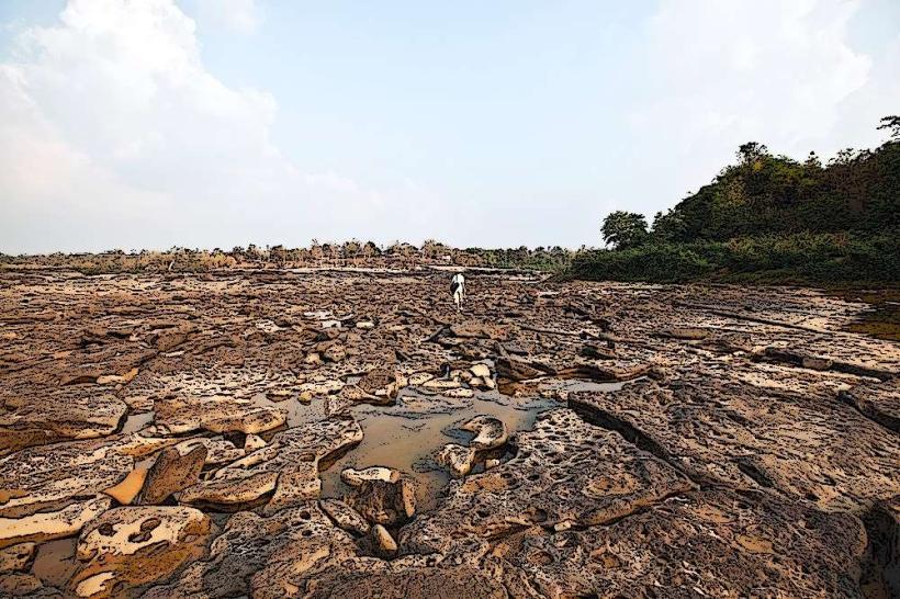
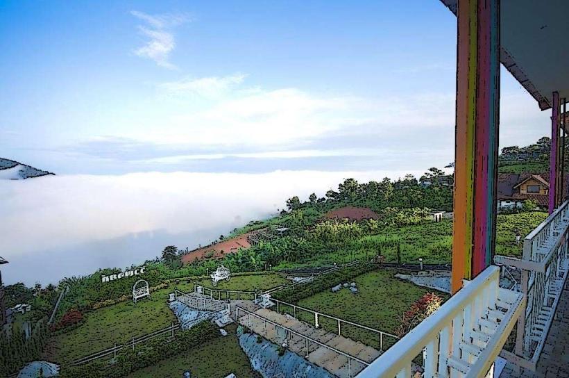
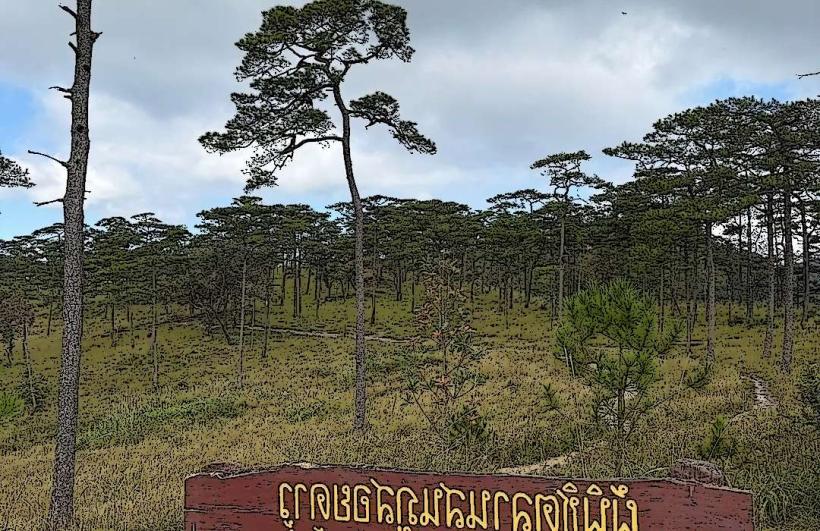
The park features mountainous terrain with elevations reaching up to 2,102 meters at Phu Soi Dao peak. Vegetation consists of mixed deciduous forests and evergreen forests, with significant areas of grassland on higher plateaus. During the rainy season, numerous small waterfalls and streams are active.
Location & Access Logistics
The park entrance is located approximately 100 kilometers north of Phitsanulok city. Access is via Highway 11, then turning onto Highway 1203 towards Ban Nam Dip. The final 15 kilometers to the park headquarters are unpaved and may require a 4WD vehicle, especially during the wet season. Limited parking is available at the park headquarters. No public transport directly serves the park entrance.
Historical & Ecological Origin
Phu Soi Dao National Park was established in 1991 to protect the watershed and biodiversity of the region. Ecologically, it is part of the Northern Highlands, characterized by montane ecosystems and significant rainfall, contributing to its rich flora and fauna.
Key Highlights & Activities
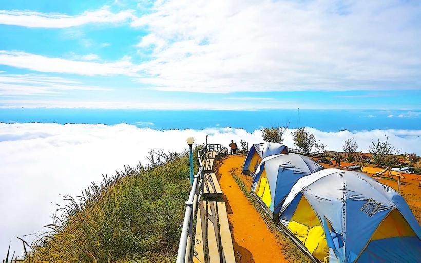
Hiking is the primary activity, with trails leading to viewpoints and waterfalls. The main trail to Phu Soi Dao summit is a multi-day trek requiring camping. Observation of birdlife and plant species is possible throughout the park. Camping facilities are available at the park headquarters and designated areas along the trails.
Infrastructure & Amenities
Restrooms and basic camping facilities are available at the park headquarters. Limited shade is present in designated camping areas. Cell phone signal is unreliable within the park, particularly in higher elevations. No food vendors are present within the park; visitors must bring their own supplies.
Best Time to Visit
The dry season, from November to April, offers the most favorable conditions for hiking and camping. The cool season (November to February) provides the most comfortable temperatures. The rainy season (May to October) can make trails difficult and increase the risk of flash floods. For photography, early morning and late afternoon light are optimal for landscape shots.
Facts & Legends
A local legend speaks of a mythical creature said to inhabit the highest peak, guarding ancient treasures. Verified historical data indicates the area was historically used by indigenous communities for foraging and shelter.
Nearby Landmarks
- Phu Hin Rong Kla National Park (25km Southwest)
- Wat Phra That Si Chom Thong (40km Southeast)
- Namtok Sakhu (18km West)