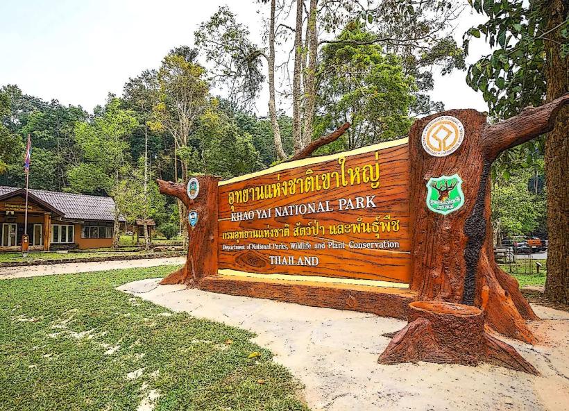
Landmark: Klong Lan National Park
City: Gulf of Thailand
Country: Thailand
Continent: Asia
Klong Lan National Park, Gulf of Thailand, Thailand, Asia
Klong Lan National Park is a protected area situated in the western part of Thailand, bordering Myanmar.
This park encompasses a significant portion of the Tenasserim Hills, characterized by mountainous terrain and dense forest cover.
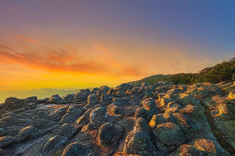
Visual Characteristics
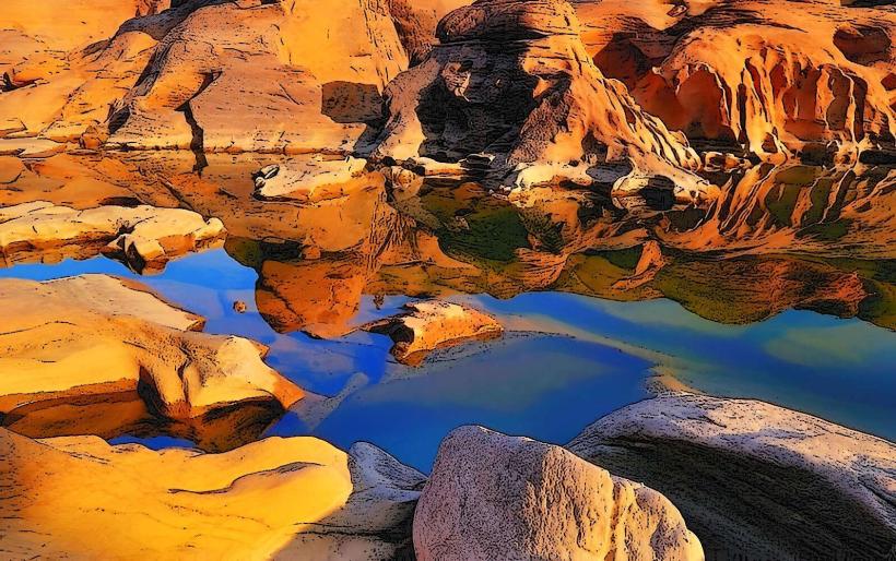
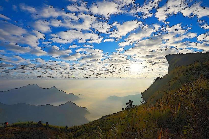
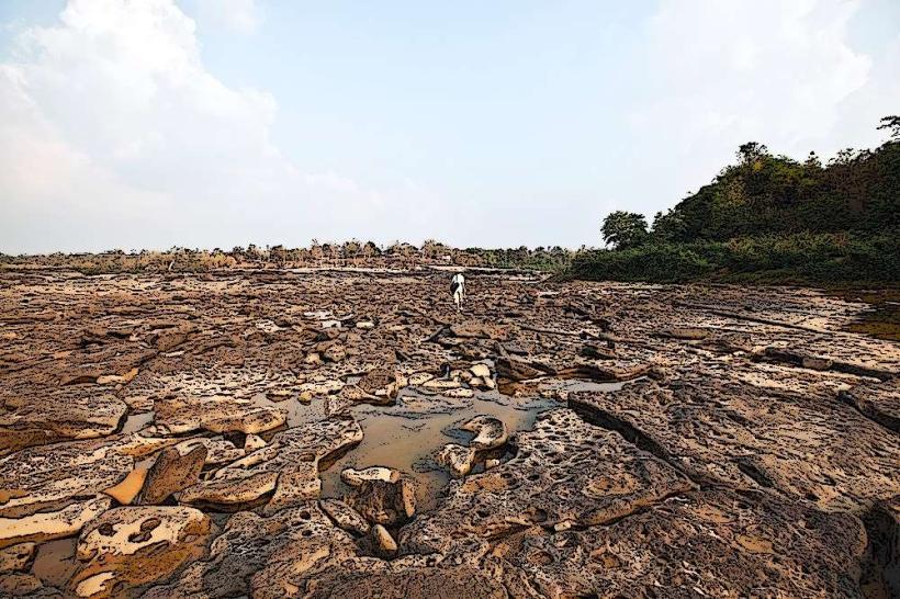
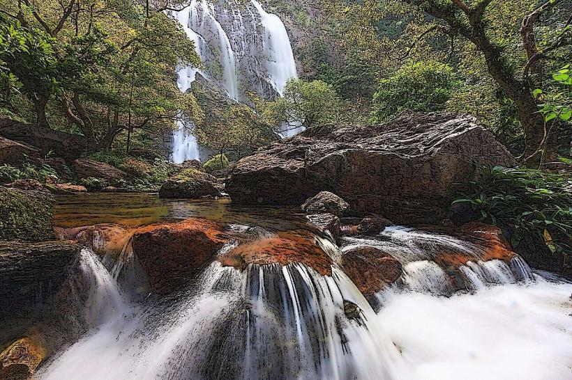
The park's topography consists of steep hills and valleys, with elevations ranging from 200 to 1,800 meters above sea level. Dominant vegetation includes evergreen and mixed deciduous forests. Several waterfalls are present, with Klong Lan Waterfall being a prominent feature, cascading over limestone cliffs.
Location & Access Logistics
Klong Lan National Park is located approximately 70 kilometers west of Kamphaeng Phet city. Access is via Highway 101, turning onto Highway 1108 towards Klong Lan district. From Klong Lan town, follow local signs for the park entrance, which is about 15 kilometers away. Limited parking is available at the main visitor center. Public transport options to Klong Lan district are available from Kamphaeng Phet, but direct public transport to the park entrance is infrequent. A private vehicle is recommended for efficient access.
Historical & Ecological Origin
Established as a national park on December 23, 1987, Klong Lan National Park was designated to protect the watershed area of the Ping River and its biodiversity. Ecologically, it is part of the Tenasserim-South Thailand semi-evergreen forests ecoregion, supporting a diverse range of flora and fauna.
Key Highlights & Activities
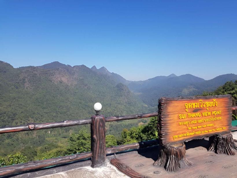
Hiking trails are available, including a path to the summit of Doi Luang, the park's highest peak. Observation points offer views of the surrounding landscape. Swimming is permitted at the base of Klong Lan Waterfall during the dry season. Wildlife observation is possible, with species including various bird types and mammals.
Infrastructure & Amenities
Basic facilities are available at the park headquarters, including restrooms and a small information center. Limited shaded areas are present near the main waterfall. Cell phone signal is intermittent within the park boundaries. Food vendors are typically located near the park entrance and in Klong Lan town; on-site food options are minimal.
Best Time to Visit
The dry season, from November to April, offers the most favorable weather conditions for hiking and outdoor activities. The wet season, from May to October, increases waterfall flow but can make trails muddy and less accessible. For photography, early morning or late afternoon provides optimal lighting conditions, particularly at the waterfalls.
Facts & Legends
A local legend states that the Klong Lan Waterfall was formed by the tears of a giant who was heartbroken. Geologically, the waterfall originates from a series of limestone formations that have been eroded over time.
Nearby Landmarks
- Kamphaeng Phet Historical Park (65km Southeast)
- Phra Borommathat Chedi Nakhon Chum (68km Southeast)
- Mae Ping National Park (120km Northeast)
- Doi Suthep-Pui National Park (250km Northeast)