Landmark: Koh Chang
City: Gulf of Thailand
Country: Thailand
Continent: Asia
Koh Chang, Gulf of Thailand, Thailand, Asia
Koh Chang is an island located in the Gulf of Thailand, off the coast of Cambodia.
It is the third-largest island in Thailand by area.
Visual Characteristics
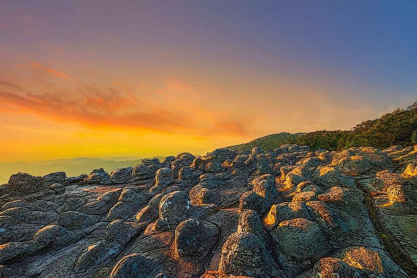
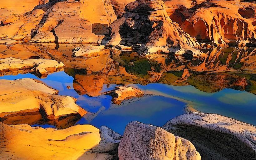
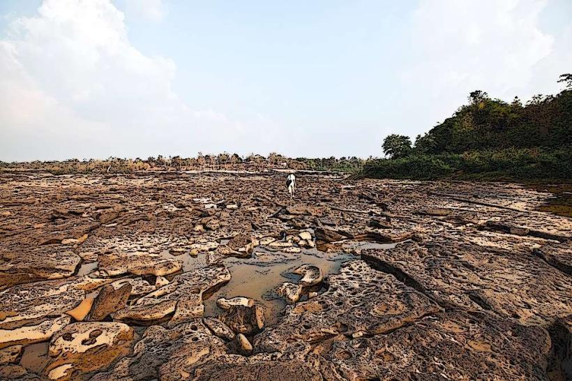
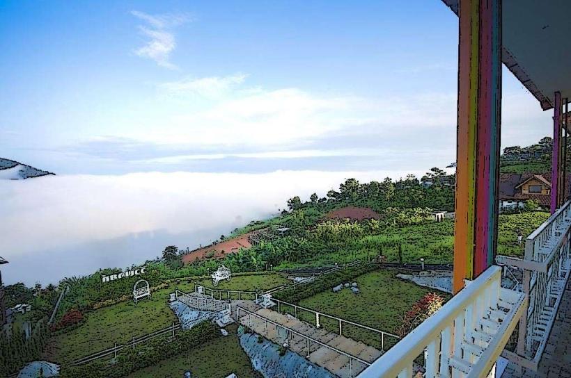
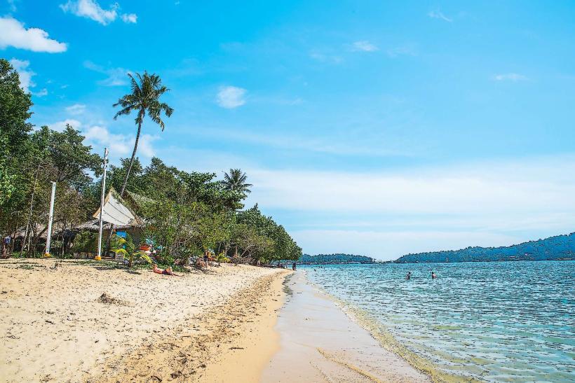
Koh Chang features a mountainous interior covered in dense tropical rainforest. The coastline is characterized by a mix of sandy beaches, rocky outcrops, and mangrove forests. Water clarity varies by season and location, with visibility generally higher during the dry season. The island's elevation reaches approximately 744 meters at its highest point.
Location & Access Logistics
Koh Chang is situated approximately 310 kilometers east of Bangkok. Access is primarily via ferry from the mainland town of Laem Ngop. Several ferry companies operate routes, with crossings taking 30-45 minutes. The main road on Koh Chang is a 26-kilometer paved loop connecting major villages and beaches. Taxis and motorbike rentals are available for local transport. There is no direct airport on the island; visitors typically fly into Trat Airport (TDX) and then take a taxi to Laem Ngop pier.
Historical & Ecological Origin
Koh Chang is of geological origin, formed by volcanic activity millions of years ago. Its ecological classification is a tropical island ecosystem, characterized by diverse flora and fauna, including numerous species of birds, reptiles, and marine life. Historically, the island served as a strategic naval base during the Franco-Thai War in 1941, with naval battles occurring in the waters surrounding it.
Key Highlights & Activities
Activities include swimming and sunbathing on beaches such as White Sand Beach and Klong Prao Beach. Snorkeling and diving are possible at nearby islands like Koh Rang and Koh Mak, accessible by boat tours. Hiking trails lead to waterfalls such as Klong Plu Waterfall and Khiri Phet Waterfall. Kayaking through mangrove forests is also an option.
Infrastructure & Amenities
Restrooms are available at most major beaches and tourist areas. Shade is provided by natural tree cover and constructed shelters at some beaches. Cell phone signal (4G) is generally available across the island, though it can be weaker in remote interior areas. Food vendors and restaurants are concentrated in the main tourist villages.
Best Time to Visit
The best time to visit for favorable weather is during the dry season, from November to April. During this period, rainfall is minimal, and temperatures range from 25°C to 32°C. For photography, early morning and late afternoon offer softer light. High tide is generally preferred for swimming and water activities on most beaches.
Facts & Legends
A local legend speaks of a mythical sea serpent said to inhabit the deeper waters off the island's western coast, believed by some to protect the island's marine life. A verified historical oddity is the presence of several shipwrecks from the 1941 naval battle, which are now popular dive sites.
Nearby Landmarks
- Koh Kood (15km Southeast)
- Trat City (30km West)
- Koh Mak (25km Southwest)
- Mu Ko Chang National Park (Central Island)
- Laem Ngop (30km West)