Landmark: La Somone Lagoon
City: Mbour
Country: Senegal
Continent: Africa
La Somone Lagoon, Mbour, Senegal, Africa
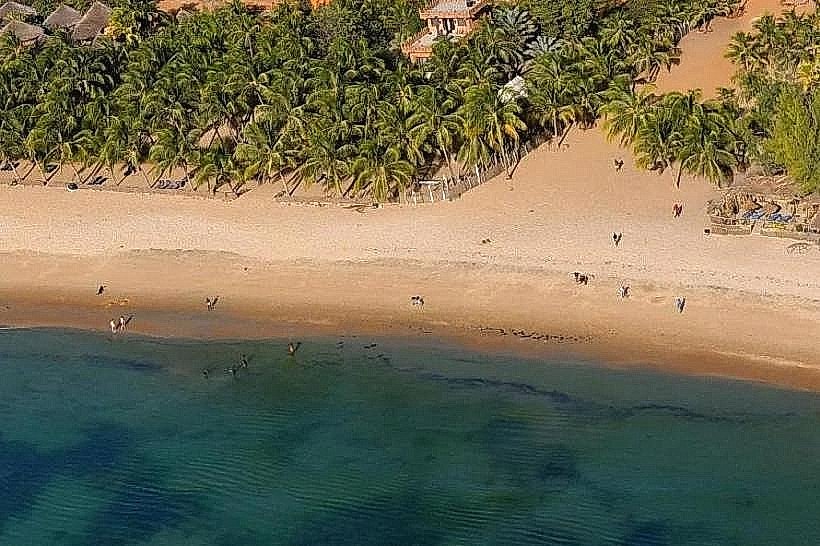
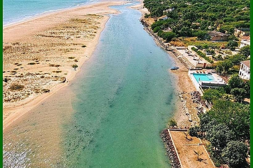
The La Somone Lagoon is a 700-hectare nature reserve and estuarine ecosystem located on the Petite Côte of Senegal. It is situated at the mouth of the Somone River, approximately 77km south of Dakar, between the villages of Somone and Guéréo.
Visual Characteristics
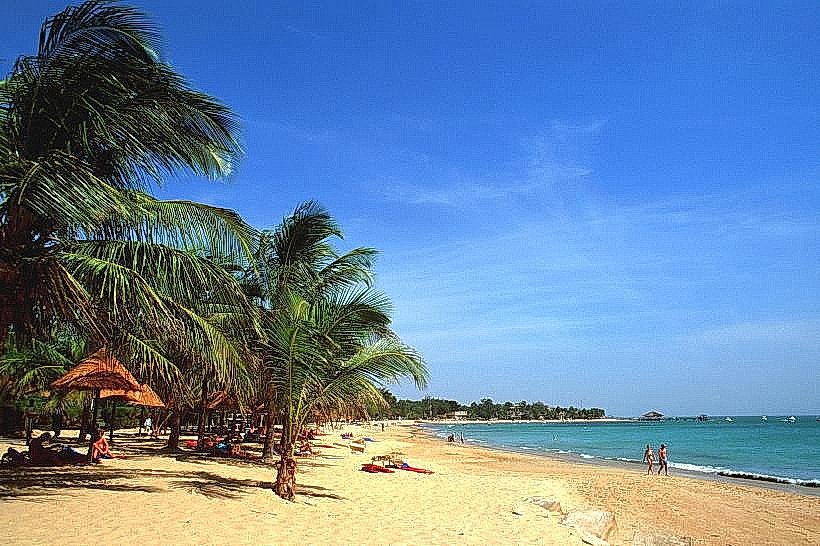
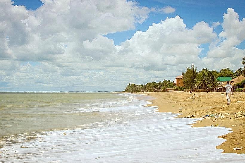
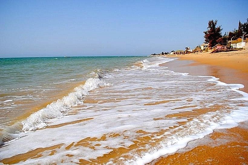
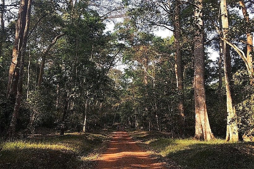
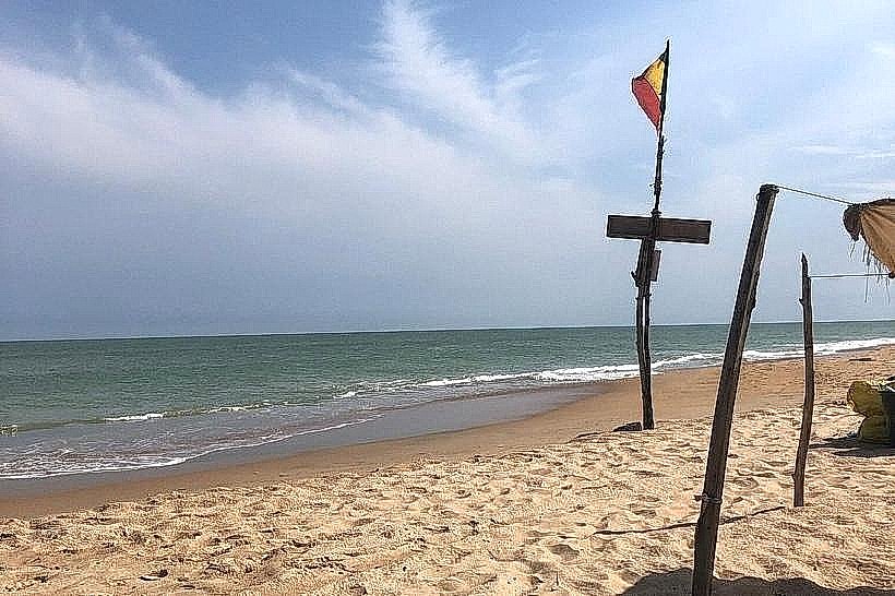
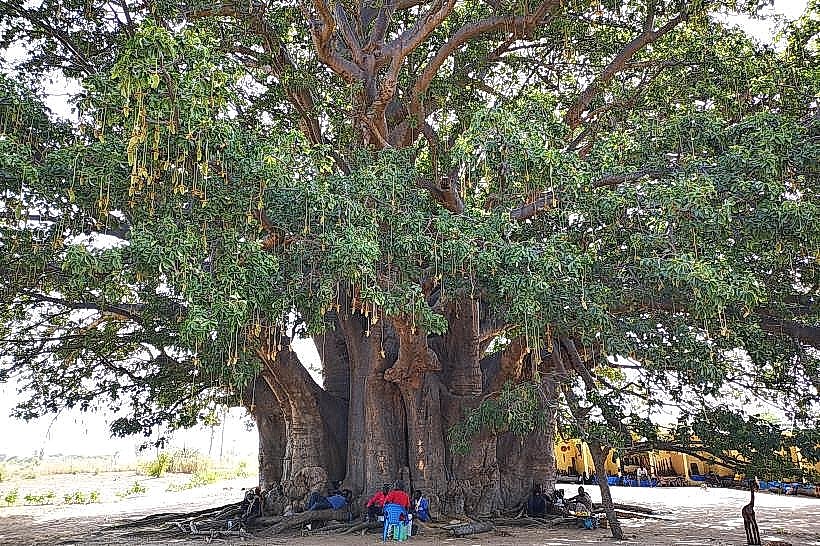
The landscape is characterized by a sprawling network of shallow turquoise and emerald waterways, dense mangrove forests (Rhizophora mangle and Avicennia africana), and shifting white sandbars. At low tide, extensive mudflats and salt pans (sabkhas) become visible. The perimeter is lined with a mix of halophytic vegetation, baobab trees, and scrubland, with the Atlantic Ocean separated from the inner lagoon by a narrow, wave-beaten sandy peninsula.
Location & Access Logistics
The lagoon is accessed via the A1 Toll Road (Sindia/Popenguine exit) or the coastal road from Saly and Ngaparou. From Blaise Diagne International Airport (AIBD), the site is roughly 35km away. Public transport involves taking a "sept-place" taxi to the Sindia junction and transferring to a local taxi toward Somone village. Paved access ends at the village, where sand tracks lead to the boat embarkation points and the "Randonnée Ecologique" trailhead.
Historical & Ecological Origin
The lagoon is a wave-dominated tropical estuary formed during the Holocene transgression, which flooded a pre-existing fluvial valley. It was officially classified as a Nature Reserve of Community Interest (RNICS) in 1999 to protect its status as a critical sanctuary for migratory birds. The ecosystem relies on the seasonal balance between the Somone River's freshwater inflow and tidal seawater exchange from the Atlantic.
Key Highlights & Activities
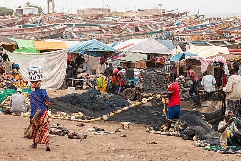
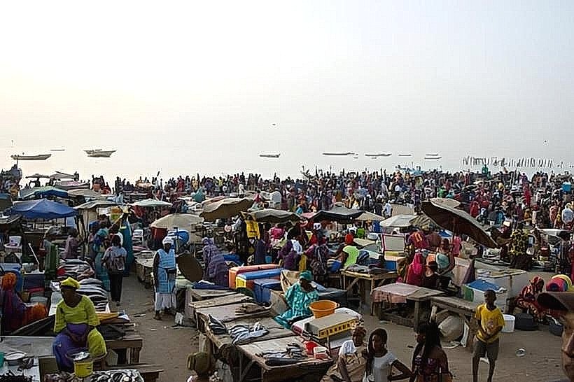
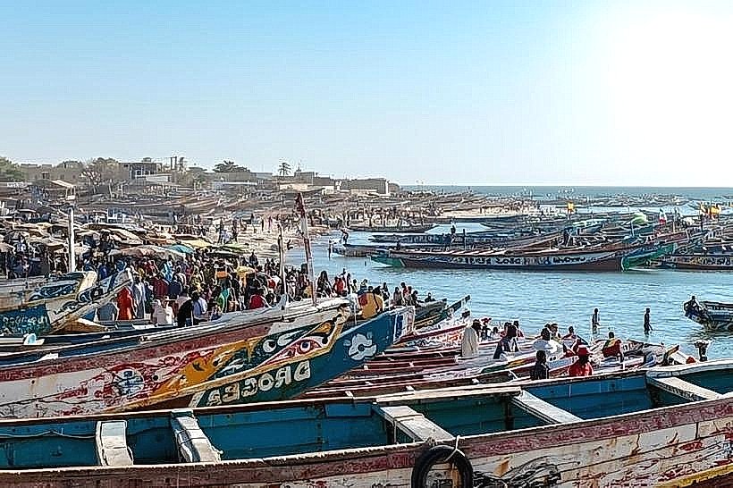
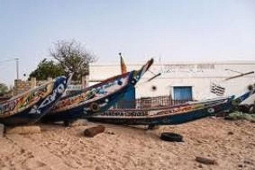
Guided pirogue (traditional boat) tours depart from the main beach to navigate the mangrove channels for birdwatching (pelicans, flamingos, and egrets). An "Ecological Hike" follows a 1.2km flat loop through the wetlands. Kayaking and stand-up paddleboarding are available in the calmer upper reaches of the lagoon. Artisanal oyster harvesting is conducted by local women within the mangrove roots during low tide.
Infrastructure & Amenities
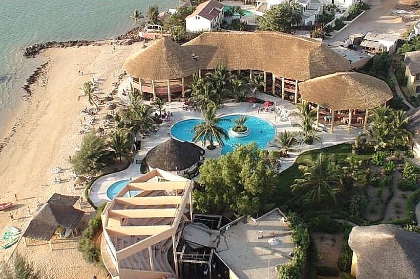
Infrastructure is clustered at the mouth of the lagoon, featuring several beachfront restaurants and eco-lodges. A small park service office (the "green house") collects entry fees for boat trips and hikes. Rudimentary restrooms are available at the larger restaurants, but not within the core reserve. 4G cellular signal is strong across the entire estuary. Shade is provided by the dense mangrove canopy in the channels and by thatched umbrellas on the adjacent beach.
Best Time to Visit
The optimal period for birdwatching is from November to April, coinciding with the arrival of migratory species from Europe. Photography is best at low tide when sandbars are exposed and avian life is most concentrated, specifically during the early morning (07:30–09:30). The rainy season (July–September) offers the most vibrant green foliage but can make the access tracks muddy.
Facts & Legends
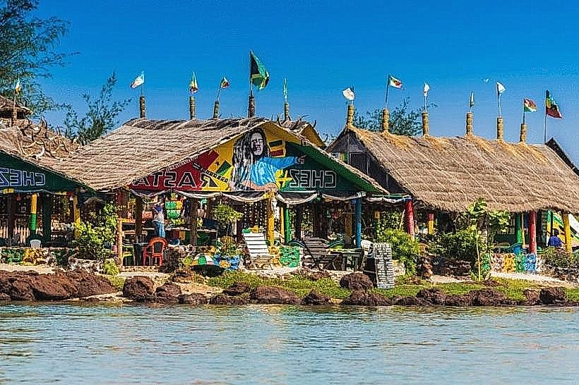
A local "secret" is the presence of several "restaurant islands" within the lagoon that are only accessible by boat, where grilled oysters and fish are served directly over the water. Local tradition emphasizes the role of the mangroves as protective spirits of the coastline; cutting the wood was historically forbidden by customary law long before official state protection was enacted.
Nearby Landmarks
Parc Exotique Du Sénégal – 3.1km North
Ngaparou Artisanal Center – 4.2km North
Saly Portudal Resort – 6.9km Southeast
Popenguine Nature Reserve – 8.4km Northwest
Bandia Reserve – 10.6km Northeast