Landmark: Malikounda Forest
City: Mbour
Country: Senegal
Continent: Africa
Malikounda Forest, Mbour, Senegal, Africa
The Malicounda Forest (Forêt Classée de Malicounda) is a protected woodland and reforestation zone located in the Mbour Department of the Thiès Region. It occupies a strategic environmental position between the city of Mbour and the rural commune of Malicounda, situated approximately 85km southeast of Dakar.
Visual Characteristics
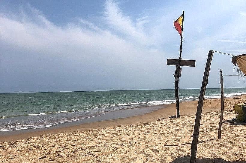
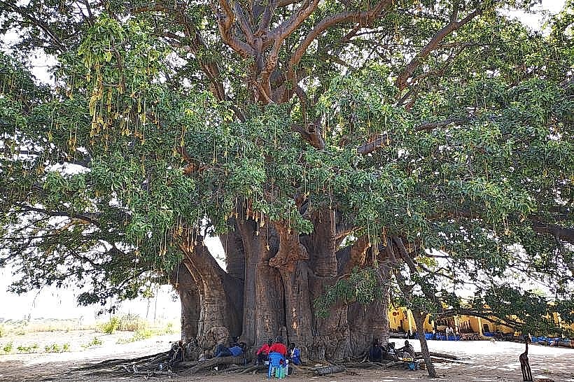
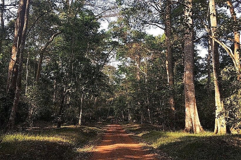
The forest features a dry tropical savannah landscape dominated by stands of Anacardium occidentale (cashew trees), Adansonia digitata (baobabs), and various Acacia species. The terrain is characterized by flat, sandy-lateritic soils that shift from dusty grey in the dry season to a muted green during the rains. Wide, unpaved firebreaks and sandy tracks intersect the woodland, which is bordered by residential development and agricultural fields.
Location & Access Logistics
The forest is situated northeast of the Saly resort zone and northwest of Mbour. It is accessible via the N1 National Road or the A2 Motorway (Malicounda exit). From the center of Mbour, the forest is reached via local dirt roads heading toward Malicounda Bambara. Public transport options include shared taxis (clandos) and motorcycle taxis departing from Mbour or Saly. There are no formal parking facilities; visitors utilize the sandy shoulders of the tracks entering the protected area.
Historical & Ecological Origin
Classified as a state forest by government decree to combat desertification and coastal wind erosion, the site serves as a botanical shield for the Petite Côte. Geologically, it sits on the sedimentary plains of the Mbour Department, featuring nutrient-poor but well-drained soils. Over the decades, the forest has undergone several reforestation campaigns to replace indigenous timber lost to drought and human encroachment.
Key Highlights & Activities
The forest is primarily used for light ecotourism, including walking and birdwatching among the cashew groves. Local communities engage in the permitted seasonal harvesting of cashew nuts and wild fruits. The perimeter tracks are popular for off-road cycling and as transit routes for local herders. Some sections are used for agricultural experimentation and sustainable agroforestry initiatives.
Infrastructure & Amenities
Infrastructure is minimal, restricted to forestry department markers and basic firebreak trails. There are no public restrooms, visitor centers, or potable water sources within the forest. 4G and 5G cellular coverage is reliable due to the proximity of the Saly and Mbour urban centers. Shade is abundant under the mature cashew and baobab canopies, but there are no man-made shelters or seating areas.
Best Time to Visit
The best period for visitation is from December to March, when the climate is dry and the cashew trees are in flower or fruit. Early morning (07:00–09:00) is the most suitable time for wildlife observation and to avoid intense midday heat. During the rainy season (July–September), the forest becomes significantly denser and greener, though some sandy tracks may become difficult to navigate.
Facts & Legends
The forest is adjacent to the village of Malicounda Bambara, known for its historical social activism. A local interpretation suggests that the name "Malicounda" derives from the Serer words mal (wild herbs) and koundal (a place inhabited by spirits), reflecting the forest’s ancient reputation as a botanical refuge.
Nearby Landmarks
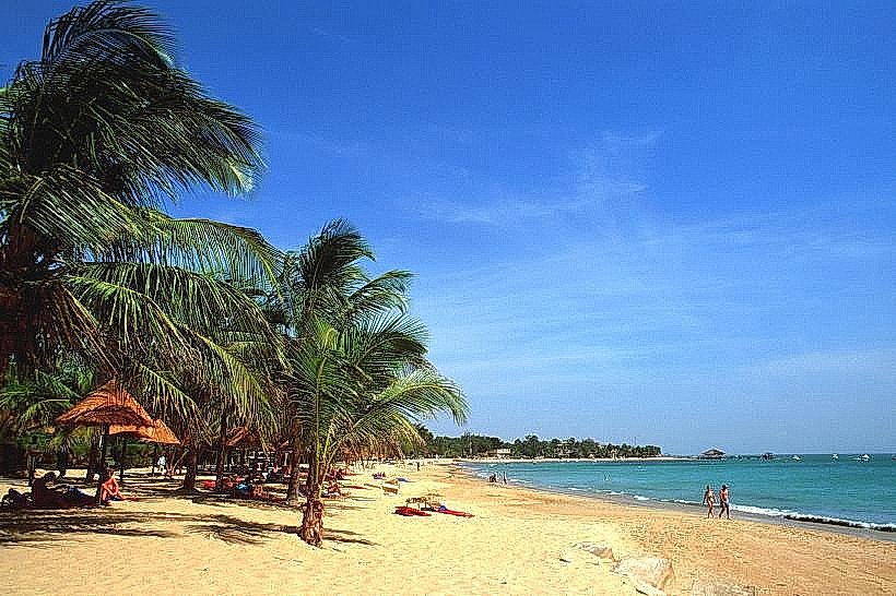
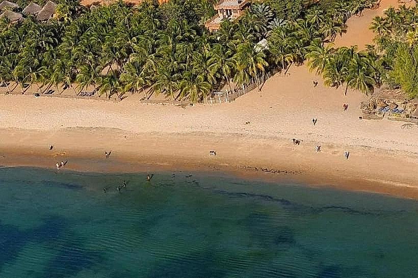
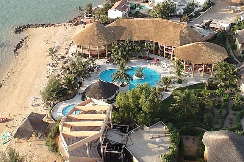
Saly Portudal Resort – 4.5km West
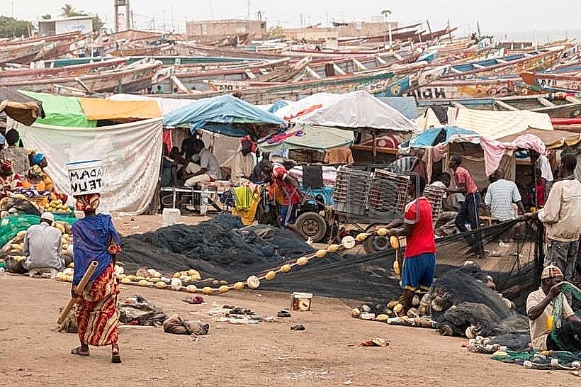
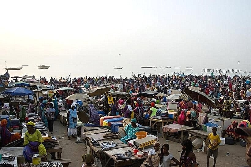
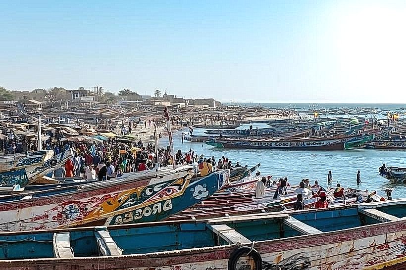
Mbour Fish Market – 6.2km Southwest
Bandia Reserve – 12.5km North
Accro-Baobab Adventure Park – 13.0km North