Landmark: Mbodiene Lagoon
City: Mbour
Country: Senegal
Continent: Africa
Mbodiene Lagoon, Mbour, Senegal, Africa
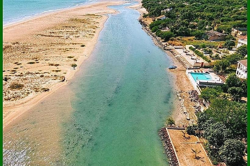
The Mbodiène Lagoon is a coastal wetland and estuarine ecosystem located on the Petite Côte of Senegal, approximately 105km south of Dakar. It is situated between the emerging resort of Pointe-Sarène and the historic town of Joal-Fadiouth, serving as the maritime boundary for the village of Mbodiène.
Visual Characteristics
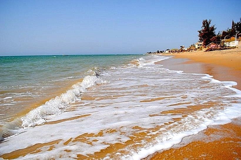
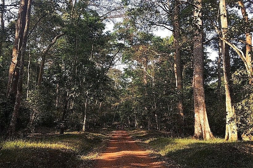
The lagoon is a narrow, shallow body of water separated from the Atlantic Ocean by a slender sandy peninsula and a series of low dunes. It features a mixture of salt marshes, mudflats, and small stands of mangroves. The water color fluctuates between emerald green and pale blue depending on the tide and mineral content. The surrounding landscape is dominated by dry coastal savannah, featuring a high density of baobab and acacia trees that reflect in the still waters of the lagoon.
Location & Access Logistics
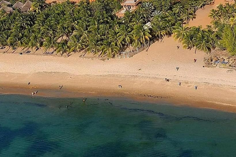
Access is via the N1 National Road (Dakar-Mbour-Joal axis). From Mbour, the site is roughly a 30-minute drive south. Public transport involves taking a "sept-place" or Ndiaga Ndiaye bus toward Joal and disembarking at the Mbodiène junction. A secondary paved road and sandy tracks lead from the village to the lagoon's edge. Private parking is generally informal, located on the firm sand patches near the various eco-lodges that border the water.
Historical & Ecological Origin
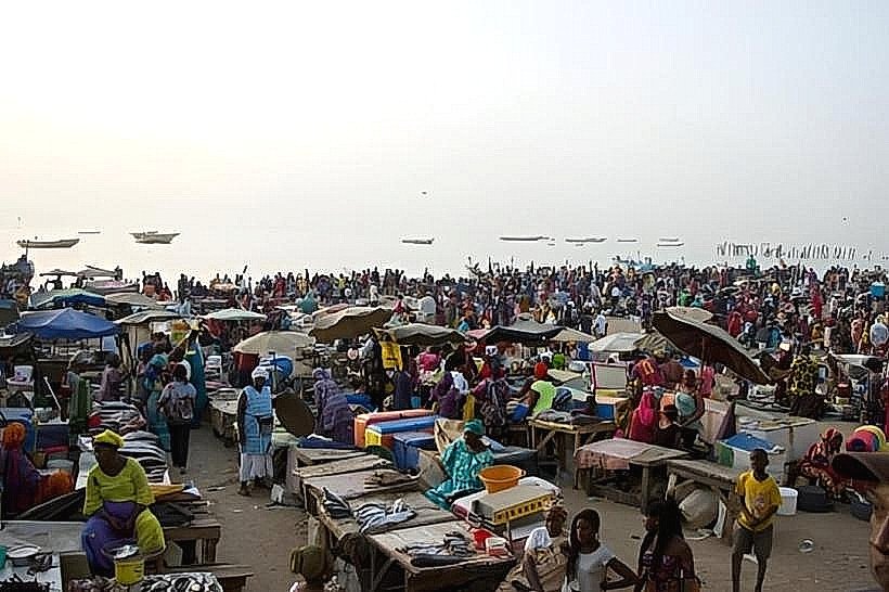
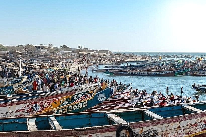
Geologically, the lagoon is a restricted estuary formed by the occlusion of a small coastal river by longshore sand drift. It is an important ecological corridor for migratory birds and serves as a nursery for various crustacean species. Historically, the area was a quiet Serer farming and fishing community. In recent years, it has gained international recognition through the "Akon City" project, a proposal to build a futuristic metropolis on a 2,000-acre land grant surrounding the lagoon.
Key Highlights & Activities
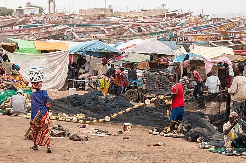
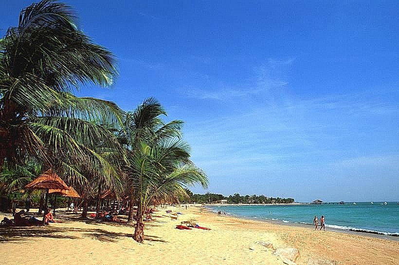
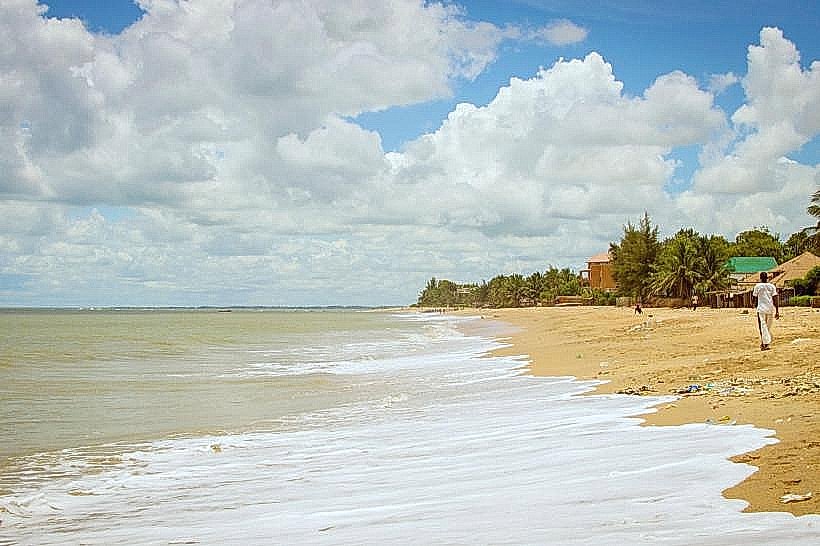
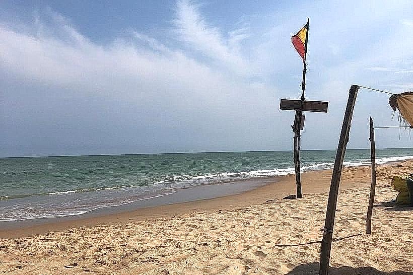
Birdwatching is a primary activity, as the lagoon attracts flamingos, pelicans, and herons, especially during the northern hemisphere's winter. The calm waters are suitable for kayaking and traditional pirogue excursions. The beach on the ocean side of the peninsula offers secluded swimming away from the main resort crowds. Local women can often be seen harvesting salt from the pans during the peak of the dry season.
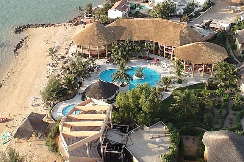
Infrastructure & Amenities
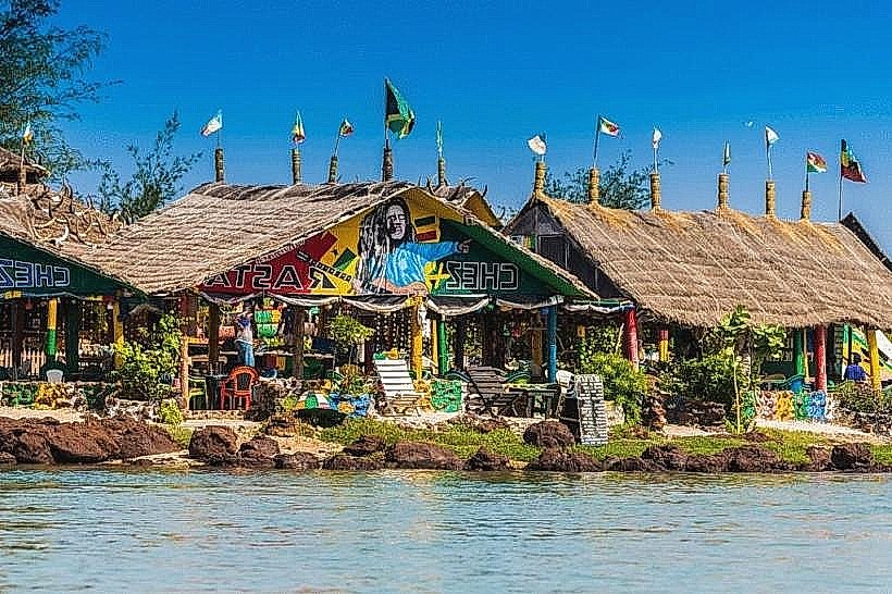
Infrastructure remains low-impact and decentralized. Several small-scale eco-lodges and "campements" are built around the lagoon, offering terrace dining and basic accommodation. There are no public restrooms or large-scale commercial centers on the immediate shoreline. 4G cellular coverage is reliable. Shade is provided by the architectural thatch of the lodges and the large baobab trees that line the landward side of the water.
Best Time to Visit
The dry season from November to May is optimal for birdwatching and navigating the sandy access tracks. For photography, the late afternoon (17:00–18:30) is the most favorable time, as the setting sun silhouettes the baobabs against the lagoon's mirror-like surface. During the rainy season (July–September), the lagoon expands significantly, and the surrounding savannah turns a vibrant green, though mosquitoes are more prevalent during this period.
Facts & Legends
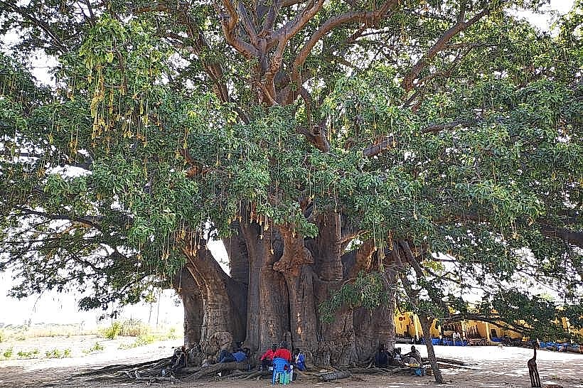
A local point of interest is the "Baobab de la Concorde," a notable tree near the village where communal discussions traditionally take place. The lagoon is also the site of an annual cultural festival that celebrates Serer heritage through wrestling matches and traditional music. Despite the high-profile global media coverage regarding futuristic urban developments, the lagoon currently remains a tranquil, largely undeveloped natural site.
Nearby Landmarks
Pointe-Sarène Tourist Zone – 6.0km North
Joal-Fadiouth (Shell Island) – 12.0km South
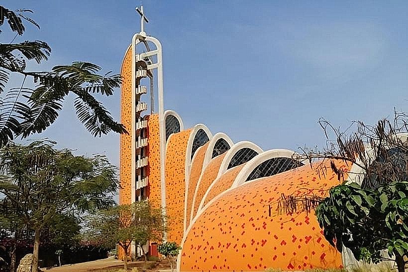
Nianing Church – 20.0km North
Palmarin Dunes – 35.0km South