Landmark: Ancient Phoenician Port
City: Byblos
Country: Lebanon
Continent: Asia
Ancient Phoenician Port, Byblos, Lebanon, Asia
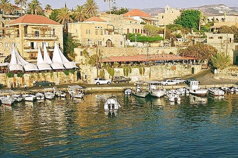
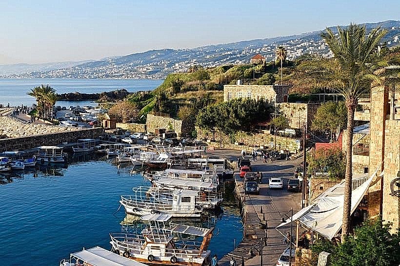
The Ancient Phoenician Port is a maritime harbor installation situated on the western coastline of Byblos (Jbeil), Lebanon. The basin serves as a functioning harbor bounded by natural limestone headlands and ancient artificial breakwaters.
Visual Characteristics
The port consists of a semi-enclosed natural basin flanked by two ancient stone breakwaters constructed of large limestone blocks. The northern breakwater features a circular stone defense tower base dating to the medieval period. The harbor waters maintain a depth ranging from two to five meters, terminating at a gravel and sand shoreline. The surrounding infrastructure includes a stone quay made of weathered sea-worn blocks and traditional wooden fishing vessels moored along the perimeter.
Location & Access Logistics
The harbor is situated at the western terminus of Rue du Port in the historic maritime quarter of Byblos, approximately 38 kilometers north of central Beirut. Access from Beirut is via the Beirut-Tripoli Highway (Route 51), taking the Jbeil exit and proceeding westward down Sea Road. The immediate waterfront is a pedestrian zone; vehicular parking is available at the public municipal parking lot located 400 meters east near the Old Souk entry. Public buses operating from Beirut's Charles Helou Station drop passengers at the Byblos highway junction, requiring a 20-minute westbound walk to the water.
Historical & Ecological Origin
The port developed as a major maritime commercial hub during the 3rd millennium BC under Phoenician (Canaanite) administration, functioning as the primary terminal for exporting Lebanese cedar wood, wine, and olive oil to Old Kingdom Egypt. Geologically, the harbor utilizes a natural karstic indentation in the Mediterranean limestone shelf, which was structurally reinforced with stone moles during the Bronze Age. The site underwent successive modifications by Egyptian, Persian, Roman, and Crusader engineers to maintain defensive capabilities.
Key Highlights & Activities
Foot transit along the northern stone pier and breakwater is permissible for direct inspection of medieval fortification foundations. Observation of active traditional net-mending and fishing operations occurs daily along the concrete and stone quays. Small-boat coastal excursions depart from the commercial slips, offering maritime views of the seaward archaeological ramparts.
Infrastructure & Amenities
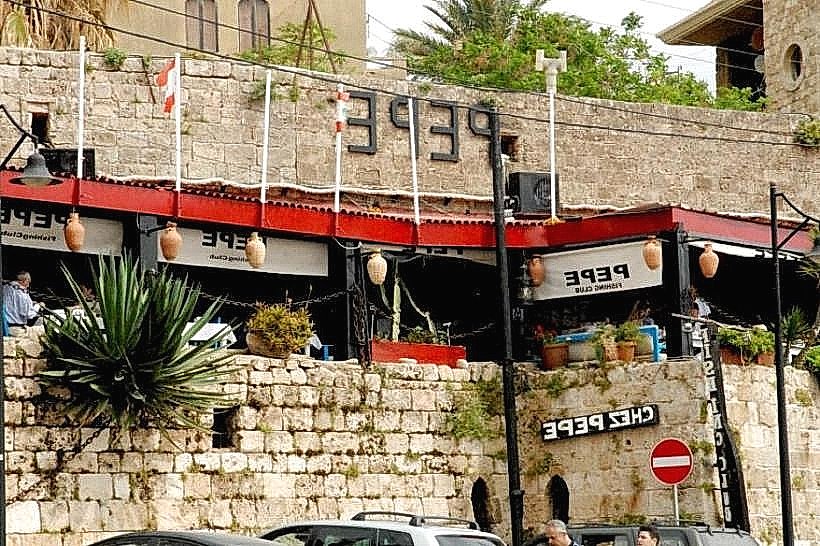
Public restrooms are situated within the municipal park area 200 meters east of the harbor front. The open quayside offers zero natural shade, requiring personal sun protection. Mobile network connectivity via regional operators Alfa and Touch provides functional 4G and 5G signals across the entire harbor area. Numerous seafood restaurants and cafes operate immediately along the western edge of the adjacent Old Souk.
Best Time to Visit
The optimal period for photography occurs during sunset between 17:30 and 19:30, when light aligns directly with the harbor mouth and illuminates the eastern stone walls. The months of April through June and September through November offer stable sea conditions and minimal rainfall. Early morning visits between 06:00 and 08:00 provide the best conditions to observe local fishing vessels returning with daily catches.
Facts & Legends
The port serves as the geographical etymological source for the word "Bible"; ancient Greek merchants utilized this specific harbor to import vast quantities of Egyptian papyrus, which they termed byblos after the city's Greek name, eventually giving rise to the Greek word for book (biblion).
Nearby Landmarks
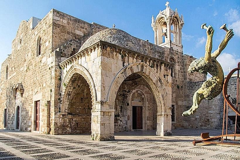
Saint John-Marc Church – 0.3km East
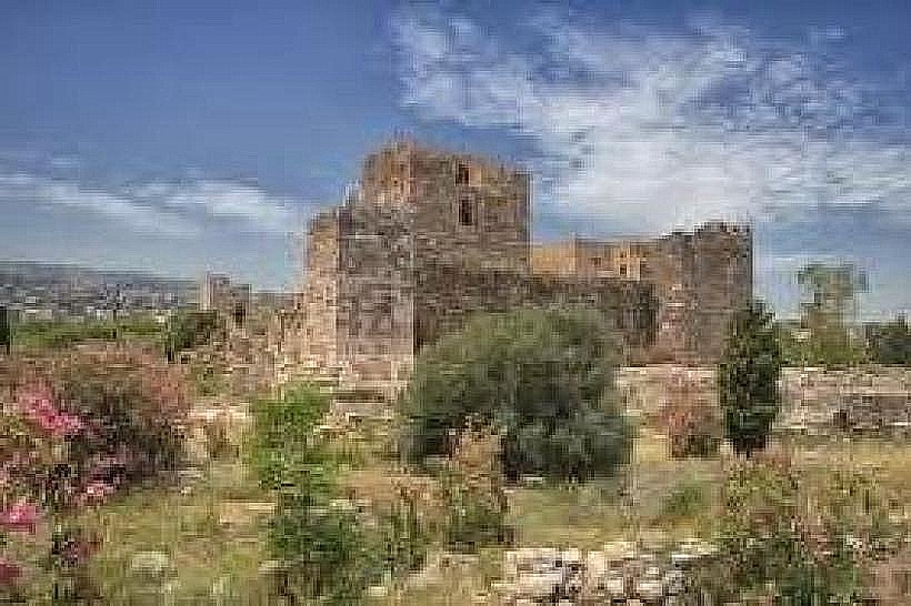
Byblos Citadel – 0.4km East
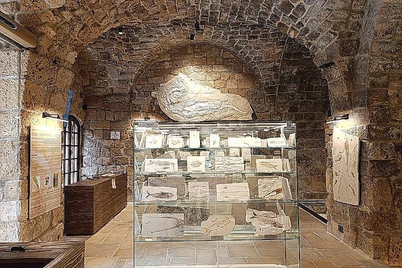
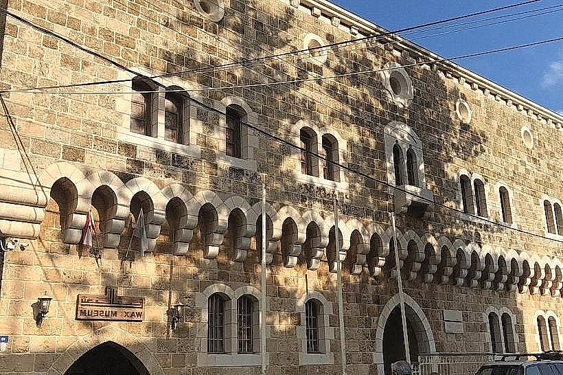
Byblos Wax Museum – 0.45km North-East
Sultan Abdul Majid Mosque – 0.5km North-East
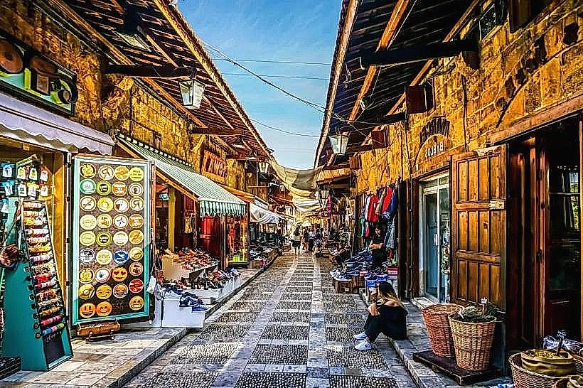
Byblos Old Souk – 0.4km East