Landmark: Royal Tombs
City: Byblos
Country: Lebanon
Continent: Asia
Royal Tombs, Byblos, Lebanon, Asia
The Royal Tombs form an ancient subterranean necropolis situated within the primary archaeological site of Byblos (Jbeil), Lebanon. The burial complex occupies the western limestone cliffside facing the Mediterranean Sea, located south of the Crusader Castle.
Visual Characteristics
The necropolis consists of nine underground tombs cut directly into the vertical coastal bedrock strata. Each structure features a deep, square vertical access shaft leading to a horizontal lateral burial chamber at the base. The openings exhibit precise, unornamented vertical masonry cuts lacking plaster or inscriptions. Large, plain limestone and basalt sarcophagi remain in situ within some chambers, characterized by heavy monolithic bodies and semi-cylindrical or ridged stone lids fitted with protruding lifting lugs.
Location & Access Logistics
The tombs are located inside the gated Byblos Archaeological Site on Rue de la Citadelle, approximately 38 kilometers north of central Beirut. Vehicular travel utilizes the Beirut-Tripoli Highway (Route 51) to the Jbeil exit, continuing west toward the old maritime quarter. Vehicles must park at the municipal parking lot situated 350 meters east of the main archaeological entrance. Public buses from Beirut’s Charles Helou Station drop passengers at the Byblos highway overpass, followed by a 15-minute walk westward to the ticketing gate.
Historical & Ecological Origin
The necropolis dates to the second millennium BC, with the earliest shafts (Tombs I–IV) constructed during the Middle Bronze Age around 1900 BC as the resting place for the Phoenician rulers of Gebal (ancient Byblos). The tombs reflect strong political and economic ties with Egypt's Twelfth Dynasty. Later shafts (Tombs V–IX) extend into the Late Bronze Age and early Iron Age. French archaeologist Pierre Montet systematically excavated the cliffside complex between 1922 and 1924 after a partial landslide exposed the deep burial cavities.
Key Highlights & Activities
Foot transit is permitted along the designated perimeter pathways and metal viewing platforms built directly over the open vertical shafts. Visitors can look down into the deepest access shafts, including Tomb V and Tomb I, to observe the subterranean rock-cut engineering. Metal ladders and security grates mark the entry points to the lower chambers, though direct descent into the shafts is restricted to authorized archaeological personnel.
Infrastructure & Amenities
The immediate open-air necropolis area possesses no public restrooms, seating, or shade structures; these are available exclusively at the main visitor center located 250 meters north near the site entrance. The cliffside terrain is completely exposed to maritime winds and solar radiation, requiring sun protection. Mobile network signals via regional carriers Alfa and Touch remain strong, offering full 4G and 5G data access across the burial grounds.
Best Time to Visit
The most favorable timing for photography is between 15:30 and 17:30, when the afternoon sun illuminates the western-facing limestone cliffs and cuts directly into the vertical shafts. The dry, temperate months of April through June and September through November provide the best conditions for traversing the uneven earth paths. Midday periods in July and August present high heat risk due to the complete lack of overhead coverage.
Facts & Legends
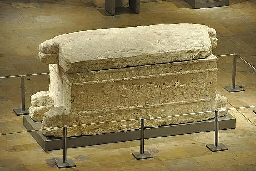
Tomb V contained the famous stone sarcophagus of King Ahiram (dating to circa 1000 BC), which features the earliest known continuous inscription of the 22-letter Phoenician alphabet carved along its lid. While the actual underground shaft remains at the site, the decorated sarcophagus itself was removed and is permanently exhibited inside the National Museum of Beirut.
Nearby Landmarks
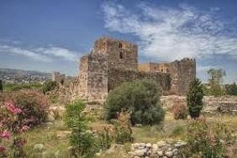
Byblos Citadel – 0.1km North-East
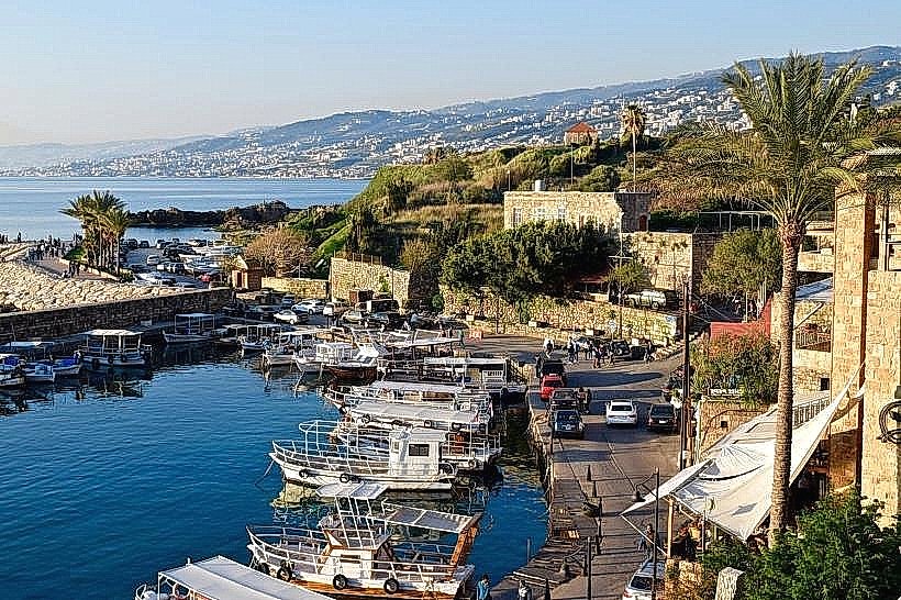
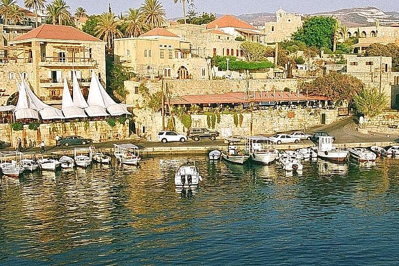
Ancient Phoenician Port – 0.35km North-West
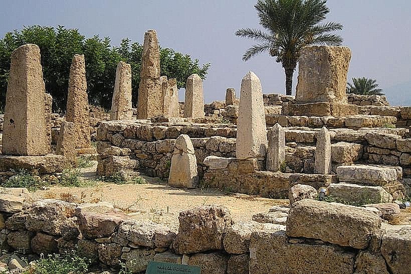
Obelisk Temple – 0.05km East
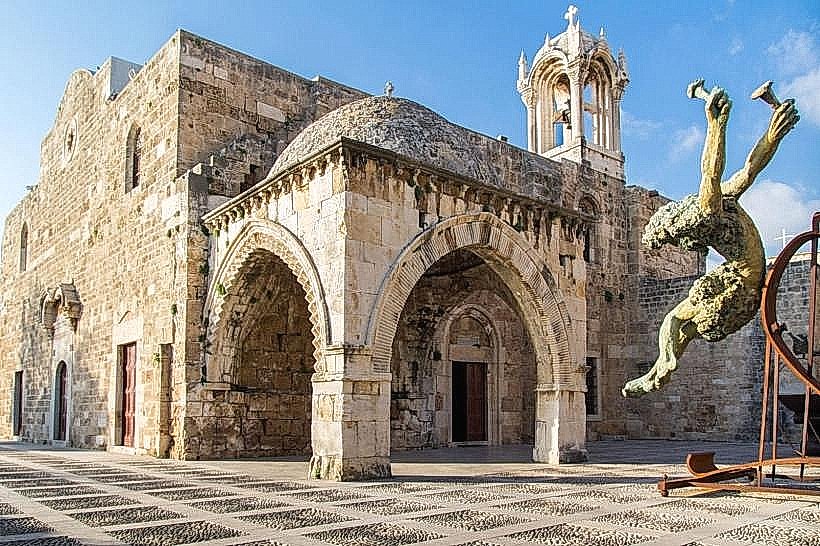
Saint John-Marc Church – 0.25km North-East
Byblos Old Souk – 0.3km East