Landmark: Jbeil
City: Byblos
Country: Lebanon
Continent: Asia
Jbeil, Byblos, Lebanon, Asia
Jbeil, historically known as Byblos, is a coastal Mediterranean city located in the Mount Lebanon Governorate of Lebanon. It is recognized as one of the oldest continuously inhabited cities in the world, positioned along a narrow coastal plain bordered by the Lebanon mountains.
Visual Characteristics
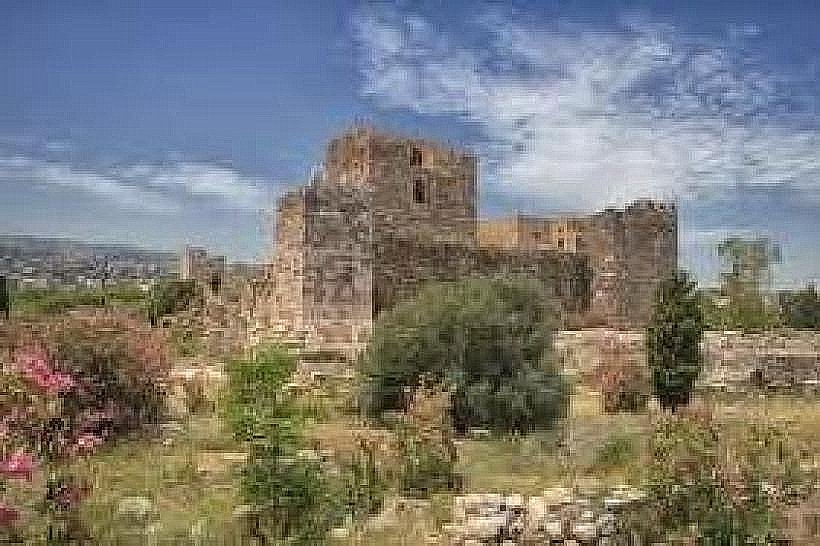
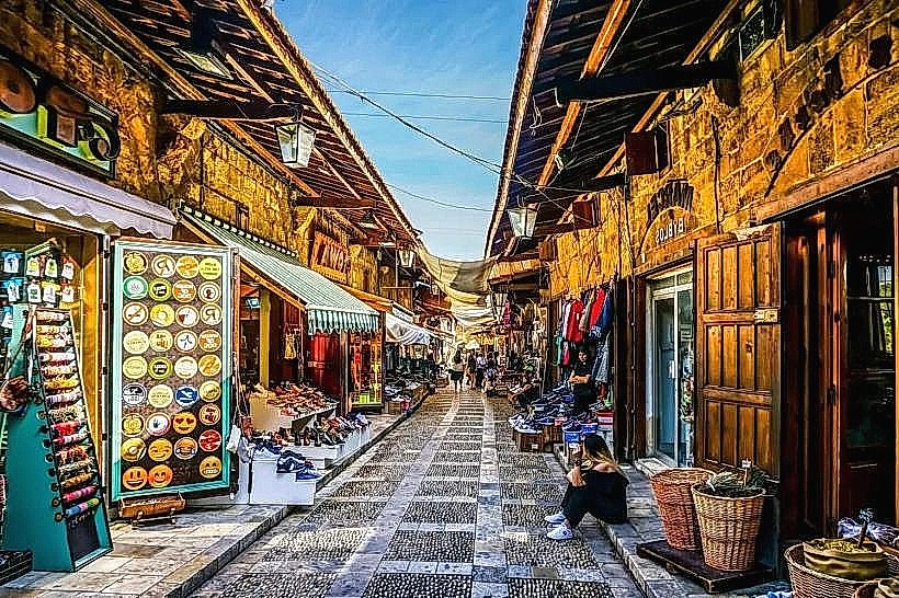
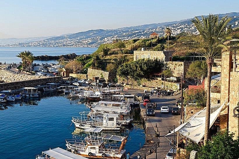
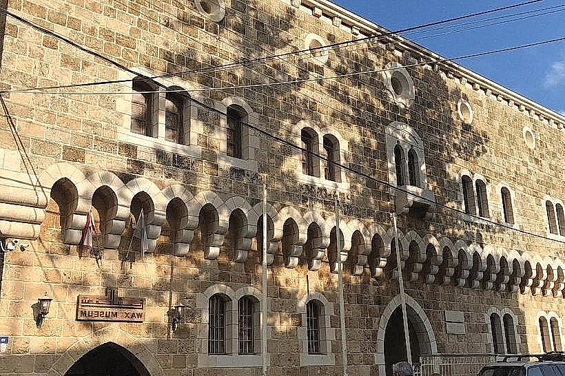
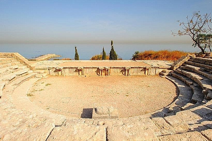
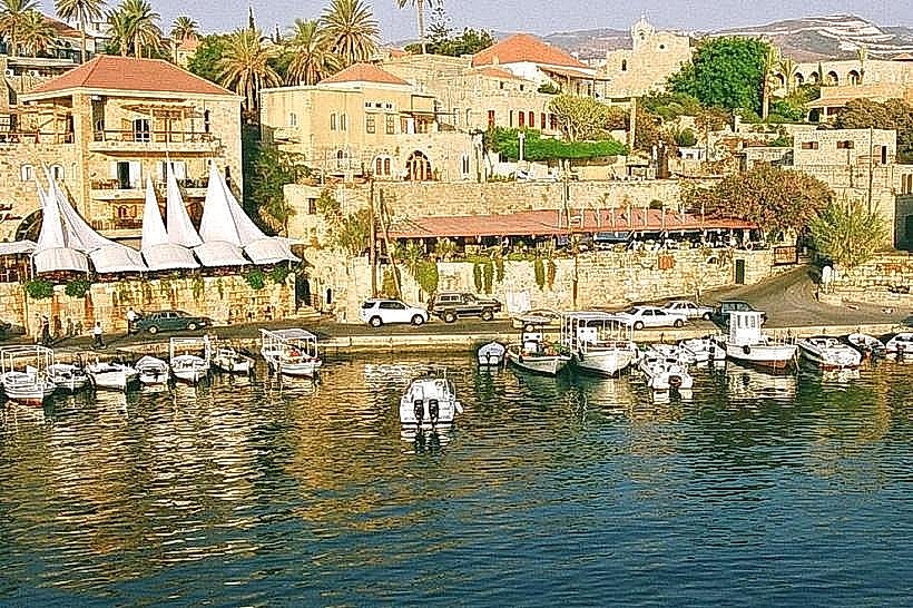
The city transitions from a modern commercial district of concrete buildings into a preserved historic core dominated by medieval and ancient architecture. The old town features winding pedestrian alleys paved with gray volcanic cobblestones and lined with single and double-story yellow limestone structures. The western edge is defined by a natural limestone promontory, an ancient harbor basin, and a dominant square-towered Crusader fortress. The architectural palette consists of weathered golden stone, red clay roof tiles, and iron-grille balconies, contrasted against coastal olive groves and palm trees.
Location & Access Logistics
The city is situated directly on the Mediterranean coast, approximately 38 kilometers north of central Beirut. Primary vehicular access from the capital is via the multi-lane Beirut-Tripoli Highway (Route 51), which bisects the modern and historic sections of the city. Vehicular parking is heavily regulated in the old quarter; drivers must utilize designated municipal and private parking lots along Rue de la Citadelle or near the Roman road entrance. Public transit is served by regular commercial buses and minivans departing from Beirut’s Charles Helou and Cola stations, dropping passengers at the Jbeil highway overpass.
Historical & Ecological Origin
Archaeological excavations indicate continuous human settlement at the site since the Neolithic period, around 8000 BC. It developed into a prominent Phoenician city-state and maritime trading capital during the 3rd millennium BC, establishing extensive commercial networks with Pharaonic Egypt for timber export. Geologically, the urban core sits on a marine limestone terrace that terminates in coastal cliffs, providing natural defensive advantages and a protected anchorage utilized successively by Phoenician, Persian, Hellenistic, Roman, Byzantine, Crusader, and Ottoman administrations.
Key Highlights & Activities
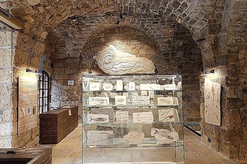
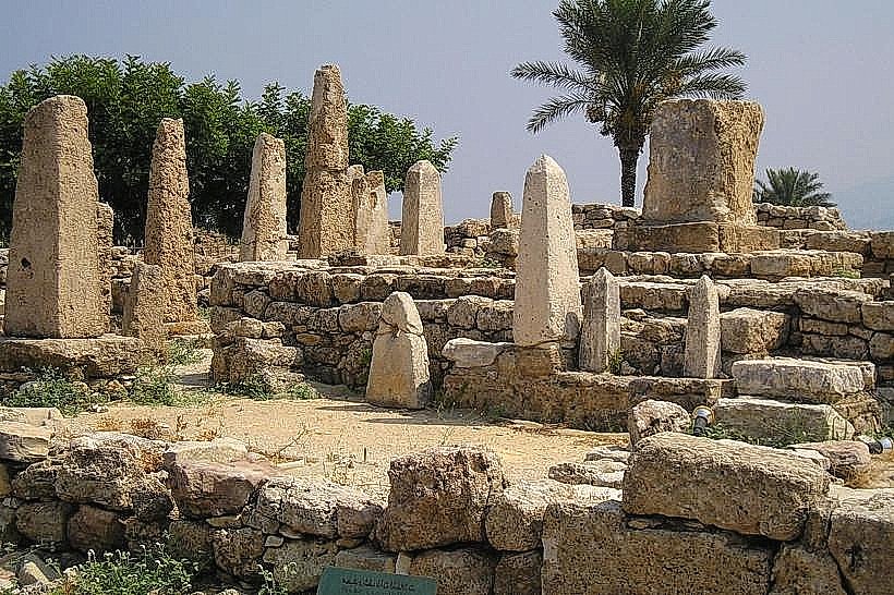
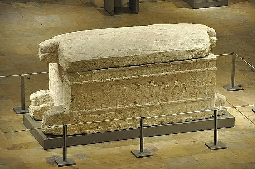
Pedestrian exploration is concentrated within the walled old city and the open-air archaeological park. Visitors walk the medieval souks to inspect traditional stone architecture, vaulted archways, and local craft workshops. The central archaeological site permits self-guided exploration of Roman colonnades, Phoenician temple foundations, and royal necropolis shafts. Coastal walking paths run along the old port perimeter, providing access to the stone jetties and sea-facing fortifications.
Infrastructure & Amenities
The historic center features fully developed tourism infrastructure, including multiple public restrooms located near the municipal building and the main citadel entrance. Shade is provided by structural awnings in the commercial souks and mature trees within the church courtyards. Cellular network coverage via national networks Alfa and Touch is robust, delivering stable 4G and 5G data speeds across both the modern and ancient sectors. Financial services, pharmacies, and international or traditional food vendors operate continuously throughout the city grid.
Best Time to Visit
The optimal months for outdoor tourism are April through June and September through November, avoiding the heavy winter rains of January and the high humidity of July and August. Photography within the historic souks and archaeological ruins is best conducted between 08:00 and 10:30 for crisp morning light, or between 16:00 and 18:30 when the setting sun illuminates the western limestone facades and coastal harbor.
Facts & Legends
According to Phoenician myth recorded by the historian Philo of Byblos, the city was founded by the god El (Cronus) and was considered the first city built in the entire universe. In historical reality, it served as the birthplace of the modern linear phonetic alphabet, developed by Phoenician scribes to streamline maritime commercial bookkeeping.
Nearby Landmarks
Byblos Citadel – 0.1km West (within the historic core)
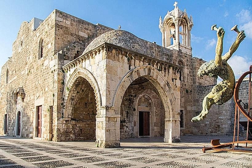
Saint John-Marc Church – 0.2km West
Ancient Phoenician Port – 0.4km West
Amchit Seaside Cliffs – 4.5km North
Nahr Ibrahim Valley (Adonis River) – 5.0km South