Landmark: Bat Island
City: Karongi
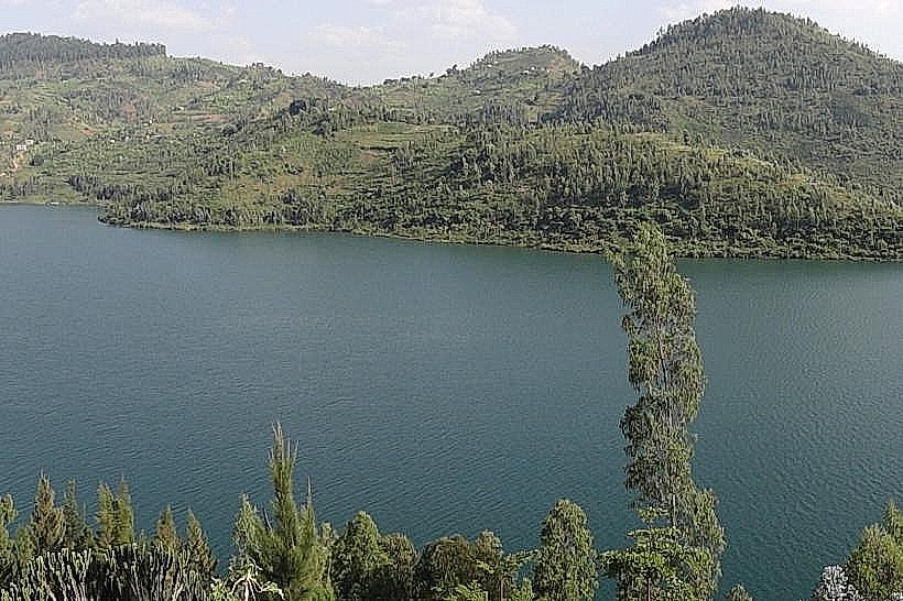
Country: Rwanda
Continent: Africa
Bat Island, Karongi, Rwanda, Africa
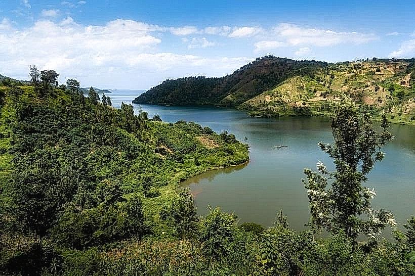
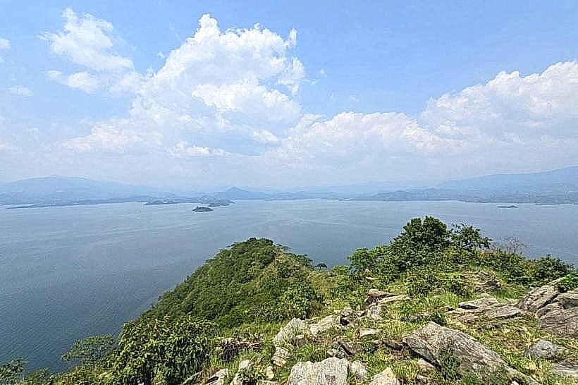
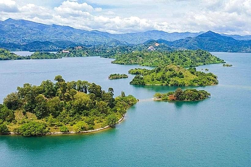
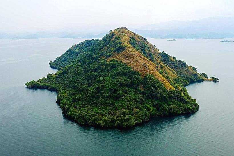
Bat Island, officially known as Napoleon Island, is a prominent volcanic landmass situated in the Karongi bay of Lake Kivu in western Rwanda. It serves as a significant ecological sanctuary and a primary destination for boat-based excursions from the town of Karongi.
Visual Characteristics
The island is characterized by a distinctive symmetrical profile resembling a bicorne hat, reaching an elevation of approximately 150 meters above the lake surface. The terrain consists of steep, rocky slopes composed of volcanic basalt and dark latosol. Vegetation is dominated by dense thickets of eucalyptus, acacia, and indigenous scrub that provide a closed canopy for the resident fauna.
Location & Access Logistics
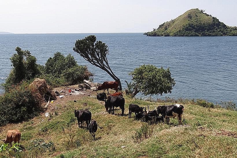
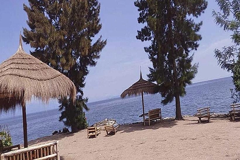
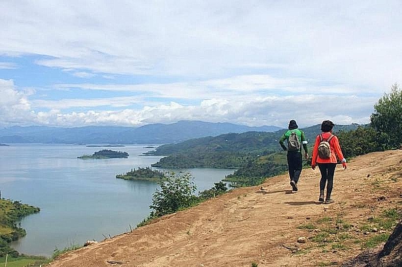
The island is located 3.2km west of the Karongi (Kibuye) urban waterfront. Access is exclusively by water via motorized wooden boats or kayaks departing from the Karongi boat terminal or local hotel piers. Boat transit typically requires 20 to 30 minutes, while kayaking takes approximately 60 to 90 minutes depending on wind and surface chop.
Historical & Ecological Origin
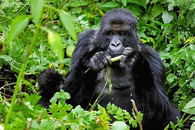
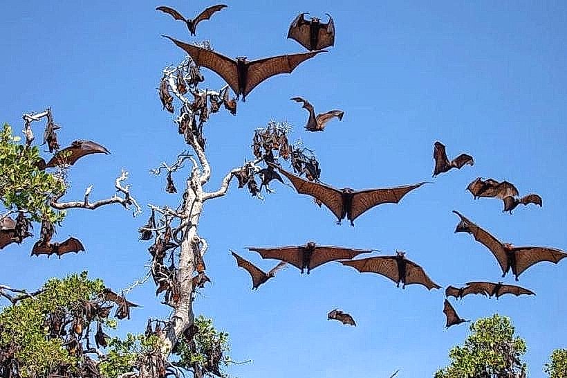
Formed by tectonic rifting and volcanic activity during the creation of the Albertine Rift, the island is a high-altitude lacustrine remnant. It is ecologically notable for hosting a colony of several thousand Straw-colored Fruit Bats (Eidolon helvum). Historically, the island’s silhouette led to its colonial-era designation as "Napoleon Island," referring to the French emperor's headwear.
Key Highlights & Activities
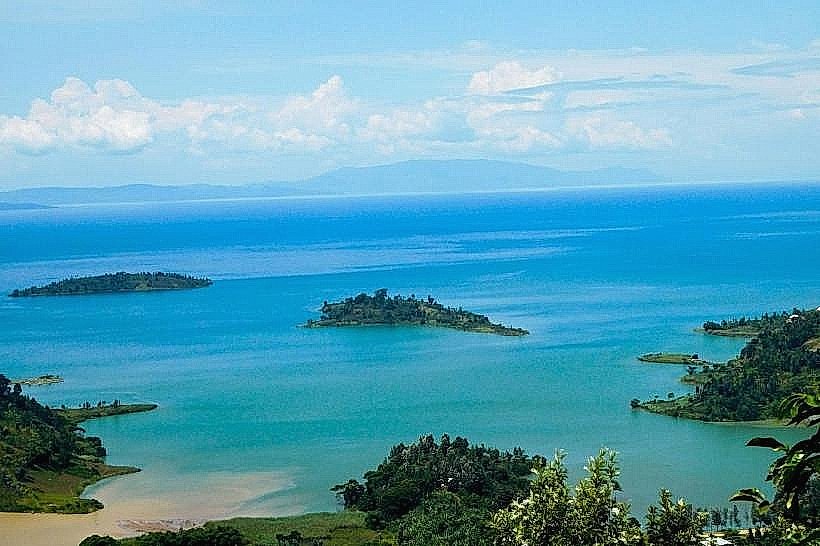
Hiking to the island's summit is a primary activity, following a steep 150-meter elevation gain on a dirt trail. Observation of the fruit bat colony occurs near the peak, where the animals roost in the treetops. Swimming in the deep, clear waters surrounding the island is permitted, and panoramic photography of the Lake Kivu archipelago is possible from the summit.
Infrastructure & Amenities
Infrastructure is minimal and non-commercial; there are no permanent buildings, toilets, or food vendors on the island. Shade is natural and provided by the dense tree canopy. 4G cellular signal is generally accessible from the Karongi mainland towers, but there is no grid power or localized cellular infrastructure on the island itself.
Best Time to Visit
The dry seasons from June to August and December to February offer the most stable trail conditions for hiking. Early morning (07:00–09:00) provides the highest probability of flat water for the boat crossing. Late afternoon visits are optimal for observing the bats as they become active near dusk.
Facts & Legends
A local historical oddity involves the "Singing Fishermen" of Lake Kivu, who navigate the waters around the island in three-hulled trimaran boats. A specific tip for hikers: the bat colony often reacts to loud noises (such as a clap), resulting in thousands of bats taking flight simultaneously, though visitors are encouraged to minimize disturbance to the ecosystem.
Nearby Landmarks
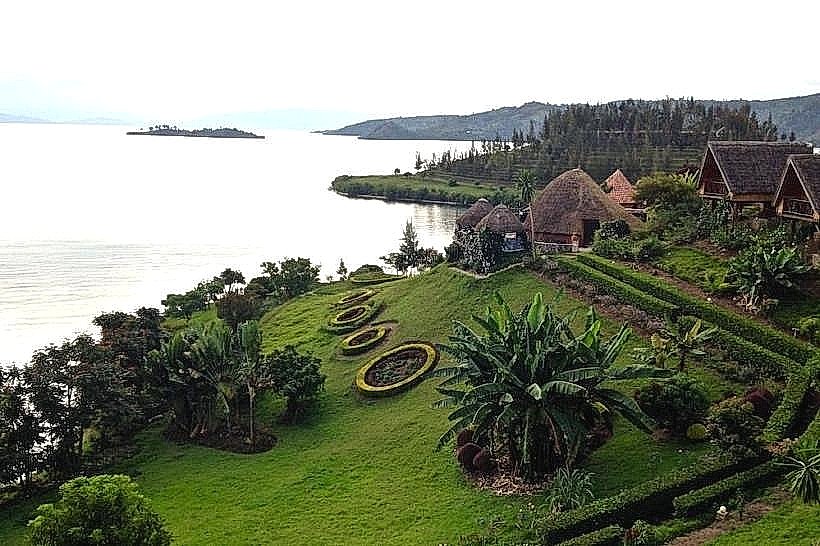
Amahoro Island – 1.8km South
Karongi Beach – 3.2km East
Monkey Island – 0.9km Southwest
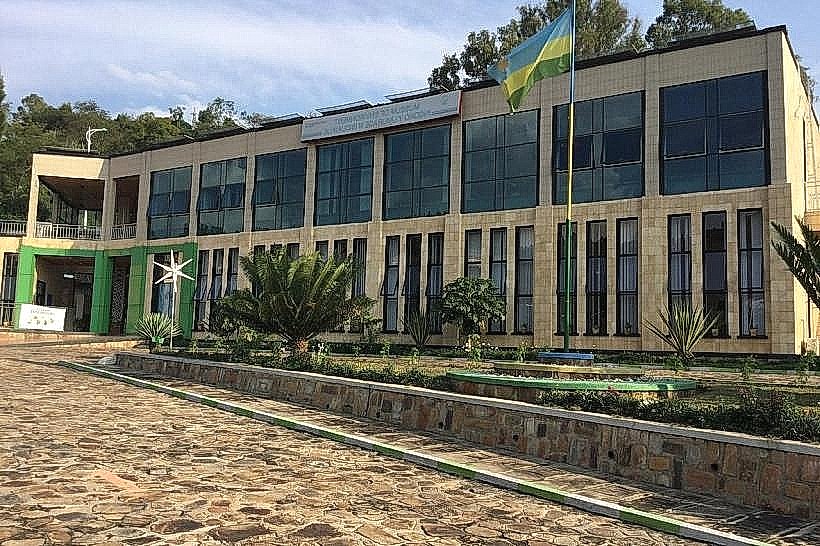
Museum of Environment – 3.8km Northeast
Peace Island – 1.8km South