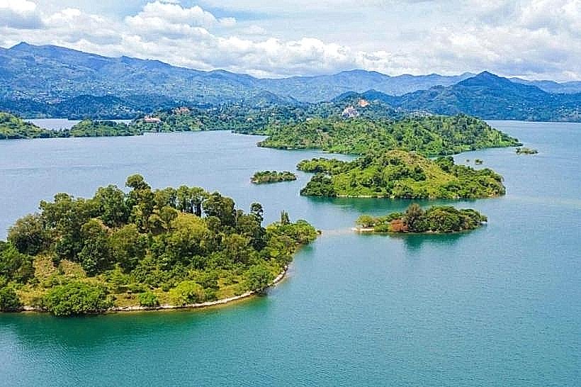
Landmark: Napoleon Island
City: Karongi
Country: Rwanda
Continent: Africa
Napoleon Island, Karongi, Rwanda, Africa
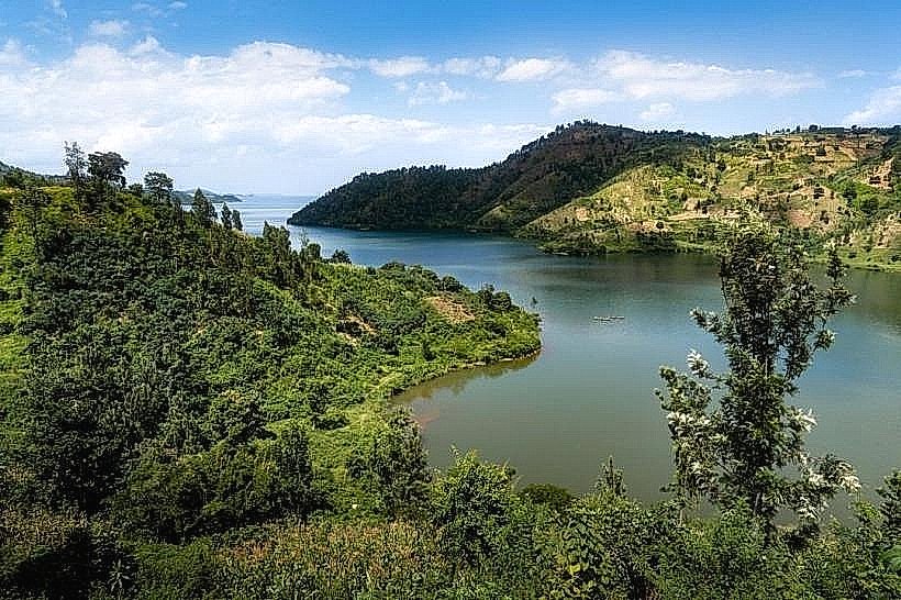
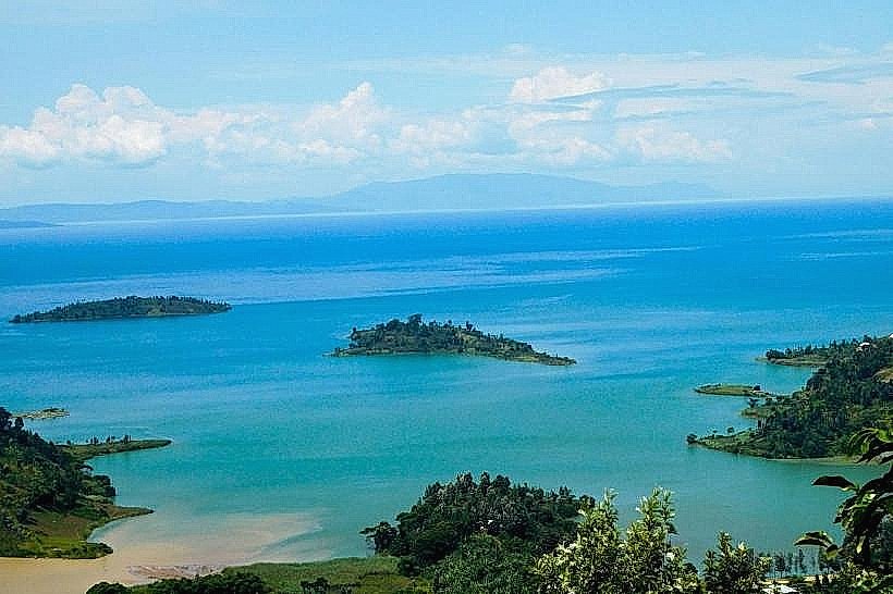
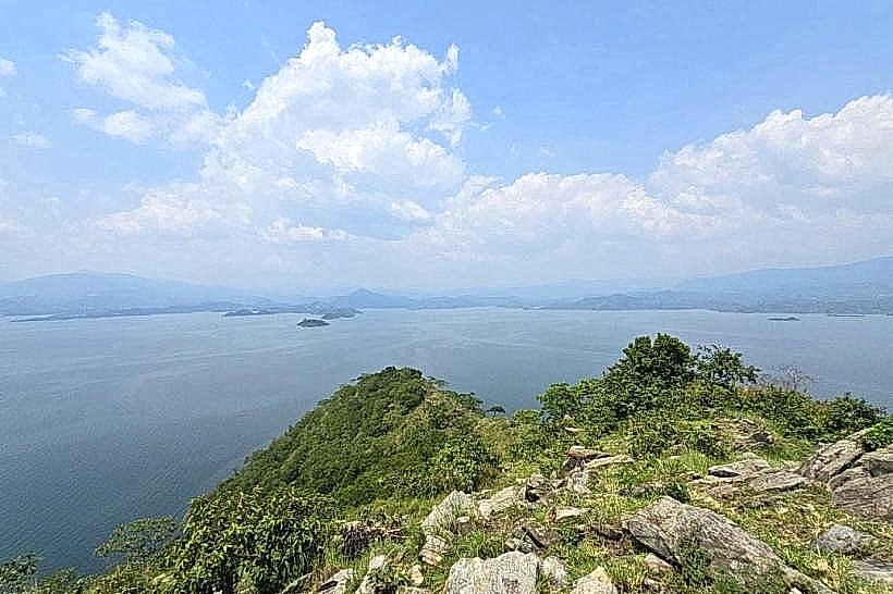
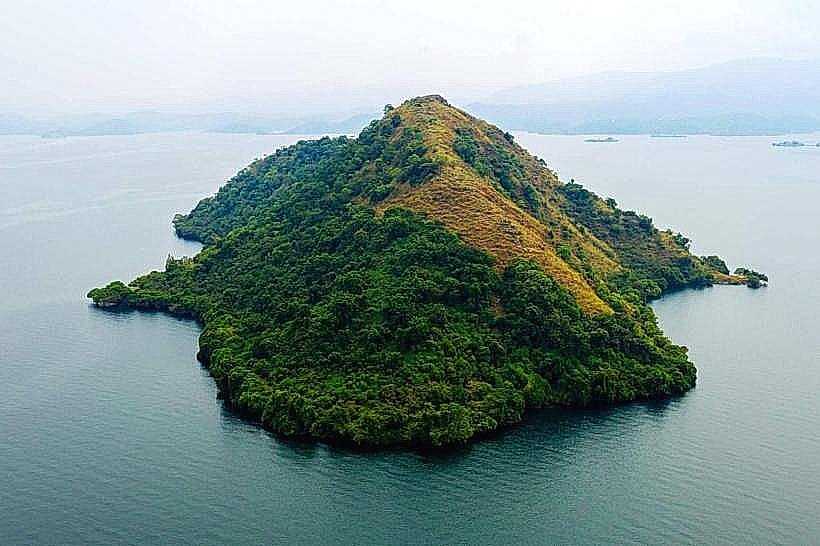
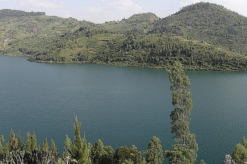
Napoleon Island is a distinctive volcanic landform situated in Lake Kivu, approximately 2.5km west of the Karongi (Kibuye) waterfront. It is the most prominent of the several small islands in the Karongi archipelago, recognized for its symmetrical, hat-like profile.
Visual Characteristics
The island is characterized by its steep, conical shape and dense cover of indigenous trees and thick secondary forest. From a distance, its silhouette resembles a bicorne hat. The shoreline is rocky and lacks sandy beaches, with deep, clear water surrounding the base.
Location & Access Logistics
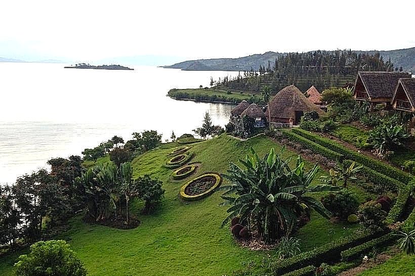
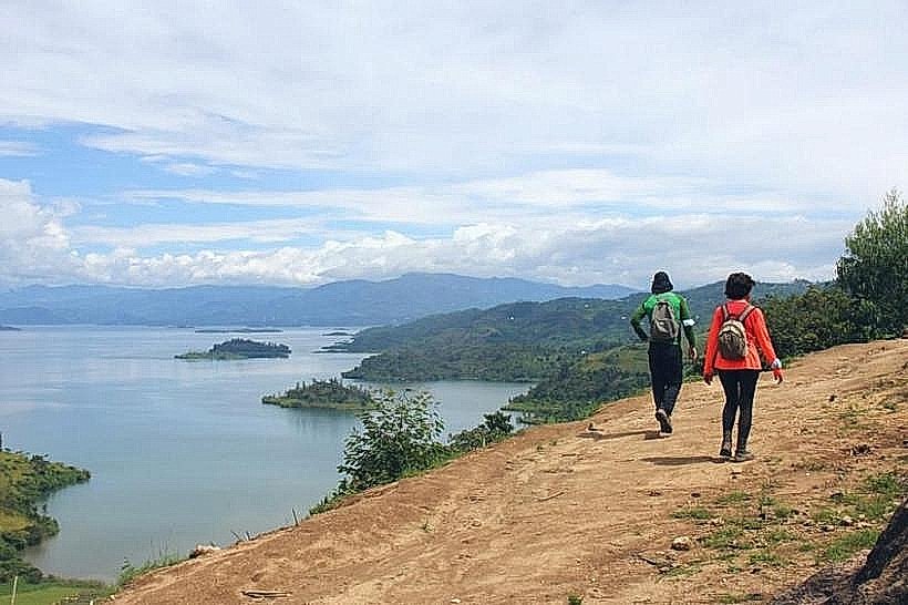
Access is exclusively by boat from the Karongi town docks or nearby lakeside hotels. The boat trip takes approximately 20 to 30 minutes. Most visitors reach the island via organized tours that include a local guide. A narrow, steep hiking trail leads from the designated landing rock to the island's highest point.
Historical & Ecological Origin
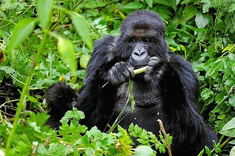
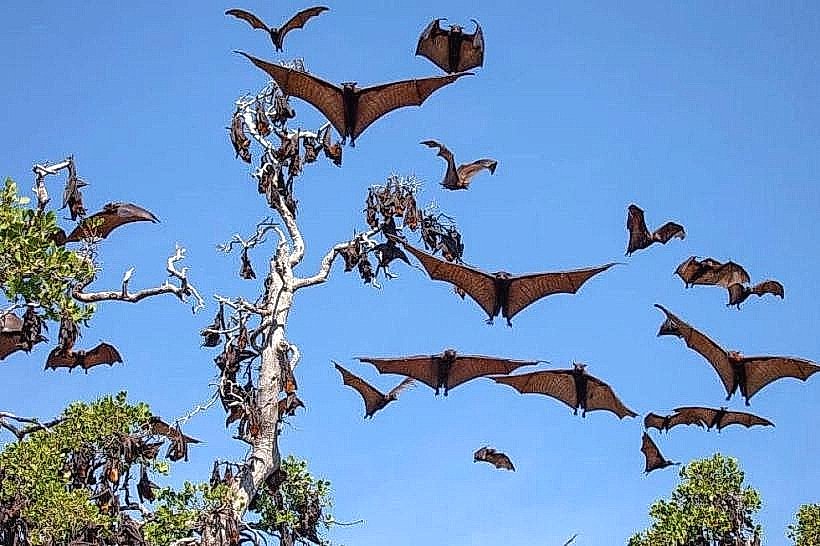
Geologically, the island is a volcanic plug formed by the tectonic activity of the Albertine Rift. Its name is derived from its physical resemblance to the hat worn by Napoleon Bonaparte. Ecologically, it serves as a critical sanctuary for a massive colony of straw-colored fruit bats (Eidolon helvum) and various bird species, protected by its isolation from the mainland.
Key Highlights & Activities
The primary activity is the hike to the summit, which offers a 360-degree view of the Karongi coastline and distant Congolese mountains. At the top, visitors can observe thousands of fruit bats roosting in the canopy; making noise often prompts the colony to take flight simultaneously. The surrounding waters are used for swimming and monitored kayaking.
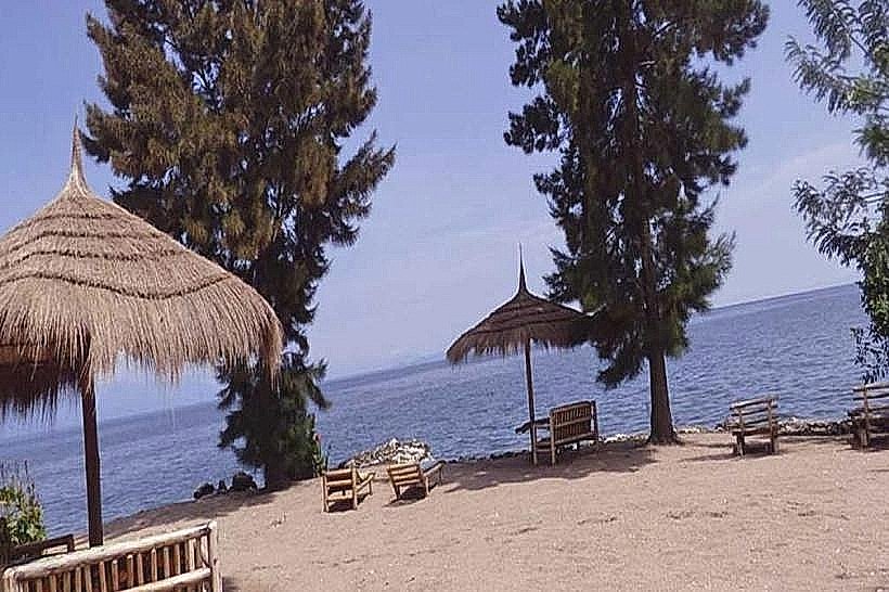
Infrastructure & Amenities
There is no permanent human infrastructure on the island. Amenities are restricted to the natural hiking trail and a small cleared area at the summit. There are no restrooms, shaded shelters, or food vendors. 4G cellular signal is available but can be intermittent depending on the side of the island.
Best Time to Visit
The early morning (07:00 to 09:00) is the best time for the hike to avoid high temperatures and to see the bats while they are most active. Late afternoon trips (16:00 to 17:30) are preferred for photography of the sunset over the lake. The dry seasons (June–August) provide the safest trail conditions.
Facts & Legends
A local "secret" is the presence of several large monitor lizards that inhabit the rocky shoreline, often seen sunning themselves near the water's edge. Logistically, it is recommended to wear sturdy footwear with good grip, as the volcanic soil and leaf litter on the steep trail can be slippery.
Nearby Landmarks
Amahoro Island: 1.5km South
Karongi Waterfront: 2.5km East
Environment Museum: 3.0km East
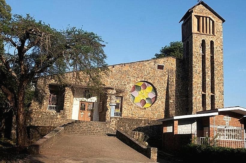
Kibuye Catholic Church: 3.2km Northeast
Peace Island: 1.2km Southwest