Landmark: Ndaba Waterfall
City: Karongi
Country: Rwanda
Continent: Africa
Ndaba Waterfall, Karongi, Rwanda, Africa
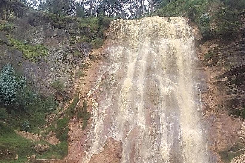
Ndaba Waterfall is a vertical aquatic drop situated along the RN7 highway in the Karongi District of western Rwanda. It serves as a prominent geological landmark and transit stop between the capital city of Kigali and the lakeside town of Karongi.
Visual Characteristics
The waterfall features a multi-tiered cascade over a sheer face of dark metamorphic rock and volcanic basalt. The surrounding vegetation is comprised of dense tropical ferns, mosses, and eucalyptus trees that cling to the steep ravine walls. During the rainy season, the water volume increases significantly, creating a high-velocity white plume against the dark stone.
Location & Access Logistics
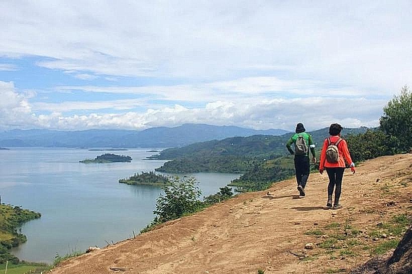
The site is located approximately 110km west of Kigali and 25km east of Karongi via the RN7 highway. It is positioned directly adjacent to the main road, making it accessible by private vehicle or regional bus services. A small gravel pull-off area provides limited parking for cars and motorcycles at the edge of the canyon.
Historical & Ecological Origin
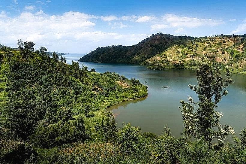
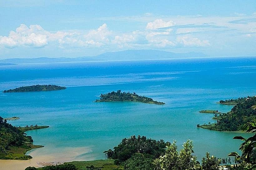
The waterfall was formed by the erosion of the Ndaba River as it descends from the high-altitude interior toward the Lake Kivu basin. Geologically, the site sits within the Albertine Rift region, characterized by fractured rock layers and significant elevational shifts. Historically, the site is associated with local oral traditions regarding the ancestral inhabitants of the Karongi highlands.
Key Highlights & Activities
The primary activity is sightseeing from the roadside observation point, which offers a direct view of the main drop. Local youth frequently perform choreographed climbs of the slippery rock face to demonstrate the scale of the falls. Short walking paths lead from the road toward the upper crest of the cascade.
Infrastructure & Amenities
Infrastructure is minimal, consisting of a paved viewing area and a small cluster of local artisan stalls selling wood carvings and crafts. There are no public restrooms or formal dining facilities on-site; travelers typically utilize amenities in the town of Rubengera or Karongi. 4G cellular signal is stable due to the proximity of the main transit corridor.
Best Time to Visit
The highest water volume occurs during the primary rainy seasons from March to May and October to November. Photography is optimal during the mid-morning hours (09:00–11:00) when sunlight enters the ravine and illuminates the mist. During the peak dry season in July, the flow may reduce to a narrow stream.
Facts & Legends
The waterfall is named after a legendary local figure, Ndaba, who according to myth, discovered a honeycomb at the top of the falls and was so consumed by eating it that he fell to his death. A specific tip for visitors: keep small change available for the local storytellers and climbers who provide informal tours of the site.
Nearby Landmarks
Rubengera Town Center – 4.2km West
Congo Nile Trail Segment – 3.0km West
Karongi District Hospital – 15.0km West
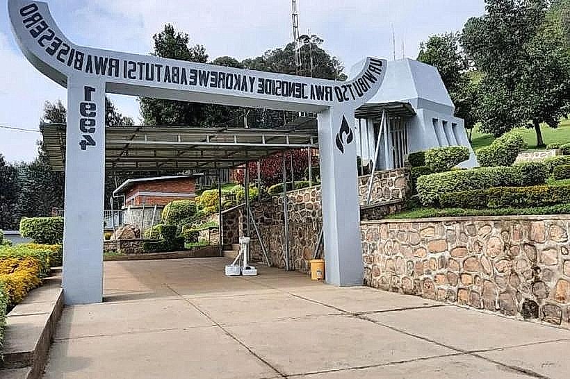
Nyange Genocide Memorial – 12.0km East