Landmark: Kibuye Panorama
City: Karongi
Country: Rwanda
Continent: Africa
Kibuye Panorama, Karongi, Rwanda, Africa
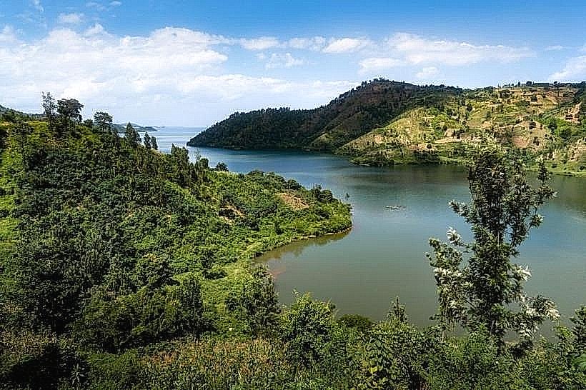
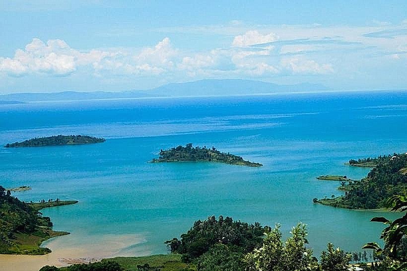
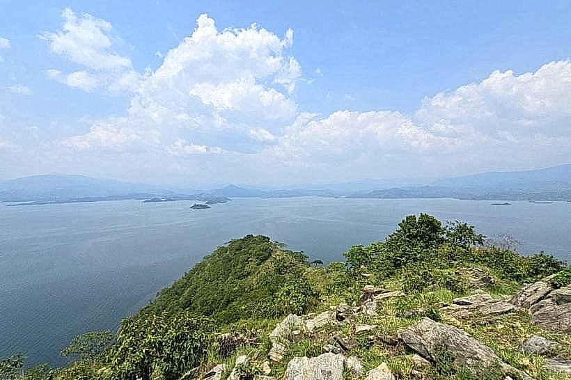
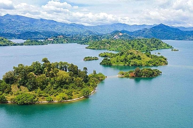
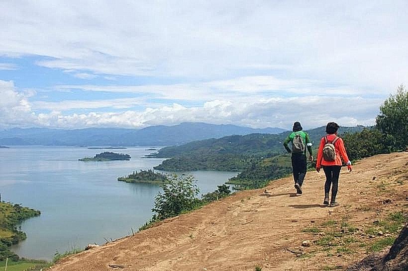
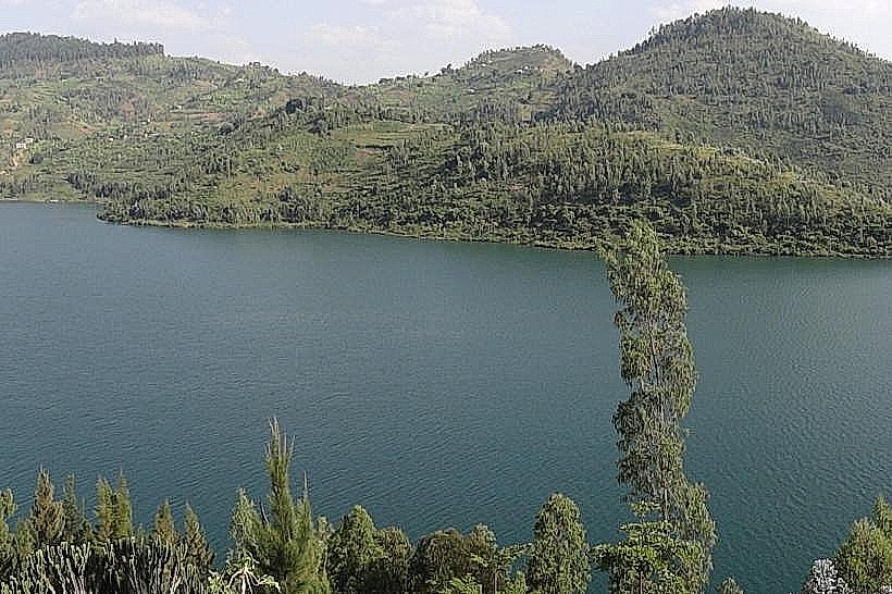
Kibuye Panorama is a prominent scenic lookout and elevated hospitality zone located in the town of Karongi (formerly Kibuye) on the eastern shores of Lake Kivu. It serves as a primary vantage point for observing the archipelago of volcanic islands within the Karongi bay.
Visual Characteristics
The site is characterized by steep, terraced ridgelines composed of red volcanic soil and metamorphic rock. The vegetation consists of dense eucalyptus groves and manicured gardens containing tropical flora such as bougainvillea and hibiscus. From the elevation of approximately 1,500 meters, the water appears as a deep turquoise, contrasted by the silhouettes of dark green islands.
Location & Access Logistics
Kibuye Panorama is situated 135km west of Kigali via the RN7 highway. It is located approximately 1.5km from the Karongi town center and is accessible via paved secondary roads leading toward the lakefront. Local transit is available via motorcycle taxis (motos) from the main Karongi bus terminal. On-site parking is restricted to designated lodge and viewpoint pull-offs.
Historical & Ecological Origin
The topography of the area was formed by the tectonic rifting of the East African Rift Valley, which created the deep, stratified basin of Lake Kivu. Historically, this elevated zone was developed during the colonial and post-independence eras as a retreat due to its temperate climate and panoramic views. The underlying geology consists of volcanic basalt and ancient sedimentary layers typical of the Albertine Rift.
Key Highlights & Activities
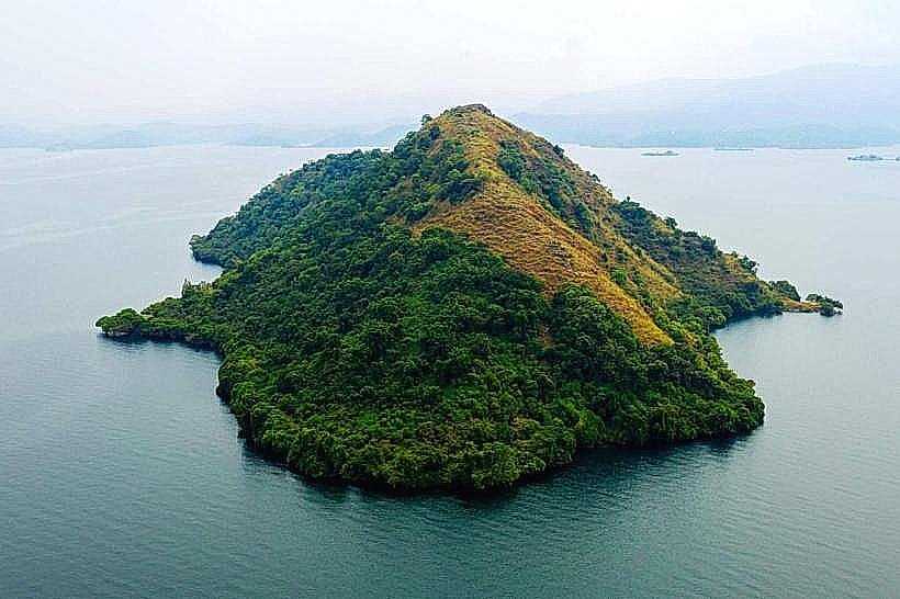
Landscape photography is a primary activity, specifically focusing on the "Napoleon's Hat" silhouette of Napoleon Island. Guided walking tours frequently traverse the ridgelines to connect with the Congo Nile Trail segments. Boat departures for island hopping are coordinated from the docks situated at the base of the panorama's cliffs.
Infrastructure & Amenities
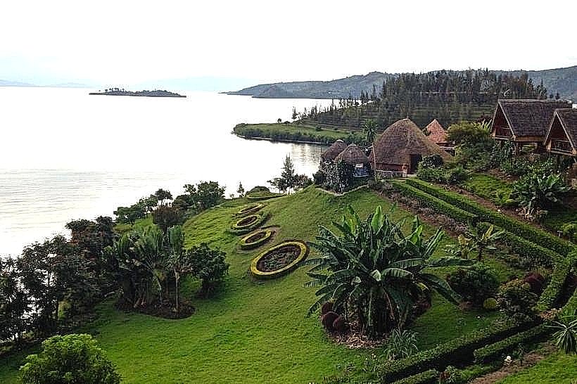
The area is serviced by several mid-range and luxury lodges, including Moriah Hill Resort and Home Saint Jean, which provide restrooms, dining facilities, and tiered terrace seating. High-speed 4G and 5G cellular coverage is maintained across the ridgeline. Public benches and shaded gazebos are located at specific lookout points along the main road.
Best Time to Visit
The most favorable conditions occur during the long dry season from June to August. Sunset (17:30–18:15) is the optimal time for photography as the sun descends behind the mountains of the Democratic Republic of the Congo. The morning hours (06:00–08:00) are preferred for clear views of the lake before afternoon mist develops.
Facts & Legends
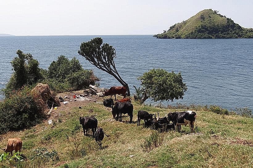
Local lore suggests the many islands visible from the panorama were once the tops of hills submerged when the lake was formed by volcanic blockages millions of years ago. A specific tip for visitors: the "singing fishermen" of Karongi can be observed from this height as they coordinate their three-hulled boats into formation just before dusk.
Nearby Landmarks
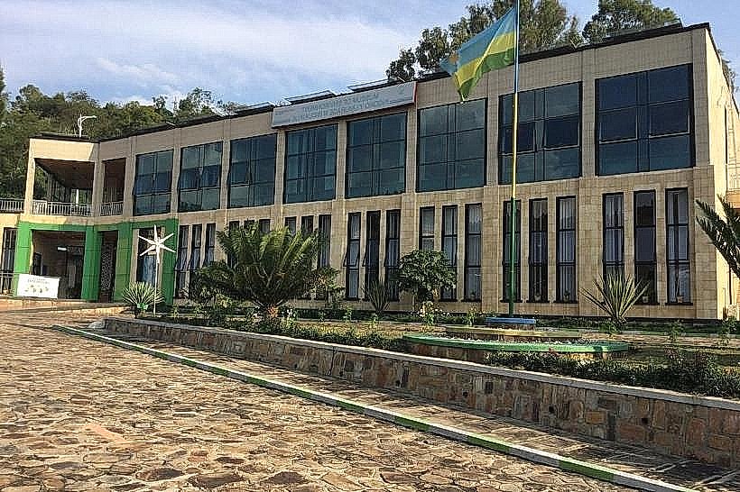
Museum of Environment – 1.2km North
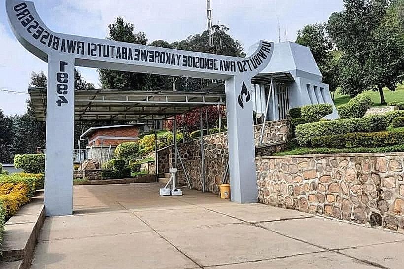
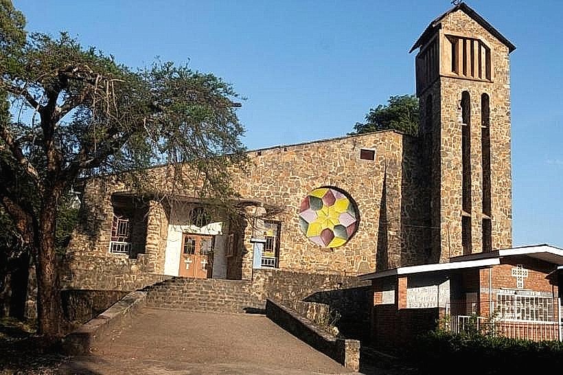
St. Peter's Church (Genocide Memorial) – 0.9km East
Napoleon Island – 3.5km West (viewable)
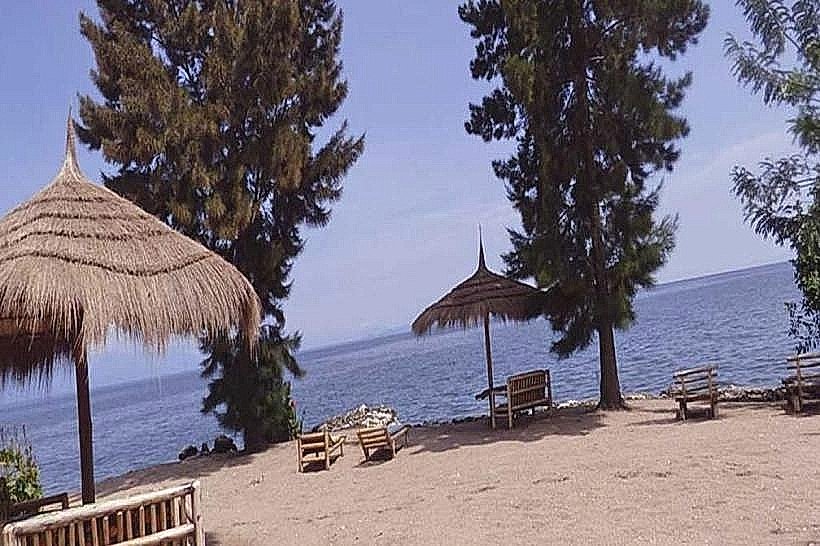
Karongi Beach – 2.0km Southwest
Amahoro Island – 2.8km Southwest (viewable)