Landmark: Karongi Beach
City: Karongi
Country: Rwanda
Continent: Africa
Karongi Beach, Karongi, Rwanda, Africa
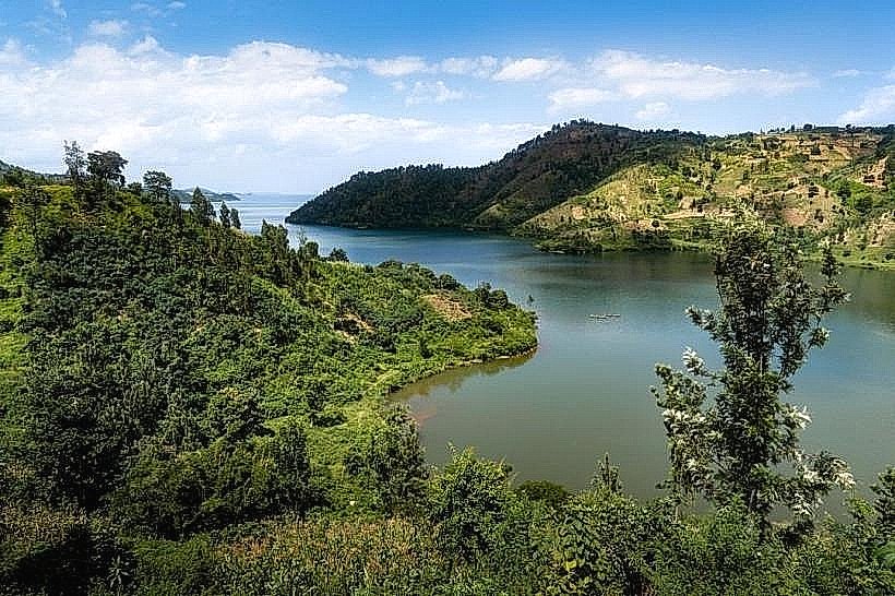
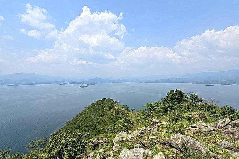
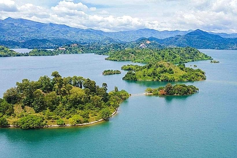
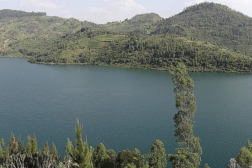
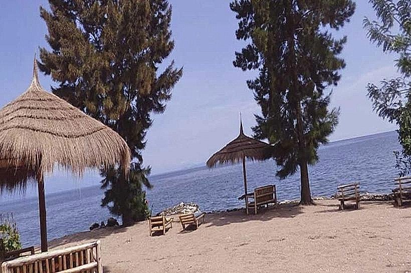
Karongi Beach is a coastal stretch along the eastern shores of Lake Kivu, situated in the town of Karongi (formerly Kibuye) in western Rwanda. It serves as a primary hub for lacustrine transport and inland water recreation within the Western Province.
Visual Characteristics
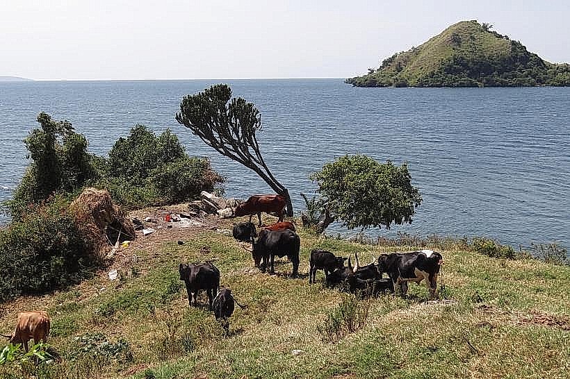
The shoreline features high-density volcanic rock formations interspersed with pockets of fine-grained, light-beige sand. The water transitions from a clear emerald green near the shallows to a deep cobalt in the center of the lake. The surrounding topography consists of steep, terraced hillsides dominated by eucalyptus trees and local agricultural plots.
Location & Access Logistics
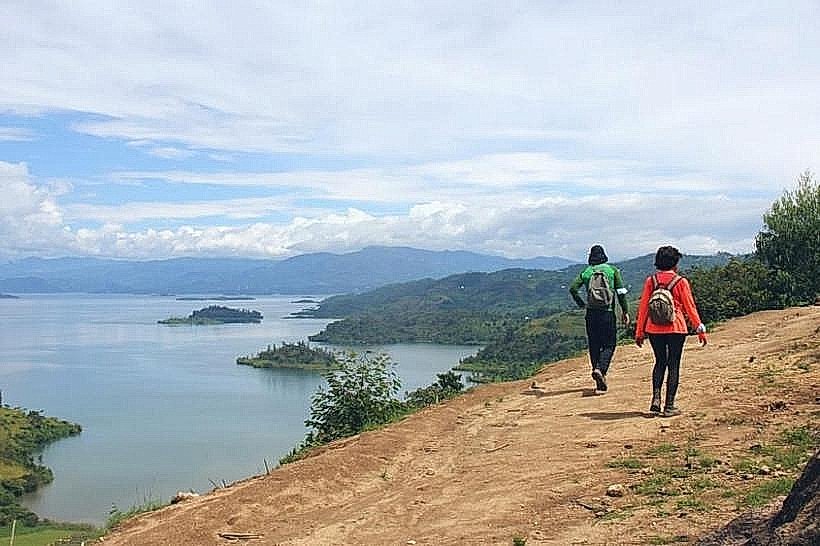
The beach is located 130km west of Kigali via the RN1 and RN7 highways. Local access is primarily through the Karongi-Nyamasheke Road. Small boat transfers operate frequently from the Karongi boat terminal to various lakeside hotels and nearby islands. Parking is available at the public pier and individual lakefront properties.
Historical & Ecological Origin
The site is part of the Albertine Rift, formed by tectonic activity approximately 1 to 5 million years ago. Lake Kivu is a meromictic lake, characterized by stratified water layers that do not mix. Historically, the Karongi Waterfront served as a quiet colonial-era retreat and remains a critical site for the local fishing industry.
Key Highlights & Activities
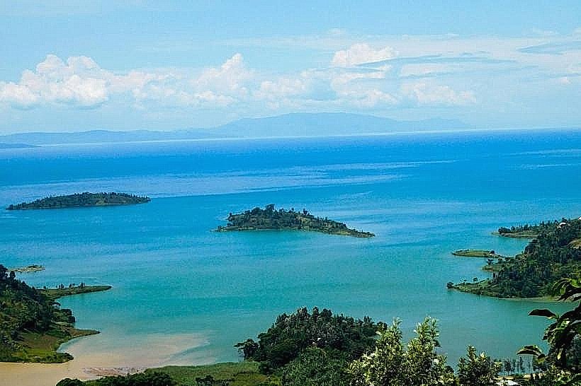
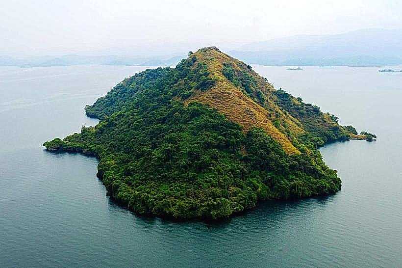
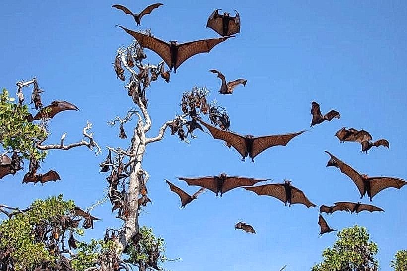
Motorized boat trips to Amahoro Island and Napoleon Island depart from the shoreline throughout the daylight hours. Hiking the 150-meter elevation trail on Napoleon Island allows for observation of a large fruit bat colony. Kayaking and swimming are permitted, though limited to designated zones near the resorts.
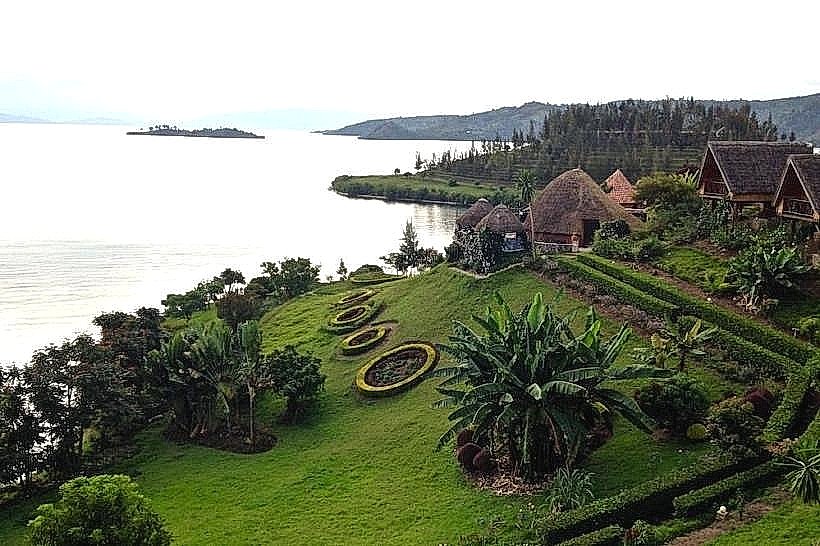
Infrastructure & Amenities
Public restrooms are concentrated near the main boat terminal and within private hotel grounds. Shade is provided by thatched gazebos and indigenous trees along the upper ridge. 4G and 5G cellular signals are stable across the waterfront. Formal food vendors and restaurants are situated within 200 meters of the water's edge.
Best Time to Visit
Dry seasons from June to August and December to February offer the highest visibility for photography. Morning light (07:00 to 09:00) provides the flattest water surface for reflections. The region experiences a tropical highland climate, with temperatures consistently ranging between 15°C and 27°C.
Facts & Legends
Local tradition identifies Napoleon Island as such due to its silhouette resembling a bicorne hat. A specific local tip: evening boat tours often coincide with the departure of "three-masted" fishing boats, which use long wooden poles and lamps to attract Sambaza sardines during the night.
Nearby Landmarks
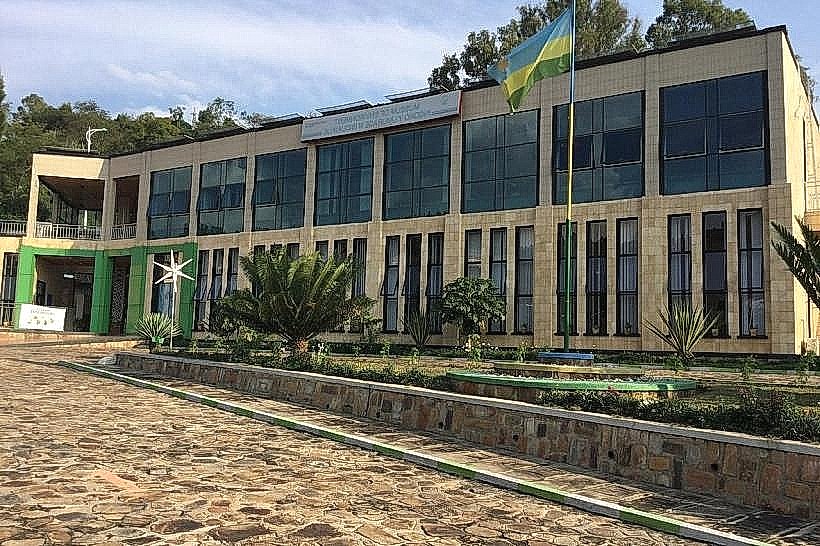
Museum of Environment – 0.8km North
Napoleon Island – 3.2km West (via boat)
Amahoro Island – 2.5km Southwest (via boat)
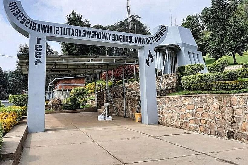
Bisesero Genocide Memorial – 4.8km Southeast