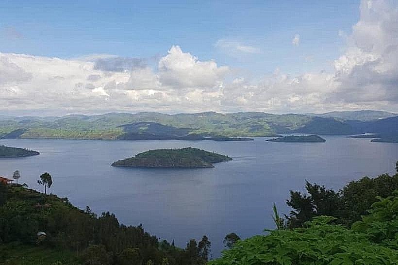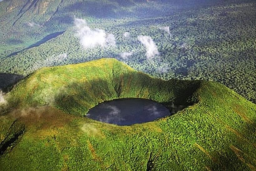
Landmark: Lake Burera
City: Musanze
Country: Rwanda
Continent: Africa
Lake Burera, Musanze, Rwanda, Africa
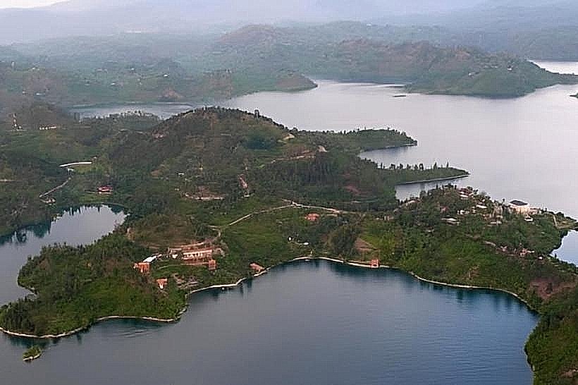
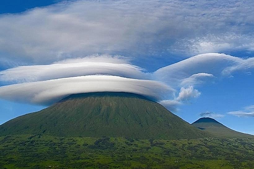
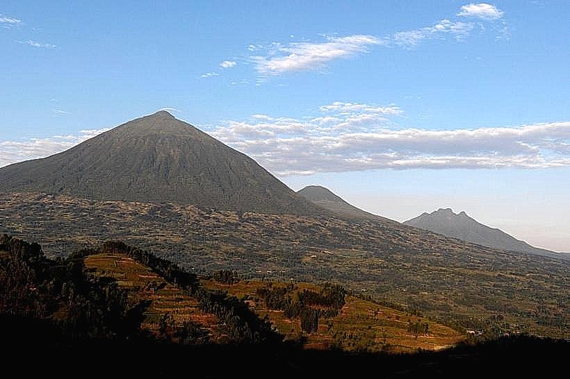
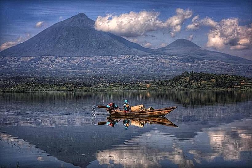
Lake Burera is a high-altitude freshwater body located in the Burera District of the Northern Province. It sits at an elevation of 1,862 meters, positioned at the base of Mount Muhabura and separated from its twin, Lake Ruhondo, by a 1-kilometer-wide strip of volcanic rock.
Visual Characteristics
The lake is characterized by deep blue waters and a jagged, irregular shoreline with numerous steep-sided peninsulas. It contains six major islands, including Cyuza and Munanira, which feature dense green vegetation and small agricultural terraces. The surrounding landscape consists of high volcanic ridges and intensely cultivated hillsides that drop sharply into the water. Unlike many tropical lakes, Burera lacks sandy beaches, with its perimeter composed mostly of dark volcanic stone and clay.
Location & Access Logistics
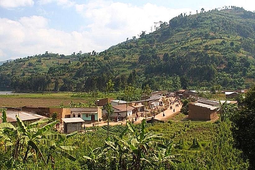
The lake is situated 15km northeast of the town of Musanze. Access is via the paved RN4 highway to Musanze, followed by a 45-minute drive on the winding, unpaved Cyanika-gate road or the more rugged mountain track via Kidaho. Private 4x4 vehicles are recommended for navigating the steep, gravel-heavy lakeside terrain. Public transport via "matatus" (minibuses) to the Burera district office is available, followed by motorcycle taxi (moto) transit to the various boat landing sites or the Ntaruka power station.
Historical & Ecological Origin
Lake Burera was formed roughly 10,000 years ago during the late Pleistocene epoch by lava flows from the Virunga volcanoes. These flows blocked the regional river system, creating a natural dam that flooded the valley. Geologically, it is a "lava-dammed lake" with a maximum depth of approximately 173 meters. It serves as a primary water source for the Ntaruka Hydroelectric Power Plant, which utilizes the 100-meter elevation drop between Burera and Ruhondo to generate electricity.
Key Highlights & Activities
Boat trips using traditional wooden canoes or small motorized engines are the primary method for exploring the islands. Camping is permitted on Cyuza Island, where dedicated sites are maintained. Bird watching is a specific action available, with frequent sightings of kingfishers and cormorants along the reed beds. Hiking the ridgeline between the Twin Lakes provides a 360-degree view of the Virunga Massif and the lake's interior peninsulas.
Infrastructure & Amenities
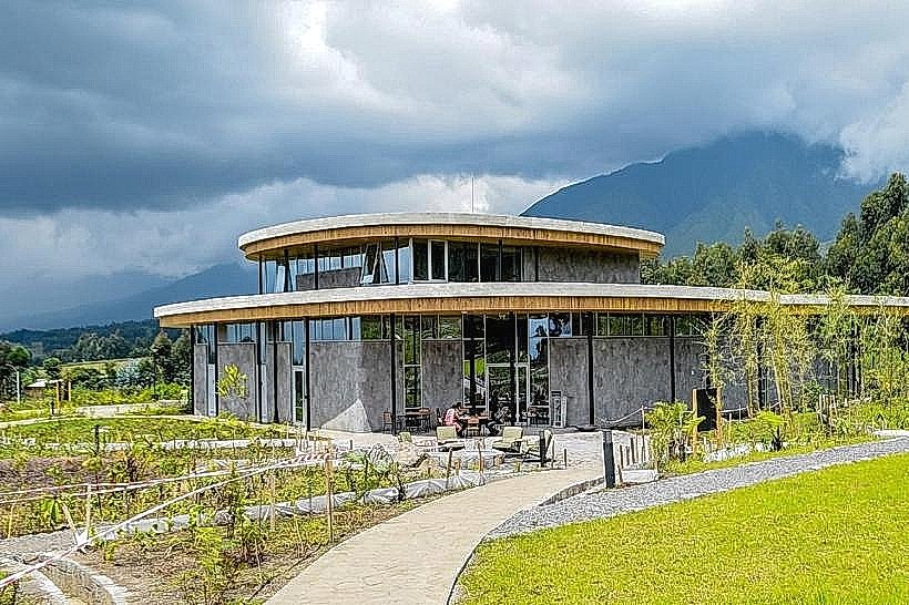
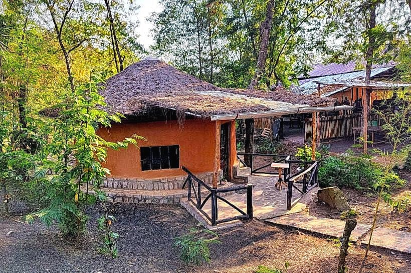
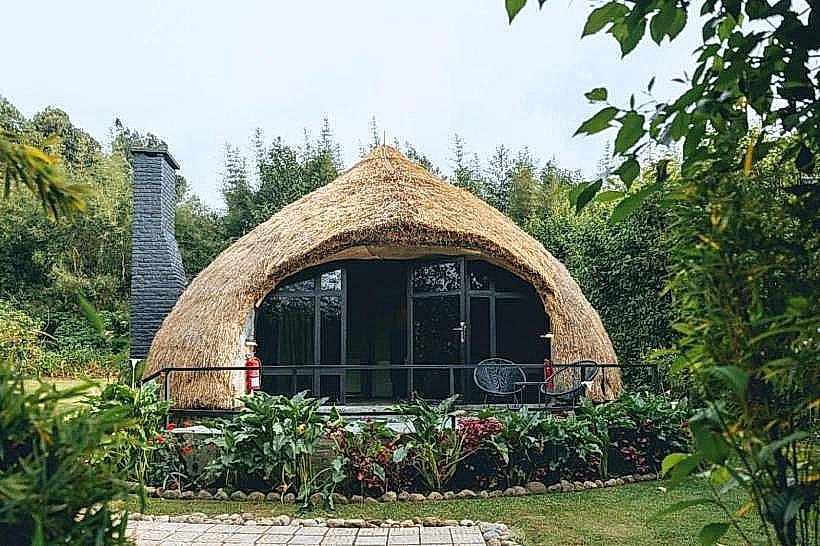
Infrastructure is limited to a few boutique eco-lodges and a small visitor briefing area near the Ntaruka station. Public restrooms are only available within these private establishments. 4G and 5G cellular signal is consistent across the lake surface due to its open topography. There are no centralized food vendors or shaded public plazas; visitors must be self-sufficient or utilize lodge-based dining. Small kiosks in the nearby Kidaho trading center sell basic supplies and bottled water.
Best Time to Visit
The best time for photography is the early morning (06:30 to 08:30) when the Virunga volcanoes are often reflected in the calm water. The dry seasons (June–August and December–February) provide the clearest skies for viewing Mount Muhabura. Late afternoon visits (16:00 to 17:30) are optimal for capturing the silhouette of the islands against the sunset.
Facts & Legends
A verified historical oddity is that Lake Burera is 100 meters higher in elevation than Lake Ruhondo, despite being less than a kilometer apart. Local legend suggests the islands were once inhabited by a clan of powerful rainmakers who controlled the climate of the Northern Province. A unique logistical fact is that the lake is a designated "no-swim" zone for many due to its extreme depth and lack of shallow shelf areas near the shore.
Nearby Landmarks
Lake Ruhondo – 0.8km South
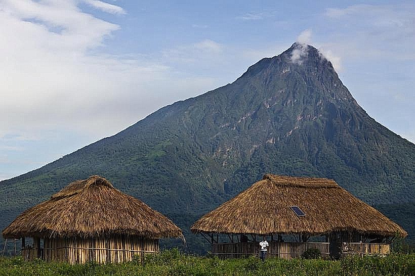
Mount Muhabura – 8.5km North
Ntaruka Hydroelectric Power Station – 0.5km South
Volcanoes National Park (Gahinga sector) – 12.0km Northwest
Musanze Town Center – 15.0km Southwest