Landmark: Musanze Caves
City: Musanze
Country: Rwanda
Continent: Africa
Musanze Caves, Musanze, Rwanda, Africa
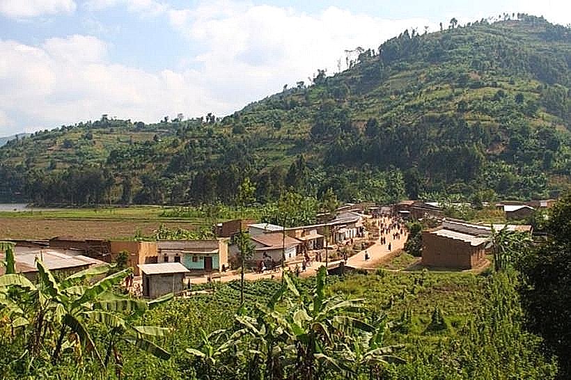
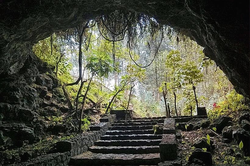
The Musanze Caves are a 2-kilometer long subterranean geological structure located in the Musanze District of the Northern Province. They are situated at the foothills of the Volcanoes National Park, approximately 100km northwest of Kigali and 2km from the Musanze town center.
Visual Characteristics
The cave system consists of high-ceilinged volcanic tunnels characterized by jagged basalt rock surfaces and collapsed roof sections that create natural skylights. Interior colors range from charcoal grey to deep ochre, with green ferns and mosses clustering beneath the light-admitting openings. The floor is composed of uneven volcanic scree and damp earth, with some sections containing large basalt boulders. Extensive colonies of bats inhabit the darker recesses, contributing to the cavernous acoustic profile.
Location & Access Logistics
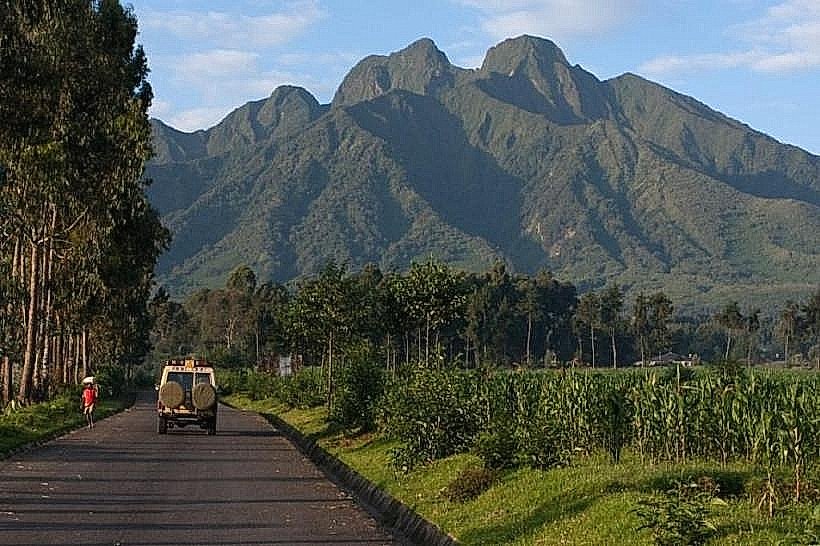
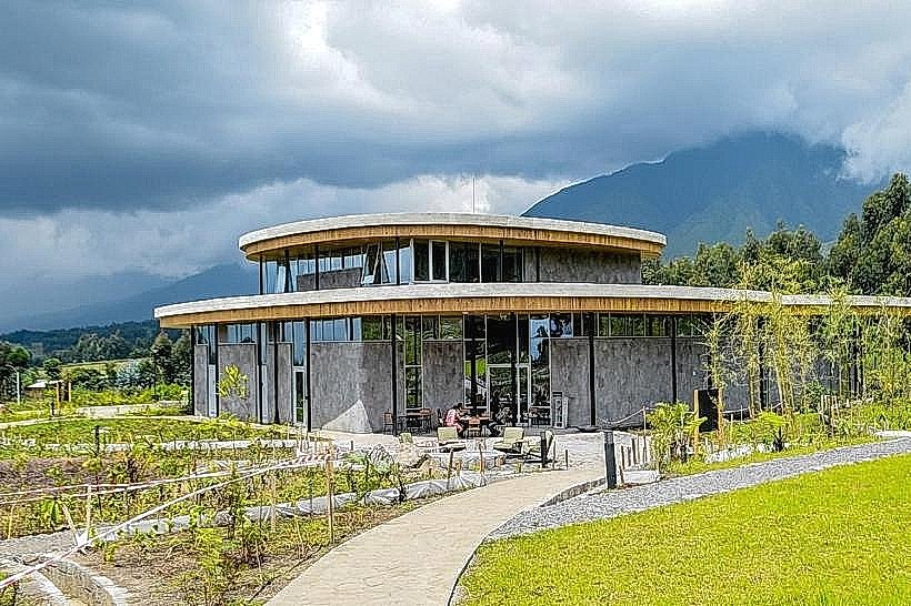
The site is accessed via the RN4 highway (Kigali–Musanze). From the Musanze town center, a paved road leads to the visitor reception center at the cave entrance. Private vehicles can utilize the on-site gravel parking lot. Public transport via "matatus" (minibuses) to Musanze is frequent; from the town station, motorcycle taxis (motos) provide direct transit to the gate. Entry is strictly regulated, requiring a permit and an authorized guide from the Rwanda Development Board (RDB).
Historical & Ecological Origin
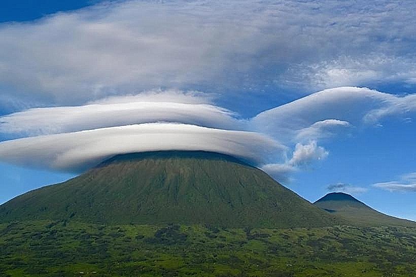
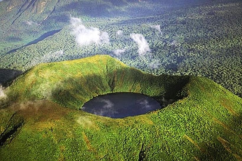
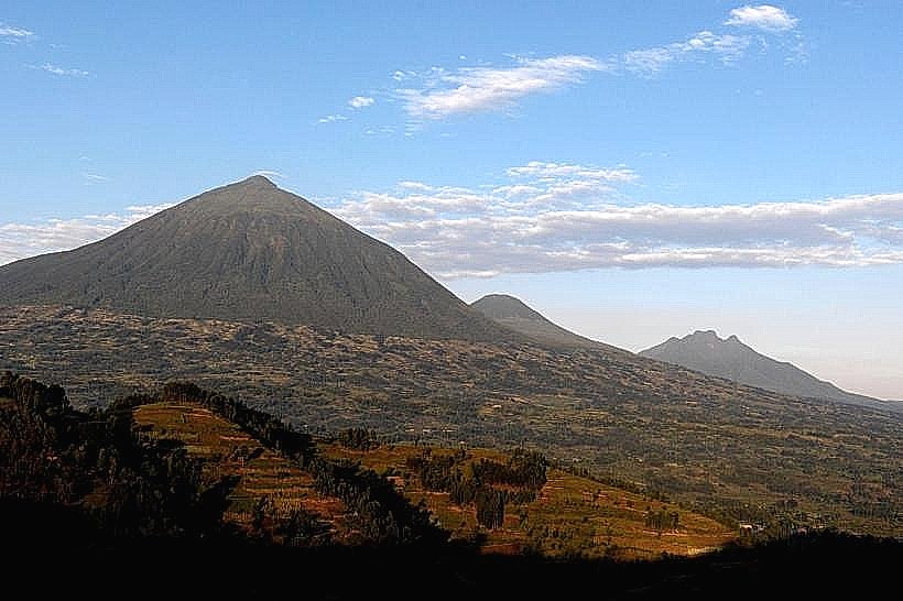
The caves were formed 65 million years ago by Cenozoic volcanic activity, specifically from the lava flows of the Bisoke and Sabyinyo volcanoes. They are classified as lava tubes, created when the surface of a lava flow cooled and hardened while the molten interior continued to drain out. Historically, the caves served as a primary military shelter during regional conflicts and a site for traditional coronation rituals for local kings.
Key Highlights & Activities
The primary activity is a 2-hour guided spelunking tour through the 2km main corridor. Visitors utilize headlamps and helmets to navigate the dark zones and narrow passages. Photography is permitted throughout the accessible sections, particularly at the "cathedral" areas where light shafts penetrate the ceiling. The tour includes an educational briefing on the volcanic formation of the Albertine Rift.
Infrastructure & Amenities
The visitor center features modern public restrooms and a briefing area. 4G and 5G cellular signals are strong at the entrance but are lost once inside the cave. The interior is equipped with 800 meters of concrete walkways and steel staircases in steep sections to improve accessibility. There are no food vendors inside the cave; visitors must bring their own water. Helmets, headlamps, and gloves are provided as part of the entrance fee.
Best Time to Visit
The caves maintain a constant internal temperature and can be visited year-round. However, the dry seasons (June–August and December–February) are optimal to avoid muddy trail conditions at the entrance. For photography of the skylights, midday (11:00 to 13:00) is the best time as the sun is positioned directly overhead.
Facts & Legends
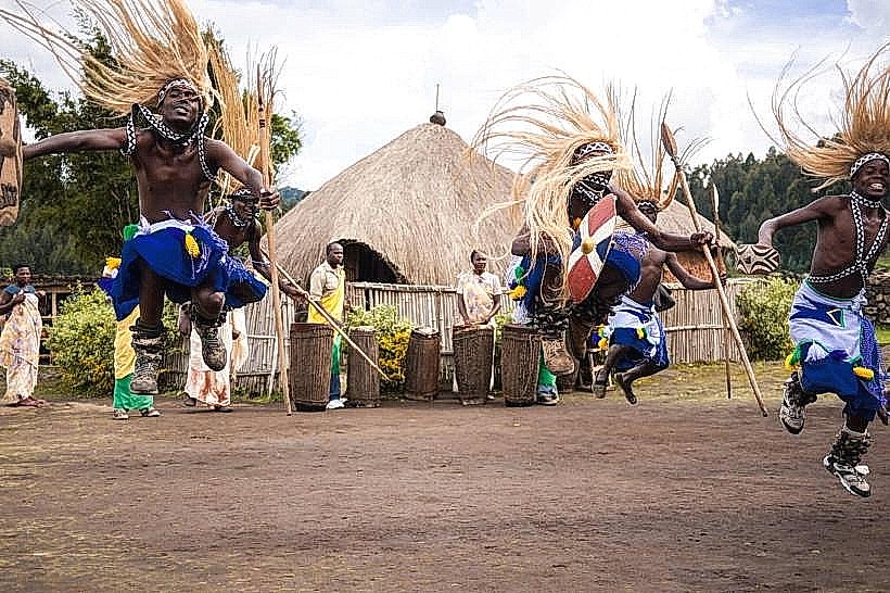
A verified historical oddity is that the caves have served as a "silent city" during various eras, housing thousands of people during times of instability due to their complex, defensible network. A local myth suggests the caves are inhabited by ancient spirits that guard the volcanoes; guides often point to specific rock formations said to represent the silhouettes of ancestral protectors.
Nearby Landmarks
Volcanoes National Park Headquarters – 12km West
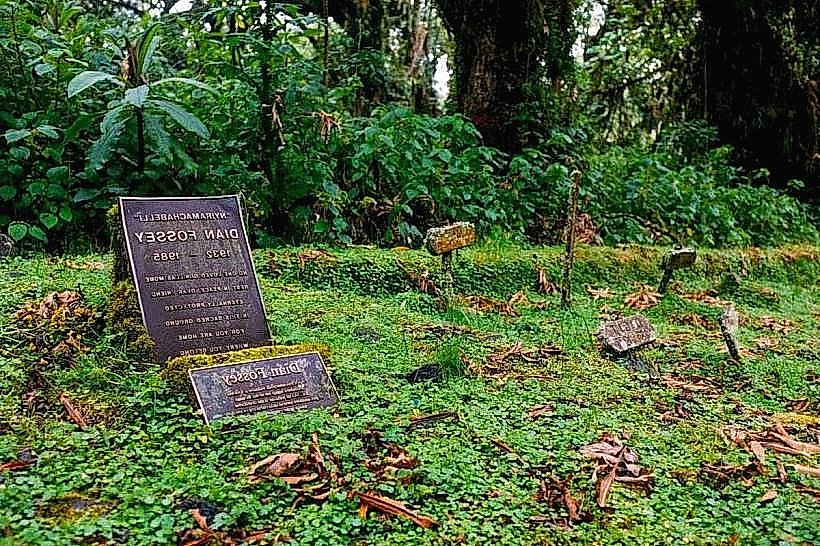
Dian Fossey Gorilla Fund International – 3.5km North
Musanze Modern Market – 2.1km South
Red Rocks Rwanda – 7.5km West
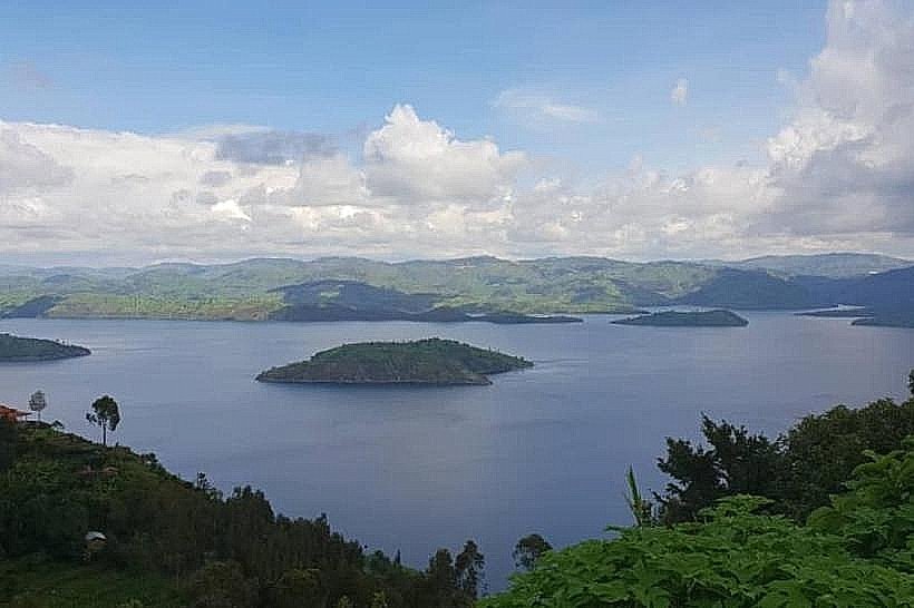
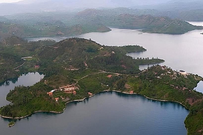
Twin Lakes (Burera and Ruhondo) – 18km East