Landmark: Lake Ruhondo
City: Musanze
Country: Rwanda
Continent: Africa
Lake Ruhondo, Musanze, Rwanda, Africa
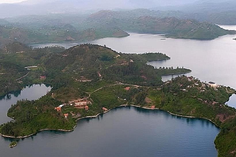
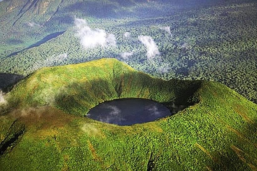
Lake Ruhondo is a high-altitude freshwater body located in the Burera and Musanze Districts of the Northern Province. It sits at an elevation of 1,764 meters, positioned approximately 100 meters lower than its twin, Lake Burera, from which it is separated by a 1-kilometer volcanic neck.
Visual Characteristics
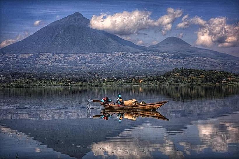
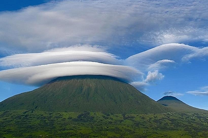
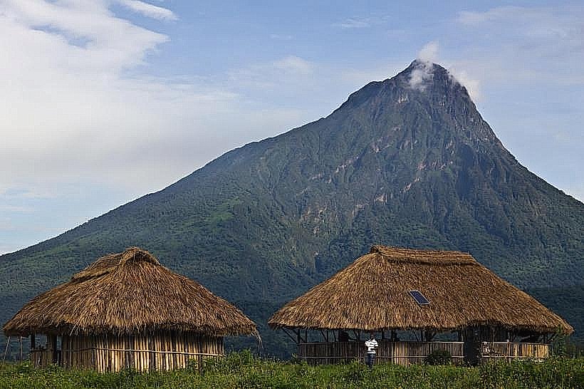
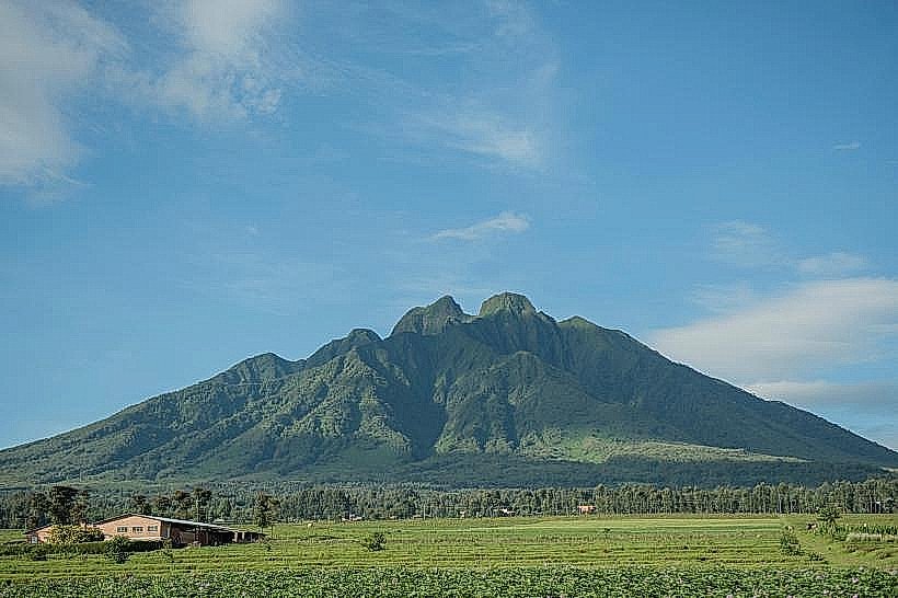
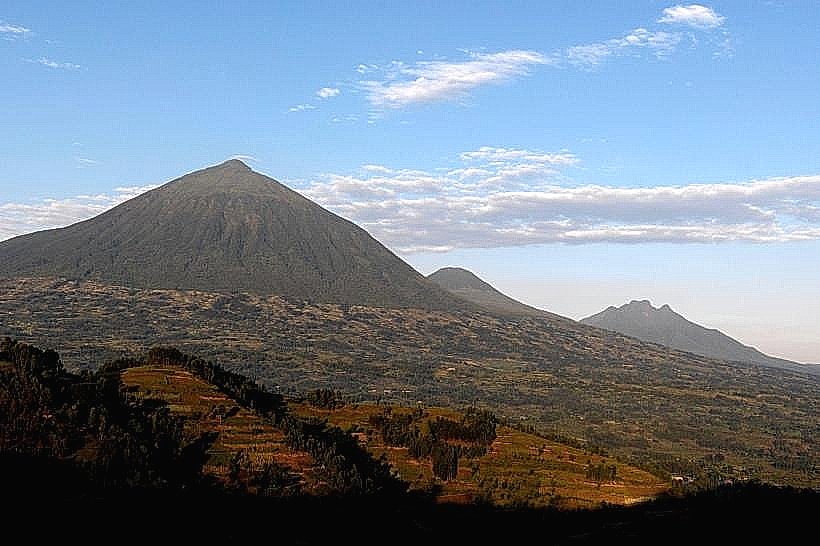
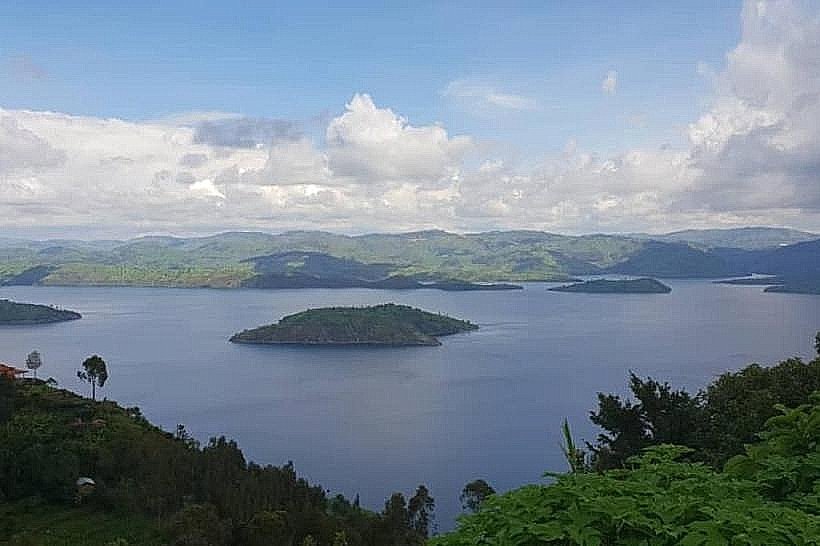
The lake features a deeply indented coastline with numerous steep, emerald-green peninsulas and small, cultivated islands. Its waters appear a darker shade of blue-green compared to Lake Burera due to the higher concentration of aquatic vegetation along its shallower peripheral zones. The surrounding topography is dominated by the massive southern slopes of the Virunga volcanoes, specifically Mount Muhabura and Mount Gahinga. The shoreline is characterized by dark volcanic rock and fertile silty clay used for terraced agriculture.
Location & Access Logistics
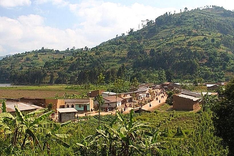
Ruhondo is situated approximately 12km northeast of the Musanze town center. Primary access is via the unpaved but well-maintained gravel road branching off the RN4 at the Muhoza sector. Private 4x4 vehicles are recommended for the final 5km descent to the lake shore. Public transport "matatus" (minibuses) run from Musanze to the nearby trading centers, followed by a motorcycle taxi (moto) transit to the Ntaruka or Rwaza landing sites. Boat taxis are the primary method of transport between the various lakeside communities and islands.
Historical & Ecological Origin
The lake was formed during the late Pleistocene epoch when lava flows from the Virunga volcanic chain dammed the regional river valleys. Geologically, it is a lava-dammed lake with a maximum depth of approximately 68 meters. It serves as the lower reservoir for the Ntaruka Hydroelectric Power Station, receiving water discharged from Lake Burera via a steep 100-meter drop. The ecosystem supports a variety of freshwater fish, including tilapia and haplochromines, though the introduction of invasive water hyacinth remains a monitored ecological concern.
Key Highlights & Activities
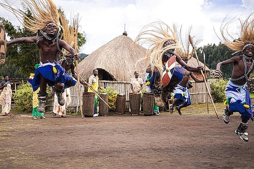
The primary activity is the "Twin Lakes" boat cruise, which often includes a stop at the central islands for bird watching. The lake is a habitat for malachite kingfishers, yellow-billed ducks, and grey crowned cranes. Traditional dugout canoe fishing is a common sight, and visitors can participate in "catch-and-release" angling with local guides. Hiking the "Inter-Lake Ridge" provides a 360-degree vantage point of both Ruhondo and Burera simultaneously.
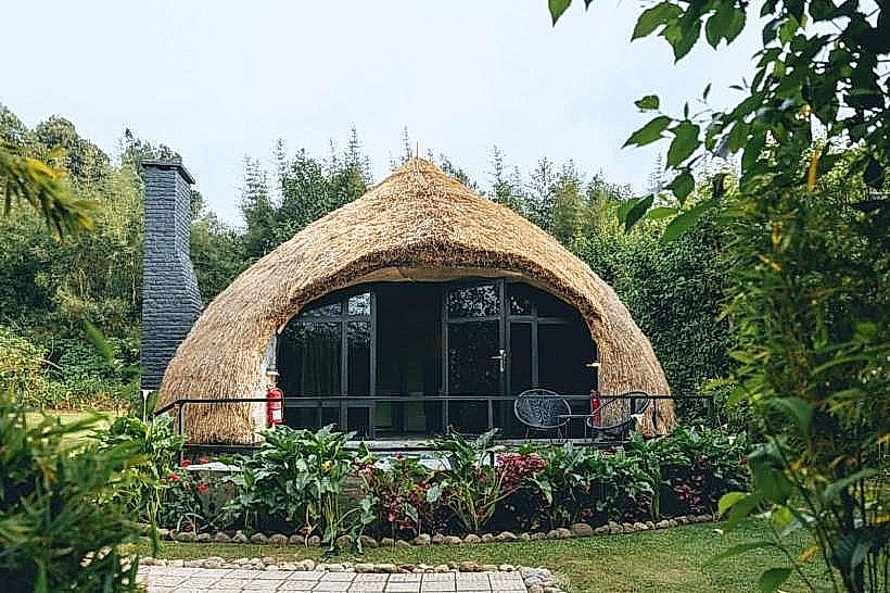
Infrastructure & Amenities
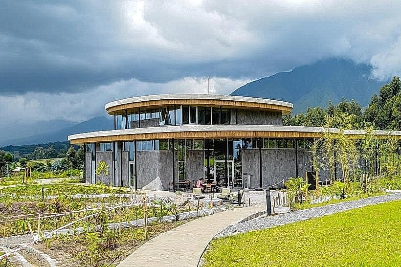
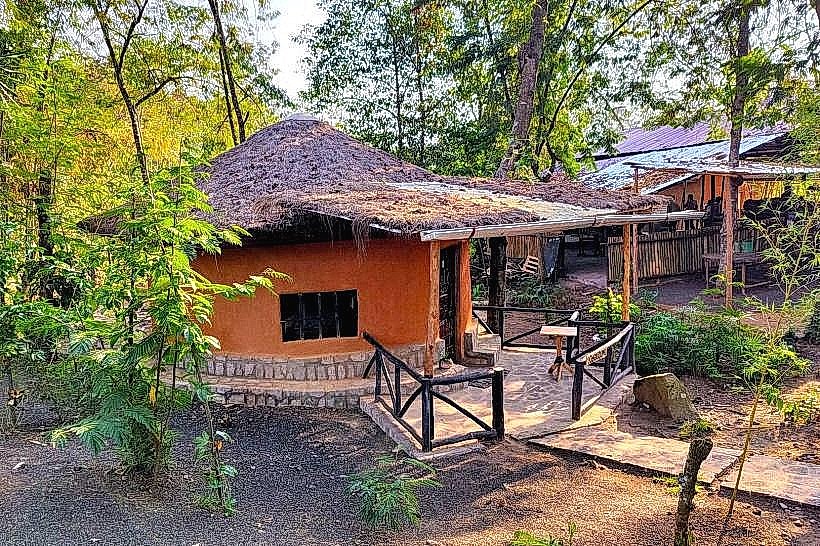
Infrastructure is concentrated around a few boutique eco-lodges and the Ntaruka power station area. Modern public restrooms are only available within these private establishments. 4G and 5G cellular coverage is consistent across the lake surface. There are no centralized public food courts; visitors typically utilize lodge restaurants or bring self-contained supplies. Small local kiosks at the Ntaruka junction sell bottled water and basic provisions.
Best Time to Visit
The best time for photography is 06:30 to 08:30 when the surface is calm and the Virunga volcanoes are most likely to be clear of cloud cover. The dry seasons (June–August and December–February) offer the most stable hiking conditions. Late afternoon (16:30 to 17:45) provides optimal lighting for the western peninsulas and the silhouette of the volcanoes against the horizon.
Facts & Legends
A verified technical fact is that Lake Ruhondo acts as a massive "settling pond" for the Ntaruka power system, filtering silt before the water continues its journey into the Mukungwa River. Local oral tradition holds that the lake was created by a legendary figure who struck the ground with a staff to provide water for a thirsty traveling army. A unique logistical detail is that the lake levels are strictly regulated by the Rwanda Energy Group (REG) to ensure consistent hydroelectric output.
Nearby Landmarks
Lake Burera – 0.8km North
Ntaruka Hydroelectric Power Station – 0.4km North
Mount Muhabura – 10.5km North
Musanze Town Center – 12.0km Southwest
Mukungwa River Intake – 1.5km West