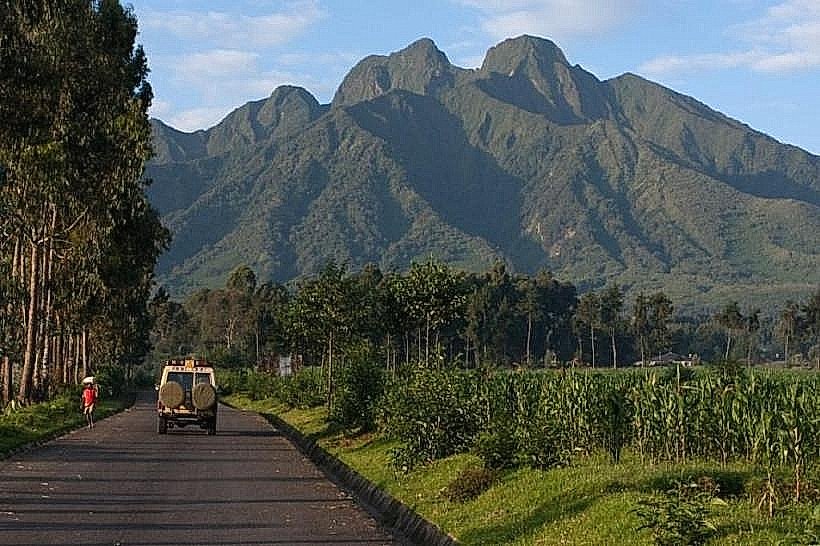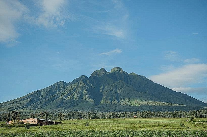
Landmark: Mount Sabyinyo
City: Musanze
Country: Rwanda
Continent: Africa
Mount Sabyinyo, Musanze, Rwanda, Africa
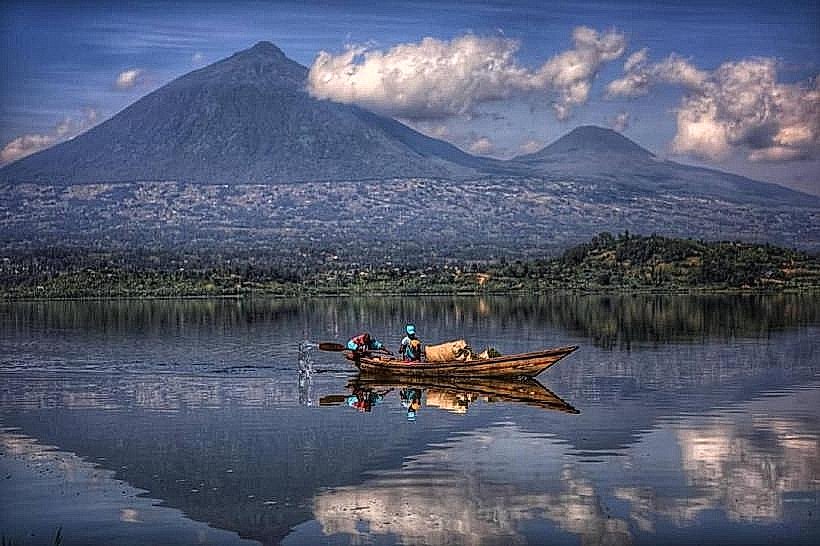
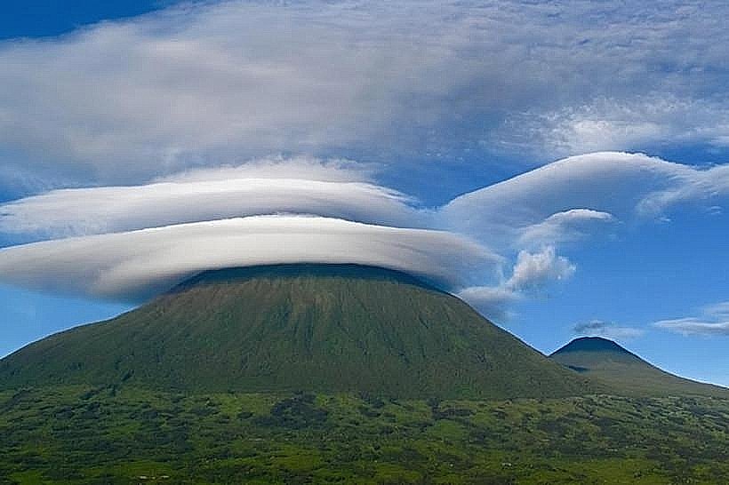
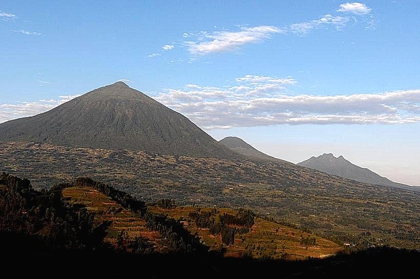
Mount Sabyinyo is an extinct stratovolcano within the Virunga Mountains, rising to a summit of 3,669 meters. It marks the precise tripoint where the borders of Rwanda, Uganda, and the Democratic Republic of the Congo intersect.
Visual Characteristics
The mountain is defined by its distinctively jagged, multi-summited silhouette, featuring three main peaks connected by narrow, "knife-edge" ridges. Unlike the symmetrical cones of its neighbors, Sabyinyo’s form is heavily eroded, characterized by deep craters and sharp basaltic spires. The vegetation transitions from dense bamboo forests (2,400m–2,800m) to Hagenia-Hypericum woodlands (2,800m–3,200m), eventually giving way to sub-alpine moorlands dominated by giant lobelias and old man’s beard lichen.
Location & Access Logistics
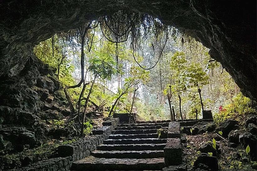
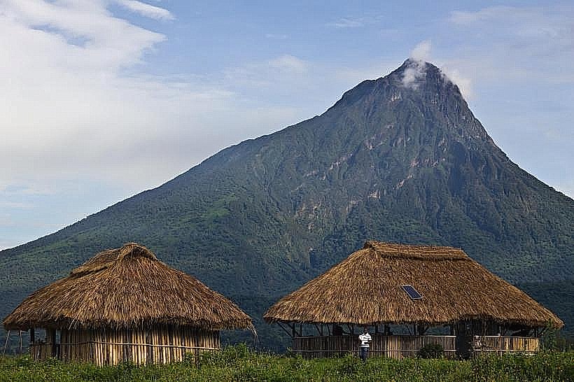
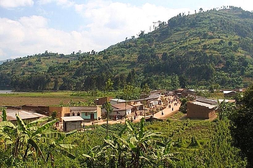
Sabyinyo is situated roughly 15km north of Musanze (Rwanda) and 14km southwest of Kisoro (Uganda). While the mountain is shared by three countries, the only viable hiking route is from the Ugandan side via Mgahinga Gorilla National Park. The terrain on the Rwandan and Congolese faces is considered too rugged and dangerous for standard trekking. The round-trip hike takes 7 to 9 hours, starting at the Ntebeko Park Headquarters at 07:00. Access requires a high-clearance vehicle to reach the trailhead from Kisoro or the Cyanika border post.
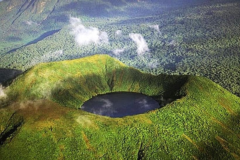
Historical & Ecological Origin
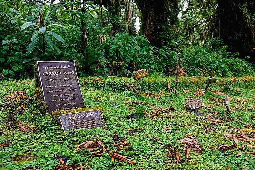
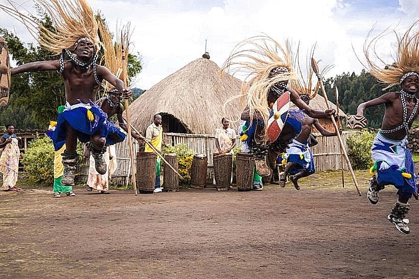
Geologically, Sabyinyo is the oldest of the eight Virunga volcanoes, formed during the Pleistocene epoch. It has been extinct for several thousand years, allowing extensive erosion to carve its unique profile. The name "Sabyinyo" is derived from the Kinyarwanda word iryinyo, meaning "tooth," as the serrated peaks resemble the worn teeth of an old man. Ecologically, it is a critical refuge for the endangered mountain gorilla and the golden monkey. It is also the site of the first scientific identification of mountain gorillas by Captain Robert von Beringe in 1902.
Key Highlights & Activities
The primary activity is the summit trek, which allows visitors to stand in three countries simultaneously at Peak 3. The route involves ascending a series of vertical wooden ladders built into the steepest rock faces to bypass hazardous ridges. Primate tracking is a specific action, as the bamboo zone is a primary habitat for golden monkeys and the Nyakagezi gorilla family. Bird watching is productive for Albertine Rift endemics, specifically the Rwenzori Turaco and the handsome francolin.
Infrastructure & Amenities
Infrastructure on the trail is specialized, featuring long wooden ladders and boardwalks over swampy sections. There are no shelters or restrooms on the mountain; facilities are limited to the Ntebeko visitor center at the base. 4G cellular signal is available at the headquarters but becomes non-existent in the deep craters. Armed rangers and professional guides are mandatory for all groups. Porters are available for hire at the park entrance to assist with gear on the steep gradients.
Best Time to Visit
The dry seasons-June to September and December to February-are the only recommended times for the ascent. During these months, the wooden ladders are less slippery and the 360-degree views from the summit are most likely to be clear of orographic clouds. In the rainy seasons, the trail becomes exceptionally muddy, and high-altitude winds can make the narrow ridge sections hazardous.
Facts & Legends
A verified geographical fact is that Peak 3 is the only place in the world where a traveler can be in three different time zones simultaneously (though Rwanda and DRC share a zone, Uganda is one hour ahead). Local legend holds that the mountain possesses supernatural protective powers; traditional rituals were historically performed on its slopes to ask for ancestral blessings. A unique local tip: the ladders are vertigo-inducing, and the hike is specifically recommended only for those without a significant fear of heights.
Nearby Landmarks
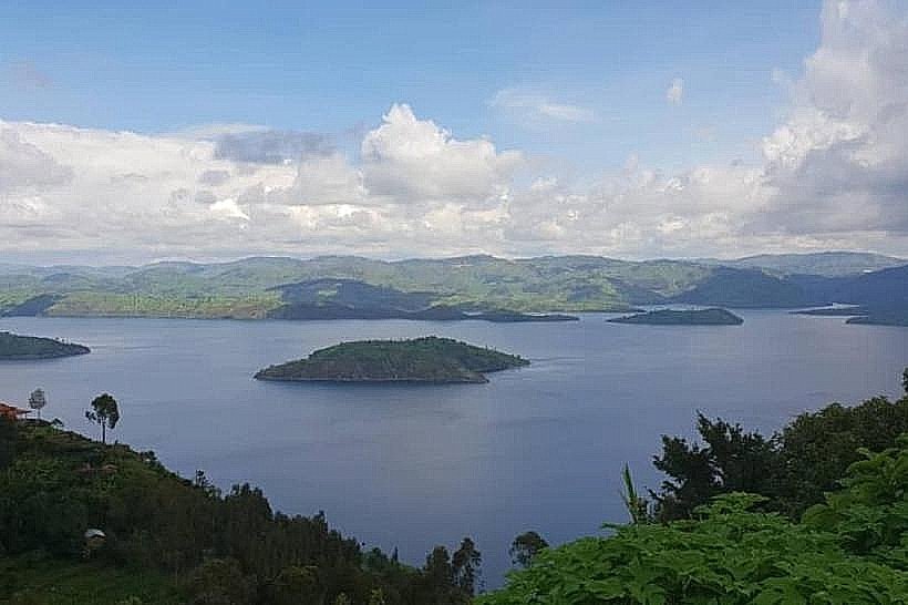
Lake Mutanda – 18.0km Northeast
Cyanika Border Post – 14.0km East
Mount Gahinga – 4.2km East
Ntebeko Visitor Center – 3.5km North
Lake Bunyonyi – 45.0km Northeast