Landmark: Mount Gahinga
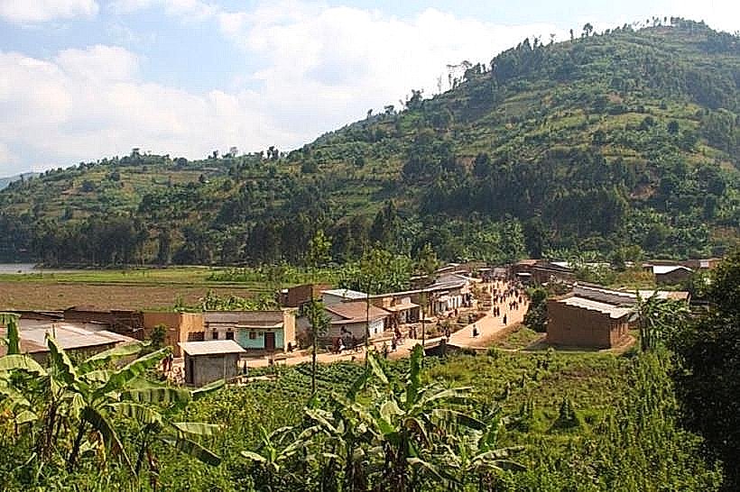
City: Musanze
Country: Rwanda
Continent: Africa
Mount Gahinga, Musanze, Rwanda, Africa
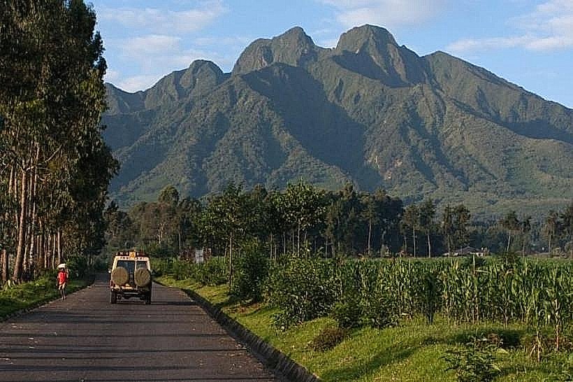
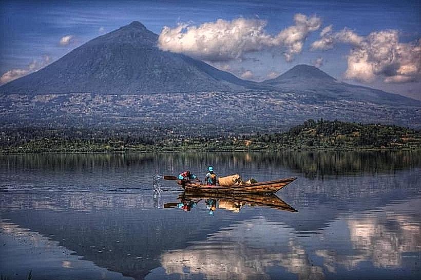
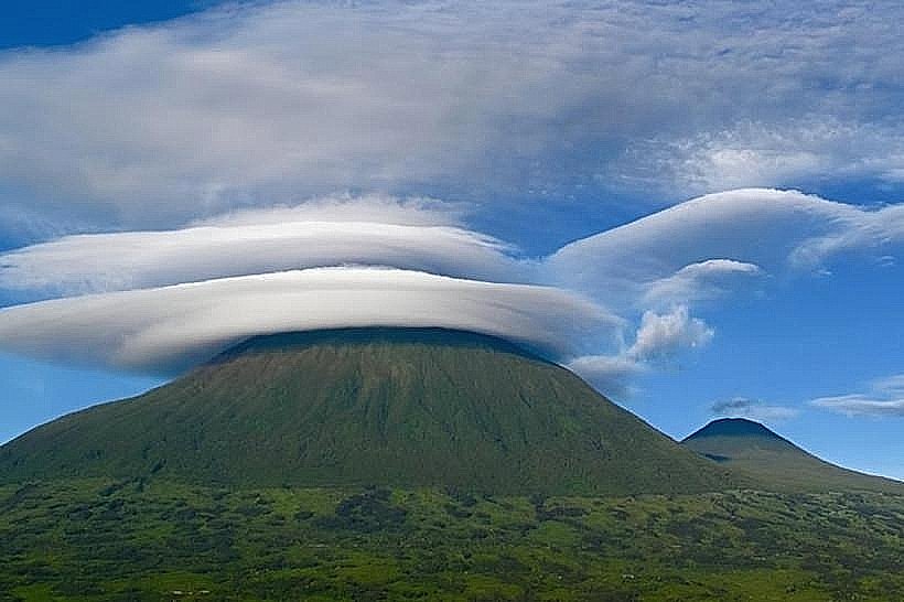
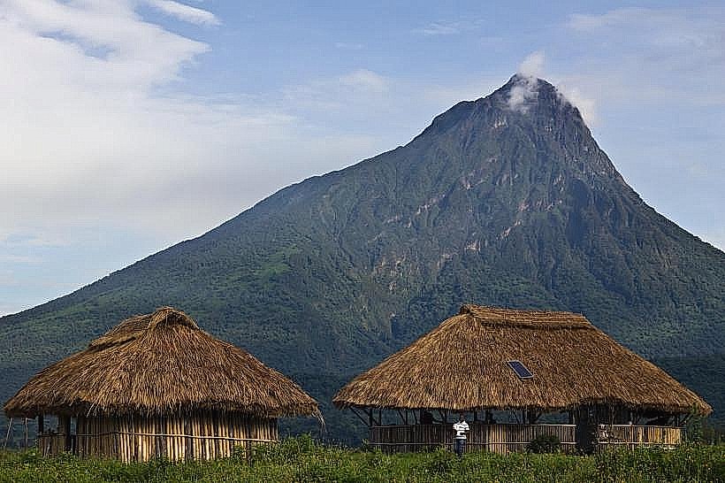
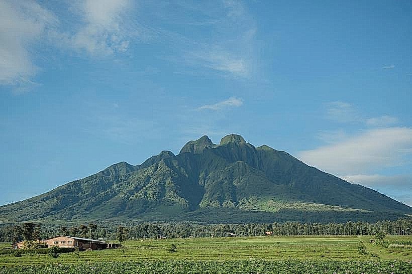
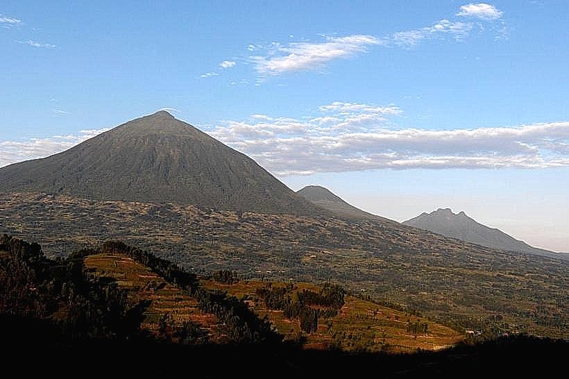
Mount Gahinga is a dormant stratovolcano in the Virunga Mountains, rising to an elevation of 3,474 meters. It is situated on the border between Rwanda and Uganda, lying between the larger peaks of Mount Muhabura and Mount Sabyinyo.
Visual Characteristics
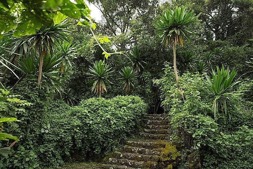
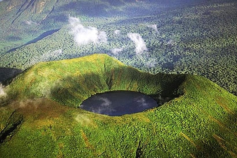
Gahinga is the smallest of the three volcanoes in Mgahinga Gorilla National Park, featuring a distinct cone-shaped profile. The summit is unique for its 180-meter-wide swampy caldera, which was formerly a crater lake. The vegetation transitions from dense bamboo forests at the base to sub-alpine moorlands and heathland near the peak, where rare plants such as Senecio, Lobelia, and Alchemilla thrive. The terrain is notably rocky, particularly on the lower slopes where volcanic boulders are prevalent.
Location & Access Logistics
The mountain is located in the Kisoro District of southwestern Uganda and the Northern Province of Rwanda. The primary access point is the Ntebeko Visitor Center in Uganda's Mgahinga Gorilla National Park. From Kisoro town, the park headquarters is a 14km drive on a gravel road. A round-trip hike typically takes 6 to 8 hours and is considered a moderate day trek. Permits are required from the Uganda Wildlife Authority (UWA), costing approximately $80 for international visitors, and include a mandatory armed park ranger and guide.
Historical & Ecological Origin
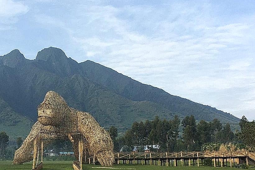
The name "Gahinga" is derived from the local Kinyarwanda/Rufumbira word for "a small pile of stones," referring to the stone cairns piled by farmers clearing the volcanic fields. Geologically, it is part of the East African Rift System and is one of the younger volcanoes in the chain, estimated to be around 100,000 years old. Ecologically, it serves as a critical sanctuary for the endangered mountain gorilla and the golden monkey, with the latter being endemic to the Albertine Rift's bamboo zones.
Key Highlights & Activities
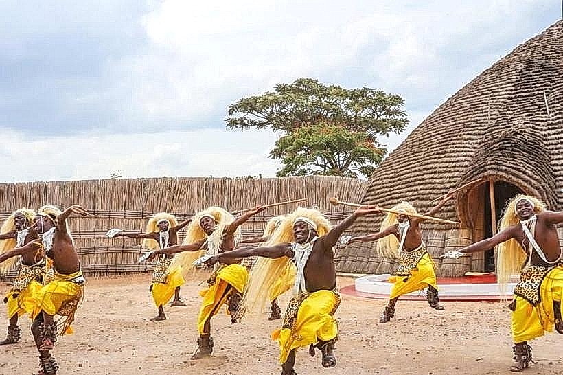
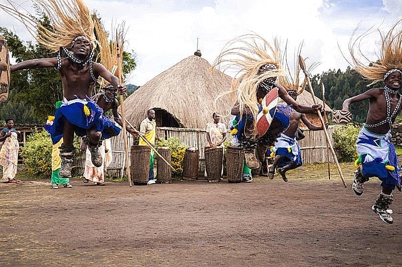
The primary activity is the summit hike, which offers panoramic views of the Virunga range and the Rwenzori Mountains on clear days. Primate tracking is a specific action, as the bamboo zone is a high-density area for golden monkeys. The "Sabinyo Gorge" trail, which starts near the base of Gahinga, is a major site for bird watching, with over 180 species recorded including the Rwenzori Turaco. Cultural tourism is centered on the Batwa Trail, where indigenous Batwa guides demonstrate ancient forest survival skills.
Infrastructure & Amenities
Infrastructure is concentrated at the Ntebeko Park Headquarters, which features a briefing area, modern restrooms, and a small information center. On the mountain, there are designated resting points, but no permanent shelters or toilets exist at the summit. 4G cellular signal is available at the park entrance but becomes intermittent in the bamboo forest. Professional porters are available for hire at the trailhead to assist with bags and provide physical support on steeper sections.
Best Time to Visit
The dry seasons-June to September and December to February-are the most favorable for hiking due to lower rainfall and firmer trails. During these months, visibility from the summit is at its peak. While the park is open year-round, the wet seasons (March–May and October–November) make the volcanic clay on the trails extremely slippery and often obscure the crater views with heavy mist.
Facts & Legends
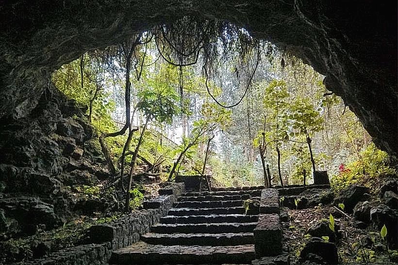
A verified geological fact is that the summit swamp is a vital high-altitude wetland that supports several park-endemic amphibian species. A local legend associated with the Batwa people suggests that the "Garama Cave" near the base of the mountain was once a royal residence and a site for spiritual ceremonies before the park was gazetted. A unique logistical detail: Gahinga is often recommended as the "introductory" hike for the Virungas because its gradient is less technical than that of Sabyinyo or Muhabura.
Nearby Landmarks
Garama Cave – 1.5km from Ntebeko Headquarters
Mount Muhabura – 3.5km East
Mount Sabyinyo – 4.2km West
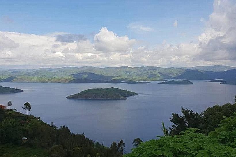
Lake Mutanda – 15.0km North
Cyanika Border Post – 12.0km East